I’m currently available for your work
If you have a project that you want to get started, think you need my help with something or just fancy saying hey, then get in touch. I had over 15 years of industrial, teaching, research and consultancy experience.
Academic Interest
Teaching
Information Communication Technology and Applied Environmental Geophysics
Research
Earthquake Engineering, Applied Geophysics & Engineering Optimization
Consultancy
Underground exploration using Geophysics Method and Website Development
Get a Quote For Your Project
Geophysical Survey
Geophysics is a modern science routinely applied to ground exploration. Geophysical surveys should be a routine part of most ground investigations for civil engineering projects and mineral exploration. The use of geophysics often represents the only way of achieving total ground coverage to ensure targets are reliably identified and imaged prior to invasive work. A range of survey tools are available for mapping/profiling subsurface targets such as mineral bodies, engineering rockhead, shallow archaeology, environmental contamination through to unexploded ordnance.
Site Characterization
- Buried Foundations
- Tanks and Drums
- Buried Services
- Contamination Plumes
Ground Hazards
- Mine Workings
- UXO
- Karst
- Slope Stability
Geotechnical
- Rockhead Profiling
- Fractures/Faults
- Geological Mapping
- Engineering Properties
Archaeology/3D Survey
- Archaeology Mapping
- Heritage Structures
- Historical Sites
- Building Scanning & Survey
Resistivity Survey
Electrical properties are among the most useful geophysical parameters in characterising Earth materials. Variations in electrical resistivity (or conversely, conductivity) typically correlate with variations in lithology, water saturation, fluid conductivity, porosity and permeability.
Acquisition of resistivity tomography data involves the deployment of an array of regularly spaced electrodes, which are connected to a central control unit via multi- core cables. Linear arrays are employed for 2D surveys while a square array is used for a 3D survey. Resistivity data are then recorded via complex combinations of current and potential electrode pairs to build up a pseudo cross-section of apparent resistivity beneath the survey line. The depth of investigation depends on the electrode separation and geometry, with greater electrode separations yielding bulk resistivity measurements to greater depths.
The modeled true subsurface resistivity image is then derived from finite-difference forward modeling via specialist software (RES2DINV). The true resistivity models are presented as color-scaled contour plots of changes in sub-surface resistivity with depth.
Applications of resistivity:
- Mapping geological features
- Detection of buried structures
- Karst & solution features
- Groundwater exploration
- Landfill waste mass studies
The benefits:
- Up to 1.5 line km per day
- Depths down to 60+ meters
- Laterally continuous data
- Non-invasive
- Exceptional value
Seismic Refraction Survey
Seismic refraction is a useful method for investigating geological structure and rock properties. The technique involves the observation of a seismic signal that has been refracted between layers of contrasting seismic velocity. Shots are deployed using a hammer/gun/explosive source at the surface and shockwave data recorded via a linear array of geophone sensors. The travel-times of refracted signal are derived from the data and are then processed to determine depth profiles of the targeted geological boundary.
The cross-section illustrates the advantage of carrying out a seismic refraction survey to map rockhead between exploratory boreholes. The results from the refraction survey identified a ‘channel’ feature at the bedrock interface, which also correlated to a zone of low seismic velocity. This was interpreted and subsequently proven to be preferential weathering along a bedrock fracture zone.
Applications of seismic:
- Engineering rockhead
- Weathered rockhead
- Bedrock structure
- Buried channels
- Rock strength & rippability
- Water table
The benefits:
- Low Cost
- High productivity
- Continuous profiles
- Non-invasive
- Environmentally friendly
Latest Projects

Groundwater Exploration
Groundwater exploration is the investigation of underground formations to understand the hydrologic cycle, know the groundwater quality, and identify the nature, number and type of aquifers.
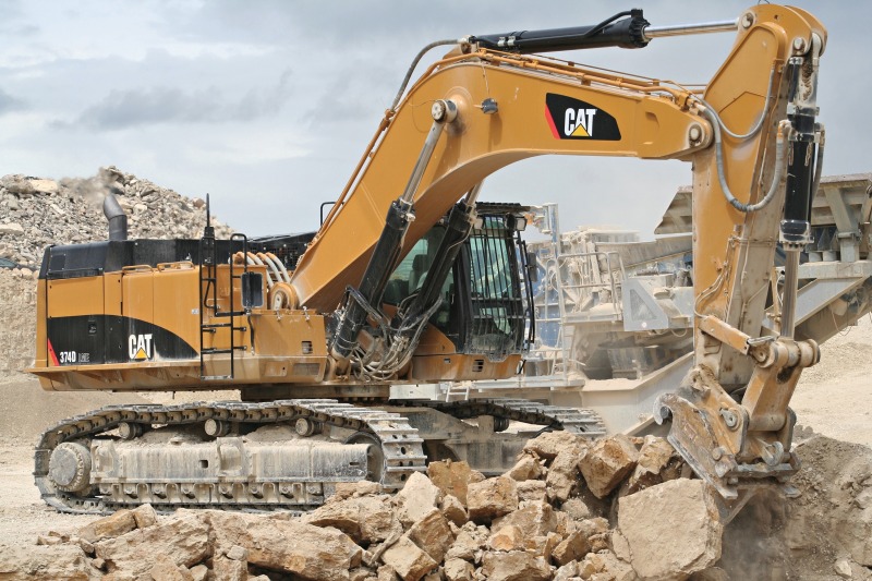
Rock Strength & Rippability
The rippability of an earth (rock) material is a measure of its ability to be excavated with conventional excavation equipment. A material may be classified as rippable, marginally rippable or non-rippable.

Detection of Buried Structures
Electrical resistivity method was able to detect the buried concrete structures targeted based on the contrast of the electrical resistivity image produced. Thus applicable to be a useful alternative tool in underground structure detection.
Contact Me

Ts. Dr. Mohd Nur Asmawisham bin Alel
School of Civil Engineering
Faculty of Engineering
Universiti Teknologi Malaysia
81310 Johor Bahru
Johor, MALAYSIA