Viva Voce Abd Ramlizauyahhudin Mahli

Big Congratulations to Abd Ramlizauyahhudin Mahli, Timbalan Pengarah (Pembangunan), Jabatan Hutan Negeri Johor, for his completion in thesis defend on 28 June 2021.

Title: Development of Canopy Properties Using LIDAR and High Resolution Photographs for Simulating Throughfall in Forested Area

Abstract

Photo Session: Well done to Ramli.

Examiners

  1. Prof. Dr. Zulkifli Yusop, Universiti Teknologi Malaysia (UTM)
  2. Prof. Madya Dr. Ahmad Fikri Abdulllah, Universiti Putra Malaysia (UPM)

Chairmen & Assistant

  1. Prof. Dr. Muhammad Zaly Shah Bin Muhammad Hussein , UTM
  2. Dr. Alvin Lau, UTM

Viva Voce Mohd Yussainy Md Yusop

Huge Congratulations to Mohd Yussainy Md Yusop, Pengarah Forest Eco-Park & Hutan Taman Negeri, Jabatan Perhutanan Semenanjung Malaysia (JPSM) for his success in defending the MSc Thesis.

Title: Evaluation of Tropical Rainforest Crown Segmentation and Individual Tree Inventory Using Airborne Lidar Data

Abstract

Presenting the Msc Thesis
Q & A Session with panels.

Examiners

  1. Prof. Sr. Dr. Zulkiflee Abd Latif, Universiti Teknologi MARA (UiTM) Shah Alam.
  2. Prof. Madya Dr M. Zulkarnain Abd Rahman, Universiti Teknologi Malaysia (UTM)

Chairman & Assistant

  1. Prof. Madya Lar. Dr. Sapura Bt Mohamad, Universiti Teknologi Malaysia (UTM)
  2. Dr. Mohd Rizaludin Mahmud, Universiti Teknologi Malaysia (UTM)

How to measure distance from radar signal?

Synopsis

One topic in SBEU 1032 is the Microwave Measurement and Sensing. Basic microwave requires basics in mathematics – algebra, calculus and statistics plus fundamental of physics such as wave and optics.

Fundamental of radar is based on the relationship between the speed of light and the delay time of reception and transmission signal.

Basic Radar Equation

To compute the distance, the time delay must be determined from the difference between the time at trailing edge and leading edge of the discrete signal function.

Trailing and leading edges for computing the distance using radar profile.

Geographically Weighted Regression Model For Spatial Downscaling Of Global Precipitation Measurements In Kelantan

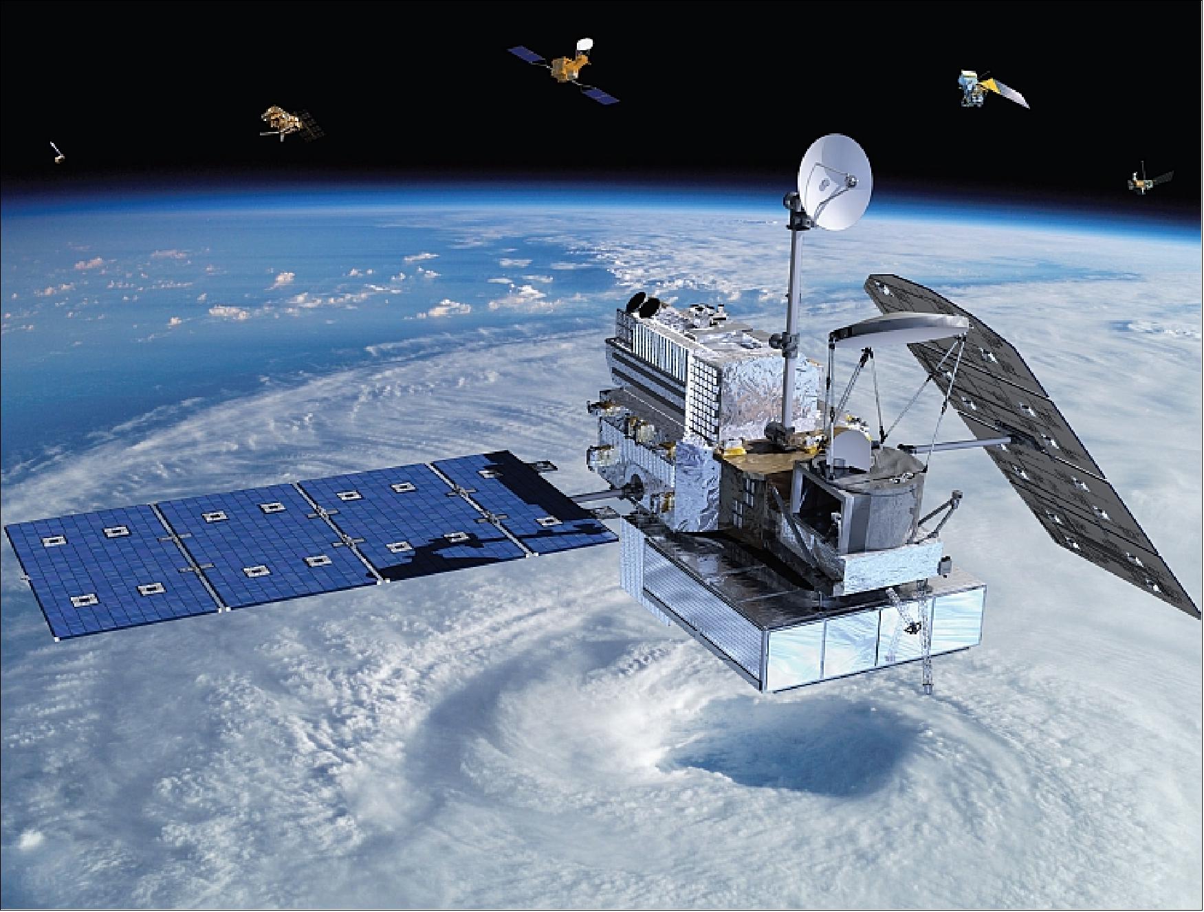
Rainfall measurement by satellite precipitation is contemporary and the spatial resolution is always limited for coarse spatial extent that less representing the rain distribution at local. Spatial interpolation is crucial to overcome this issue and helps in deriving better geospatial information of the ground rain information. Source: Global Precipitation Measurement (Credit: NASA)
Continue reading “Geographically Weighted Regression Model For Spatial Downscaling Of Global Precipitation Measurements In Kelantan”

Viva Voce Syarawi Husni

Big Congratulations to Syarawi Husni after successfully defending his PhD thesis on 29/11/2021. He will join the Universiti Sains Malaysia (USM) soon.

Title: Satellite Altimeter Wind Speed Estimation and Tropical Cyclone Characterization Using Machine Learning

Abstract

Photo Session. Congratulations to Syarawi.

Examiners

  1. Prof. Dr. Abd Rashid Mohd Sharif, Universiti Putra Malaysia (UPM)
  2. Prof. Dr. Mazlan Hashim, Universiti Teknologi Malaysia (UTM)

Chairman & Assistant

  1. Prof Dr. Ismail Said, Universiti Teknologi Malaysia (UTM)
  2. Dr. Mohd Rizaludin Mahmud, Universiti Teknologi Malaysia (UTM)

Result

Merit with B1 grade, given a 3 months for correction.