Apple Maps has been updated with comprehensive transit data for the United Kingdom, beyond the London area already supported.

Transit directions by bus, train, or tram are now available within and between large metropolitan areas such as Birmingham, Manchester, Glasgow, Leeds, Bradford, Liverpool, Newcastle, Sheffield, Bristol, and Cardiff, including some outlying areas, and other regions in England, Scotland, and Wales.
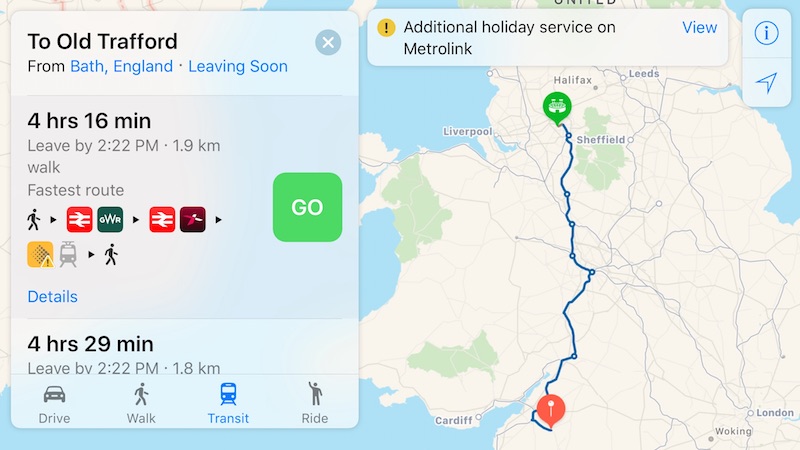
Transit coverage extends to a number of mid-size cities, small towns, and rural areas as well. Directions are available between Nottingham and Brighton, for example, and most other searches between any two areas in England, Scotland, and Wales yielded at least one available route in Transit mode.
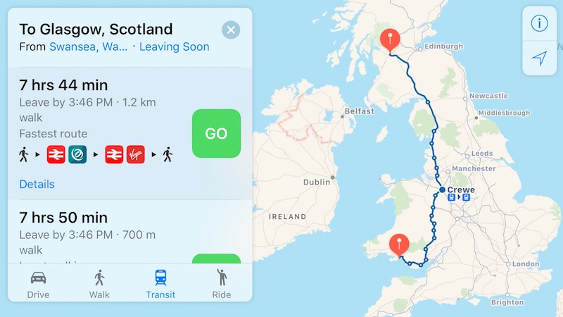
Apple Maps now supports the National Rail network in many areas of the United Kingdom, including the CrossCountry, TransPennine Express, Great Western Railway, Grand Central, Northern Rail, East Midlands Trains, Virgin Trains, Virgin Trains East Coast, Arriva Trains Wales, Hull Trains, and other train services.
While transit coverage is now comprehensive throughout much of Great Britain, directions remain unavailable in Belfast and elsewhere in Northern Ireland. Transit directions are likewise unavailable in neighboring Ireland.