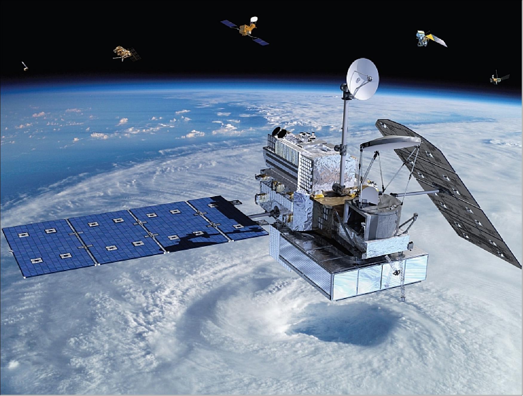
Typical gauge measurement encounters limited station samples and inherent systematic error with requirement for regular instrument calibration. Remote sensing precipitation satellite missions, the Tropical Rainfall Measuring Mission (TRMM) and the Global Precipitation Measurement (GPM), provides reliable precipitation estimates at over large spatial extent.
Yet, the precipitation pixel is hardly to spatially matched with the point-based gauge data at acceptable local scale and thus, give gives poor empirical relationship.

This research to apply the Geographically Weight Regression (GWR) method which put forward local regression with spatial non-stationary modeling to downscale both satellite precipitation data by cross-correlation between NDVI and DEM data at high spatial resolution.
Three consecutive periods from October to December on 2013 to 2016 over Kelantan area were applied to GPM, TRMM, Moderate Resolution Imaging Spectroradiometer (MODIS) NDVI, Shuttle Radar Topography Mission (SRTM) DEM and ground gauge data.


This study proves that the GWR downscaling approach is suitable for tropical rainfall type in Kelantan and cross-correlating with other rainfall related geo-parameters such as vegetation index and elevation.

