
“Driven by curiosity and guided by data, I strive to connect science with society — turning spatial insights into real-world solutions.”
“Digerakkan oleh rasa ingin tahu dan dipandu oleh data, saya berusaha menghubungkan sains dengan masyarakat — menukar pandangan geospatial kepada penyelesaian dunia sebenar.”
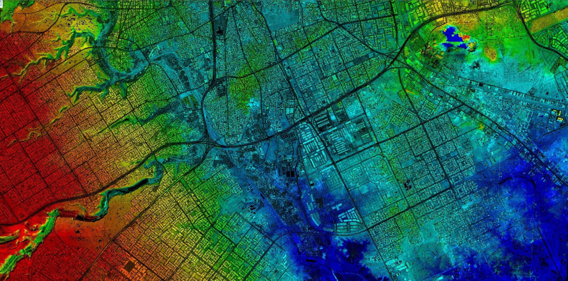
Advancing Geospatial Intelligence for a Smarter Future
Our comprehensive suite of professional services transforms data into actionable insights — empowering decision-makers, supporting sustainable development, and building resilience through spatial intelligence and artificial intelligence.
Geospatial Analysis & Mapping
Leverage cutting-edge GIS and remote sensing technologies for accurate spatial analysis, mapping, and decision support.
AI-Driven Environmental Modelling
Experience the fusion of imagination and expertise with Études Architectural Solutions.
Spatial Data Infrastructure Development
Design and implement geospatial platforms, databases, and dashboards for smarter urban planning and natural resource management.
Natural Hazard & Risk Assessment
Combine satellite imagery, terrain modelling, and AI analytics to map risk, assess vulnerability, and support disaster mitigation strategies.
Remote Sensing & Earth Observation
Extract valuable insights from multi-source satellite and airborne data for land use monitoring, forest carbon estimation, and climate impact studies.
Research, Training & Consultation
Provide expert consultation, workshops, and collaborative research in geospatial science, AI modelling, and advanced Earth observation technologies.
Smart City & Sustainability Solutions
✓ Co-develop data-driven decision-support systems with local authorities and agencies.
✓ Deliver consultancy services for urban planning, infrastructure development, and environmental monitoring.
✓ Provide spatial insights for policy formulation, carbon footprint reduction, and climate-resilient city planning.
Carbon Mapping & Environmental Intelligence
- Map above-ground biomass and estimate forest carbon stocks using LiDAR and satellite data.
- Track greenhouse gas emissions from vehicles, electricity, and land-use changes.
- Design geospatial dashboards for monitoring sustainability targets and SDG indicators.


Industry Collaboration & Technology Transfer
- Partner with government agencies, municipalities, and private companies to deliver applied geospatial solutions.
- Provide expert advisory services for national-level geospatial strategies and digital transformation initiatives.
- Bridge academic research and practical implementation through technology transfer, training, and co-development projects.
“Geospatial intelligence and AI have transformed the way we understand our environment — turning complex spatial data into actionable solutions that protect communities, optimize planning, and drive sustainable development.”
