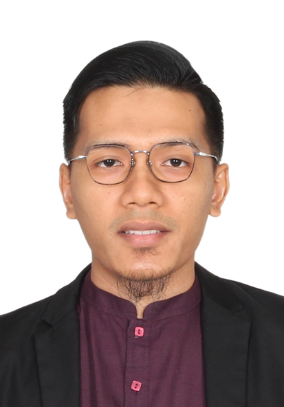
I’m Dr. Mohd Radhie Mohd Salleh, a geospatial scientist and Senior Lecturer at UTM, specializing in GIS, Remote Sensing, Surveying & Mapping, Natural Hazard & Risk Management, and AI for geospatial analytics.
Education
- Ph.D. in Geoinformatics, Universiti Teknologi Malaysia (2017–2023) — Vegetation Anomalies as an Indicator for Landslide Activity Classification using Multi-Resolution Remote Sensing Data.
- M.Phil. in Geoinformatics, UTM (2015–2017) — Progressive Morphological Filtering Algorithm Based on Spatially-Distributed Slope Value Over Tropical Vegetated Regions.
- B.Sc. (Geoinformatics), UTM (2010–2014).
Appointments
- Senior Lecturer, Department of Water & Environmental Engineering, Faculty of Civil Engineering, UTM (2024–present).
Professional Registration & Membership
- Professional Technologist, Malaysia Board of Technologists — PT24020014.
- Member, Royal Institution of Surveyors Malaysia (RISM) — M6763.
- Member, Institution of Geospatial & Remote Sensing Malaysia (IGRSM) — M879.
Awards & Honours
- 3rd Place, World Technology Universities Network Student Competition (I-Carbon Technology), 2021.
- 1st Place, NGGSIC National Geomatics/Geoinformatics Innovation (2016).
- Best Student Award, B.Sc. Geoinformatics (2014); RISM Academic Award (2014).
Expertise & Skills
- Domains: GIS, Remote Sensing, Natural Hazard & Risk Management, AI for Geospatial.
- Software: ArcGIS, QGIS, MapInfo, AutoCAD, CDS; systems: Laravel, PostgreSQL, GeoServer.
- Programming: Python, R, PHP.
- Languages: Bahasa Malaysia (fluent), English (proficient).

