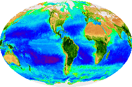
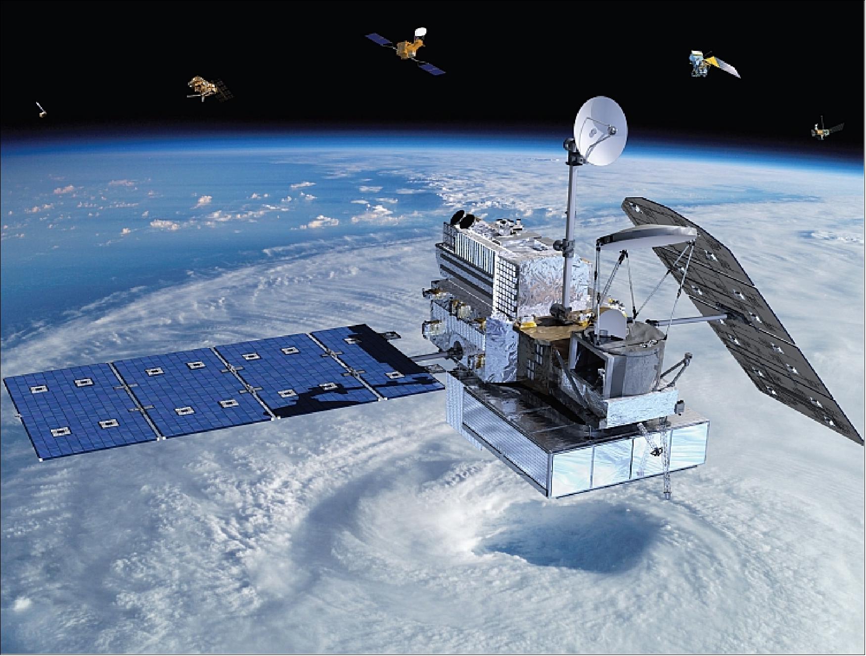
Rainfall measurement by satellite precipitation is contemporary and the spatial resolution is always limited for coarse spatial extent that less representing the rain distribution at local. Spatial interpolation is crucial to overcome this issue and helps in deriving better geospatial information of the ground rain information. Source: Global Precipitation Measurement (Credit: NASA)
Glacier mapping by satellite remote sensing helps in monitoring the health status of glacier dynamics. However, multi-band images by optical satellite suffered by the mixed pixels in representing the clear ice glacier.
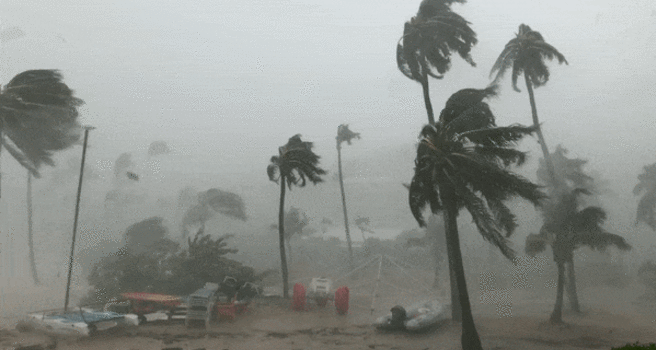
The reflectivity (Z)-rain rate (R) model has not been tested on single polarization radar for estimating monsoon rainfall in Southeast Asia, despite its widespread use for estimating heterogeneous rainfall.
The journey to Antarctica started from 25 February 2015 to 19 March 2015. The intention is to seek scientific evidents on the impact of Antarctica and Southern Ocean towards biological and environmental sustainability in Tropics especially in Malaysia water and land.