
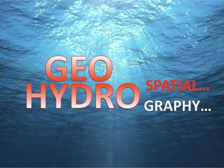
In the last decades, we have progressed from ‘graphic’ to ‘digital’ and now to ‘spatial’. Today, the marine geospatial revolution is so dramatic that it is recommended to adopt a new word to describe it, this word is ‘hydrospatial’; a word that conveys the image of the modern, hi-tech, multi-role, digital data environment in which we now operate. The term hydrospatial was first used in the UK in early 2000’s. Hydrospatial aims to broaden and expand the more widely known term ‘hydrography’ beyond the realm of sea navigation. Some may prefer to use Spatial Hydrography. But it is suggested that the term hydrospatial provides a refinement of the concept of blue geospatial in the blue economy.
