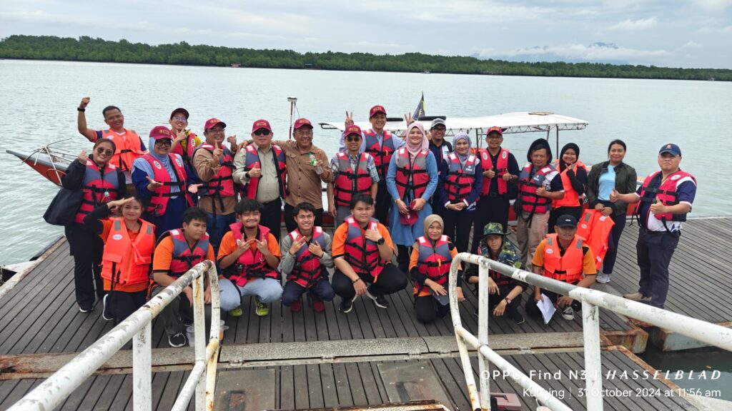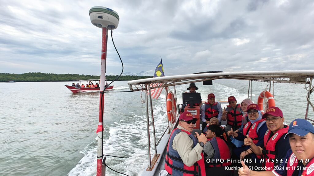
31 Oct 2024 | Together with the Centre of Excellent Sarawak (CENTEXS), Jabatan Tanah dan Survei Sarawak (JTS), Land Surveyors Board Sarawak (LSBS), and the Association of Consulting Land Surveyors Sarawak (ACLS), Universiti Teknologi Malaysia successfully organized the Survey Outing Day 2024 at Esplanade Telaga Air, Kuching, Sarawak.

A total of 25 students from the Certificate in Land Surveying program at CENTEXS participated in the field practice survey today. The students were divided into four groups to conduct topographic surveying, engineering surveying, hydrographic surveying, and UAV mapping. The extensive survey tasks were assisted by modern UAVs, GPS/GNSS, and Echo Sounder systems. This hands-on experience is essential for students to apply the theoretical knowledge gained in the classroom to real-world environments.
We would like to extend our heartfelt thanks to YBhg Datuk Prof. Ts. Ir Dr. Ahmad Fauzi, Vice Chancellor of UTM, YBrs Dr. Nadianatra Musa, Deputy Director of CENTEXS, Sr Ramzi, Deputy Chairman of LSBS, also the Assistant Director of Survey, JTS, Sr John Cheu, EXCO of ACLS, YBrs. Prof. Ts. Dr. Edy Tonnizam, DVC(P), UTM, YBrs. Prof. Sr Dr. Kherun Nita, Dean of FABU, UTM, YBrs. Assoc Prof. Tajul Ariffin, Chair, Asset Management Division, UTM, YBrs. Khairull Azmi, Deputy Registrar of CTLD, UTM, Dr. Norhadija, Dr. Hafiz, Dr. Hanif, Dr. Kelvin, Hj. Bustami & En. Syazwan and all participating parties from CENTEXS & JTS. Without their strong technical supports, this event would not have been such a success.
