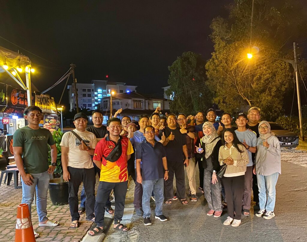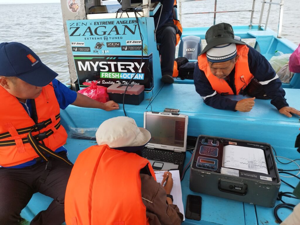
3-9 NOV 2024 | We would like to express our sincere gratitude to Jabatan Tanah and Survei Sarawak (JTS) for their invaluable support and tremendous effort in assisting our Marine Cadastre research project under the “Geran Kursi Premier Sarawak” led by Assoc. Prof. Sr Dr. Abdullah Hisam Omar, Director of ISI, UTM.

We truly appreciate all the hard work and time given by team members from JTS’s Kuching, Sri Aman and Bintulu and team members from GnG UTM as well as all participating parties. Without your strong support, this wonderful data acquisition session would not have been such a success neither in Batang Ai, Sri Aman nor Tanjung Batu, Bintulu.

May this research journey goes smoothly and be filled with fantastic discoveries and breakthroughs, and eventually brings significant benefits to the Sarawak state and country as a whole.
#UTM #JTS #GnG #TeamHydroUTM #MarineCadastre #TopoBathymetricSurveys #GrantKursiPremierSarawak

