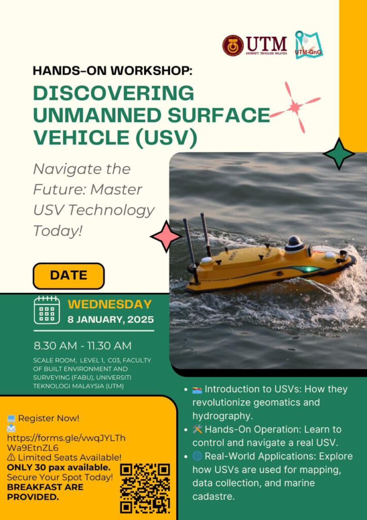
8 January 2025 | Hands-On Workshop: Discovering Unmanned Surface Vehicles (USVs)
Unmanned Surface Vehicle (USV) bathymetric survey refers to the use of autonomous or remotely operated surface vehicles equipped with bathymetric sensors (e.g. SBES, MBES, ADCP, etc.) to map underwater topography, typically in shallow waters. USVs are becoming increasingly popular for conducting bathymetric surveys due to their ability to access hard-to-reach or hazardous areas without the need for a manned vessel, thus reducing risk and operational costs.
Through engaging presentations, case studies, and practical demonstrations, participants have gain hands-on experience in operating USVs and processing collected data. The program also aims to foster discussions on the latest advancements in USV technology, regulatory challenges, and innovative solutions to address industry needs. By bringing together researchers, professionals, and students, the workshop has created a platform for knowledge exchange, networking, and collaboration, ultimately promoting the adoption of USVs as a cost-effective, sustainable, and transformative tool in marine and coastal operations.
