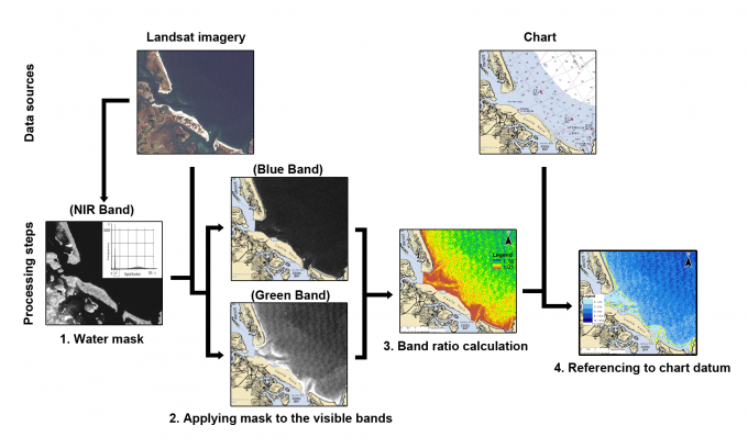
Coastal environments are some of the most dynamic and constantly changing regions of the globe. Monitoring and mapping these changes is critical to environmental studies and marine construction activities such as harbours, pipelines and other critical infrastructure in the coastal zone and shallow off-shore areas. Defining near-shore bathymetry is always problematic because vessel-based acoustic sounding (e.g. SBES & MBES) cannot operate close to the shore while collecting bathymetric depths. Recently, Satellite derived bathymetry (SDB) have emerged as a relatively new technique in hydrography. It allows us to create nautical charts and bathymetric maps of shallow waters and coastal regions from publicly available multispectral satellite imagery and published algorithms. The biggest advantage of this satellite remote sensing approach is to cover a big area against relatively low investment in terms of time and resources.

