Tides are the rise and fall of sea levels caused by the combined effects of the gravitational forces exerted by the Moon (and to a much lesser extent, the Sun) and are also caused by the Earth and Moon orbiting one another. Tidal phenomena are not limited to the oceans, but can occur in other systems whenever a gravitational field that varies in time and space is present.
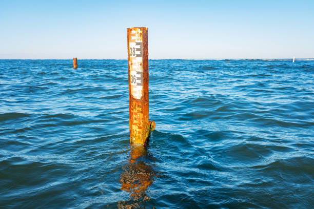
Tides vary on timescales ranging from hours to years due to a number of factors, which determine the lunitidal interval. To make accurate records, tide gauge at fixed stations measure water level over time. Gauges ignore variations caused by waves with periods shorter than minutes. These data are compared to the reference (or datum) level usually called mean sea level.
Precise determination of a “mean sea level” is difficult because of the many factors that affect sea level. Instantaneous sea level varies quite a lot on several scales of time and space. This is because the sea is in constant motion, affected by the tides, wind, atmospheric pressure, local gravitational differences, temperature, salinity, etc. The easiest way this may be calculated is by selecting a location and calculating the mean sea level at that point and using it as a datum. For example, a period of 19 years of hourly level observations may be averaged and used to determine the mean sea level at some measurement point.
