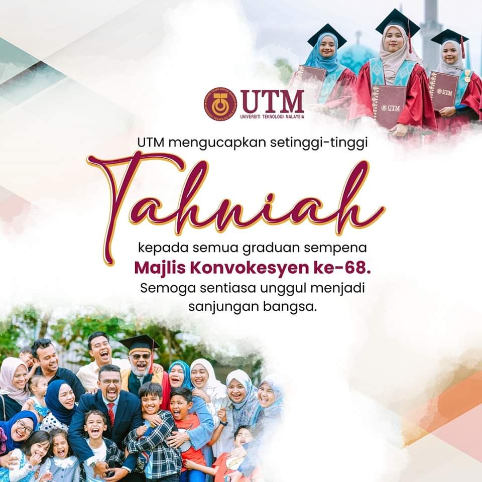
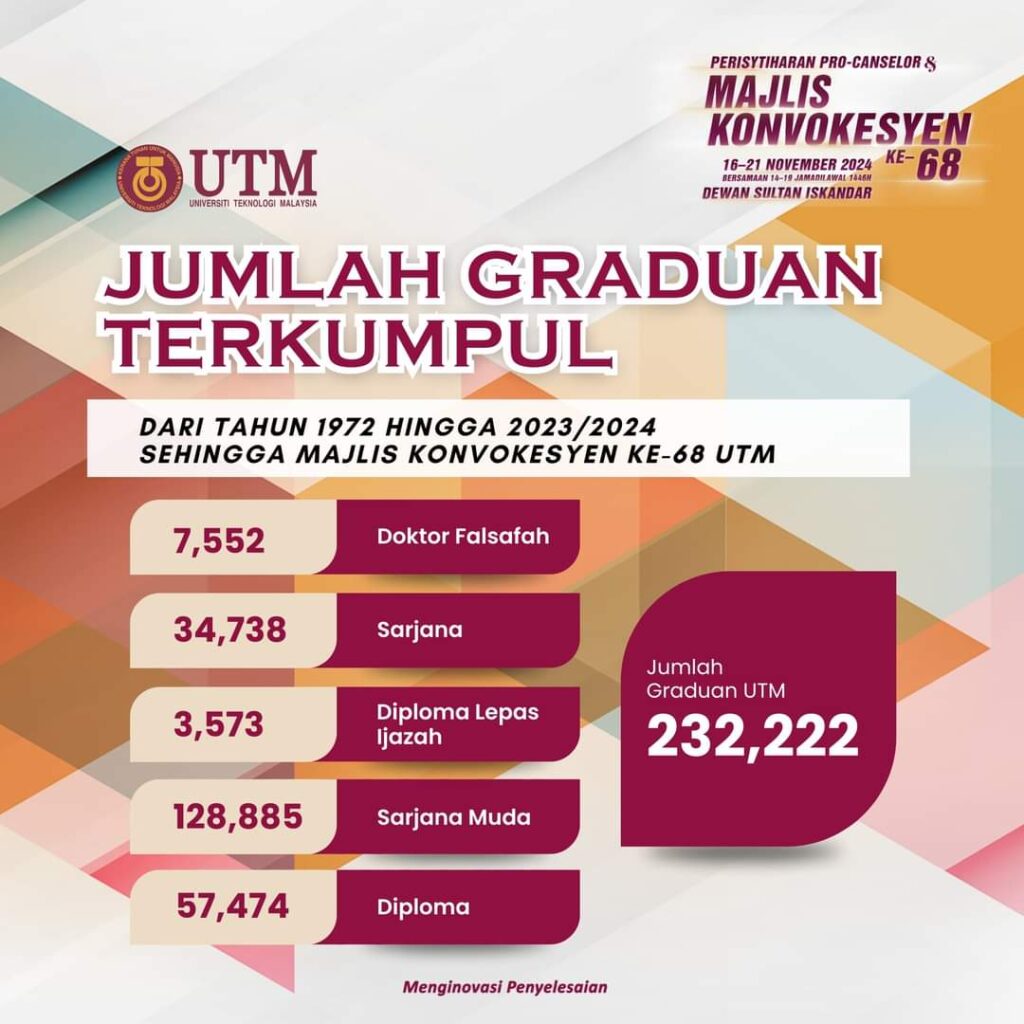
UTM dengan rasa bangga mengucapkan setinggi-tinggi tahniah kepada semua graduan sempena Majlis Konvokesyen Ke-68! 🌟
Hari ini adalah bukti kejayaan usaha gigih anda sepanjang perjalanan akademik. Kami mendoakan anda terus unggul menjadi sanjuangan bangsa dan mengharumkan nama Universiti Teknologi Malaysia ke serata dunia.
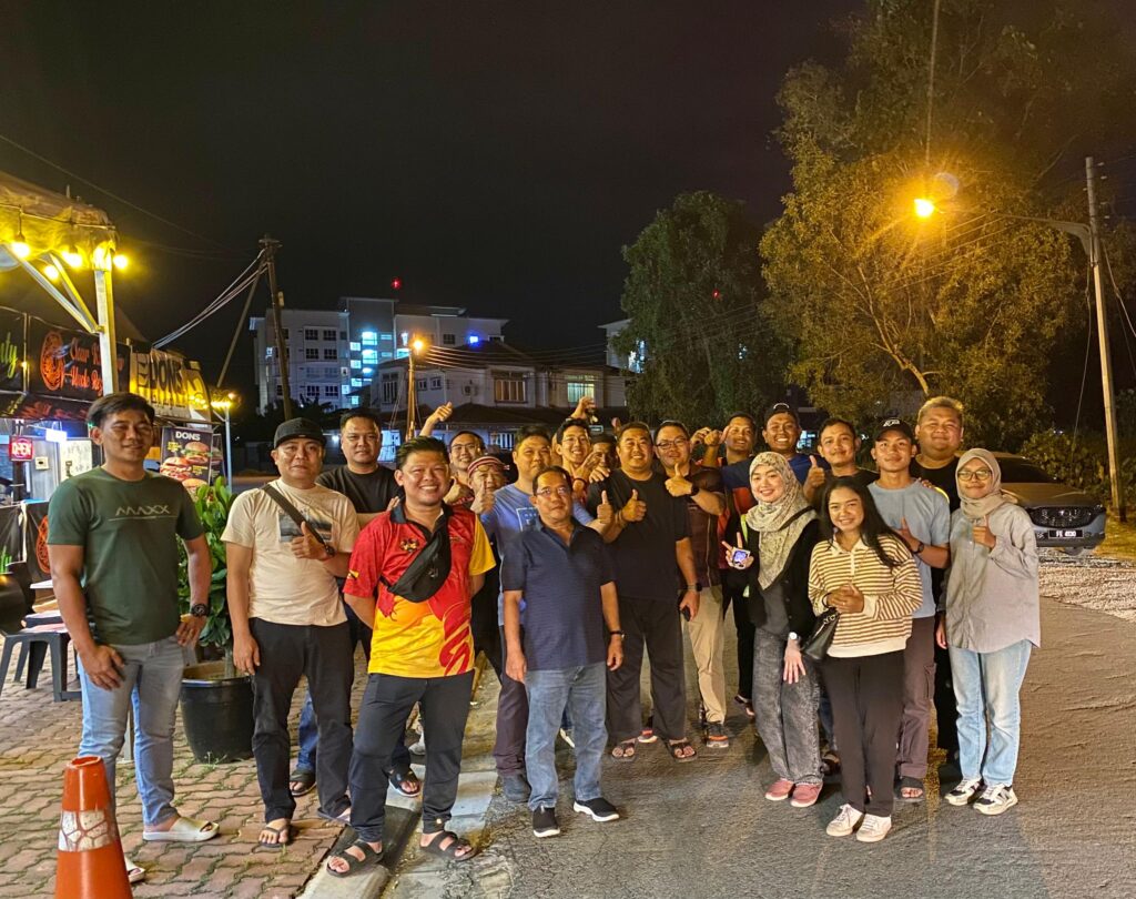
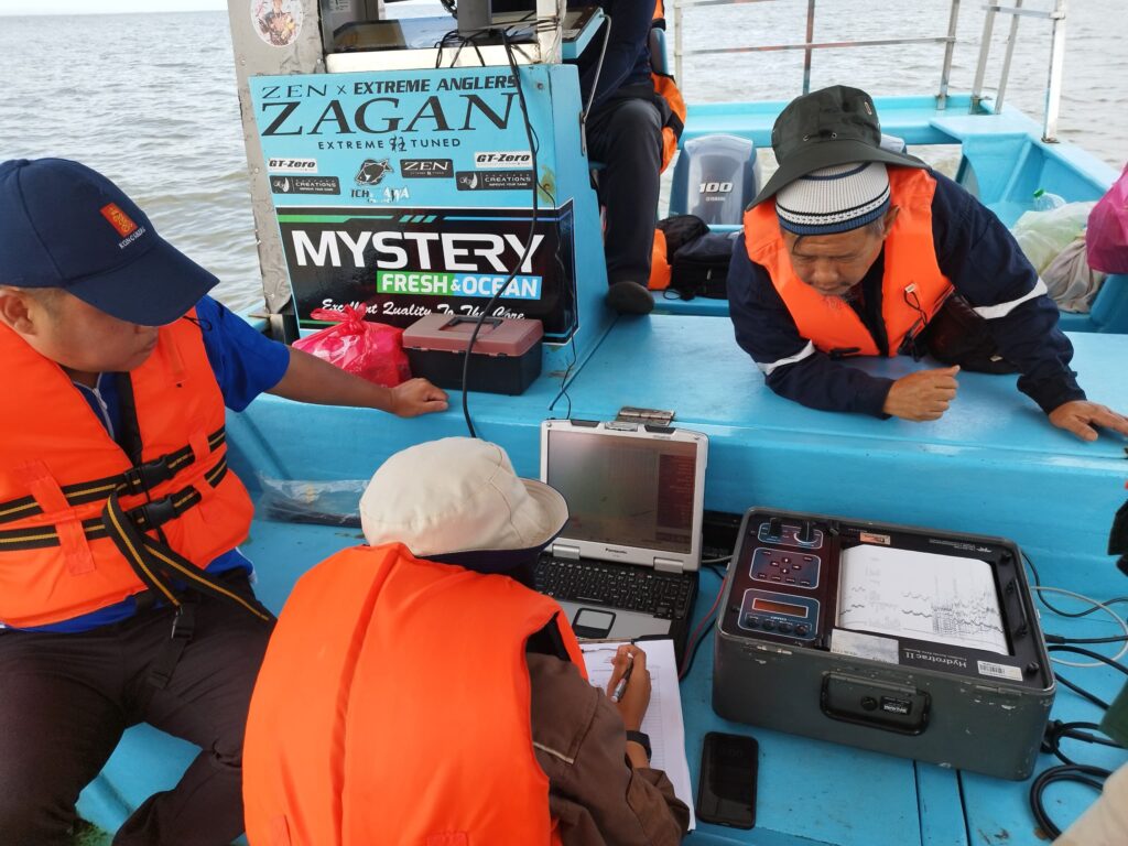
3-9 NOV 2024 | We would like to express our sincere gratitude to Jabatan Tanah and Survei Sarawak (JTS) for their invaluable support and tremendous effort in assisting our Marine Cadastre research project under the “Geran Kursi Premier Sarawak” led by Assoc. Prof. Sr Dr. Abdullah Hisam Omar, Director of ISI, UTM.
We truly appreciate all the hard work and time given by team members from JTS’s Kuching, Sri Aman and Bintulu and team members from GnG UTM as well as all participating parties. Without your strong support, this wonderful data acquisition session would not have been such a success neither in Batang Ai, Sri Aman nor Tanjung Batu, Bintulu.
May this research journey goes smoothly and be filled with fantastic discoveries and breakthroughs, and eventually brings significant benefits to the Sarawak state and country as a whole.
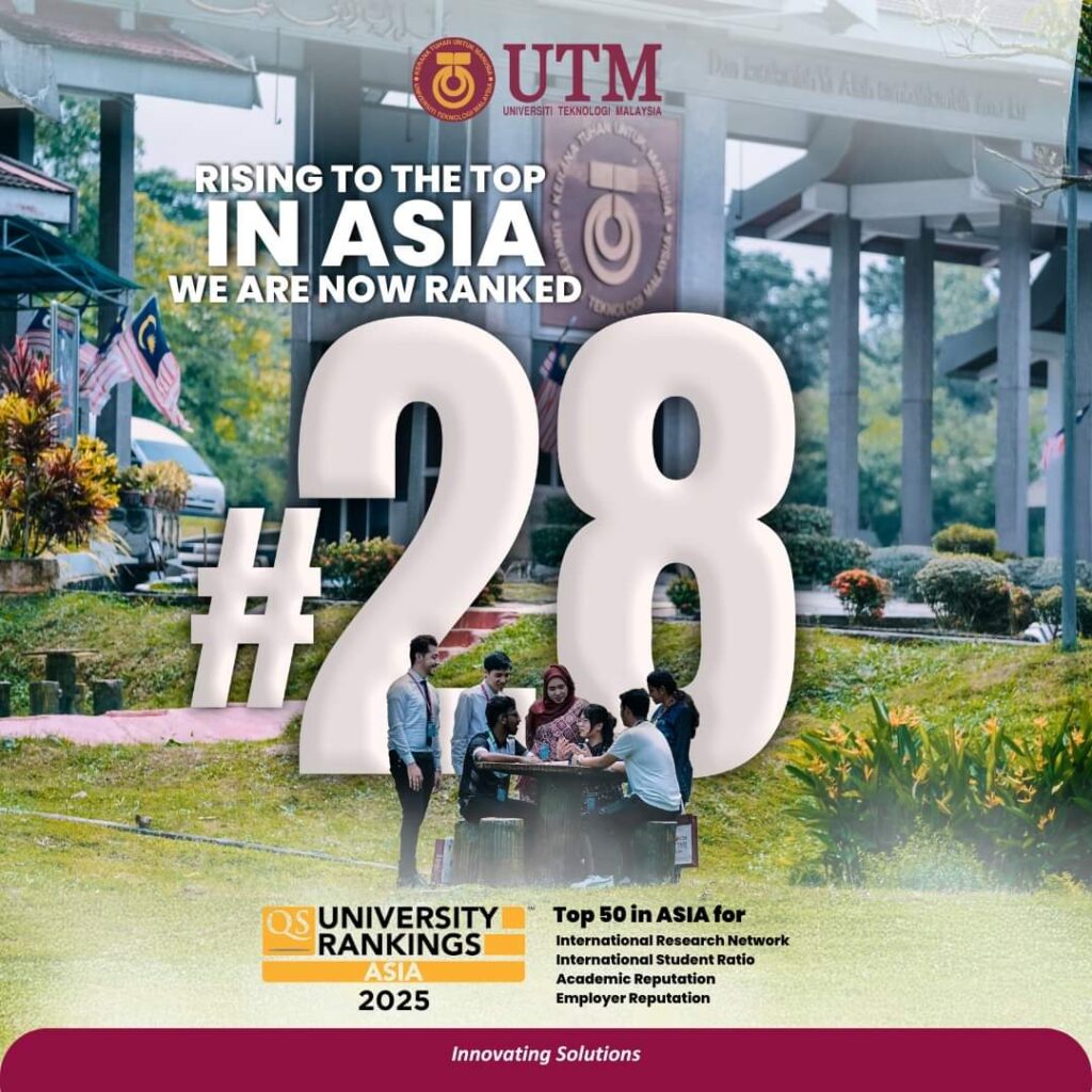
𝐔𝐓𝐌 𝐏𝐫𝐨𝐮𝐝𝐥𝐲 𝐑𝐢𝐬𝐢𝐧𝐠 𝐢𝐧 𝐀𝐬𝐢𝐚 🌏✨We are pleased to announce that Universiti Teknologi Malaysia (UTM) has climbed 9 spots in the 𝐐𝐒 𝐖𝐨𝐫𝐥𝐝 𝐔𝐧𝐢𝐯𝐞𝐫𝐬𝐢𝐭𝐲 𝐑𝐚𝐧𝐤𝐢𝐧𝐠𝐬: 𝐀𝐬𝐢𝐚 𝟐𝟎𝟐𝟓, reaching the #𝟐𝟖 𝐩𝐨𝐬𝐢𝐭𝐢𝐨𝐧! This achievement reflects our commitment to excellence in research, academic reputation, and nurturing talent both locally and globally. Our success is made possible by the dedication of UTM’s staff, students, alumni, and partners. Congratulations!