Hari Antidadah Kebangsaan (HADK) adalah acara tahunan yang disambut pada setiap 19 hari bulan Februari. Ia adalah bertujuan untuk mengingatkan masyarakat Malaysia dan mengukuhkan komitmen serta tanggungjawab semua pihak dalam menangani permasalahan dadah yang merupakan isu kesihatan dan keselamatan negara.
Agensi Antidadah Kebangsaan telah menasihatkan orang ramai supaya tidak terlibat dengan sebarang aktiviti berkaitan pemprosesan, pembekalan, penyeludupan, penjualan serta penagihan dadah. Jika anda atau orang yang anda kenali ingin menyertai program rawatan dan pemulihan dadah yang disediakan oleh pihak AADK, sila hadir ke pejabat AADK yang berhampiran atau hubungi talian Hotline AADK di 03-8911 2233 atau 019-626 2233. (Sumber: Facebook Kementerian Dalam Negeri)
Posted inUncategorized|Tagged#AADK, #HADK, #UTM|Comments Off on KEMPEN KESEDARAN HARI ANTI DADAH PERINGKAT KEBANGSAAN (HADK) 19 FEB 2024
Chinese New Year is a festival that celebrates the beginning of a new year on the traditional lunisolar Chinese calendar. Lunar New Year is spectacular, loud, and for many cultures across Asia the most important festival of the year. In many cultures, each year is also associated with an animal from the zodiac. Often the animals are the same across different Asian countries, including China, South Korea, North Korea, Singapore and Cambodia.
Because Chinese New Year is based on the lunar calendar, it occurs on a different date every year. The festival begins on the first day of the first lunar month in the calendar, and ends with the ‘Lantern Festival’ on the 15th day. In the year 2024, Chinese New Year is going to be observed from February 10 to February 15, with the Lantern Festival serving as the conclusion of the festivities.
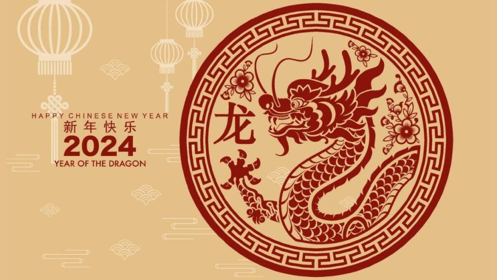
This coming year will be theYear of the Dragon (龙), which symbolizes power, strength, and good fortune. The Dragon, also known as Loong, is the fifth of the 12-year cycle of animals that appear in the Chinese zodiac related to the Chinese calendar. The Year of the Dragon is associated with the Earthly Branch symbol辰, pronounced ‘chen‘.
It has been proposed by one academic researcher that the Earthly Branch character may have been associated with scorpions; it may have symbolized the star Antares. In the Buddhist calendar used in Thailand, Cambodia, Laos, Myanmar, and Sri Lanka, the Dragon is replaced by the nāga. In the Gurung zodiac, the Dragon is replaced by the eagle. In the Old Turkic calendar, it is replaced by the fish or crocodile. Early Persian translations of the medieval period change the dragon to a sea serpent although in current times it is generally referred to as whale.