

Wishing all the students a happy semester break!
Hoping this break will ease everyone from deadlines and examinations. Come back next semester feeling refreshed.
Enjoy your time off to the fullest!
Wishing all the students a happy semester break!
Hoping this break will ease everyone from deadlines and examinations. Come back next semester feeling refreshed.
Enjoy your time off to the fullest!
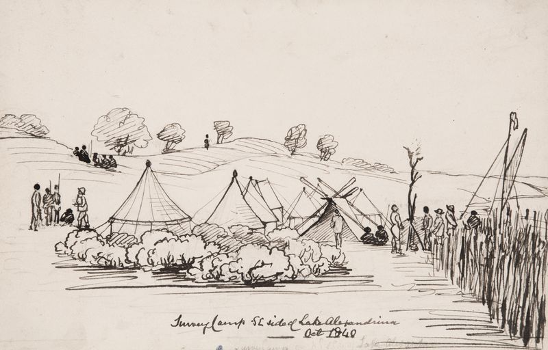
Survey Camp is a course that teaches both basic and advanced skills and practices, which are applied intensively over a certain period of time. Normally, it consists of at least 1-2 weeks working in the field and following another 3-5 days for data processing and finalized the survey report. In the survey camp, students will obtain extensive hands-on experience in the use of the conventional terrestrial surveying methods as well as assisted by the modernized GPS/GNSS, UAV/USV, Laser Scanner and GPR sensors in the essentials of survey practice. It is essential for Geomatics Engineering students to understand the difference between theoretical and practical work and the challenges that arise during fieldwork.
Each day in the survey camp, students are required to spend at least 8 hours of working in the field. Indeed, students are divided into groups; normally the incharge lecturer will appoint group leaders for each group; the leaders are responsible for all the works of his particular group and take good care of all the given survey equipments. Then, in the computer lab, students learn applications such as least square adjustment for GPS/GNSS control surveys, 3D land and topographic data processing, tidal processing and bathymetric depths processing, UAV data processing and generating contour, etc. The students use the dedicated software and program to transform the data collected from the field to topographic and bathymetric maps of the particular area. Thus, through this field practical survey, this gives the student confidence to work with good precision and accuracy in the future.

Artificial Intelligence has the potential to automate many tasks in the field of hydrographic surveying, but it is unlikely to completely replace human hydrographers in the near future.
Complex decisions – Hydrographic Surveying often requires complex decision-making and judgment, which may not be possible for AI to handle.
Human oversight – AI systems require human oversight and verification, as they can make errors or miss important details.
Legal requirements – In many jurisdictions, hydrographic surveying is regulated by law and requires professional certification, which AI systems cannot obtain.
Interpersonal skills – Hydrographic surveying often requires strong interpersonal skills to communicate with clients, contractors, and other stakeholders, which are difficult for AI to replicate.
While AI may be able to assist hydrographers in their work, it is unlikely to completely replace them in the near future. Instead, it is more likely that AI will be used to augment the capabilities of human surveyors, making their work more efficient and accurate.
