Bertempat di tanah perkuburan Islam Kangkar Pulai. Proses cerapan dibantu para pelajar dan staff daripada Jabatan Geomatik. Teknologi GPS terkini digunakan untuk cerapan yang lebih jitu.
AlatGPS yang digunakan:
Topcon HR: 3 set
Trimble Net r9: 2 set


Bertempat di tanah perkuburan Islam Kangkar Pulai. Proses cerapan dibantu para pelajar dan staff daripada Jabatan Geomatik. Teknologi GPS terkini digunakan untuk cerapan yang lebih jitu.
AlatGPS yang digunakan:
Topcon HR: 3 set
Trimble Net r9: 2 set

Date: 18-20/3 2019
Location: Pulai Spring, Skudai, Johor.


Date: 18/3/2019
Venue: PLANMalaysia Johor
Oppurtunity collaboration using GeoPUSARA Platform.


Date:13-15 March 2019
Location: MPHTJ, Melaka
On site experience will always can’t be similar as training. It’s a learning process.
Under a hot sun. Signal lost and running around searching drone’s signal were precious.


Date: 11-12 March 2019
Location: Sekolah Komputeran, UTM


Practical training on drone application for mapping.
Num of trainee: 5 (2nd Year students)
Site for training: Helipad, UTM
Purpose:


Cikgu yang terlebih excited. Sekian.
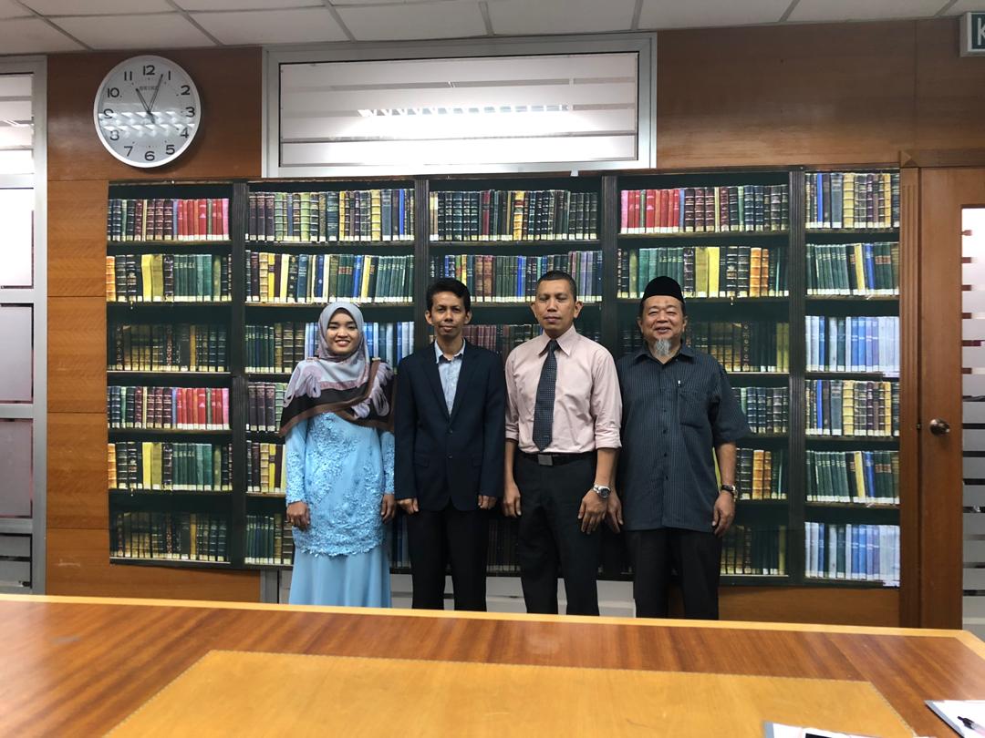
Candidate’s name: Nur Fatma Fadilah Yaacob
Title: Road Characteristics and Environmental Factors Associated with Accident Pattern in Kedah
Date: 7 Mac 2019
Location: FSPU, UiTM Shah Alam
Result: Minor correction.
Thank you so much for the constructive comments from both panel.


Site Visit Studio 1
Location: Taman Danau, Pulai, Johor
Date: 25th Feb 2019
Num of. participants: 46

Demo and briefing: Application of UAV in urban planning

Common fauna as claimed by local: ular tedung


Hot yo!!

Processed ortophoto overlay in Google Earth Pro.
Date: 9/2/2019 (10.00 am)
Location: Hutan Bandar MBIP
Instrument: DJI PHANTOM 3 Standard.


Data Collection first stage.
Date: 22/2/2019 (3.30pm)
Location: Tanah Perkuburan Islam Kangkar Pulai.
Instrument: DJI Phantom 3 Standard
Flight duration: 10 minutes.
Altitude: 120m, 60m
“Haii!!!!”

Beautiful!!
