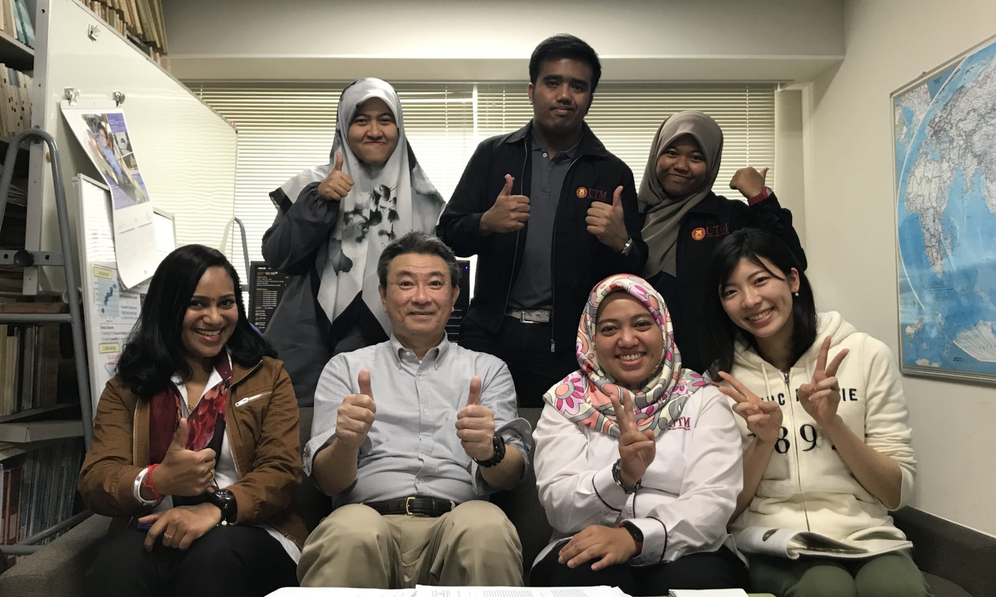
International conference : webinar with Chang’an University

#COVID-19#Work from home

Working from home does not stop from work and progress and research from moving forward.

In-fact, personally I feel it have been more fruitful with better time management. With regards of work, there are/ were many meetings, courses, talks organised online. Which makes one easy to attend: saving cost and Time on transportation. Plus it give the flexibility. Being at home “home-work’ is never ending.

International courses and conference have been made possible, with no reasons to not participate . As Reasonings are another form or excuses ( vani).

Herewith sharing the info of one of the key note presentation details, and conference held in Chang’an University, organised by Professor Pingping, which had more than 110 attendees on the first day. Was a great platform for me to share about my research method, findings and highlight to international arena. These 2 day’s online conference, held 5 keynote speakers, and 3 sessions for 2 days. The sequel of each keynote speakers having 3 sessions, enabled us to share more in details about our work, finding and the way forward.

Was a very fruitful meeting ( personal opinion) . Do drop me an email , or a comment below, if you would like to know the content of this conference. Keynote speakers from UTM includes: Prof Zulkifli, Dr. Nor Eliza and Myself.

Wish you all a pleasant day ahead. Thank you for the time and visiting this site.


Soil erosion in disturbed forests and agricultural plantations in tropical undulating terrain: in situ measurement using a laser erosion bridge method

Journal of Water and Climate Change jwc2019063.
The rapid growth of agricultural plantations and climatic extremes has raised concerns pertaining to enhanced soil erosion. Soil erosion studies are still relatively limited in Malaysia. In this study, soil erosion in four sites such as high conservation value forests (HCVFs), logged forest (LF), mature oil palm (MOP), and mature rubber (MR) within the Kelantan River Basin was measured. A total of 3,207 measurements were conducted via the Modified Laser Erosion Bridge in all sites over 1 year. Results of soil erosion are 87.63, 25.45, 8.44, and 5.90 t ha−1 yr−1 for the HCVF, LF, MOP and MR, respectively – classified as very severe (HCVF), very high (LF), moderate (MP) and slight (MR) according to the Indian condition classification. Steep slope gradient (significant positive correlation to erosion) and logging are the main factors attributed to the high erosion rates. This is to be further explored in the future and more detailed studies should be conducted on the HCVF and LF areas, respectively. Mitigation measures and sustainable agricultural practices should be planned to control and reduce soil erosion.

Sediment clues in flood mitigation: the key to determining the origin, transport, and degree of heavy metal contamination


This study seeks to identify sediment sources, quantify erosion rates, and assess water quality status via sediment fingerprinting, the Modified Laser Erosion Bridge (MLEB) method, and various pollution indices (PIs), respectively, in the humid tropics (Malaysia). Geochemical elements were used as tracers in sediment fingerprinting. Erosion rates were measured at 3,241 points that encompass high conservation value forests (HCVFs); logged forests (LFs); mature oil palm (MOP); and mature rubber (MR) plantations. Annual erosion rates were 63.26–84.44, 42.38, 43.76–84.40, and 5.92–59.32 t ha−1 yr−1 in the HCVF, LF, MOP, and MR, respectively. Via sediment fingerprinting, logging and agricultural plantations were identified as the major contributors of the sediment. PIs also indicated the highest level of pollution in those catchments. This study highlighted three main messages: (i) the feasibility and applicability of the multiproxy sediment fingerprinting approach in identifying disaster-prone areas; (ii) the MLEB as a reliable and accurate method for monitoring erosion rates within forested and cultivated landscapes; and (iii) the adaptation of PIs in providing information regarding the status of river water quality without additional laboratory analyses. The combination of these approaches aids in identifying high-risk and disaster-prone areas for the prioritisation of preventive measures in the tropics.
Full paper available for download :