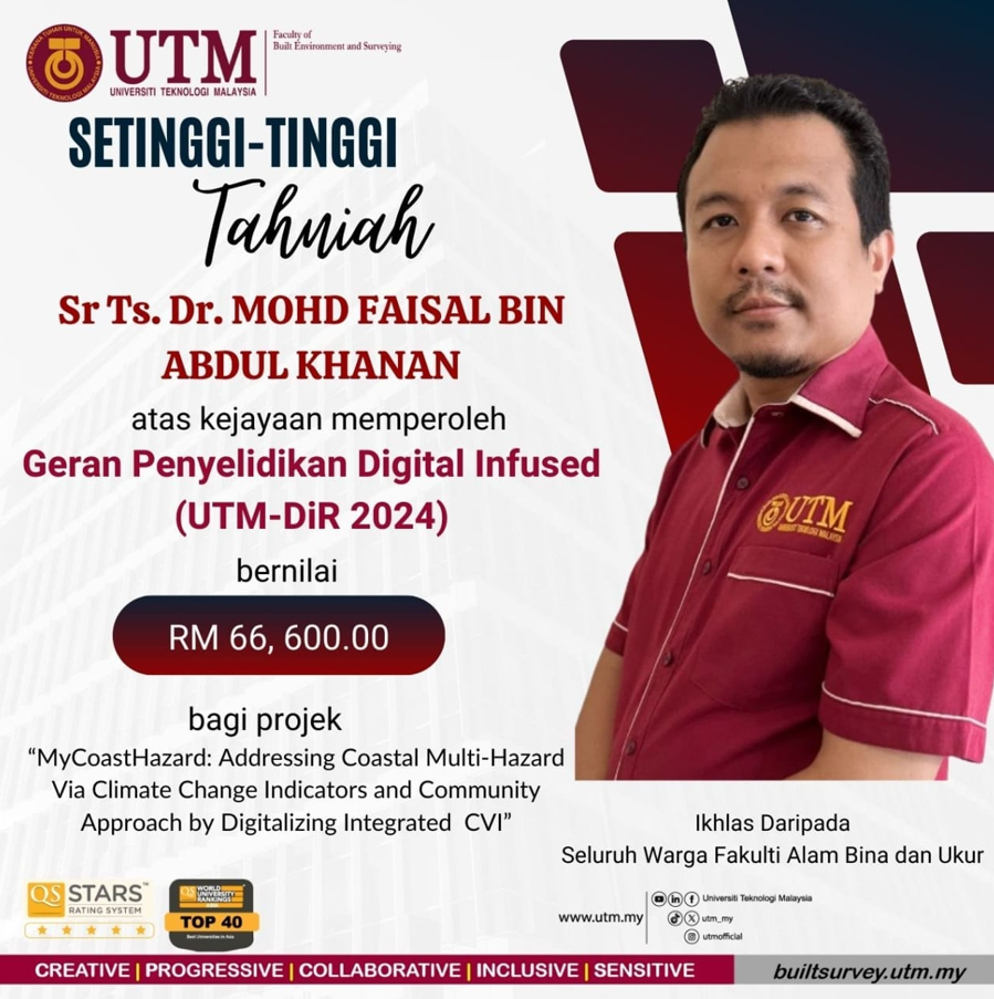
This grant aims to digitalised the initiative of coastal multi-hazard, in particular tsunami, by developing an open-source processing plugin for the CVI map.
This grant aims to digitalised the initiative of coastal multi-hazard, in particular tsunami, by developing an open-source processing plugin for the CVI map.
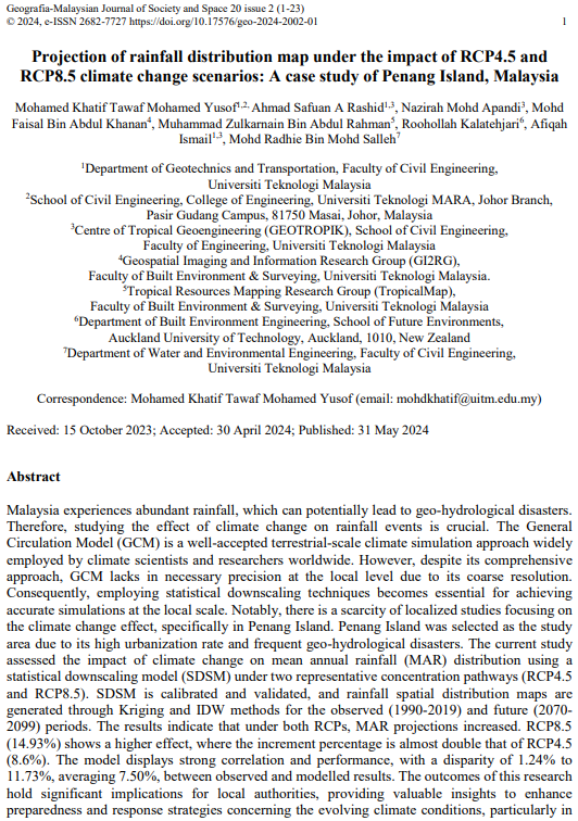
An article by Mohamed Khatif Tawaf Bin Mohamed Yusof, also the correspondence. Co authored by PM Ir Ts Dr Ahmad Safuan A. Rashid FKA (main-SV), Dr Nazirah Mohd Apandi UITM, me myself, PM Dr Muhammad Zulkarnain Abd Rahman FABU, Dr Roohollah Kalatehjari AUT, Afiqah Ismail PhD candidate FKA and Dr Mohd Radhie Mohd Salleh FKA. Published in Geografia – Malaysian Journal of Society & Space, WoS-indexed, Quartile 3, impact factor 0.4. https://ejournal.ukm.my/gmjss/article/view/67540
Khatif started his PhD journey in UTM in 2020 doing Civil Engineering. He is currently a lecturer at UITM Pasir Gudang, Johor.
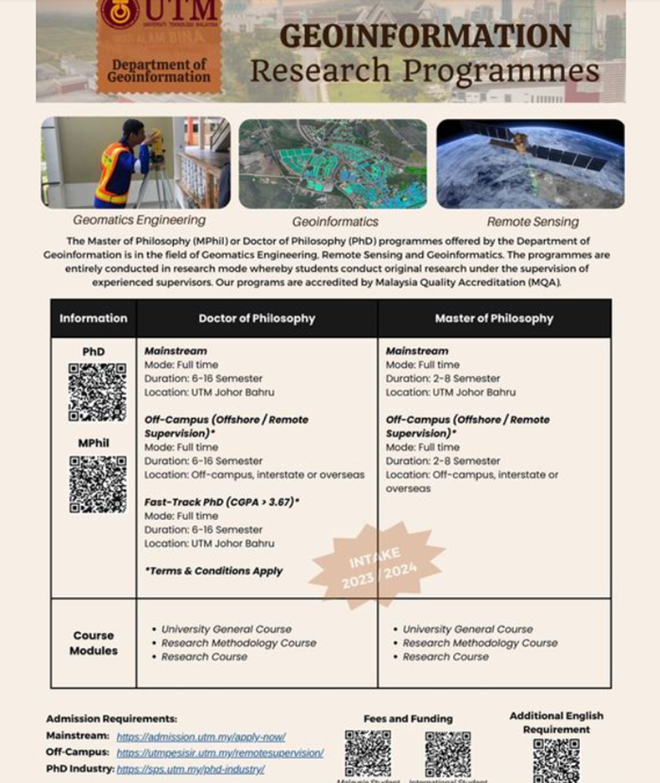
Discover the opportunity to join our cutting-edge postgraduate program, meticulously crafted for those eager to delve into fully research. Ready to take your academic journey to the next level?”
Access more information here: https://builtsurvey.utm.my/academic/doctorate-programmes/ and here: https://builtsurvey.utm.my/academic/master-of-philosophy/.
Source: FB page Geoinformation UTM
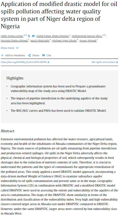
An article by Dr Hafiz Aminu Umar, also the correspondence. Co authored by me myself, Sanusi Shiru, Murtala Shehu Ahmed, Jazuli Abdullahi, Michael Ajeni Obute and Prof Anuar Ahmad FABU UTM. Published in Journal of Hydrology, WoS-indexed, Quartile 1, impact factor 5.9. https://www.sciencedirect.com/science/article/abs/pii/S0022169424008412

An article by Dr Hafiz Aminu Umar, also the correspondence. Co authored by me, myself, Sanusi Shiru, Prof Anuar Ahmad FABU UTM, PM Dr Zulkarnain Abd Rahman FABU, PM Dr Ami Hassan Md Din FABU. Published in Environmental Science and Pollution Research, WoS-indexed, impact factor 5.19. https://link.springer.com/article/10.1007/s11356-023-25144-z
Dr Hafiz started his journey in UTM in 2015 doing M.Sc (Geoinformatics). I taught him the Geospatial Database course. He was then awarded the prestigious Petroleum Technological Development Fund (PTDF) from Nigeria to pursue his PhD. The fund was intended for him to pursue his PhD in the western countries. Instead, UTM was chosen by him. ALhamdulillah I am so glad with the choices he made, proving that UTM is competent against the western higher learning institutes. He manages to GoT. Now he is the lecturer at The Federal University Dutse in Nigeria.

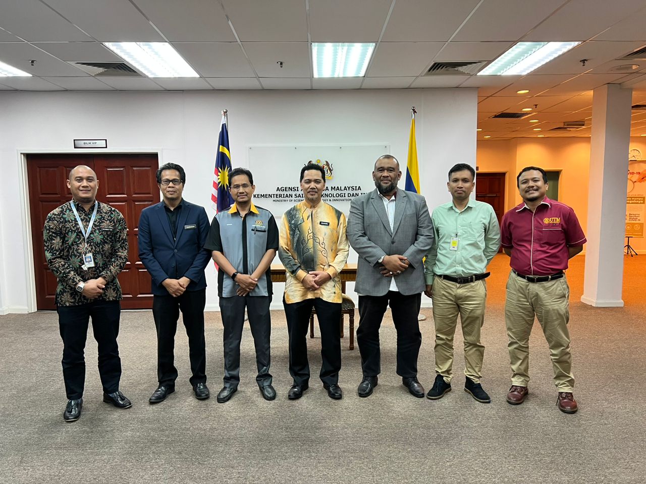


On Oct 22, three representatives from UTM FABU headed by Dr Imzan Hassan, Mr Wan Hazli Wan Kadir and me, myself went to MySA in KL for an engagement meeting. Chairing the meeting is Mr Azlikamil Napiah, the Director General himself. We discussed some way forward for both UTM FABU and MySA to foster more research and project in the field of GIS and Remote Sensing.
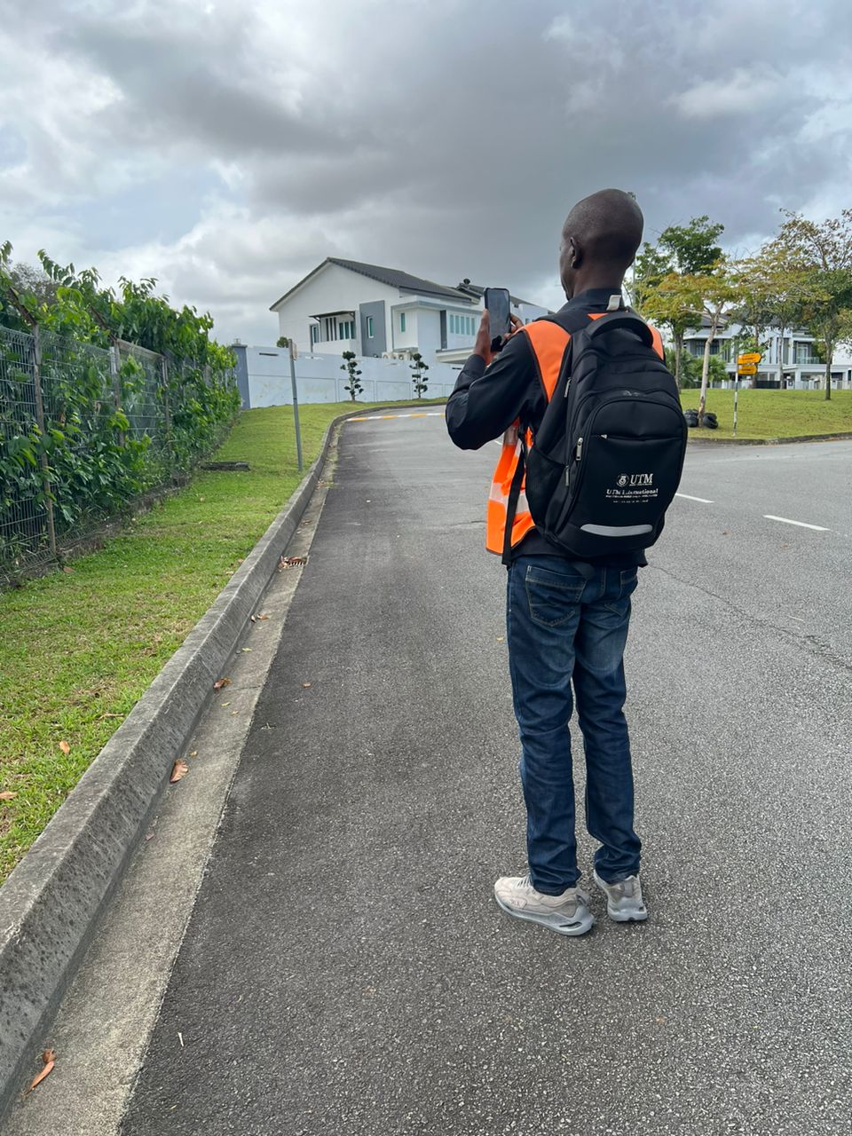
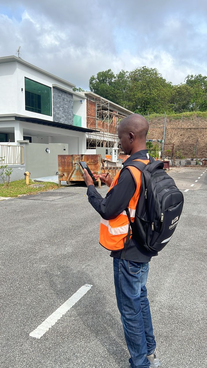
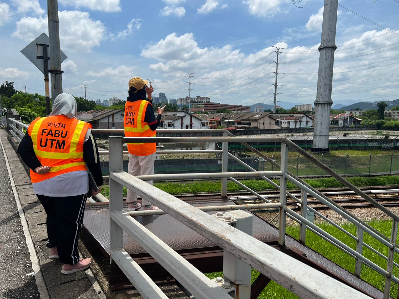
On Jan 23, I accompanied Umar for capturing the landslide vulnerability data of physical infrastructures around Sireh Park, JB and its surrounding areas. Sireh Park is thought to be the largest urban park in Malaysia and few incidents of landslides and slope failure are really alarming. This is due to the availability of a lot of houses and roads around Sireh Park. Alhamdulillah, the findings of this study is conveyed to the SIreh Park authority for further consideration.
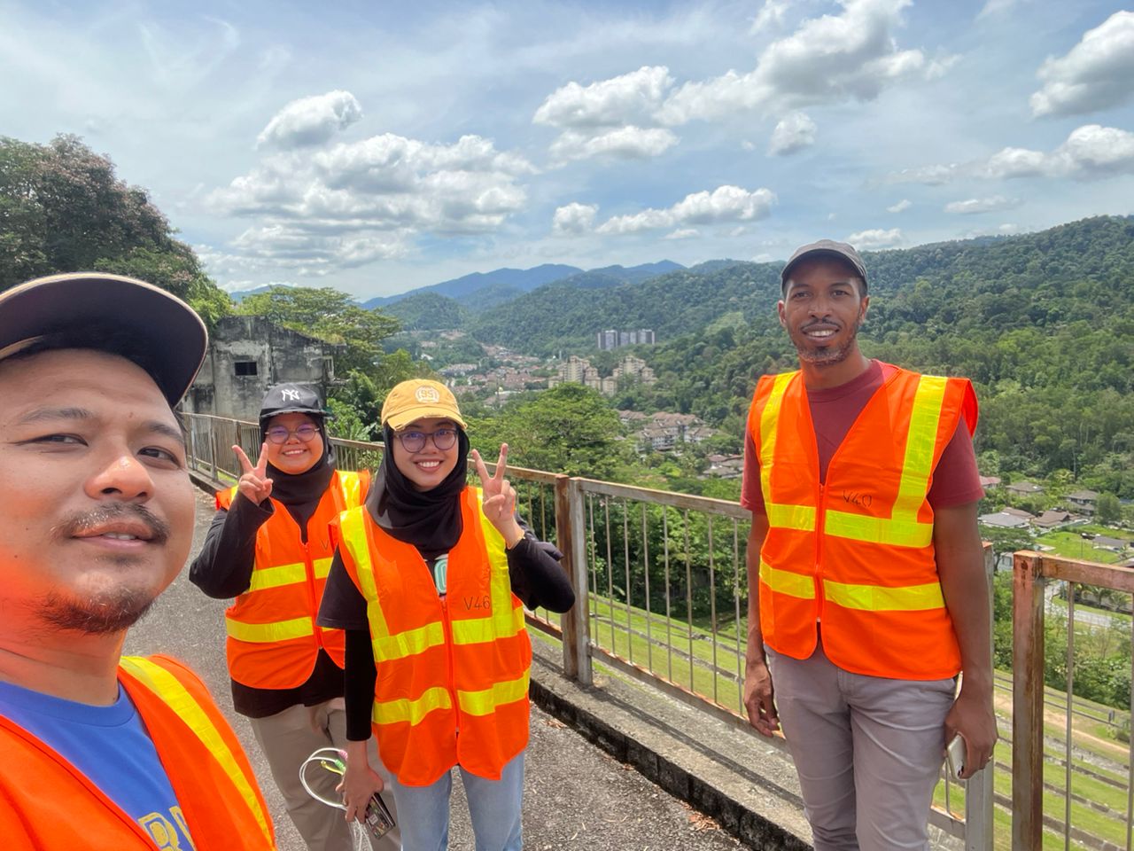
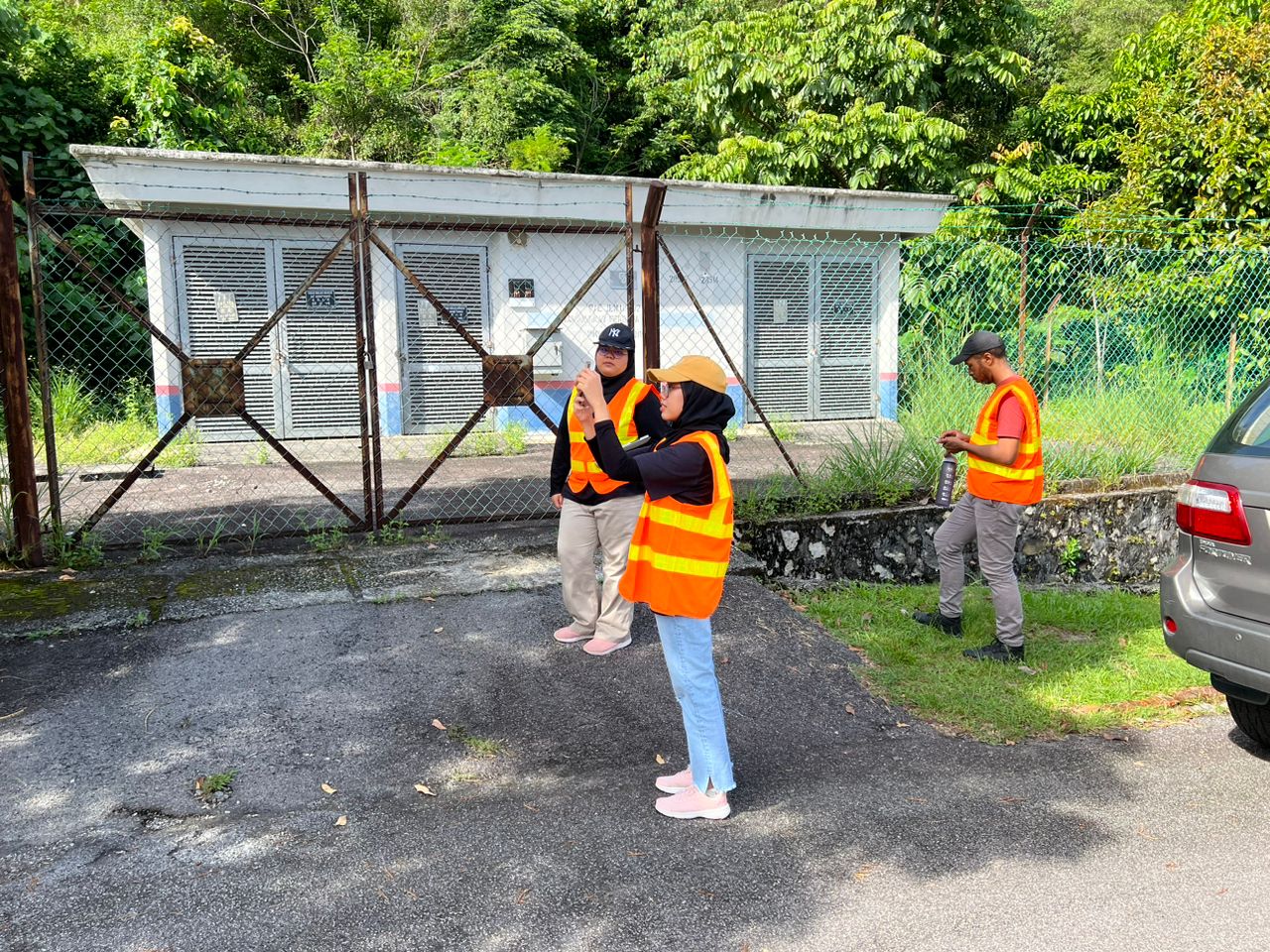
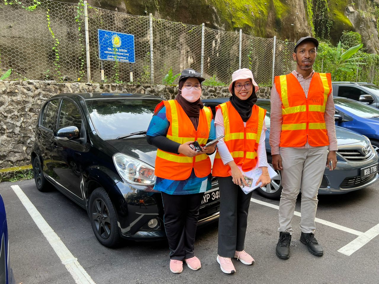
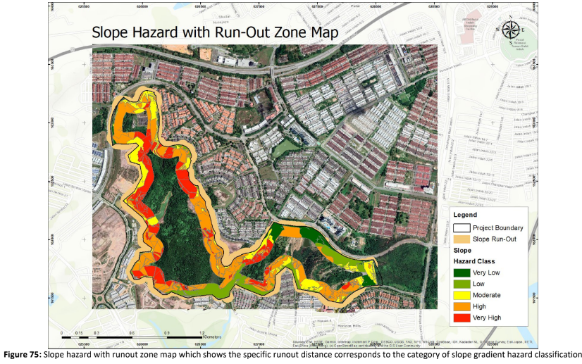
Amos is doing something on landslide hazard while Intan is focusing on landslide vulnerability towards TNB’s assets.


