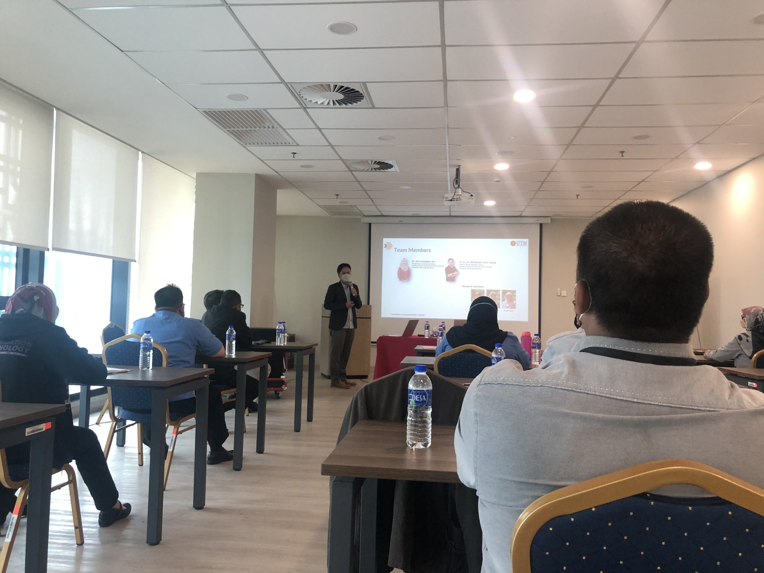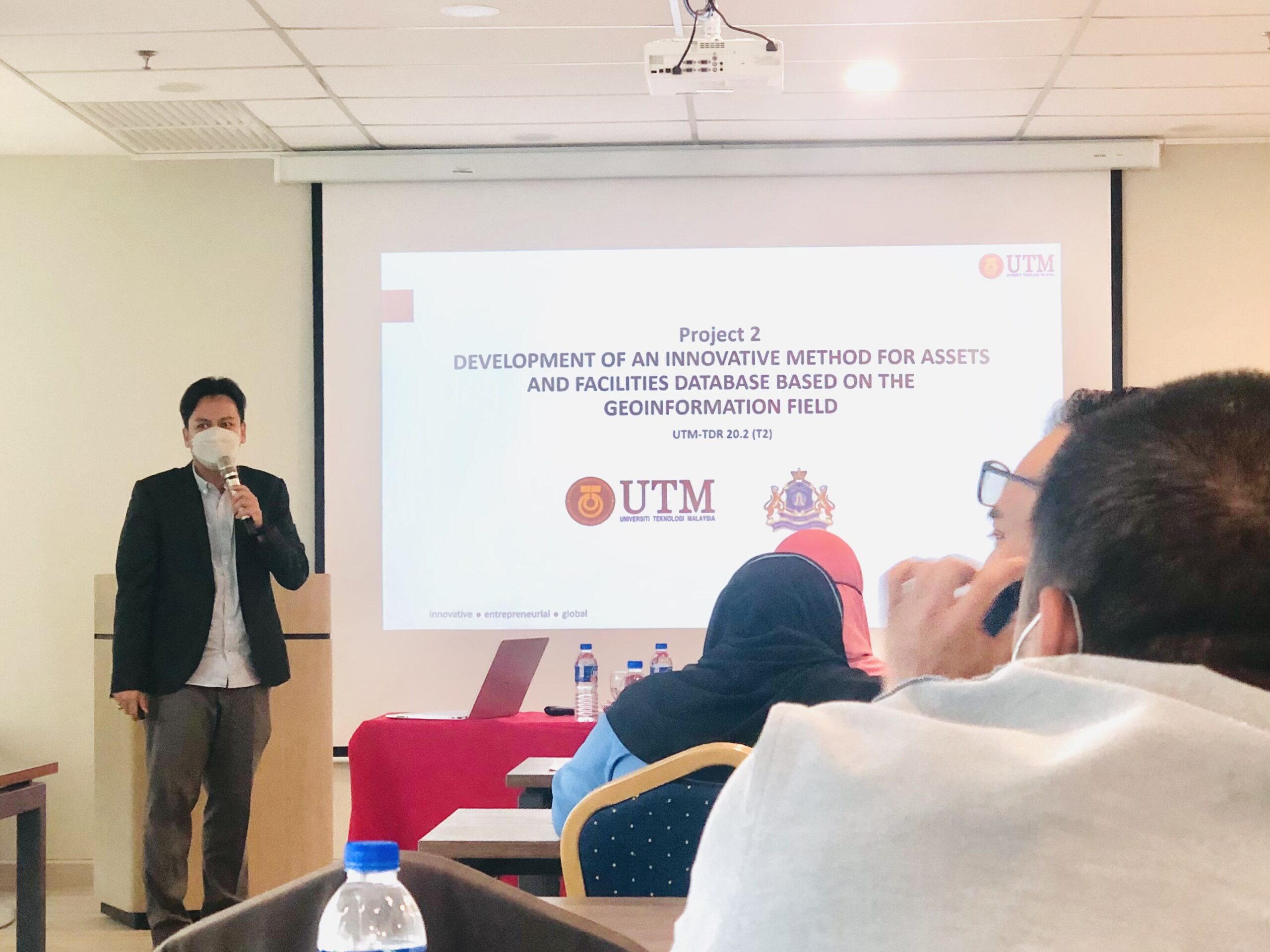
3D GIS TECHNOLOGY TRANSFER TO CITY COUNCIL
Convey some knowledge in the technology transfer program to the Johor Bahru City Council. I’ve managed to explain to them how the 3D GIS system developed can help the council’s immovable asset management process. The system is developed in accordance with national level management procedures.
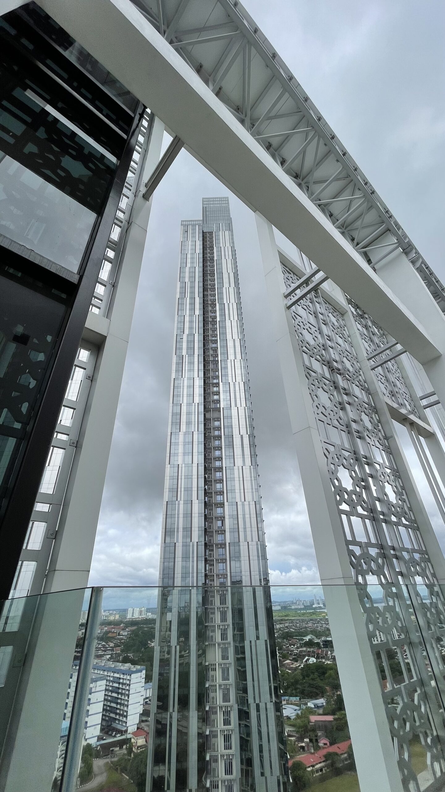
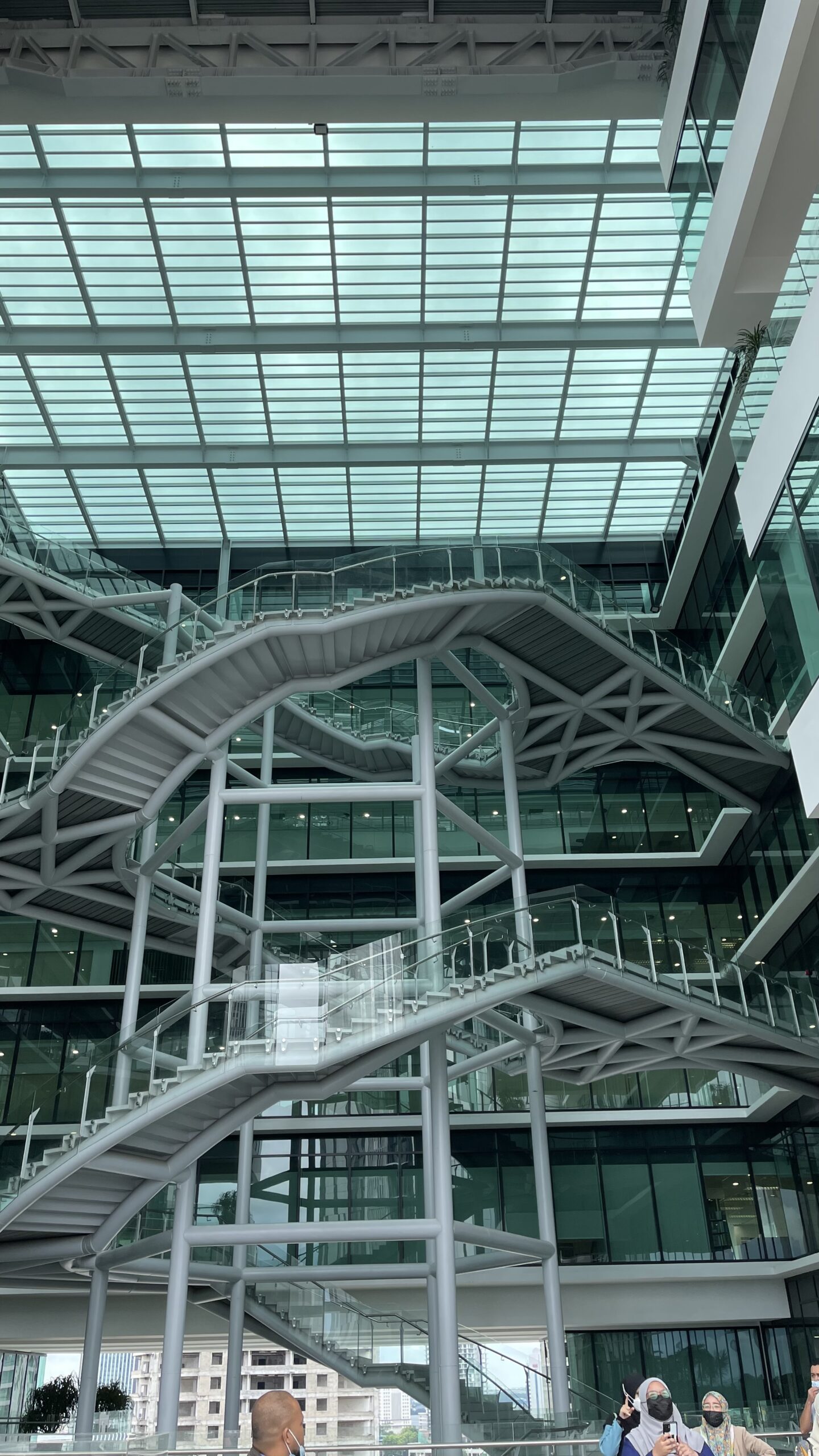
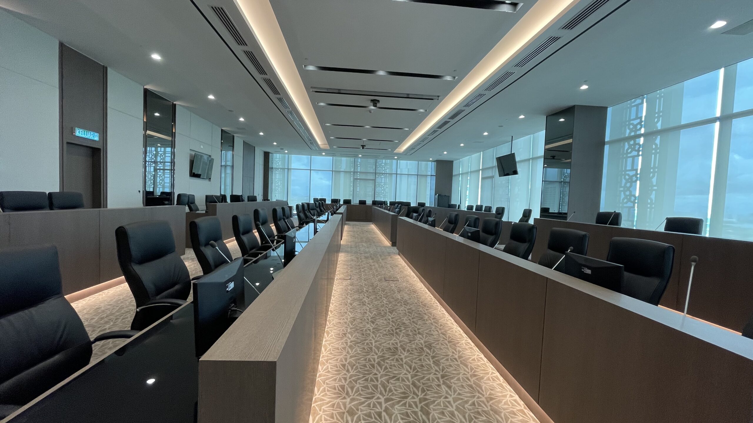
Shortly after that, I had the privilege for private tour of the newly MBJB building in Bukit Senyum. A comprehensive tour of almost every floor up to the main control room, provided by the MBJB staff themselves. MBJB’s new building is still operating according to the set SOPs.
I could not participate the workshop until the discussion in the afternoon due to there were other urgent meetings that needed to be attended. Hopefully the knowledge gained can be utilized by the MBJB.
#MBJB #JohorBahru #AssetManagement #research #3dgis #AsetTakAlih #TPATA #MYSPATA #3DModelling #spatial #technology #management #building