UNRAVELING 3D TERRAIN COMPLEXITY IN SPATIAL INTERPOLATION METHODS FOR TRAFFIC NOISE MAPPING
Our latest paper in Geodesy and Cartography!
This study evaluates the performance of spatial interpolations for traffic noise mapping on undulating and level 3D terrain. Published in the Web of Science indexed journal (Q4), this research adds valuable insights to the field.
Feel free to read the paper via this link: https://journals.vilniustech.lt/index.php/GAC/article/view/18751
EXCITING INVITATION FROM THE NATIONAL UNIVERSITY OF SINGAPORE (NUS)
Delighted to announce an exhilarating opportunity from the National University of Singapore (NUS)! The NUS Urban Analytics Lab has graciously invited me to explore collaboration avenues in geospatial and urban data science within Southeast Asia.
Being recognized as a research leader in these domains is truly humbling, and I am eager to contribute to this joint venture. Together, our combined expertise and varied perspectives hold the potential to drive meaningful change in our communities and propel urban data science forward.
Excited about the prospect of partnering with NUS and esteemed institutions across Southeast Asia, let’s embark on this collaborative journey and ignite innovation!
NEW BOOK – ADVANCES IN GEOINFORMATICS TECHNOLOGIES
Dear Colleagues/Researchers,
I am excited to announce the publication of a new book titled “Advances in Geoinformatics Technologies: Facilities and Utilities Optimization and Management for Smart City Applications” by Springer.
This comprehensive work features 22 chapters contributed by 65 authors from over 15 different universities/agencies across 4 countries.
Book Details:
Title: Advances in Geoinformatics Technologies
Subtitle: Facilities and Utilities Optimization and Management for Smart City Applications
Series Title: Earth and Environmental Sciences Library
Spanning 434 pages, the book explores into cutting-edge advancements in geoinformatics technologies and their applications in optimizing and managing facilities and utilities for smart cities.
Please feel free to share this exciting news within your networks and communities. This collective work will make a significant contribution to the field of geoinformatics and smart city applications.
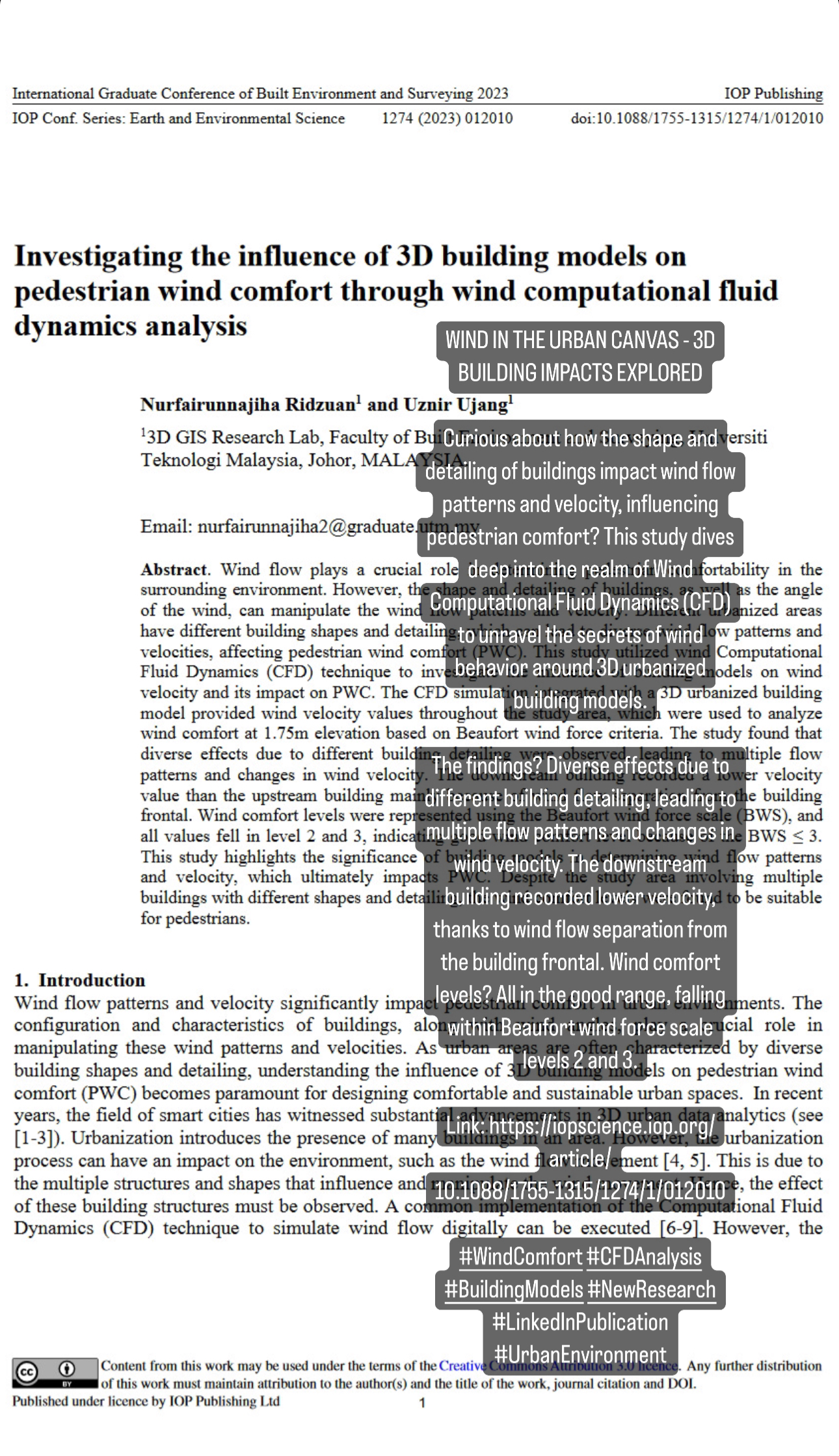
WIND IN THE URBAN CANVAS – 3D BUILDING IMPACTS EXPLORED
Exciting News! Just published my latest research on “Investigating the Influence of 3D Building Models on Pedestrian Wind Comfort through Wind Computational Fluid Dynamics Analysis”!
Curious about how the shape and detailing of buildings impact wind flow patterns and velocity, influencing pedestrian comfort? This study dives deep into the realm of Wind Computational Fluid Dynamics (CFD) to unravel the secrets of wind behavior around 3D urbanized building models.
The findings? Diverse effects due to different building detailing, leading to multiple flow patterns and changes in wind velocity. The downstream building recorded lower velocity, thanks to wind flow separation from the building frontal. Wind comfort levels? All in the good range, falling within Beaufort wind force scale levels 2 and 3.
This research underscores the crucial role of building models in shaping wind flow patterns and velocity, ultimately impacting Pedestrian Wind Comfort. Despite varied building shapes and detailing, the wind comfort levels were suitable for pedestrians.
Ready to explore the dynamics of wind and buildings? Swipe through my publication for an in-depth look!
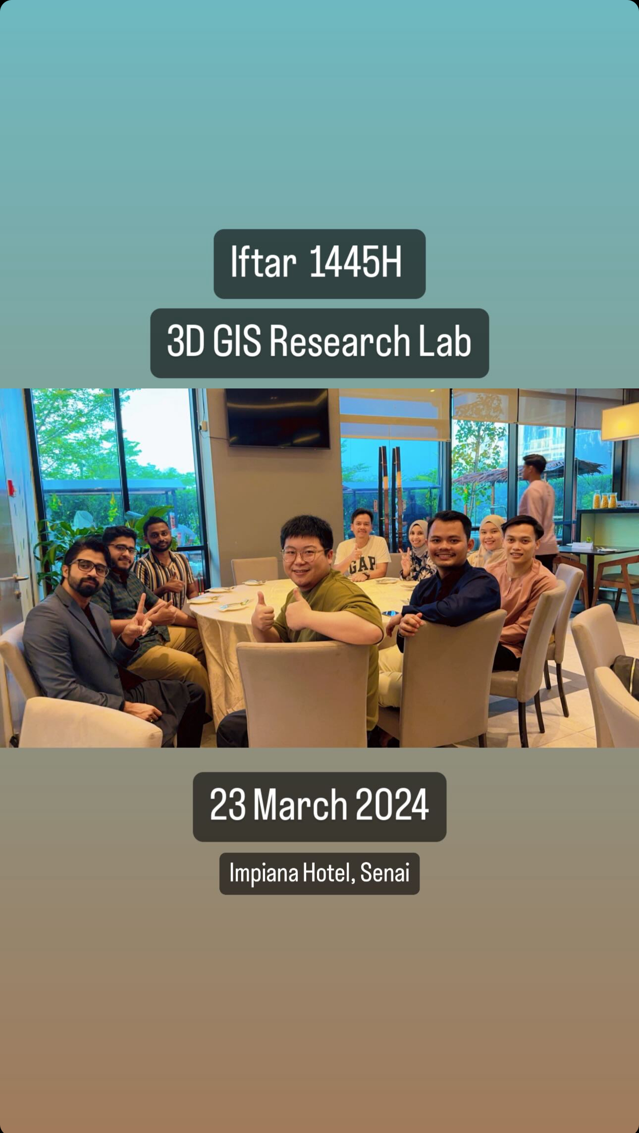
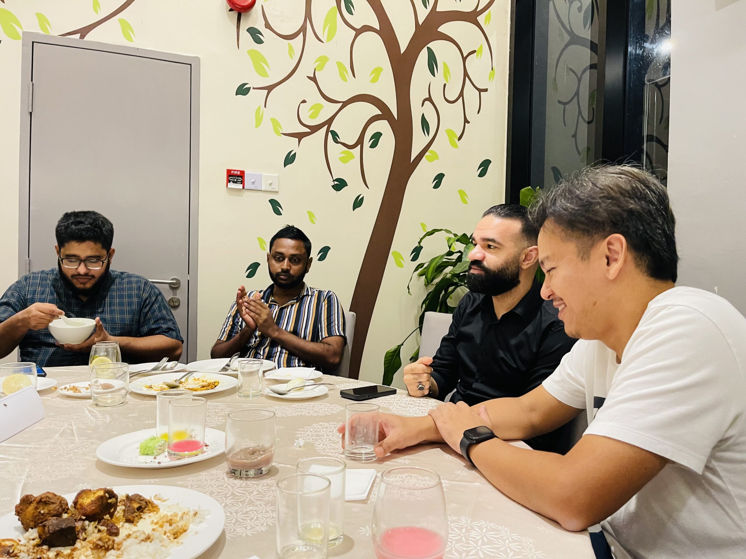
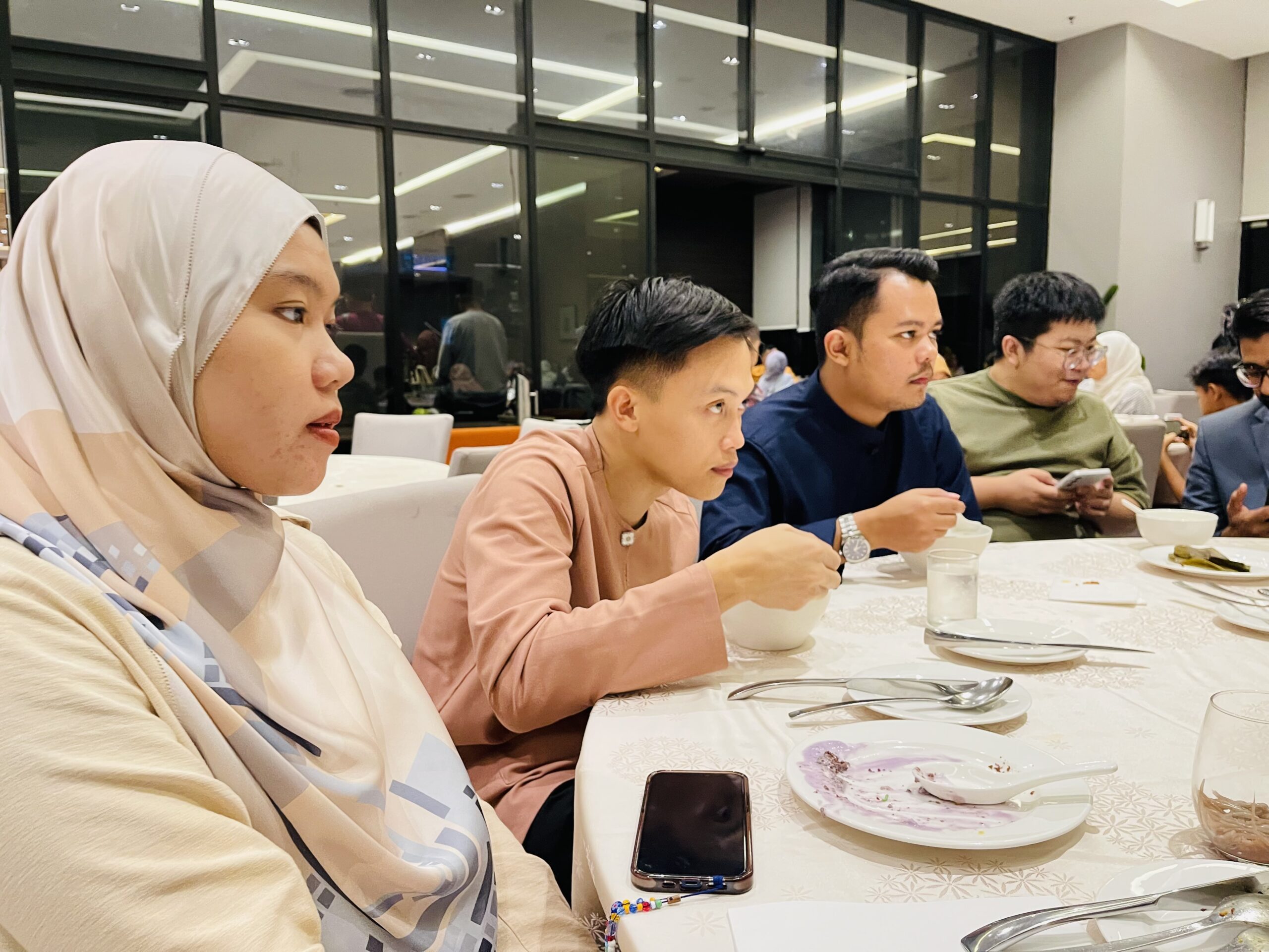
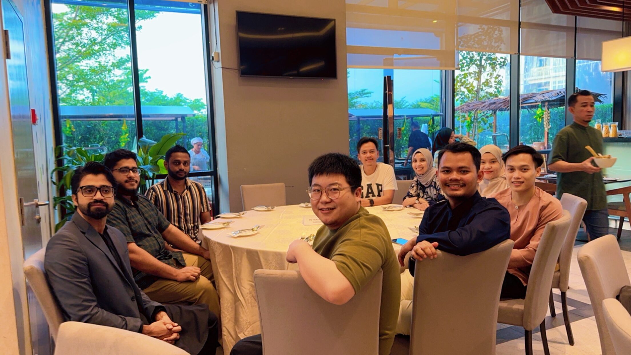
Had an amazing iftar session treat today with my postgraduate students and postdoc at Impiana Hotel Senai. It was a wonderful opportunity to bond over delicious food and meaningful conversations. Truly appreciated being able to share this special moment! Thank you for making it such a memorable evening. #RamadanGathering #IftarSession #ImpianaHotelSenai
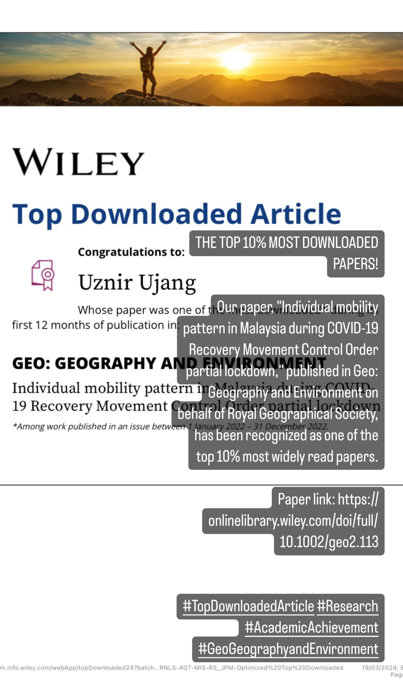
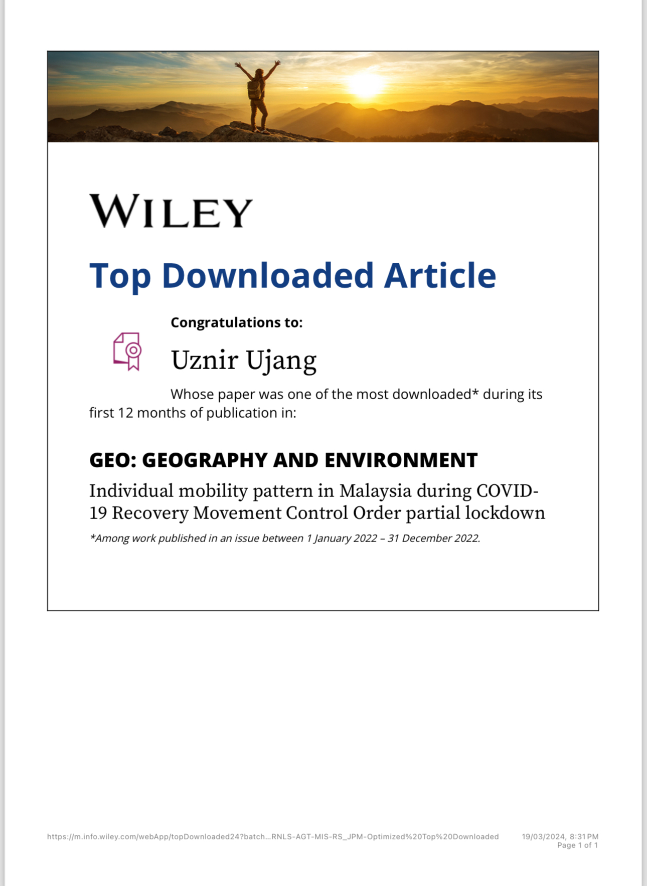
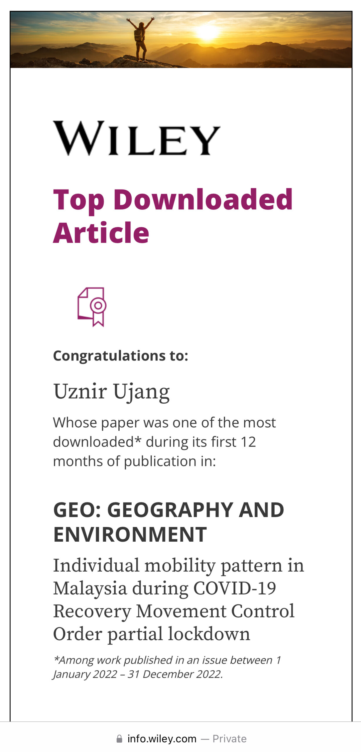
Our paper, “Individual mobility pattern in Malaysia during COVID-19 Recovery Movement Control Order partial lockdown,” published in Geo: Geography and Environment on behalf of Royal Geographical Society, has been recognized as one of the top 10% most widely read papers!
I’m truly grateful for this acknowledgment of our work within the community. Thank you to everyone who has supported and engaged with our research.
Paper link: https://onlinelibrary.wiley.com/doi/full/10.1002/geo2.113
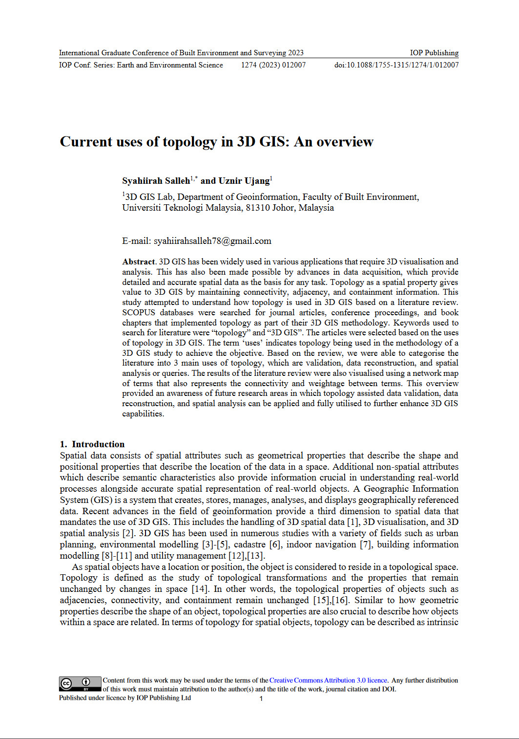
THE MAGIC OF TOPOLOGY: CURRENT APPLICATIONS IN 3D GIS
Exciting News! Just unveiled our latest research on “Current Uses of Topology in 3D GIS: An Overview”!
Dive into the world of 3D GIS and discover how topology plays a crucial role in shaping the landscape of spatial data! Advances in data acquisition have paved the way for detailed and accurate information, and topology adds the magic touch by maintaining connectivity, adjacency, and containment.
Curious about the findings? We scoured SCOPUS databases for literature that delves into the marriage of “topology” and “3D GIS.” The result? A categorization of three main uses of topology: validation, data reconstruction, and spatial analysis/queries.
But that’s not all – We visualized the literature review using a network map, unveiling the connectivity and weightage between terms. Ready to explore the future of 3D GIS? Swipe through our publication for a captivating journey into the uses of topology!
Your insights and discussions are invaluable! Let’s shape the future of spatial analysis together!
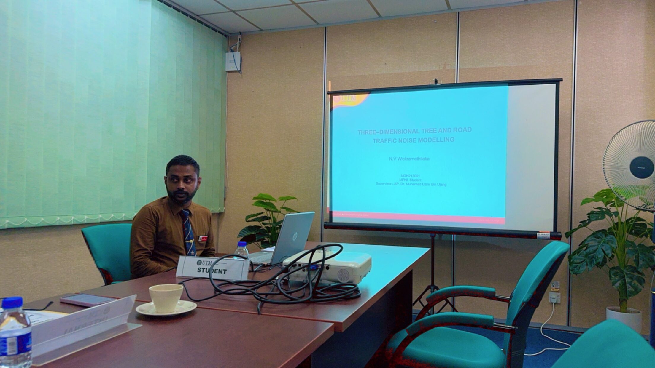
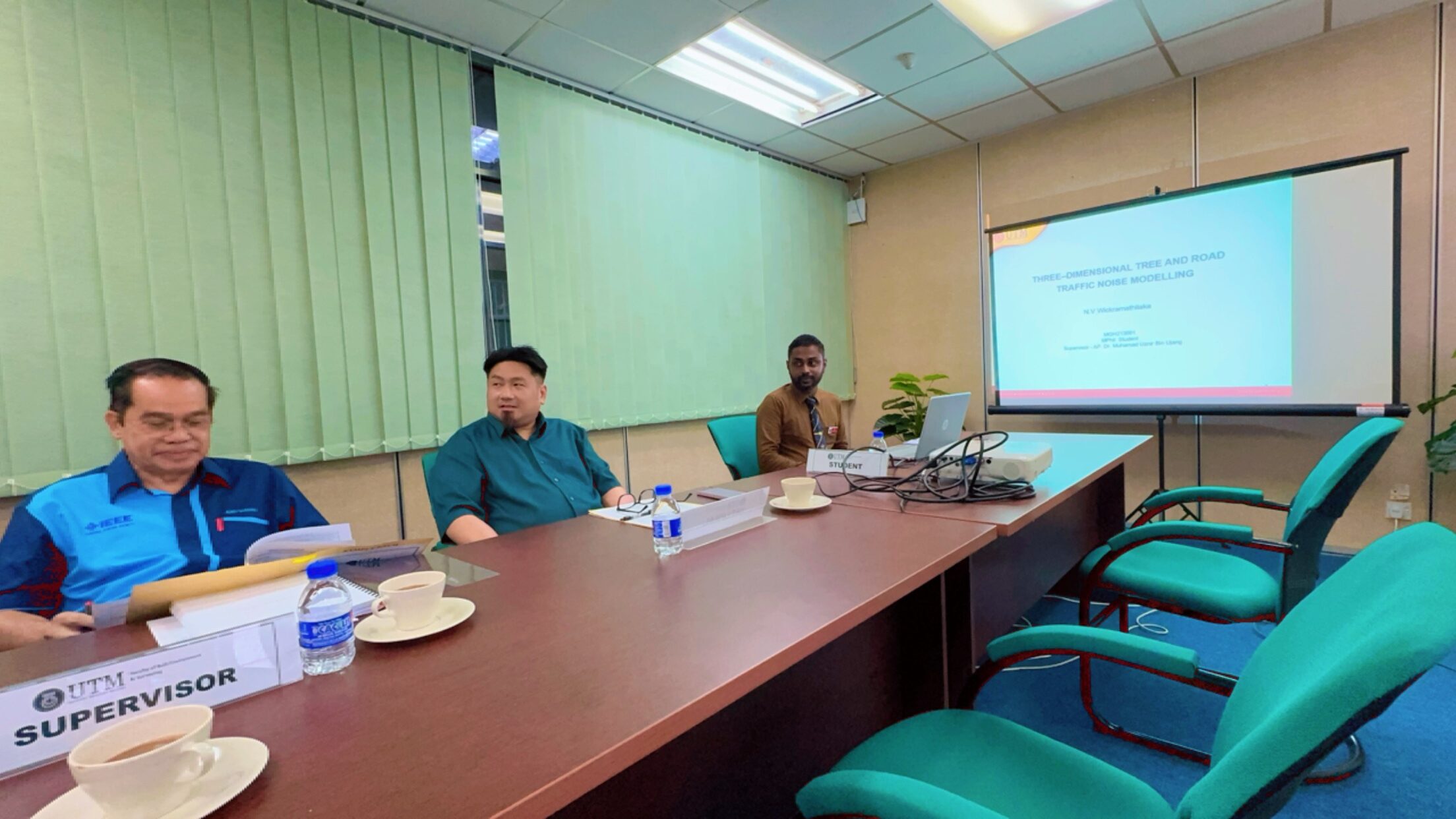
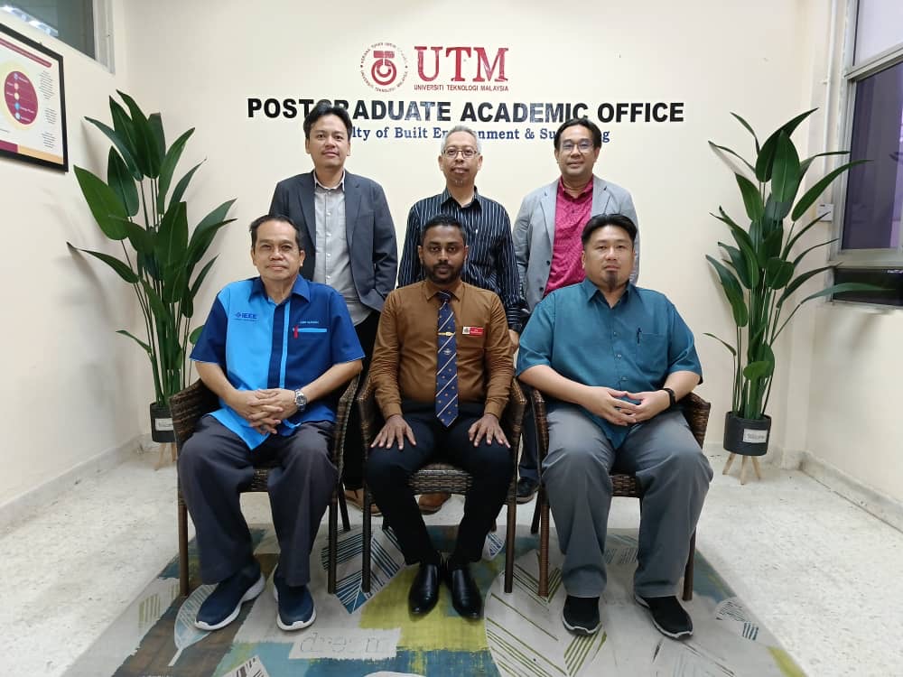
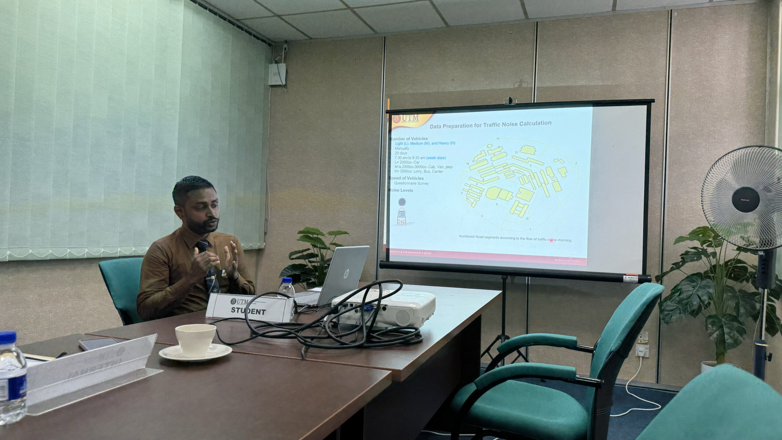
EXCELLENCE IN ACTION – NEVIL SHINES WITH A COMMENDABLE GRADE IN HIS VIVA VOCE!
Thrilled to share the incredible achievement of my MPhil student from Sri Lanka, Nevil! He absolutely shone in his viva voce, securing a commendable grade with just one month of corrections.
In a concise one-hour session, including Q&A, he showcased his expertise impressively.
Nevil successfully completed his MPhil research under my supervision in just 1.5 years. His accomplishments include publishing three (3) journals (Q1 and Q3), presenting at four (4) Scopus international conferences, securing three (3) intellectual properties, and having three (3) additional journals under review. In the beginning, Nevil thought achieving all this was impossible, but I continually assured him that it was possible.
Now, he’s rightfully recommended for a merit by the examiners for his study! Huge congratulations, Nevil!
BRIDGING THE GAP WHEN 4D AND 5D BIM MEET GIS IN CONSTRUCTION INNOVATION
Exciting News! This is our research on “Adaptation of 4D and 5D BIM for BIM/GIS Data Integration in Construction Project Management”!
Ever wondered how to navigate the complexities of construction project management seamlessly? Enter BIM – your digital superhero in 3D! But wait, there’s more! What about geospatial analyses for route design, cost estimation, and site layout? That’s where GIS swoops in to save the day!
Join me on this journey of BIM/GIS integration, where 4D BIM (scheduling) and 5D BIM (cost estimation) join forces to revolutionize project management. Unveiling the power duo of Naviswork and Autodesk Revit, we’re bridging the gap and boosting time efficiency and cost savings during construction.
Ready to explore the future of construction management? Swipe through my publication for the ultimate guide!
Your thoughts and feedback are gold! Let’s build the future together!
BREAKING DOWN THE VIBES OF 3D NOISE INTERPOLATION VIA 3D CITY MODELLING
Exciting News Alert! Just dropped my latest research on 3D Kriging magic for tackling urban noise chaos! Unraveling the secrets of traffic noise visualization – because who doesn’t want a quieter, cooler cityscape?
Dive into the 3D noise symphony! IDW and TIN step aside – it’s all about 3D Kriging now, paving the way for precision in noise level predictions.
Curious about the backstage dance of variograms? Swipe through my publication for the ultimate guide to picking the right beat for accurate 3D Kriging interpolation!
Let’s turn down the noise and turn up the innovation!