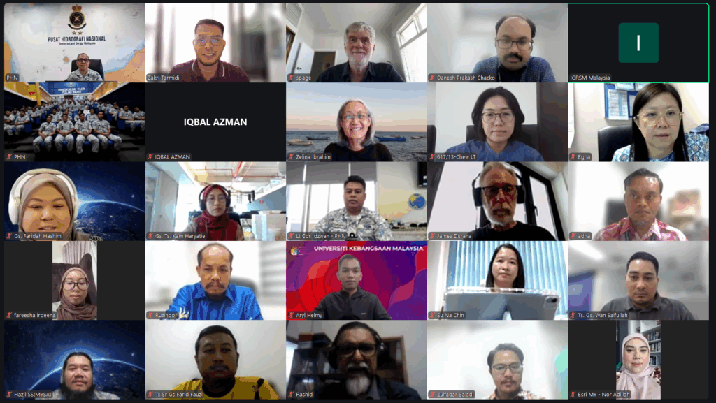
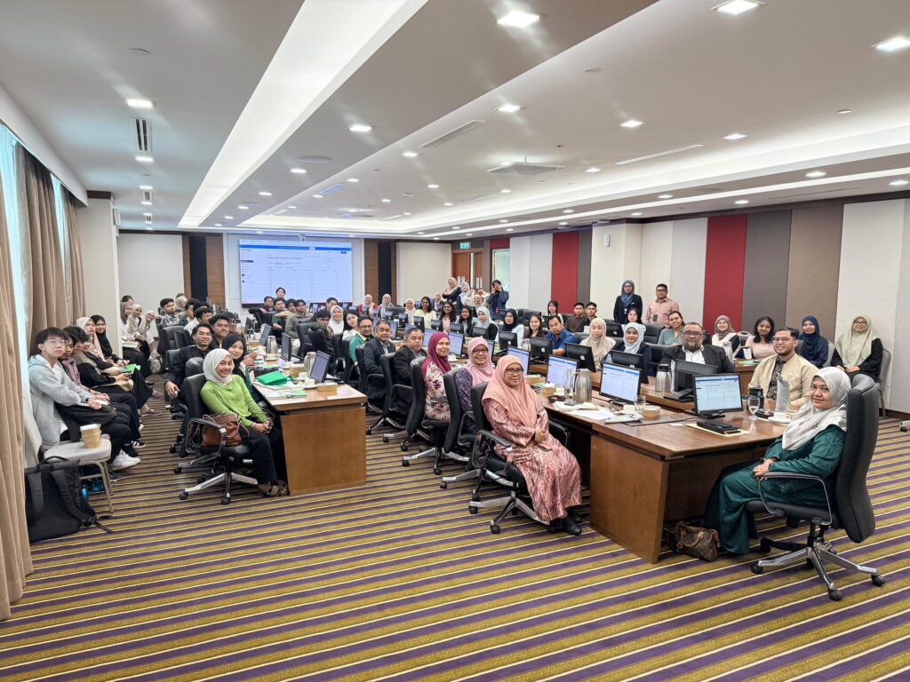
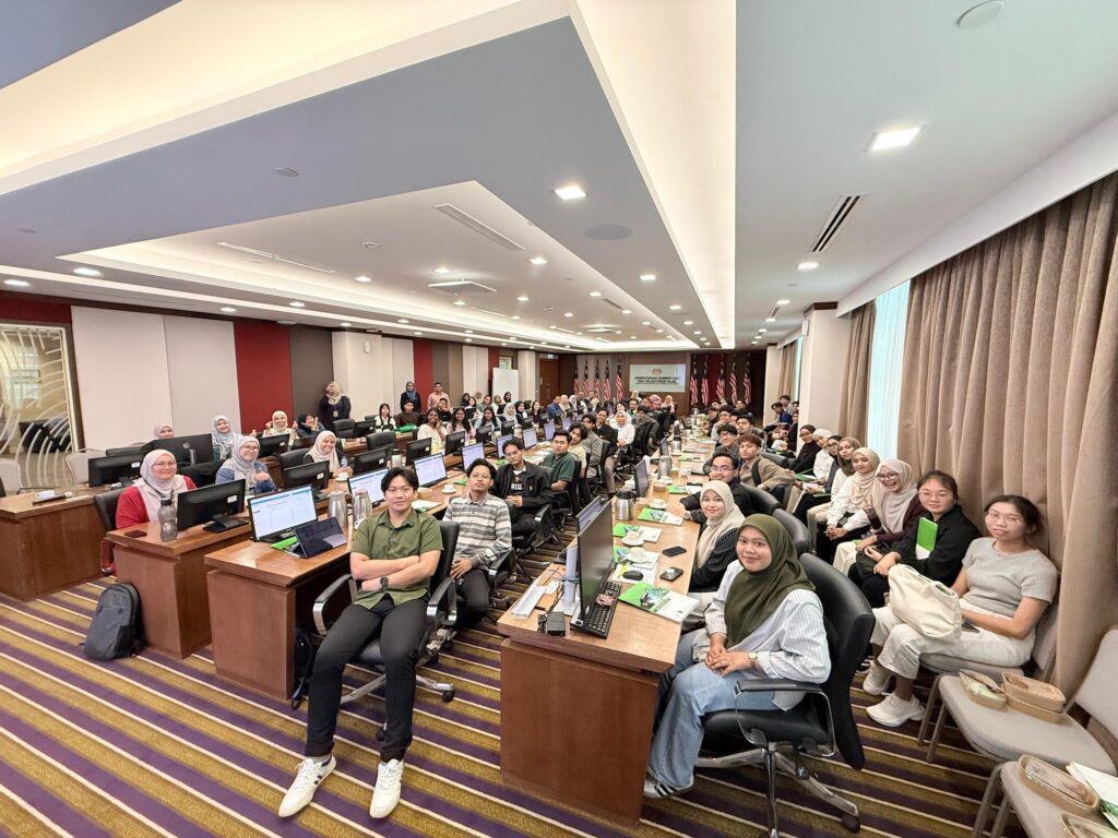
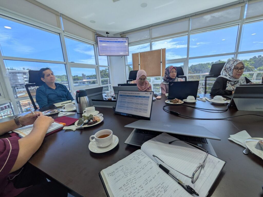
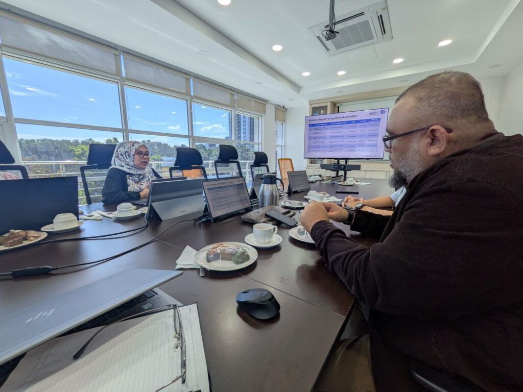
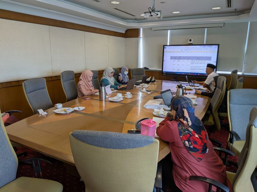
I had the absolute pleasure of moderating today’s IGRSM Talk 2026/1, and what a way to kick off the year! It’s not every day you get to bridge the conversation between the complexities of the deep sea and the urgent needs of global sustainability.
We had two heavyweights in the industry today who truly brought their A-game. My notebook is full, and my mind is buzzing with new perspectives:
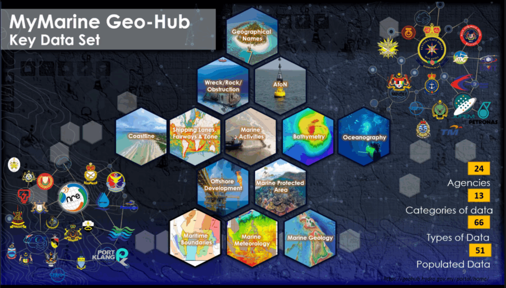
Rear Admiral Dr. Najhan bin Md Said (Director General, NHC) – The Admiral gave us a masterclass on “Building Malaysia’s Marine Spatial Data Infrastructure.” It was fascinating to hear how we are moving toward “Smarter Maritime Governance.” It’s clear that managing our vast waters isn’t just about drawing lines on a map; it’s about creating a coordinated, high-tech pathway that links data, policy, and sovereignty.
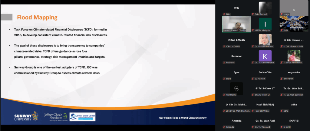
Gs. Danesh Prakash Chacko (Jeffrey Sachs Centre, Sunway University) – Danesh delivered a powerful reality check on “Sustainability: The Role of GIS.” He showed us that GIS isn’t just a supporting tool for the Sustainable Development Goals (SDGs)—it is the very backbone that allows us to measure, visualize, and actually achieve them. His passion for using open data to solve real-world environmental challenges is always infectious!
As a moderator, what struck me most was the synergy between these two topics. Whether we are looking at the sea floor or our urban landscapes, the “Spatial” element is what ties everything together.
A huge thank you to the IGRSM committee for the invitation, to our esteemed speakers for their time, and to the participants for the high-level engagement in the Q&A. The energy in the virtual room today proves that the geospatial community in Malaysia is not just growing—it’s leading.
Stay safe, stay spatial, and see you at the next one!
hashtag#IGRSM hashtag#GIS hashtag#Hydrography hashtag#Sustainability hashtag#SDGs hashtag#GeoAI hashtag#SpatialData hashtag#MalaysiaGeospatial hashtag#MaritimeGovernance hashtag#LifeOfAModerator

