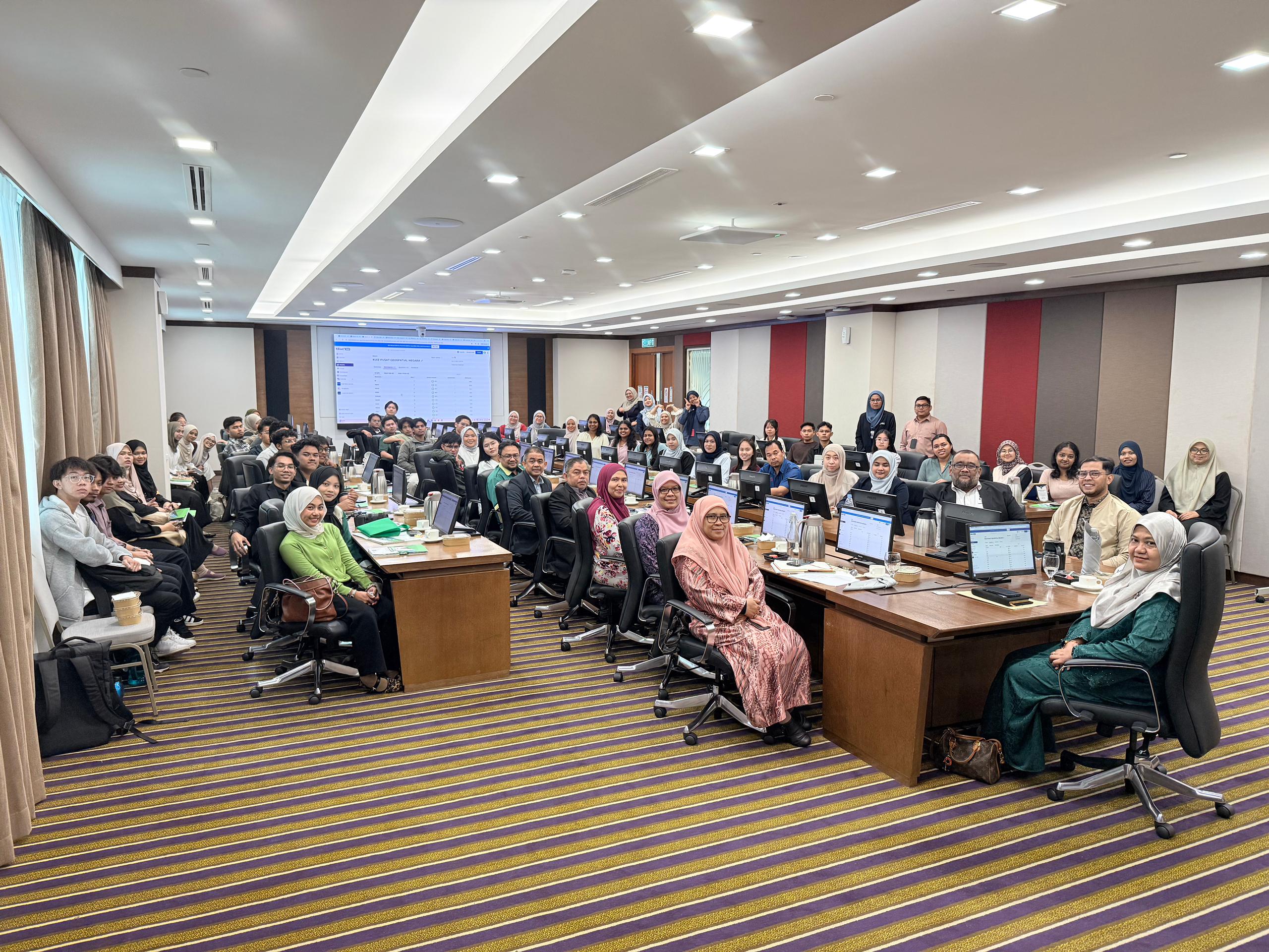
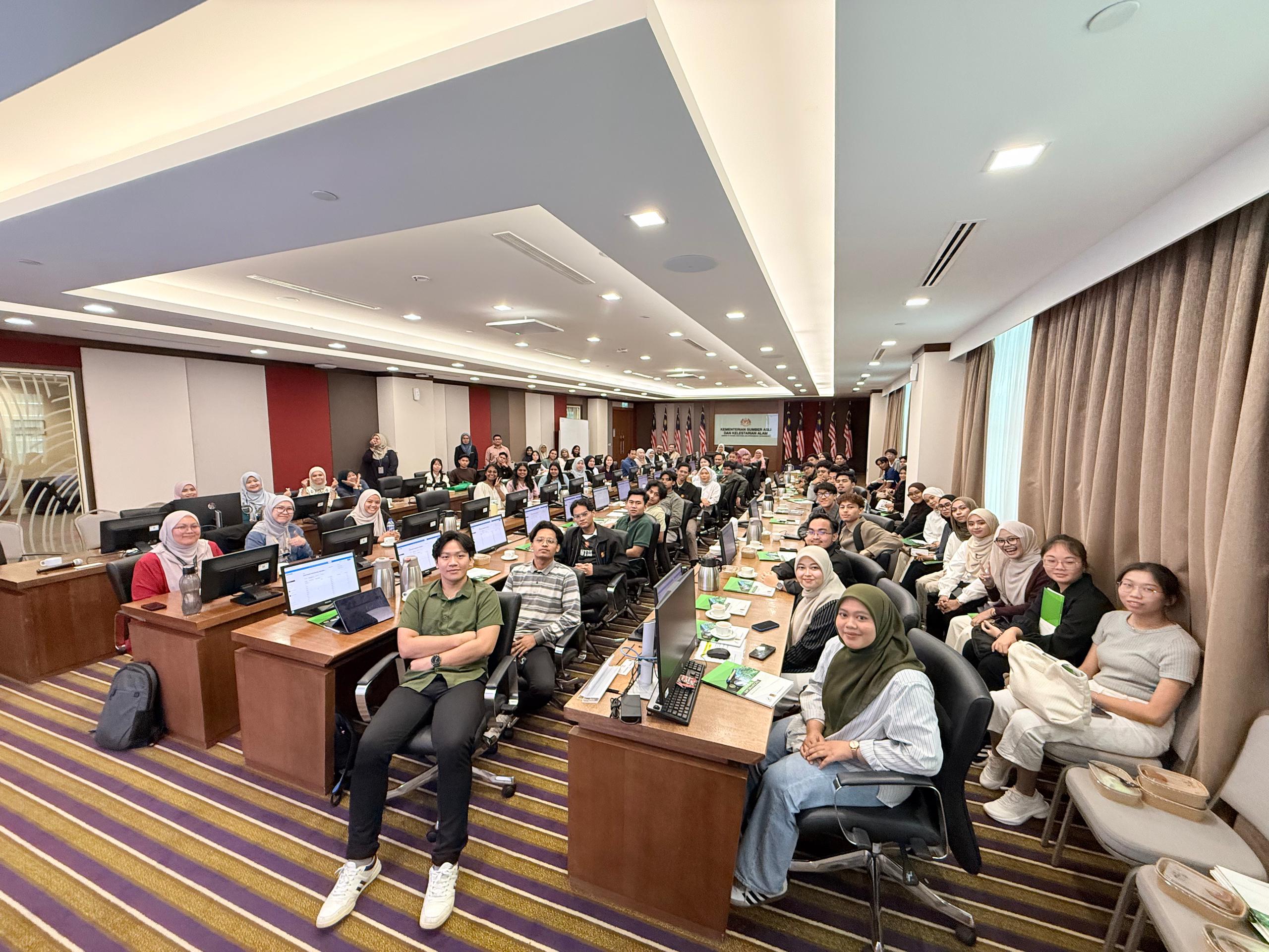
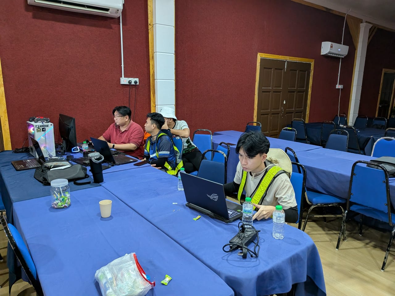
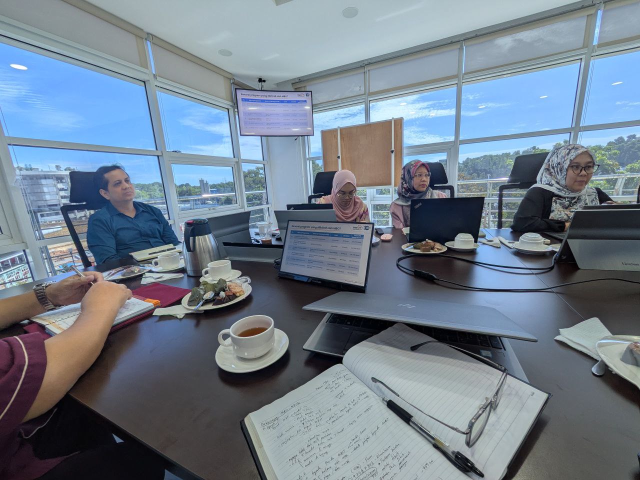
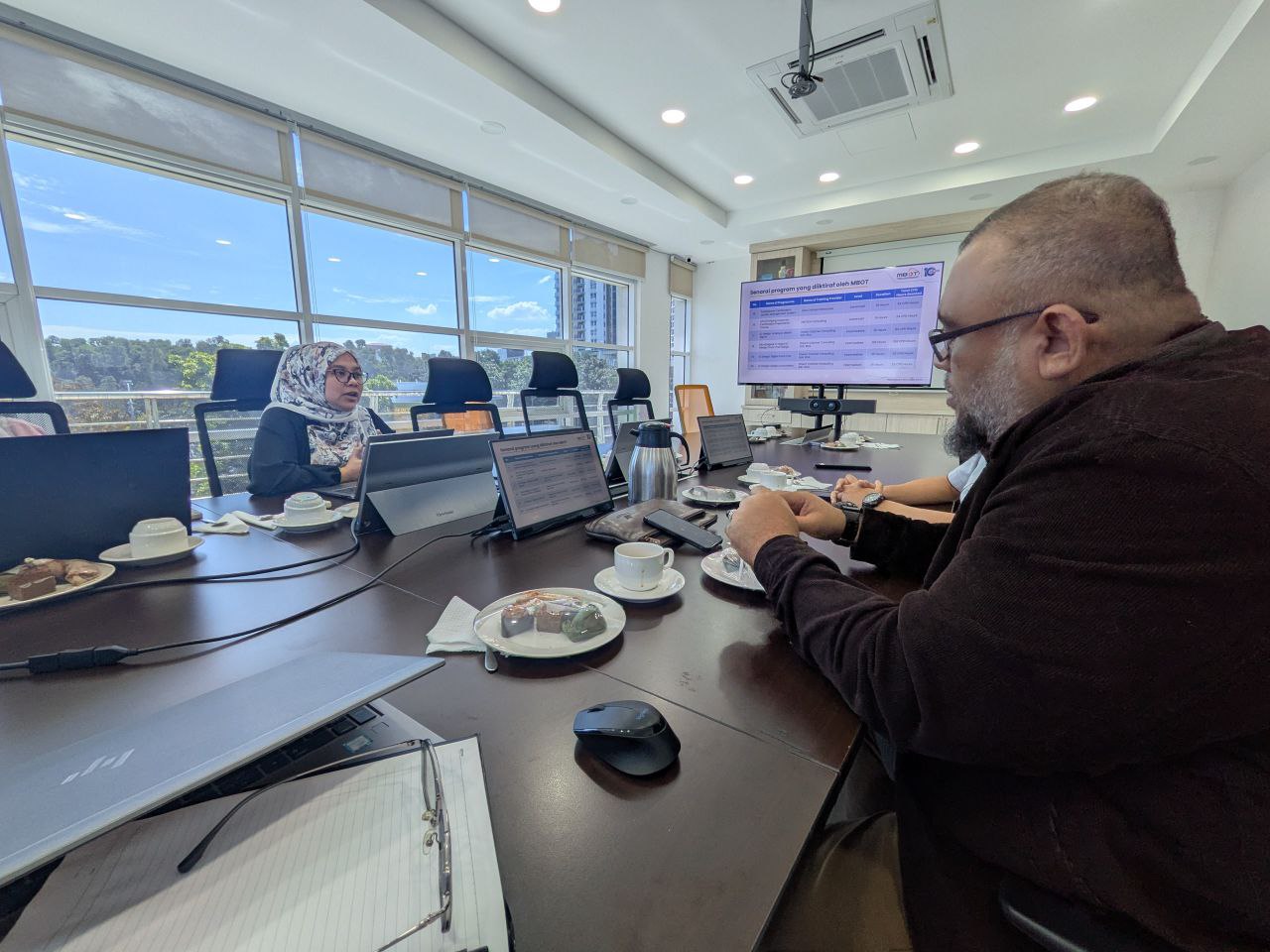
Honored to be invited by the National Geospatial Centre (PGN) as a Subject Matter Expert (SME) to conduct a briefing and knowledge-sharing session on the MS2647 metadata standard. 🗺️📊
This special invitation was part of an initiative to enhance and upgrade the MyGeoportal application, ensuring it aligns with the latest developments of the MS2647 standard.
During the session, we dived deep into the technicalities, and I had the privilege of sharing insights on understanding MS2647, the key components in the standard, the 4 main parts in this documents, understanding and aligning the main document information, with information in Annex B and Annex C.
Understanding MS2647: Breaking down the core framework and requirements of the standard.
Implementation Strategies: Practical approaches to adopting the standard effectively.
I hope this sharing session provides a clear and actionable roadmap for the PGN team, ultimately contributing to a more robust, standardized, and efficient MyGDI improvement.
Looking forward to seeing the new and improved MyGeoportal in action! 🚀
Continuity is vital in the complex world of standardization. I recently attended the latest session of the Technical Committee on Geographic Information/Geomatics (NSC 07/TC 2), continuing my role as a representative for Universiti Teknologi Malaysia (UTM).
This meeting was a significant step forward in our ongoing mission to refine Malaysia’s geospatial framework. We are currently in the final stages of reviewing two critical documents:
1. MS 1759 (Amendment): Geographic information/geomatics – Feature and attribute codes.
2. MS 2039 (Amendment): Addresses – Standard Format – Requirements.
By consistently revisiting and enhancing these standards, we ensure that our national data infrastructure remains synchronized with technological advancements and industry demands.
Our work doesn’t stop at the national level. As part of our committee’s ongoing commitment to international excellence, we also finalized preparations for Malaysia’s active participation in the global ISO technical meetings. This May 2026, our journey continues in Ottawa, Canada, where we will represent Malaysia’s interests and stay aligned with global geospatial trends.
Being part of this long-term process is a rewarding experience. It’s about ensuring that the foundation we build today supports the digital and geospatial innovations of tomorrow.
I am excited to share that my latest research chapter, “Spatial Data Sharing in Smart Cities Implementation: A Systematic Literature Review,” has been published by Springer Nature!
As cities worldwide transition into “Smart Cities,” the ability to share, integrate, and visualize spatial data—from GIS and remote sensing to drone technology—becomes the backbone of urban sustainability and citizen well-being.
Key Insights from the Chapter:
~ Global Trends: Our systematic review (using the PSALSAR technique) highlights that the Asian region, particularly China, is leading the discourse in this field. ~ Core Challenges: We scrutinized five critical areas—Technology, Data Quality, Social impact, Environmental factors, and Governance. ~ Future Roadmaps: The study outlines four strategic directions, including empowering community collaboration in Spatial Data Infrastructure (SDI) and transforming governance toward “Spatial Enablement.”
In an era where “Location Intelligence” drives decision-making, understanding the hurdles of data compatibility, security, and accessibility is crucial for researchers and urban planners alike.
A big thank you to the editorial team for bringing this comprehensive review to life. I hope this work serves as a valuable resource for those shaping the future of our urban ecosystems.
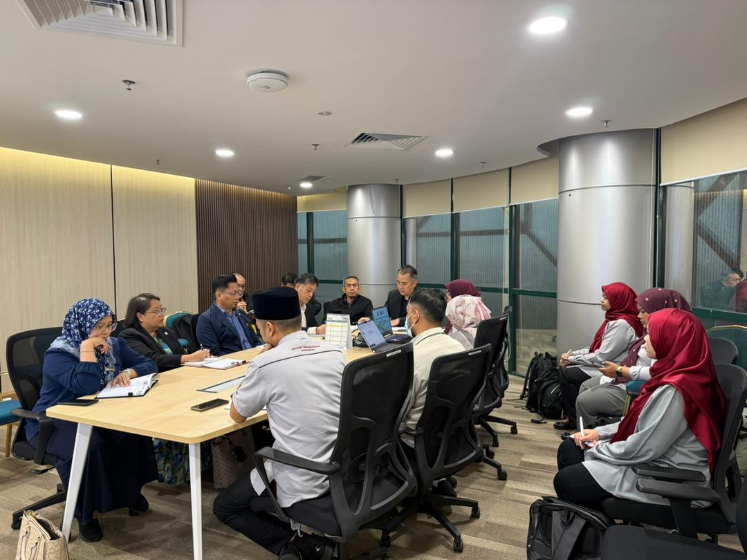
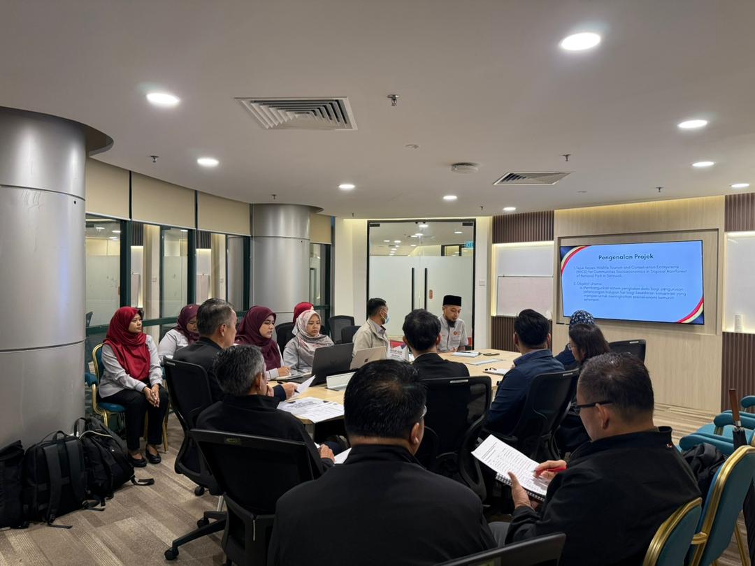
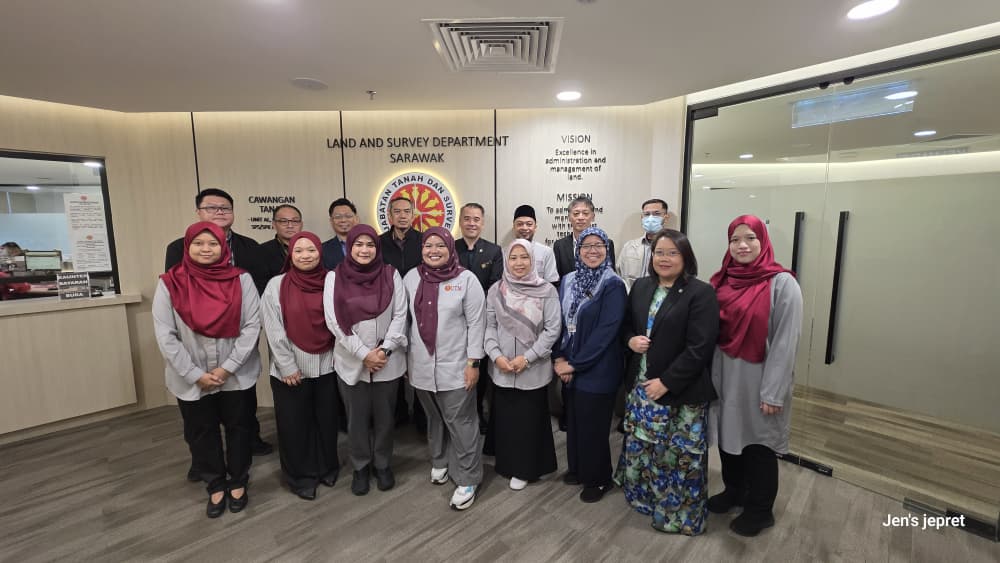
Despite the heavy rain in Kuching since early morning, our spirits remained high as we gathered at the Land and Survey Department (JTS) for a strategic discussion regarding the research grant led by Dr. Noordyana.
Our focus was centered on the project: “Database Development on Socio-economic Management for Wildlife Tourism and Conservation.” This session was crucial as it involved coordinating the integration and management of databases developed through this grant for the benefit of all relevant agencies.
A heartfelt thank you to our strategic partners for their invaluable insights during our session at JTS including JTS, SFC, SAINS and other participants from Land Office and Resident’s Office.
The synergy between academia and government agencies is the cornerstone of ensuring that socio-economic management in wildlife tourism and conservation is driven by accurate, centralized data.
I am hopeful that the outcomes of today’s discussion will yield long-term positive impacts for all stakeholders and for the natural heritage of Sarawak.
Pengajaran dan pembelajaran di peringkat tertier (universiti) perlu sentiasa berkembang dan ditambahbaik, seiring dengan penemuan dan kajian terkini yang telah didapati.
Akan tetapi, kebanyakan kaedah pengajaran dan pembelajaran masih kekal statik, dengan kaedah penyampaian kuliah dan amali sahaja. UTM dengan beberapa inisiatif di bawah New Academia Learning Innovation telah memperkenalkan dan meningkatkan kaedah pembelajaran yang lebih aktif dan berkesan sesuai dengan zaman yang semakin mencabar.
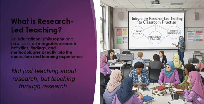
Salah satu kaedah pembelajaran dan pengajaran yang dapat mengaitkan pelajar dengan kajian dan penemuan terkini adalah dengan satu kaedah dikenali sebagai Research-Led Teaching.
*Sumber: Nota Prof Ir. Ts. Dr. Sharifah Rafidah binti Wan Alwi
Research-Led Teaching bertujuan untuk mengintegrasikan pengajaran berasaskan aktiviti berasaskan kajian. Ianya menambah pengalaman melaksanakan kajian dalam kelas pengajaran kursus.
Terdapat empat kaedah pelaksanaan Research-Led Teaching ini, iaitu: Research-based, Research-Oriented, Research-driven, dan Research-tutored. Boleh baca secara mendalam di laman web UTMCDeX: https://utmcdex.utm.my/research-led-teaching/
Bagi menambahbaik pelaksanaan kursus Spatial Data Management, kaedah Research-Tutored telah diimplementasikan dalam kelas. Ianya memberikan pelajar yang mengambil kursus ini untuk melaksanakan sebahagian cara melaksanakan kajian.
Pelajar diberikan tajuk khusus, dan diminta mencari rujukan dalam laman sesawang jurnal, seperti WOS dan Scopus. Pelajar juga didedahkan kaedah menggunakan perisian Mendeley bagi mempercepatkan proses membuat rujukan kelak. Pelajar diminta untuk mencari sekurang-kurangnya 5 artikel jurnal dalam laman sesawang yang dinyatakan.
Selepas mendapat artikel jurnal ini, pelajar kemudiannya dikehendaki membaca, dan mengenalpasti beberapa perkara utama, antaranya apa tujuan kajian, apa permasalahan, kaedah yang digunakan dalam kajian itu, serta data yang digunakan dalam kajian tersebut. Pelajar kemudiannya diminta untuk mengkelaskan kajian-kajian yang didapati. Kemudian dibentangkan dalam kelas.
Sesi soal-jawab antara rakan sekelas seterusnya dibuat, untuk melihat, adakah betul hasil kerja dilaksanakan oleh kumpulan tersebut, dan seterusnya persoalan kritikal akan dilontarkan bagi meningkatkan kefahaman pelajar.
Kaedah Research-Led Teaching (Pembelajaran Terpandu-Kajian) ini sangat diperlukan bagi menambahbaik pekerjaan semasa. Lebih-lebih lagi kerajaan menetapkan Malaysia mencapai Negara Berpendapatan Tinggi, yang sangat memerlukan kepada inovasi dalam pelbagai bidang. Dan salah satu kaedahnya, adalah dengan mengkaji kajian terdahulu, serta mengkaji bagaimana penambahbaikan rekabentuk, produk, atau model itu boleh dilaksanakan.
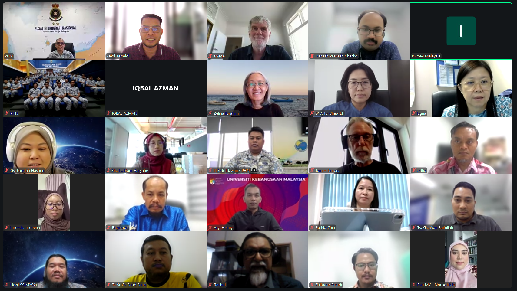
I had the absolute pleasure of moderating today’s IGRSM Talk 2026/1, and what a way to kick off the year! It’s not every day you get to bridge the conversation between the complexities of the deep sea and the urgent needs of global sustainability.
We had two heavyweights in the industry today who truly brought their A-game. My notebook is full, and my mind is buzzing with new perspectives:
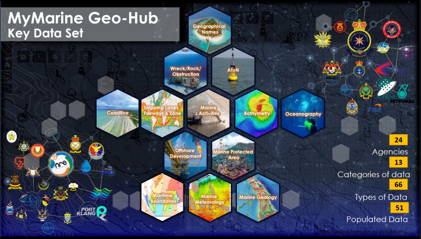
Rear Admiral Dr. Najhan bin Md Said (Director General, NHC) – The Admiral gave us a masterclass on “Building Malaysia’s Marine Spatial Data Infrastructure.” It was fascinating to hear how we are moving toward “Smarter Maritime Governance.” It’s clear that managing our vast waters isn’t just about drawing lines on a map; it’s about creating a coordinated, high-tech pathway that links data, policy, and sovereignty.
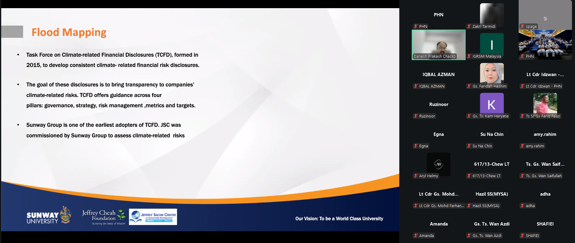
Gs. Danesh Prakash Chacko (Jeffrey Sachs Centre, Sunway University) – Danesh delivered a powerful reality check on “Sustainability: The Role of GIS.” He showed us that GIS isn’t just a supporting tool for the Sustainable Development Goals (SDGs)—it is the very backbone that allows us to measure, visualize, and actually achieve them. His passion for using open data to solve real-world environmental challenges is always infectious!
As a moderator, what struck me most was the synergy between these two topics. Whether we are looking at the sea floor or our urban landscapes, the “Spatial” element is what ties everything together.
A huge thank you to the IGRSM committee for the invitation, to our esteemed speakers for their time, and to the participants for the high-level engagement in the Q&A. The energy in the virtual room today proves that the geospatial community in Malaysia is not just growing—it’s leading.
Stay safe, stay spatial, and see you at the next one!
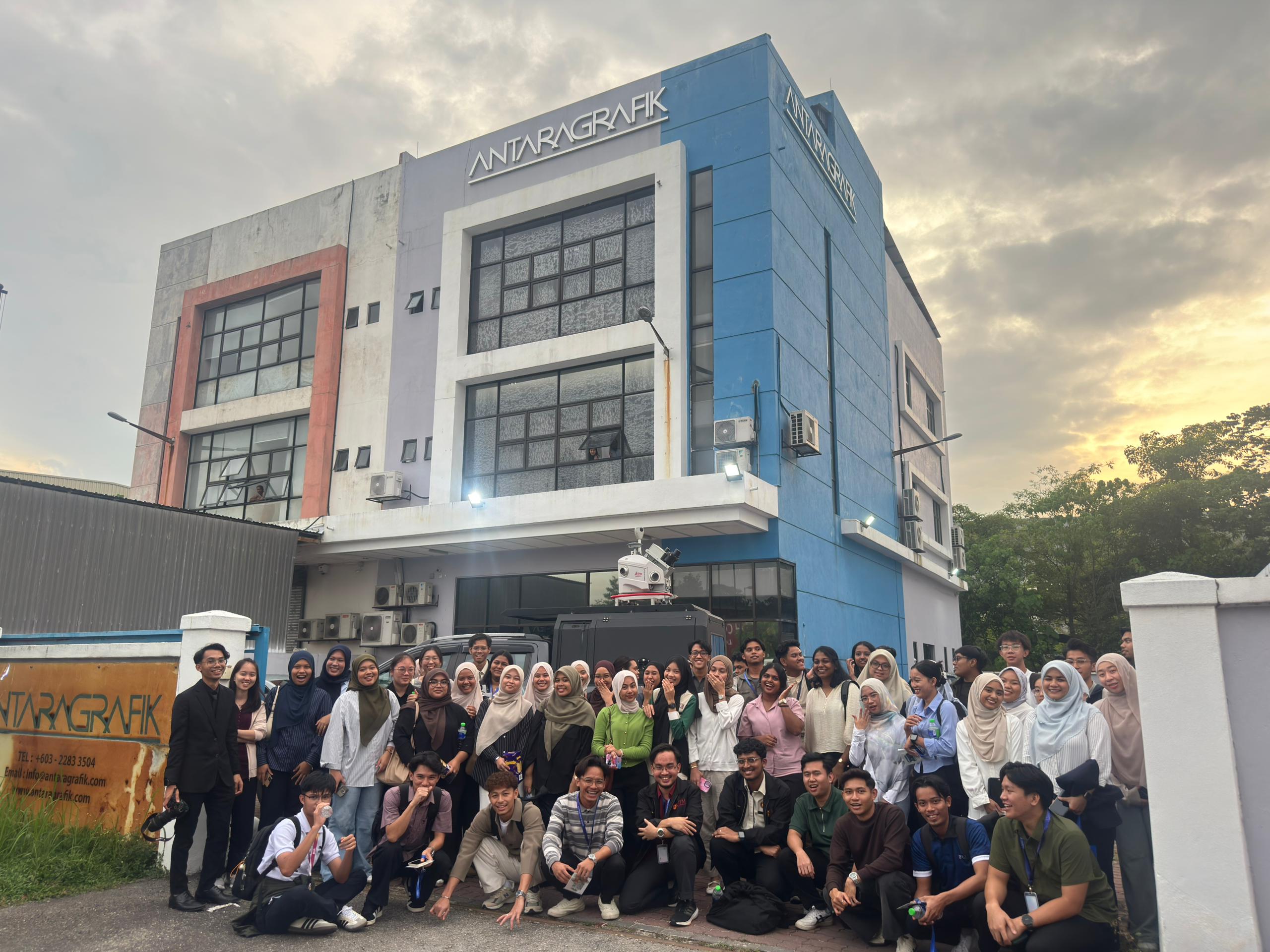
Last week, the GeoConnect 25 delegation had an insightful visit to Antaragrafik Systems Sdn Bhd, one of Malaysia’s leading geospatial solution providers with over three decades of experience in end-to-end geospatial, mapping, and surveying services.
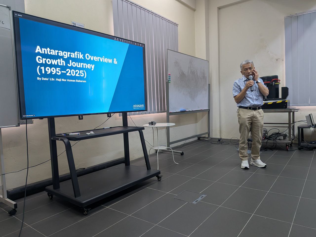
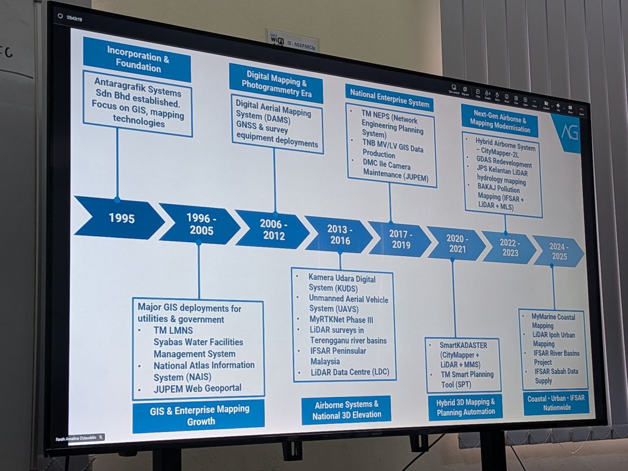
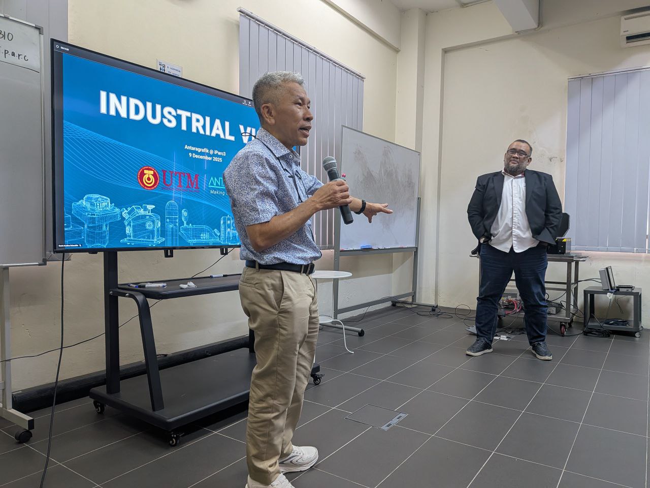
During the visit, we were welcomed by the CEO, Dato’ Sr. Hj. Nor Azman Baharum, along with the Chief of Sales and several team members, who shared rich insights into the company’s history, vision, and future direction in the geospatial industry. Their presentation highlighted Antaragrafik’s journey since its establishment in 1995 and its strong commitment to delivering comprehensive geospatial solutions across sectors.
We were also introduced to advanced technologies currently used in the field, including: • Hybrid aerial photogrammetry cameras that support precision airborne data capture • Hybrid mobile TLF systems for versatile terrestrial surveying • Automated total station equipment for efficient and accurate geospatial measurement
These demonstrations provided participants with practical exposure to cutting-edge tools driving modern geospatial practices.
The session continued with interactive quizzes, Q&A, and hands-on activities — where students got the chance to try out the equipment and deepen their understanding of how such technologies are applied in real-world geospatial workflows.
A big thank you to the team at Antaragrafik for the warm reception and knowledge sharing, and to the students from the Geoinfo Club, UTM, for coordinating logistics and engagement throughout the visit.
Last Tuesday, the GeoConnect 25 delegation had an enriching visit to the Pusat Geospatial Negara (PGN) — the national authority coordinating geospatial data and standards in Malaysia under the Ministry of Natural Resources and Environmental Sustainability.
We were welcomed and had a productive discussion with Director of PGN, Rusliza Hanim binti Maarif, gaining strategic insights into PGN’s role in driving geospatial coordination, data sharing, and national spatial data infrastructure.
The session continued with a comprehensive presentation by Sr Dr. Noor Anim Zanariah binti Yahaya, where she elaborated on the functions, history, and key initiatives of PGN — from policy development and standards to outreach and technical reference services.
We also learned about data acquisition processes at PGN, including how users and institutions can request and access geospatial data for planning, research, and application development.
The visit concluded with an interactive Q&A session with students, offering them firsthand exposure to national-level geospatial data governance and practical engagement with PGN experts.
This experience was made even more meaningful thanks to the excellent coordination by students from the Geoinfo Club, UTM, who organised the logistics and engagement throughout the visit.
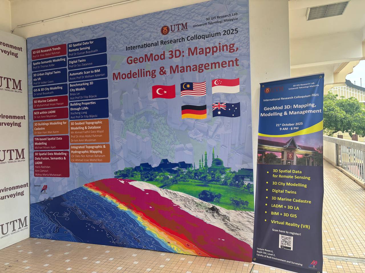
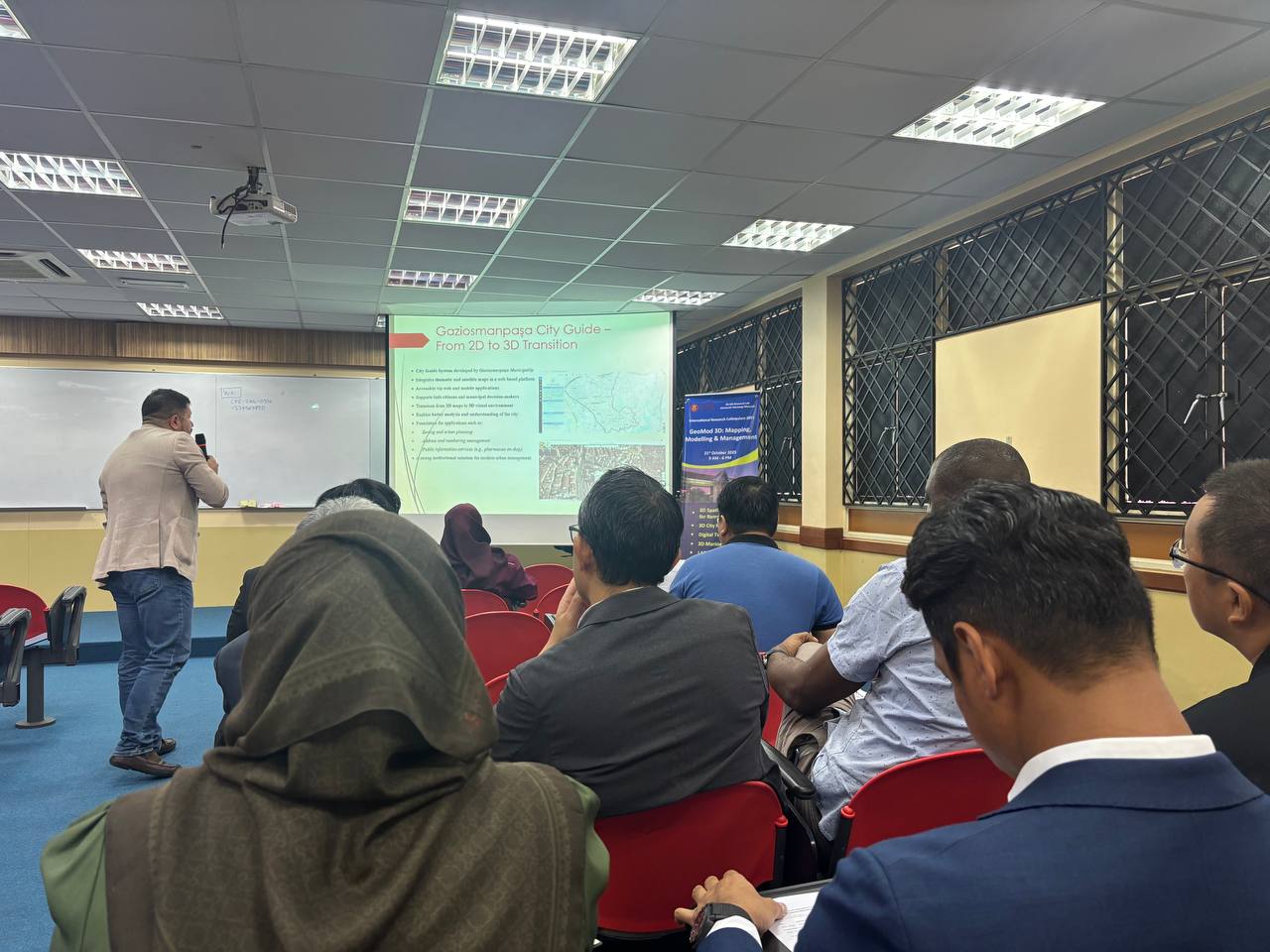
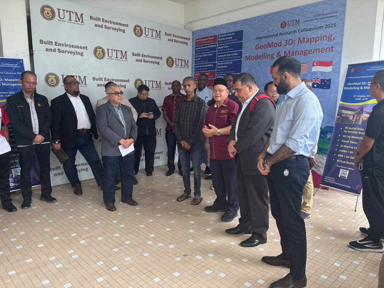
I had the opportunity to attend the GeoMod 3D International Research Colloquium 2025, organised by the 3D GIS Research Lab, Universiti Teknologi Malaysia (UTM), on 21 October 2025.
This one-day event gathered academics, researchers, students, and industry professionals to exchange ideas and share the latest developments in 3D mapping, modelling, and spatial data management. The colloquium featured insightful presentations from international experts, including speakers from Germany, Australia, Turkey, Singapore, and Malaysia, covering topics such as 3D Digital Twins, BIM, LADM, City Models, and Marine Applications.
What made this event even more engaging was the active participation from industry partners such as AFTECH Sdn. Bhd., Indah Geomatik, and I-Net Spatial Sdn. Bhd., who shared their experiences and real-world projects in 3D development and applications within the geospatial sector.
It was a meaningful platform that bridged the gap between academia and industry — fostering collaboration, innovation, and knowledge sharing in the ever-evolving field of Geoinformatics.
Kudos to the organising team for an excellent and inspiring event!
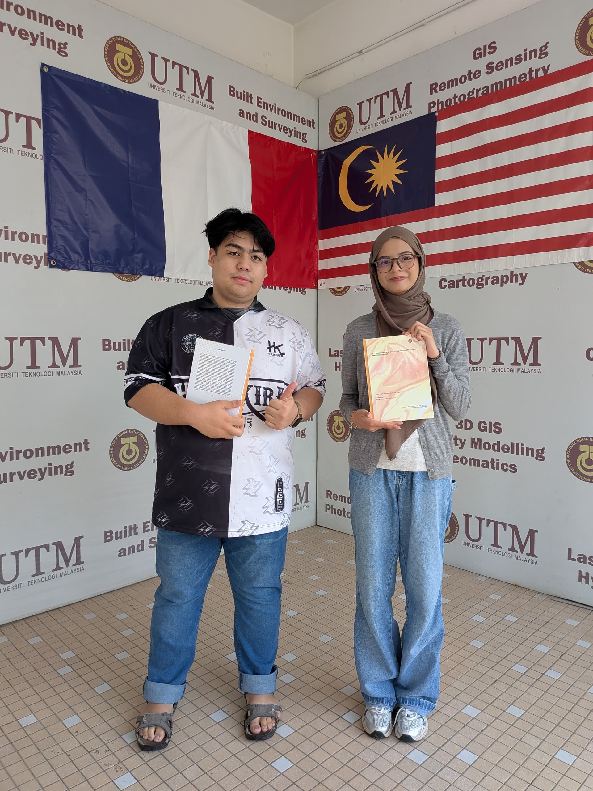
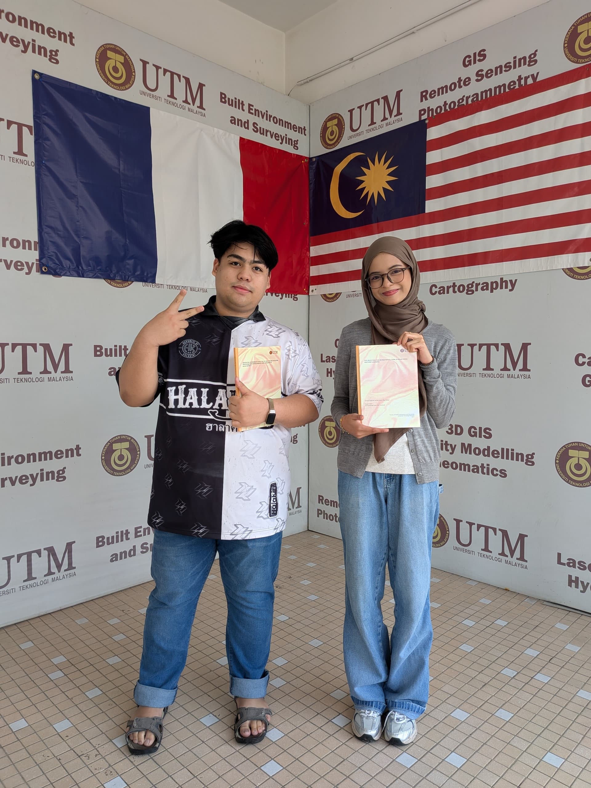
A heartfelt congratulations to Farah Najihah, Mohamad Adnan Rosli and Nurinnafisa Zaki for successfully completing your Final Year Project journey!
Your dedication, resilience, and countless hours of effort—through all the challenges, late nights, and breakthroughs — have truly paid off. I’m proud of the growth you’ve shown not just as students, but as future professionals.
Wishing you all the best in your next chapter. May success continue to follow you in every step you take. I’m always rooting for you!