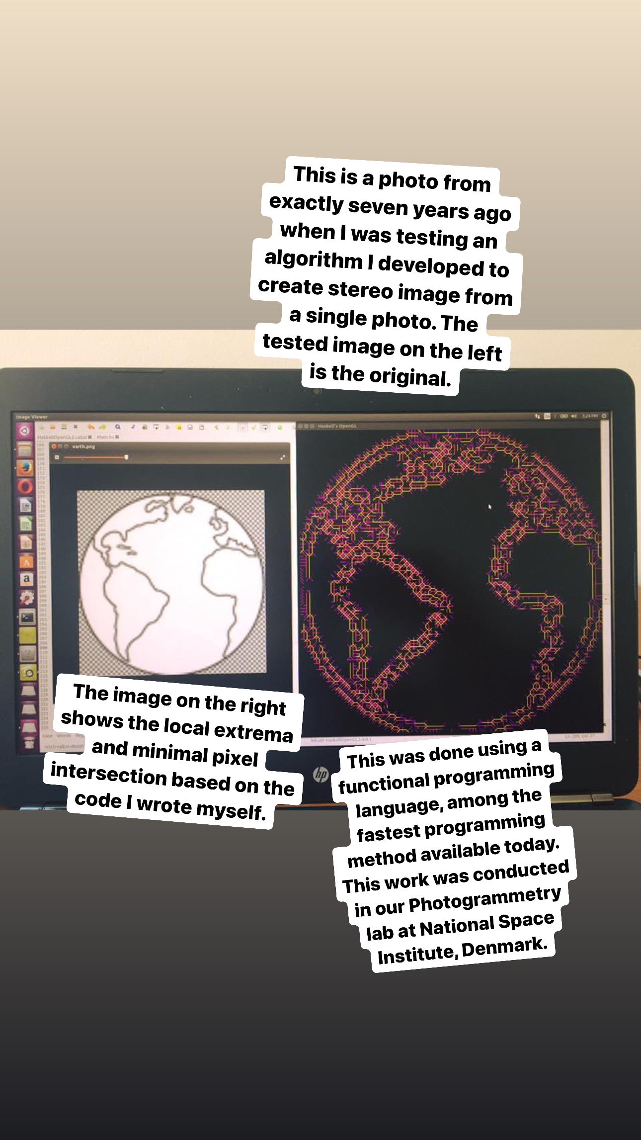
This is a photo from exactly seven years ago when I was testing an algorithm I developed to create stereo image from a single photo. The tested image on the left is the original. The image on the right shows the local extrema and minimal pixel intersection based on the code I wrote myself. This was done using the Haskell functional programming language, among the fastest programming method available today. This work was conducted in our Photogrammetry lab at the National Space Institute, Denmark.
