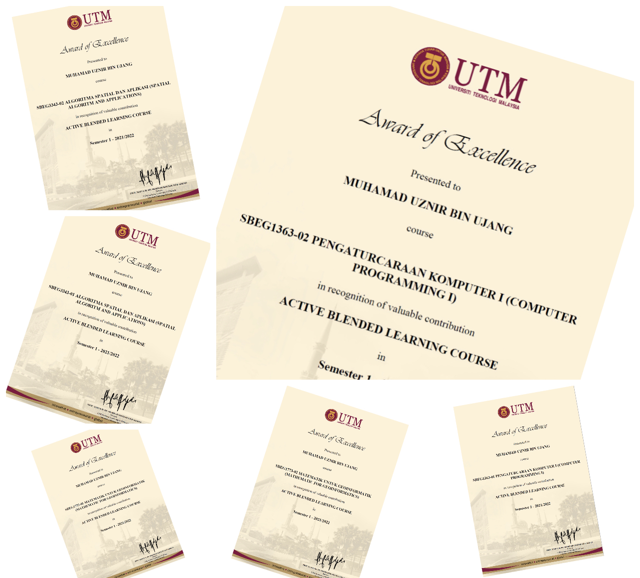
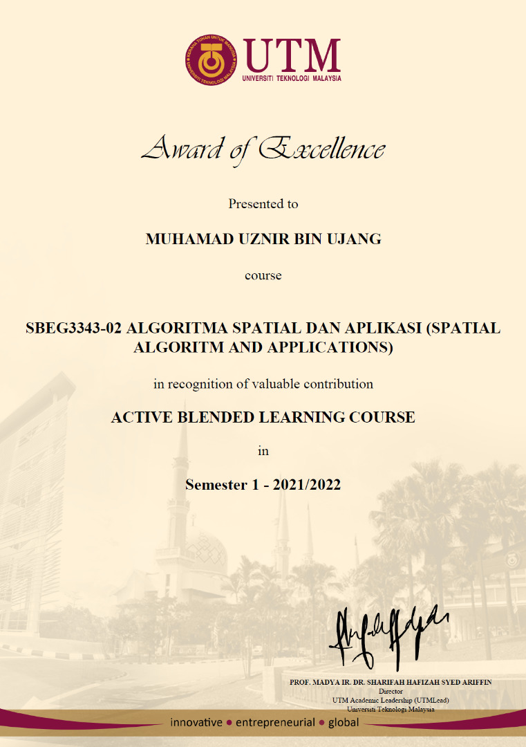
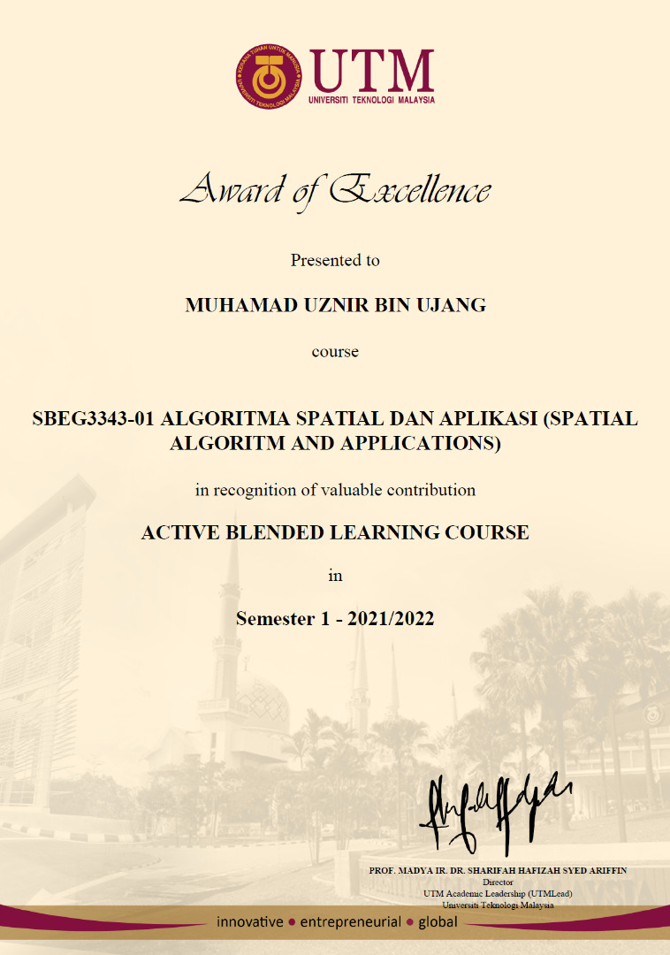
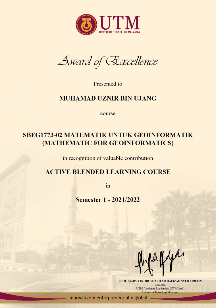
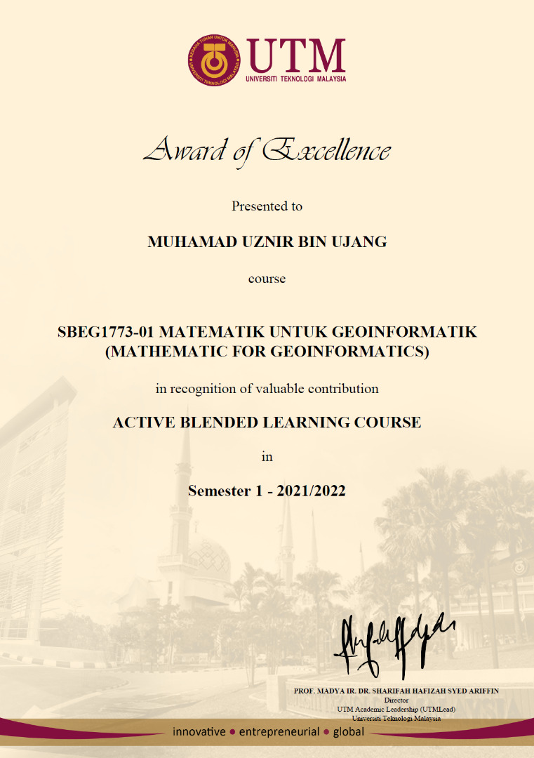
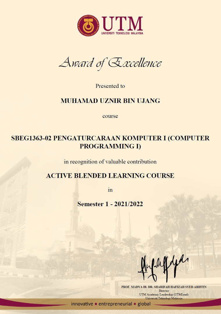
Year-end awards. I received the Award of Excellence in Teaching and Learning for six courses taught in 2021. In total, there are seven courses. However, only six courses were selected for the award. Another course was not successful, but we will try to improve it next year.
I’d like to express my appreciation to all of my students who have helped me throughout the year. This award would not have been possible for me without the help of my awesome students.
Thank you Universiti Teknologi Malaysia for bestowing this honor. This appreciation effort can sometimes motivate staff to give their all to students. When you think about it, these six awards are nothing more than six sheets of A4 paper. However, the award appreciation makes the year’s work worthwhile.
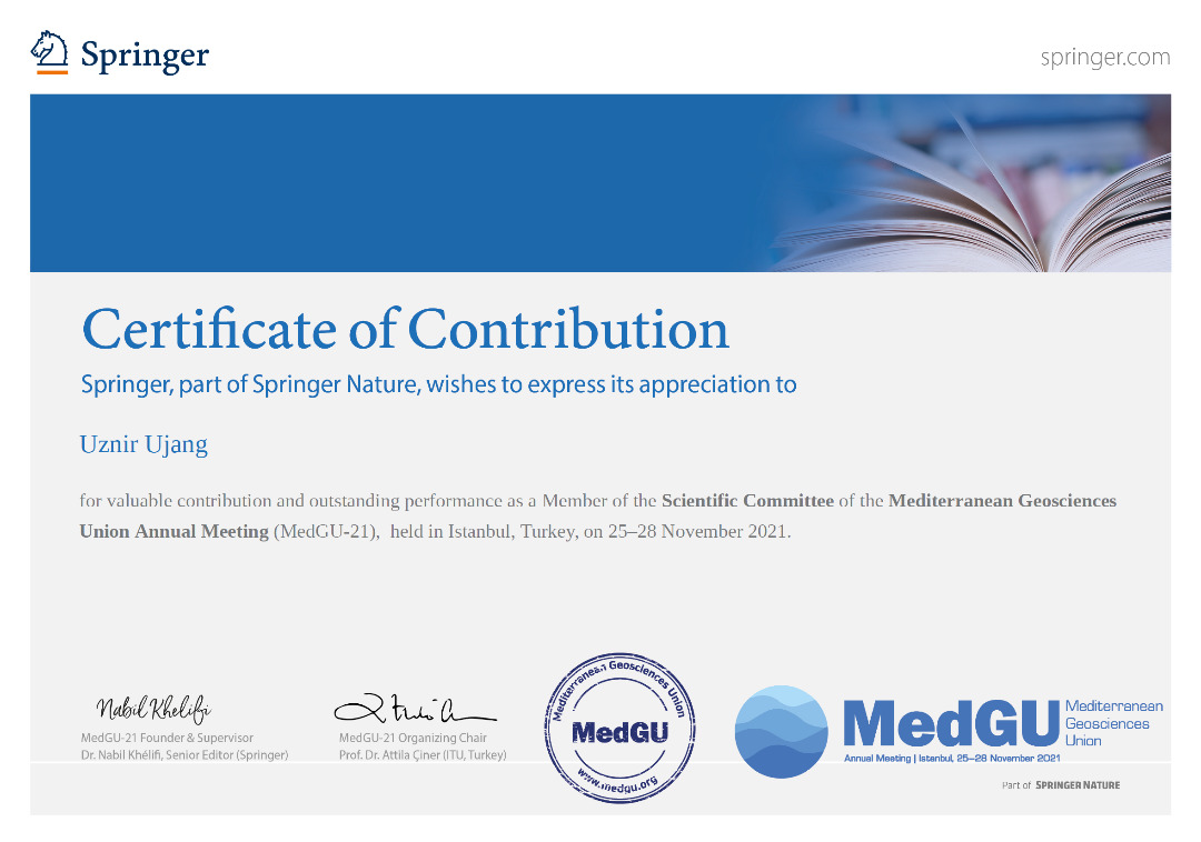
A contribution as a Member of the Scientific Committee of the Mediterranean Geosciences Union Annual Meeting (MedGU-21), which is held in Istanbul, Turkey, on 25-28 November 2021.
MedGU is a Springer, and part of Springer Nature which promotes academic and scientific research in the field of Geosciences.
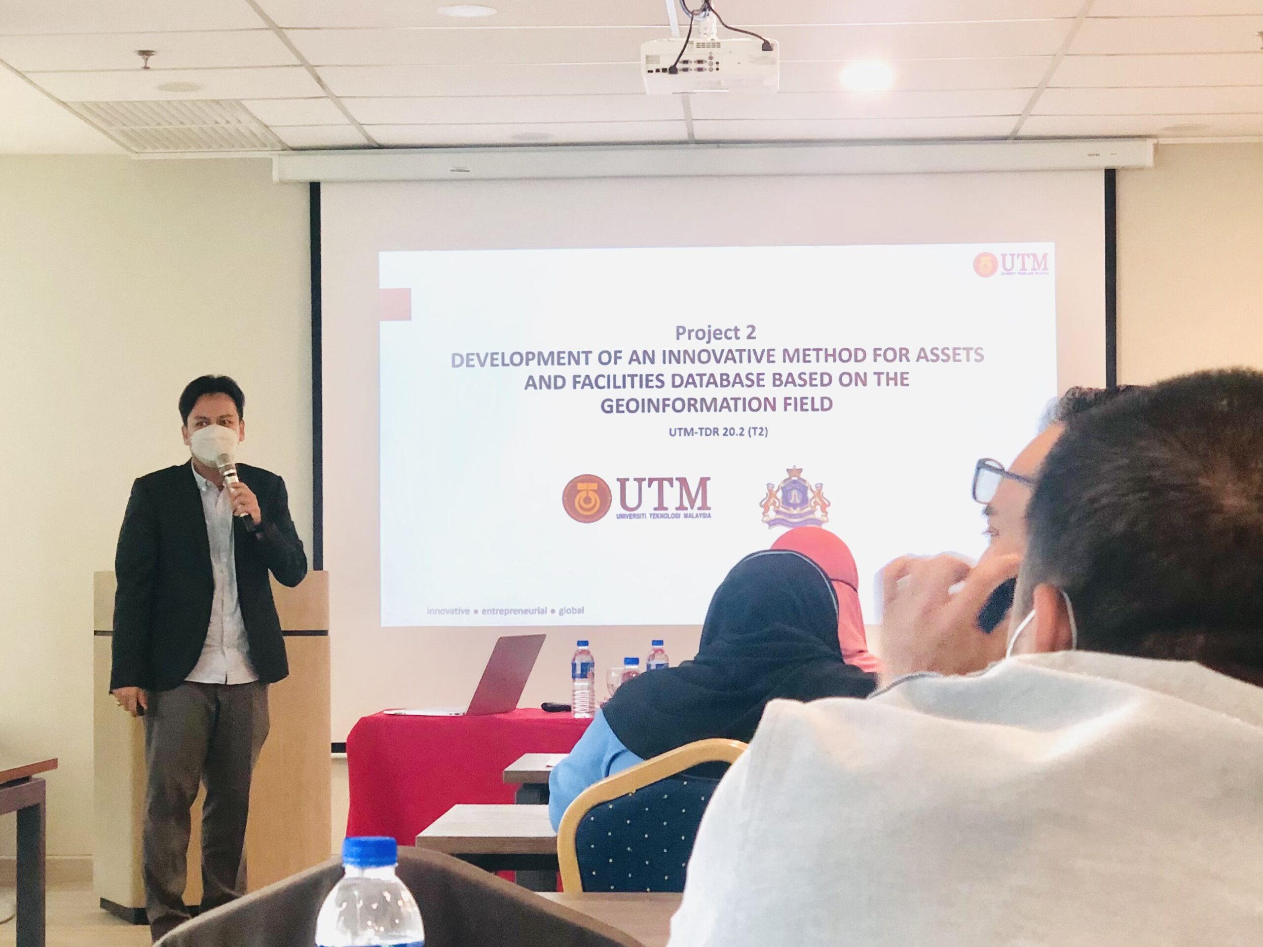
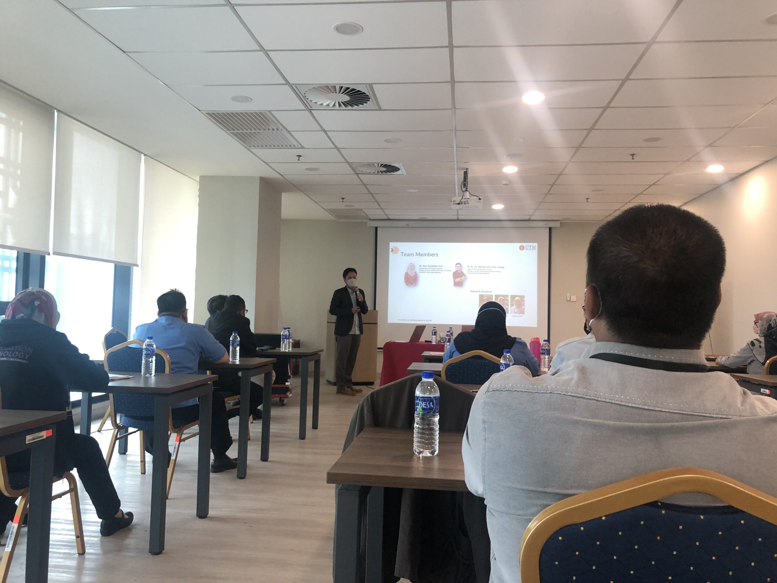
Convey some knowledge in the technology transfer program to the Johor Bahru City Council. I’ve managed to explain to them how the 3D GIS system developed can help the council’s immovable asset management process. The system is developed in accordance with national level management procedures.
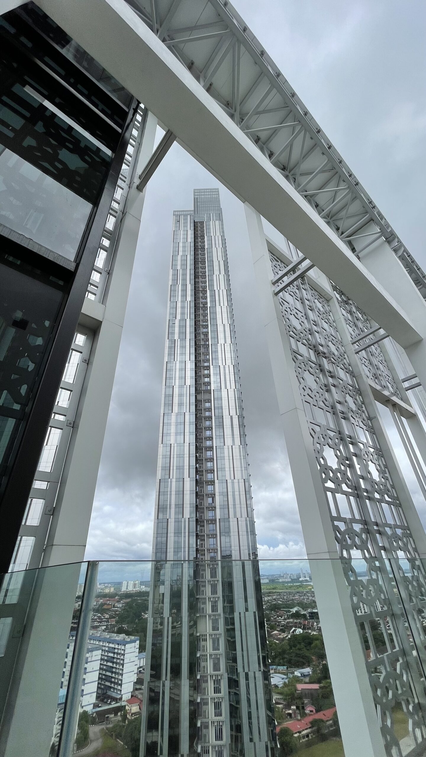
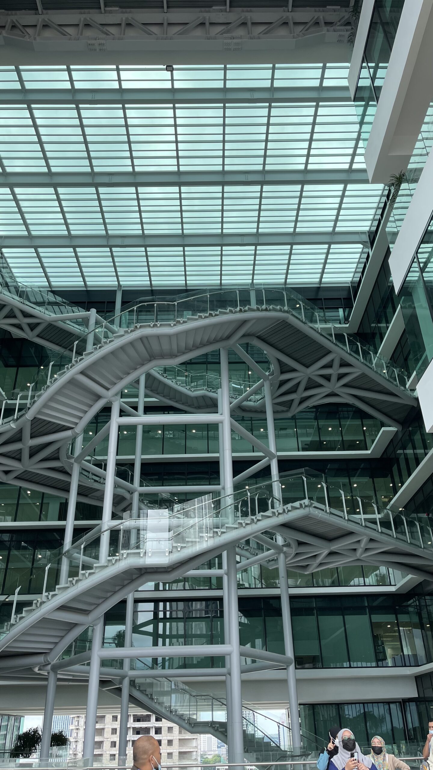
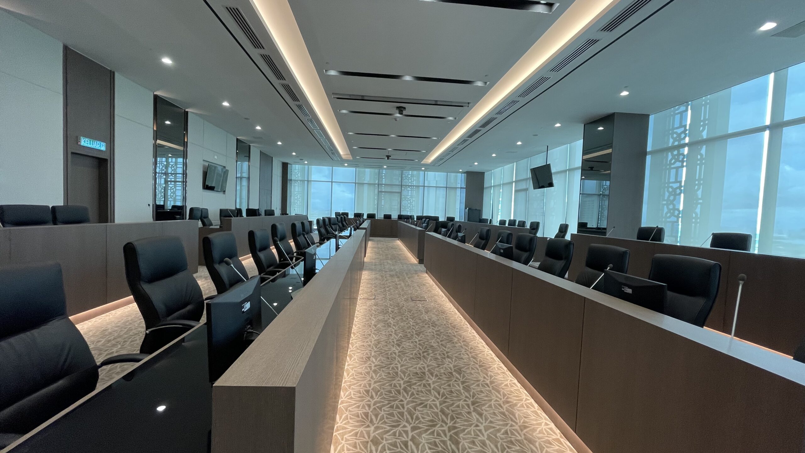
Shortly after that, I had the privilege for private tour of the newly MBJB building in Bukit Senyum. A comprehensive tour of almost every floor up to the main control room, provided by the MBJB staff themselves. MBJB’s new building is still operating according to the set SOPs.
I could not participate the workshop until the discussion in the afternoon due to there were other urgent meetings that needed to be attended. Hopefully the knowledge gained can be utilized by the MBJB.
Our new publication published. This time, we were successful in having our article published in the Journal of Information System and Technology Management (JISTM). The issue being discussed is data compatibility for BIM and GIS data in construction projects.
The journal is indexed by MyCite and counted in University’s MyRA II data. Below is the information about the journal published:
Manuscript Title: Building Information Modeling (BIM) And Geographic Information System (GIS) Data Compatibility For Construction Project Link: http://www.jistm.com/current.asm Pdf: http://www.jistm.com/PDF/JISTM-2021-24-12-26.pdf
Please feel free to forward this information along to your friends and colleagues!
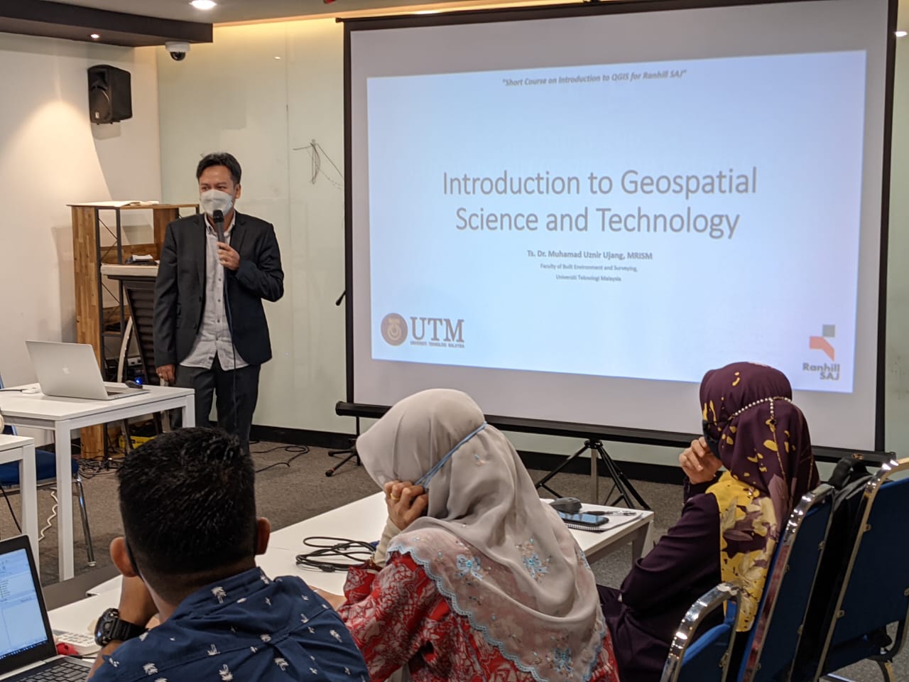
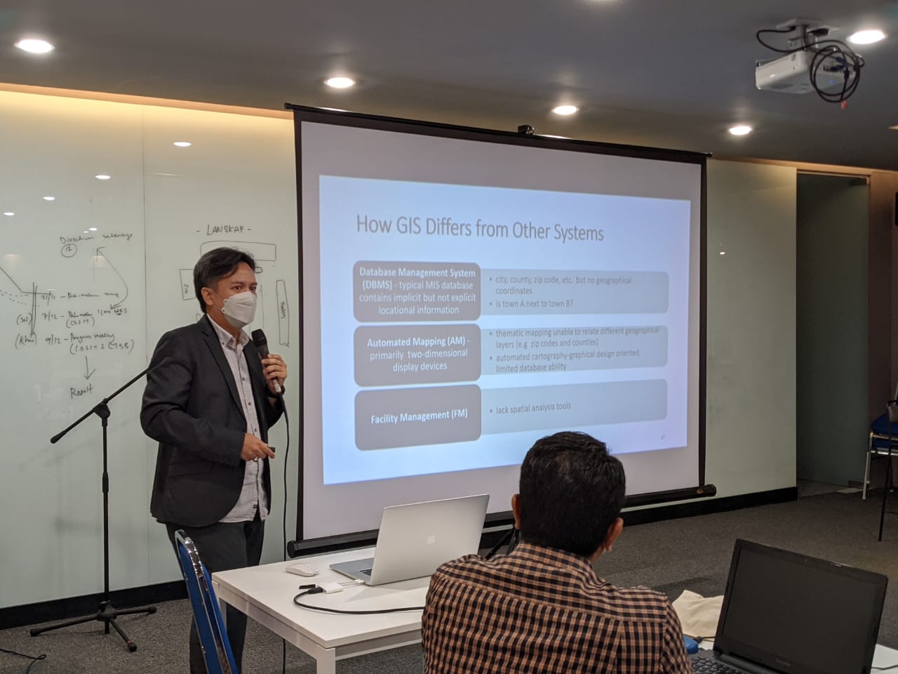
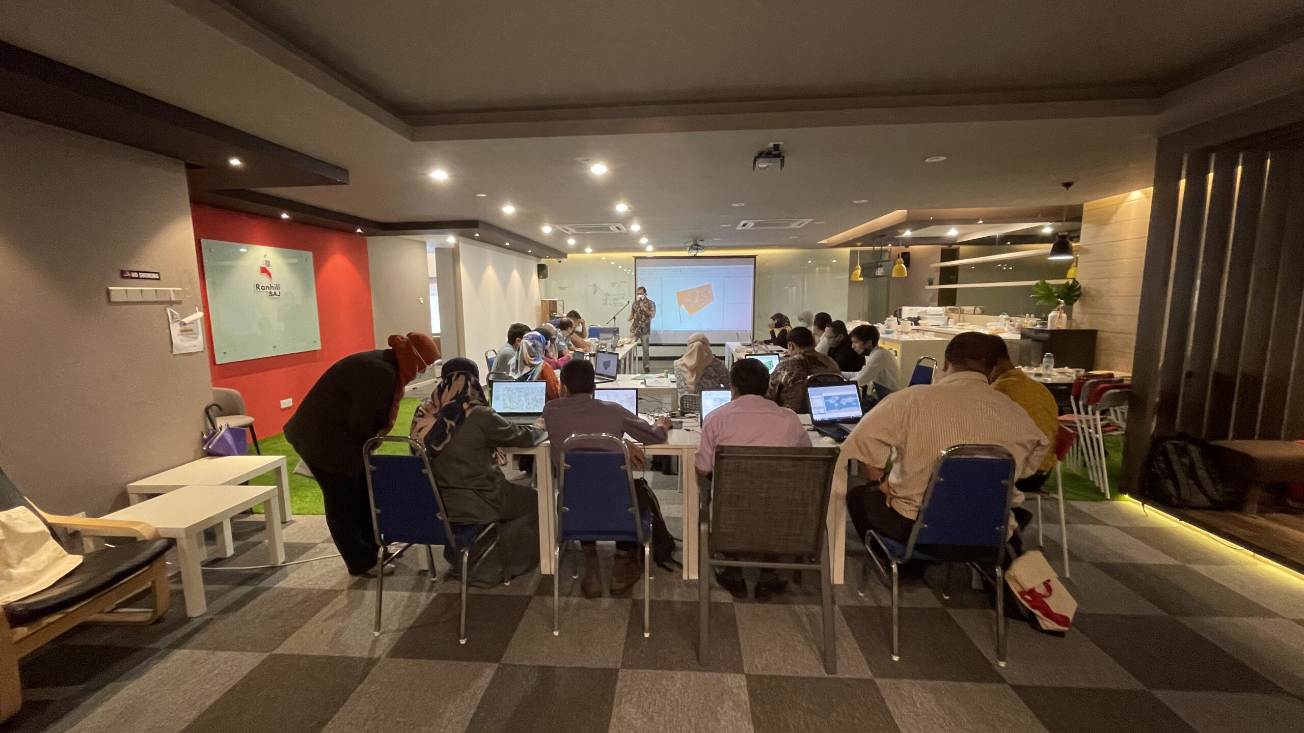
I was invited to give a lecture to the GIS staff at Ranhill SAJ. This is part of the GIS course for Ranhill SAJ staff in deepening their knowledge of Geospatial Science & Technology.
A rather big responsibility as I was the first speaker who will be giving the talk right after the inauguration of the course. In my view, it is important for GIS users to know the knowledge behind the GIS system being built. No matter how much technology will change in the future, the fundamentals of GIS will remain the same, forever.
We have published a Scopus-indexed journal in partnership with Miguel and Guillermo of eCapture3D R&D company from Spain. This article discusses the organization of unmanned aerial vehicle (UAV) data using a document-oriented database management system.
Document-oriented databases are the most recent solution being adopted commercially (e.g., by Facebook, Amazon, Google, and Netfilx) to address the problems / constraints of conventional relational database systems’ data storage.
Feel free to disseminate this with your acquaintance.
Title: Document-Oriented Data Organization for Unmanned Aerial Vehicle Outputs.
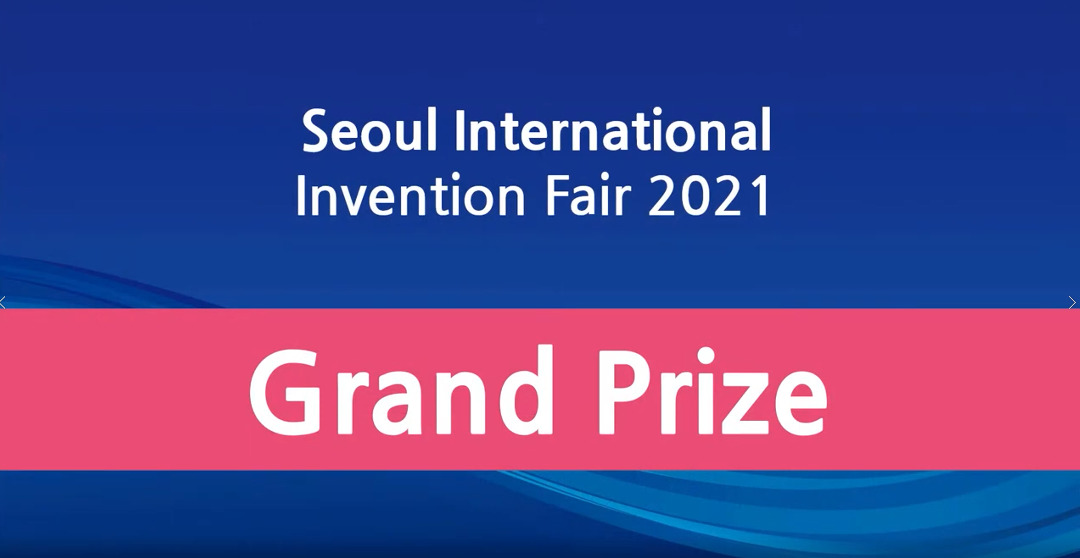
#1 GRAND PRIZE AWARD – SEOUL INTERNATIONAL INVENTION FAIR 2021
An unexpected award. My first experience to participate in this international invention competition, this product/patent has never been competed at national level (INATEX or MTE) and far away from expected to win the Grand Prize award at international level.
SIIF is hosted by the Korean Intellectual Property Office (KIPO) and organized by the Korea Invention Promotion Association (KIPA), in order to market and to promote inventions. Currently under the patronage of the City of #Seoul, the World Intellectual Property Organization – WIPO, and the IFIA-International Federation of Inventors’ Associations (IFIA) it has thus become an event where inventors and researchers from all over the world showcase new ideas and products to manufacturers, investors, distributors, licensing firms and the public.
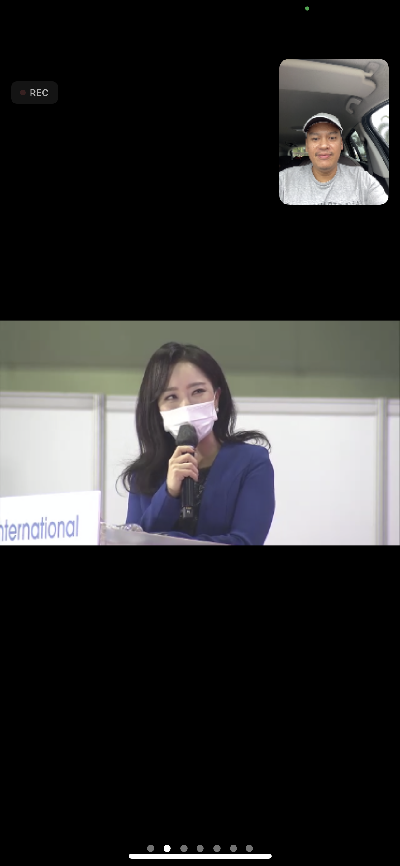
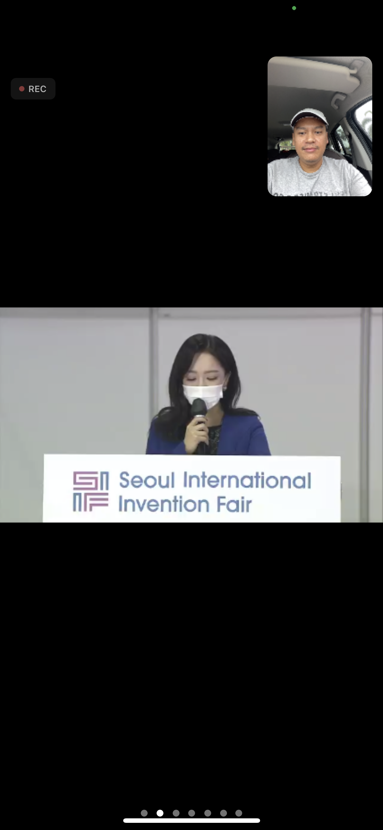
Referring to my previous writing/post, my invention is the Geoinformation-based Search and Rescue System (Geo-SAR). More than 100 participants join this event and showcase their invention. Humbly said, I would be grateful if Geo-SAR could win one of the awards like the Bronze, Silver or Gold award. Unexpectedly, Geo-SAR won the highest award in SIIF 2021.
Here are the links of the SIIF 2021 event:
2021 Seoul International Invention Fair – Grand Prize Award (https://youtu.be/sDGjd0AMd2A)
2021 Seoul International Invention Fair – Best Inventor (https://youtu.be/UbON-1vgu1k)
2021 Seoul International Invention Fair – Gold Prize Award (https://youtu.be/kWhiLraiv80)
2021 Seoul International Invention Fair – Silver Prize Award (https://youtu.be/VzctLzJZVFo)
2021 Seoul International Invention Fair – Bronze Prize Winner (https://youtu.be/5EH3sD-Nd4s)
2021 Seoul International Invention Fair – Full Event (https://youtu.be/qsNmHOKE1RM)
2021 Seoul International Invention Fair – Grand Prize Winner (MALAYSIA – Ts. Sr Dr. Uznir Ujang) – (https://youtu.be/8PvfylzrvxA)
Because this victory exceeded my expectations, the speech that was delivered was also spontaneous. I was driving when I was required to pull over to the roadside and deliver a short speech at this significant event. To the organizer, please accept my apologies for being unprepared.
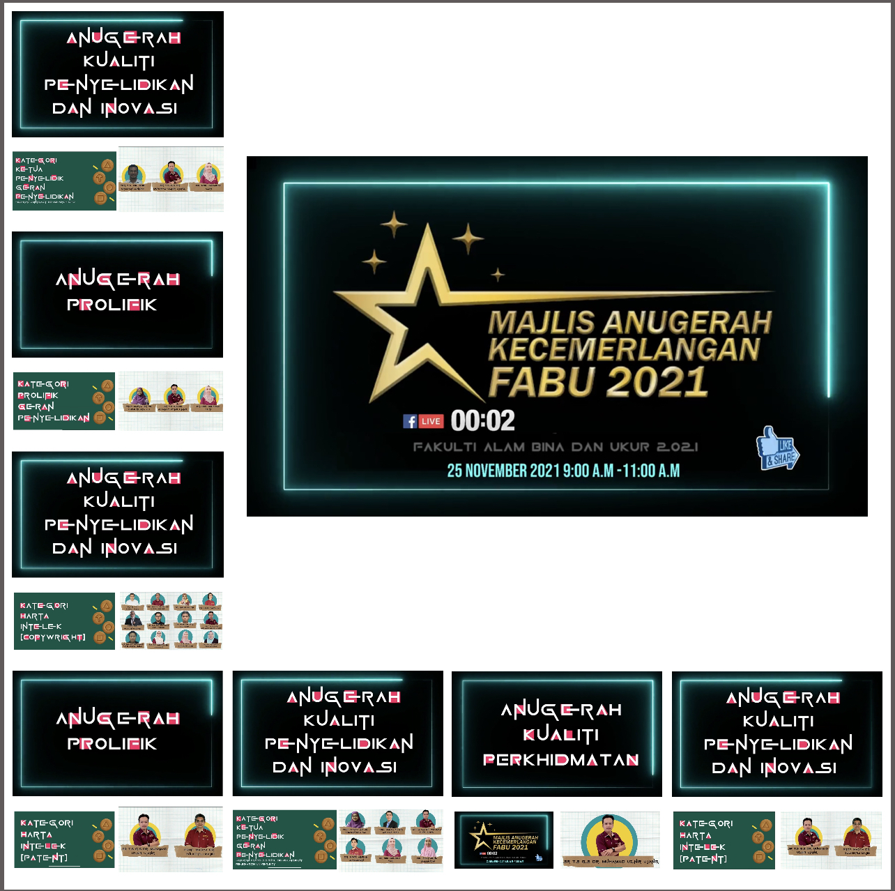
Faculty of Built Environment and Surveying Excellence Awards Ceremony 2021
Didn’t expect this. Late in the afternoon, found out that I had received seven (7) awards from the 2021 Excellence Awards Ceremony of the Faculty of Built Environment and Surveying, Universiti Teknologi Malaysia. The awards are:
1. Research and Innovation Quality Award – Intellectual Property (Patent) Category
2. Research and Innovation Quality Award – Intellectual Property Category (Copyright)
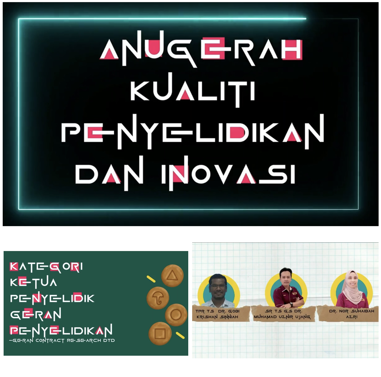
3. Research and Innovation Quality Award – Head of Research Grant Category (Industry Grant)
4. Research and Innovation Quality Award – Contract Research Grant (DTD) Category
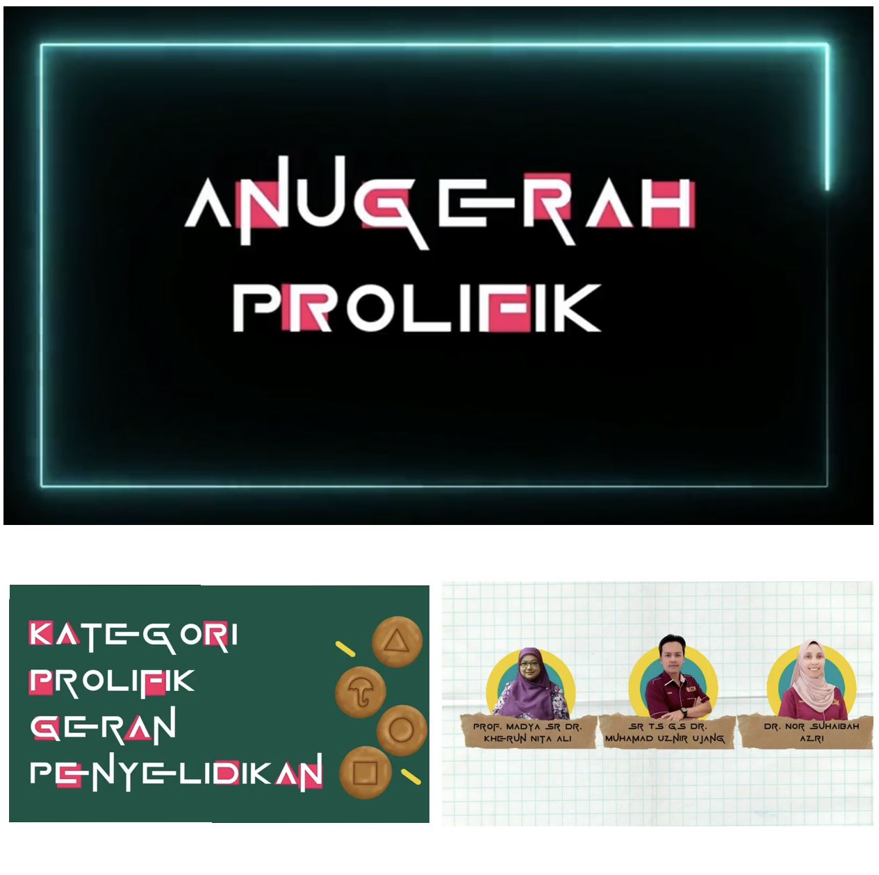
5. Prolific Award – Prolific Category of Research Grant
6. Prolific Award – Prolific Category of Intellectual Property (Patent)
7. Service Quality Award
Praise to the almighty for His plan. Many thanks to the organizer. Great event!
“Man gives you the award but God gives you the reward.” – Denzel Washington
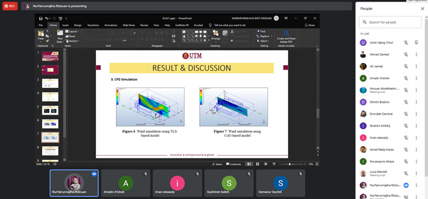
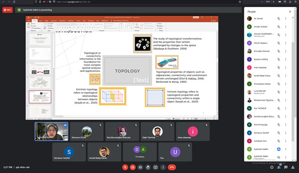
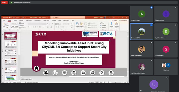
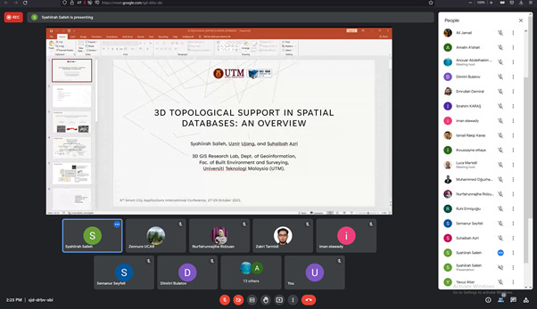
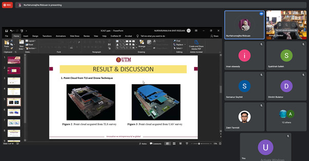
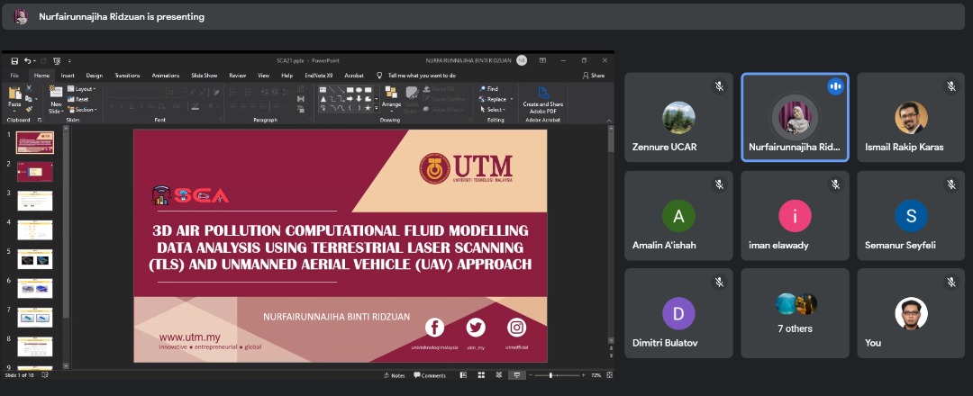
Three research papers were accepted and presented at the 6th International Conference on Smart City Applications (SCA2021) in Safranbolu, Turkey. Accepted papers will be published in a Springer or Scopus-indexed publications.
The three papers are titled as follows: 1) 3D Topological Support in Spatial Databases: An Overview 2) Modelling Immovable Asset in 3D using CityGML 3.0 Concept to Support Smart City Initiatives 3) 3D Air Pollution Computational Fluid Modelling Data Analysis Using Terrestrial Laser Scanning (TLS) And Unmanned Aerial Vehicle (UAV) Approach
As usual, I am not presenting these papers; instead, my three lucky students, Syahiirah Salleh, Fairun, and Amalin, presented the research papers. They appears to be confident during the presentation. I wish to say congratulations, and please keep up your good research work.
Thank you to the organizer for arranging this excellent conference and for giving my students with an opportunity to deliver their presentations. Appreciate it.
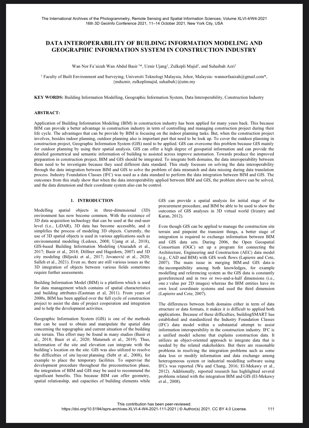
Our article was accepted for presentation at 3D Geoinfo 2021 in New York. We are the only representative of UTM’s 3D GIS Research Group to have been accepted to this conference. We are thrilled.
This article, titled “Data Interoperability of Building Information Modeling and Geographic Information Systems in the Construction Industry,” examines data interoperability challenges in the construction industry between BIM and GIS. Available for free at the following ISPRS link: https://www.int-arch-photogramm-remote-sens-spatial-inf-sci.net/XLVI-4-W4-2021/111/2021/.
Congratulations to Wan Nor Fa’aizah, my PhD student who presented the paper. Yes, I rarely present papers at conferences. Certain supervisors choose to be the presenter.
In my opinion, let this experience be given to new and young researchers, to stand up in fronts of experts, to feel nervous, stage fright and so on. I myself have been through this experience some time ago. Now is their time.
In addition to my obligations as a lecturer and researcher, I am also responsible for talent development. Having to be at the front and having my students following behind me would be pointless. Allow them to fly.