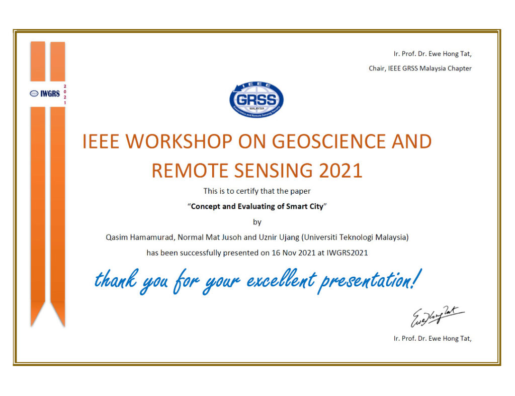
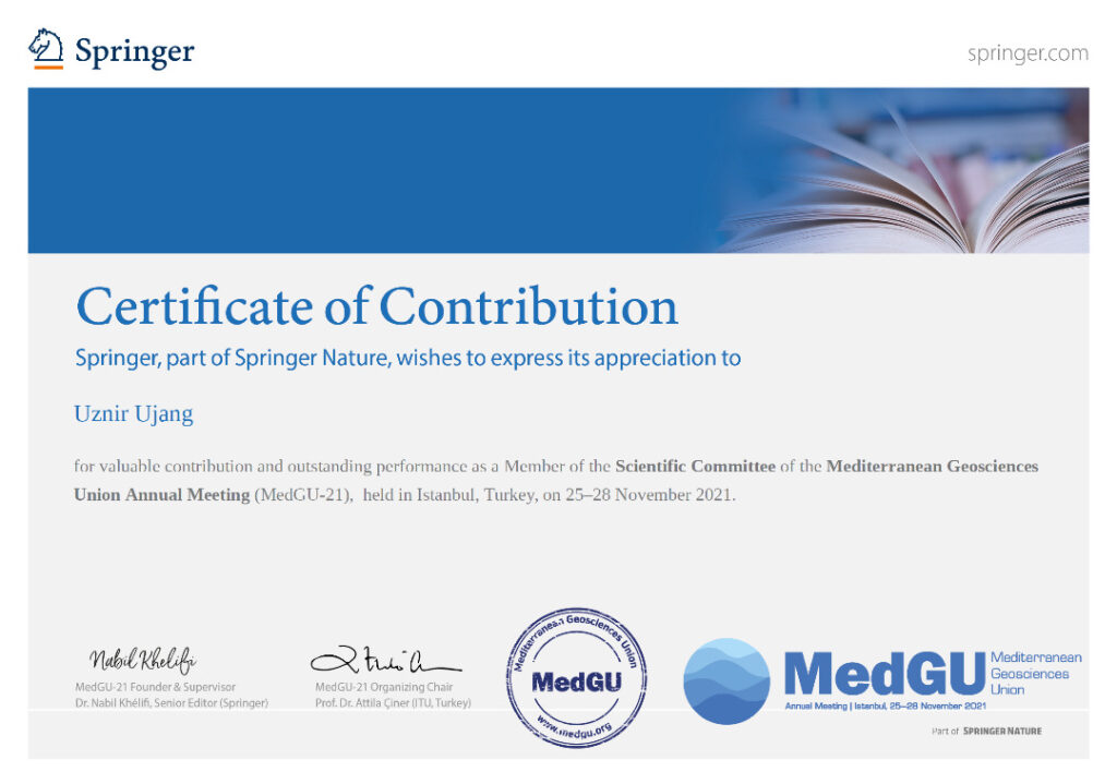
A contribution as a Member of the Scientific Committee of the Mediterranean Geosciences Union Annual Meeting (MedGU-21), which is held in Istanbul, Turkey, on 25-28 November 2021.
MedGU is a Springer, and part of Springer Nature which promotes academic and scientific research in the field of Geosciences.
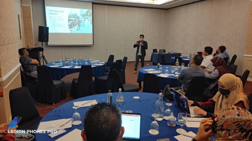
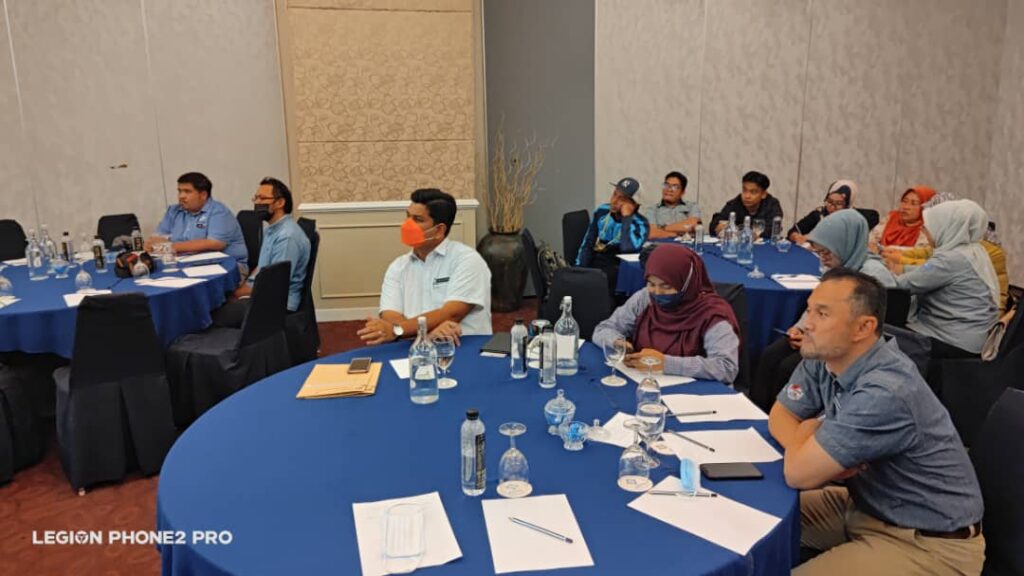
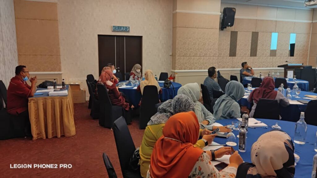
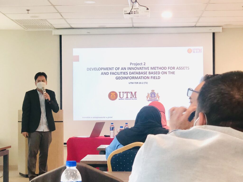
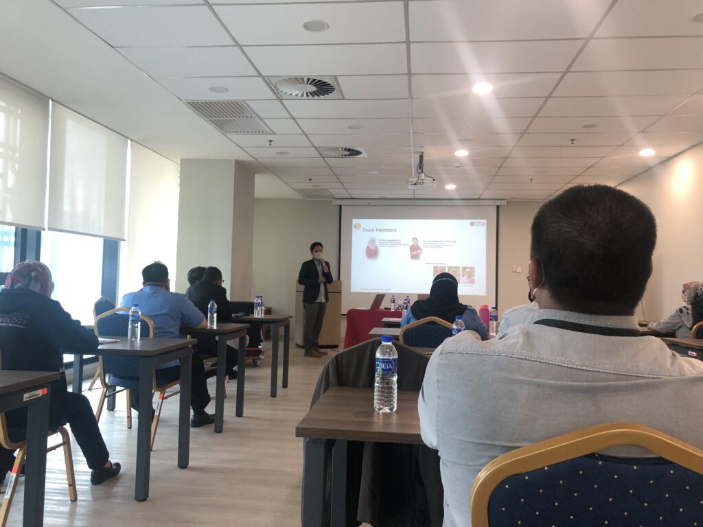
Convey some knowledge in the technology transfer program to the Johor Bahru City Council. I’ve managed to explain to them how the 3D GIS system developed can help the council’s immovable asset management process. The system is developed in accordance with national level management procedures.
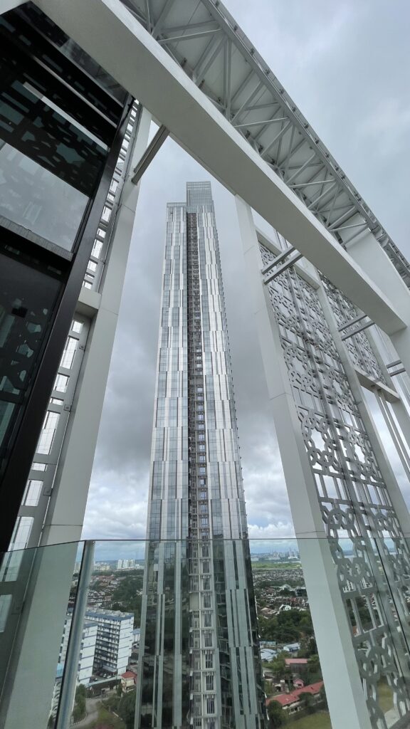
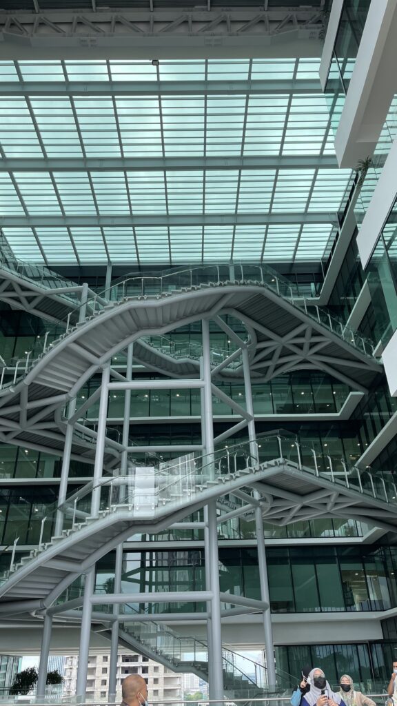
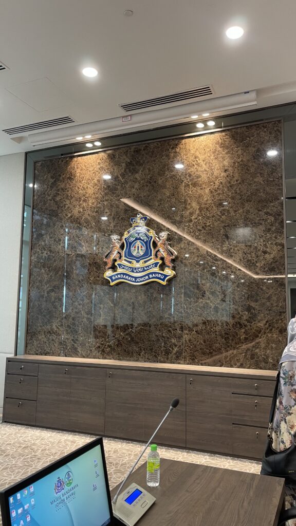
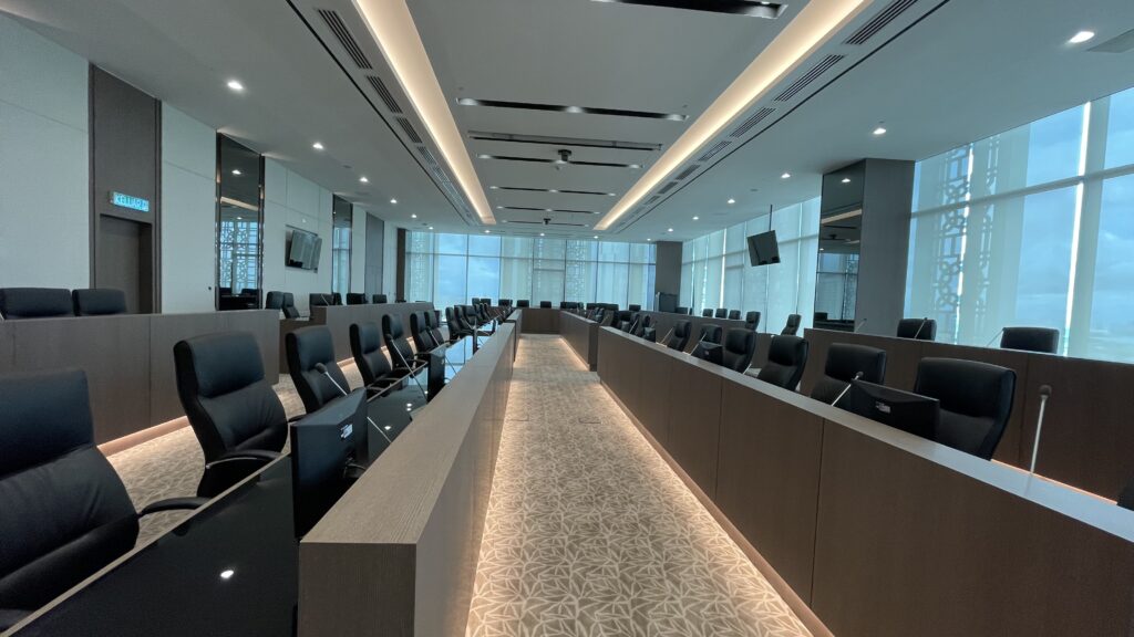
Shortly after that, I had the privilege for private tour of the newly MBJB building in Bukit Senyum. A comprehensive tour of almost every floor up to the main control room, provided by the MBJB staff themselves. MBJB’s new building is still operating according to the set SOPs.
I could not participate the workshop until the discussion in the afternoon due to there were other urgent meetings that needed to be attended. Hopefully the knowledge gained can be utilized by the MBJB.
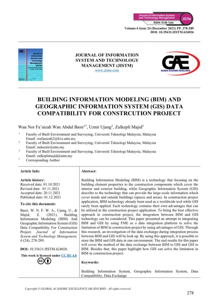
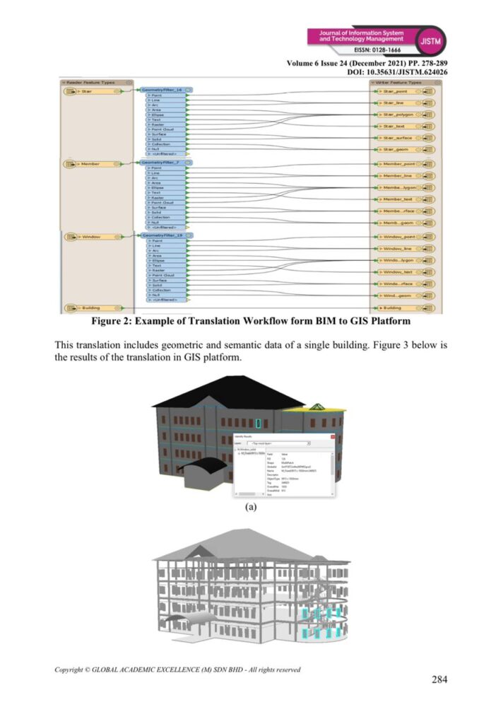
Our new publication published. This time, we were successful in having our article published in the Journal of Information System and Technology Management (JISTM). The issue being discussed is data compatibility for BIM and GIS data in construction projects.
The journal is indexed by MyCite and counted in University’s MyRA II data. Below is the information about the journal published:
Manuscript Title: Building Information Modeling (BIM) And Geographic Information System (GIS) Data Compatibility For Construction Project Link: http://www.jistm.com/current.asm Pdf: http://www.jistm.com/PDF/JISTM-2021-24-12-26.pdf
Please feel free to forward this information along to your friends and colleagues!
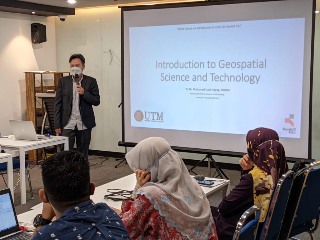
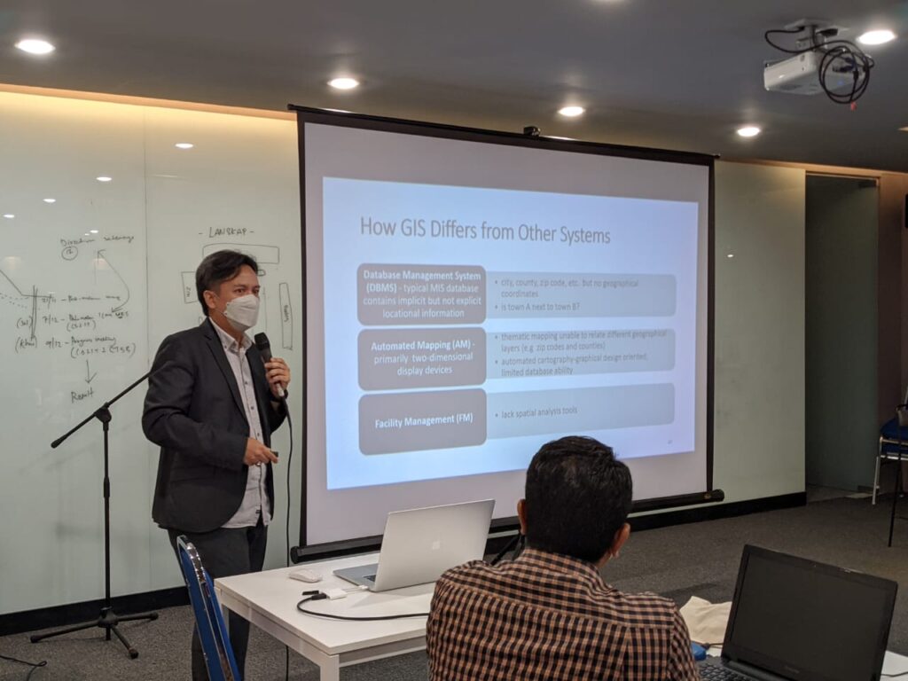
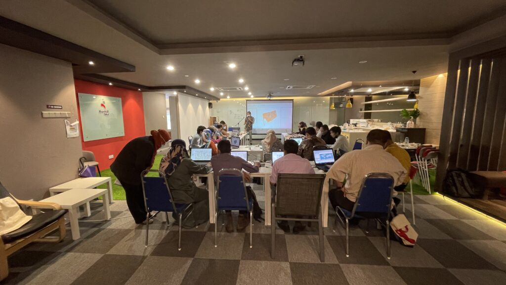
I was invited to give a lecture to the GIS staff at Ranhill SAJ. This is part of the GIS course for Ranhill SAJ staff in deepening their knowledge of Geospatial Science & Technology.
A rather big responsibility as I was the first speaker who will be giving the talk right after the inauguration of the course. In my view, it is important for GIS users to know the knowledge behind the GIS system being built. No matter how much technology will change in the future, the fundamentals of GIS will remain the same, forever.
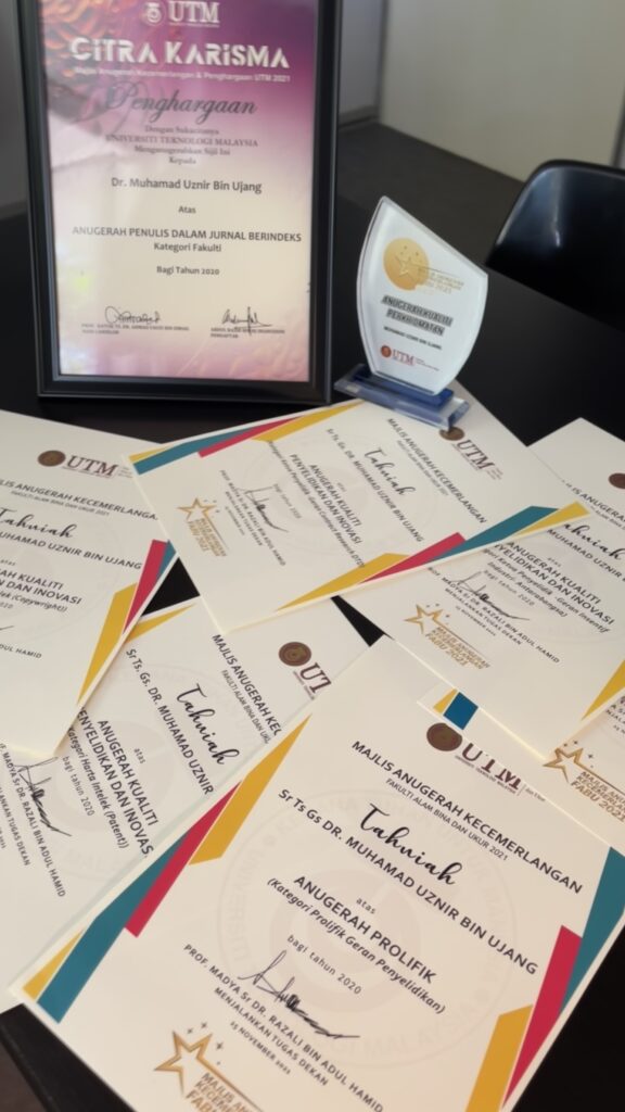
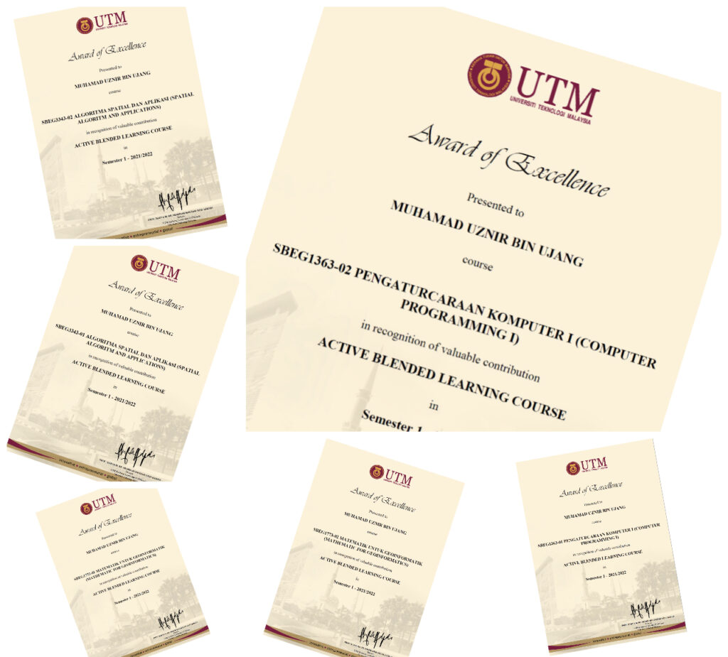
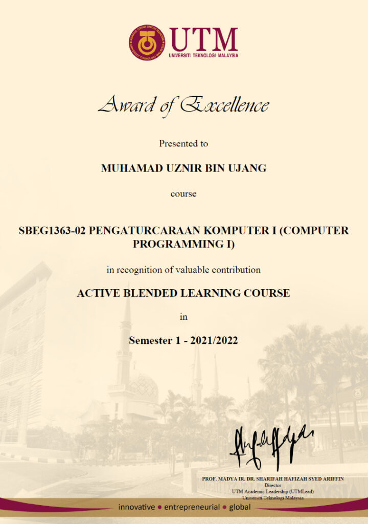
Honored to receive the excellence award for journal publication from UTM. Themed in traditional, it was conducted for the first time via online and being broadcast live. I wish to thank and congratulate the organizer for arranging this important event during the pandemic.
A fruitful discussion and positive outputs with Malaysia Board of Technologists (MBOT). As a sole Professional Technologist (Ts.) representative for my department, this meeting will bring new directions for Geospatial community in Malaysia.
Congratulations to Isa Muhammad Zumo from Adamawa, Nigeria for having his PhD defense on August 5th, 2021.
Held virtually, student is at his home country while the viva voce session is conducted according to Universiti Teknologi Malaysia local time. The session started at 2am (Nigeria time) and ended after a few hours. I believe it was a very long night for the student.
A bit of interesting info is that, at Adamawa state, it is recorded zero case for COVID-19 and there is no more rules to wear a face mask. Its an info that is quite different from what other countries are going through.
Anyway, congratulations once again to the student for passing his viva voce.
I was so excited with the involvement of students from the Geodesy program at the Malang National Institute of Technology, Indonesia. Everything went smooth with the lecture.
After the lecture, the questions from the students of the Geodesy program were very astonishing. Among the questions are:
Can GIS be applied in the field of Epidemiology?
What is the accuracy of the data required for a GIS system?
Can GIS help in crime analysis works?
How is geodesy handy in GIS?
Is it possible that GIS can be used at the national level?
Can GIS be used for forestry?
What about GIS with air traffic control management?
The answer is yes. I explain by showing real examples that happens in Malaysia as well as my own experience of involvement in those areas.
Thank you to the excellent students from the institute who asked these questions. The names of the students were Jose, Alexandra, Rashid, Aninda, and Gose (sorry I can’t remember the rest).
Keep on going learning new knowledge. Hopefully we have the opportunity to meet here in UTM.
MALANG NATIONAL INSTITUTE OF TECHNOLOGY, INDONESIA – LECTURE SERIES
Sharing an info. I have been invited to deliver a lecture series on Geographic Information Science (GIS) at Malang National Institute of Technology, Indonesia.
The interesting thing about the pandemic is that we don’t need a passport or air tickets to travel. Everything is virtual.
Thank you to the organizing committee for inviting and giving me the opportunity to share some of the knowledge I have to the geodesy students there.
“Sharing is good, and with digital technology, sharing is easy.” – Richard Stallman
myBantu map have recorded thousands of data that have been submitted by individuals in need. But it is believed that there are locations that received assistance but is not been edited (updated).
Therefore, the myBantu map will go through a data updating process to avoid duplication of assistance. Since this update process is done in batches, there is a possibility that there will be locations marked as “received assistance”, but it is otherwise. Double check is needed.
Individual who are in needs, make yourself visible by filling out the myBantu form https://arcg.is/1mK5zn0
NGO or individuals who wish to give a hand, you may refer to the myBantu map https://bit.ly/3qH04qu