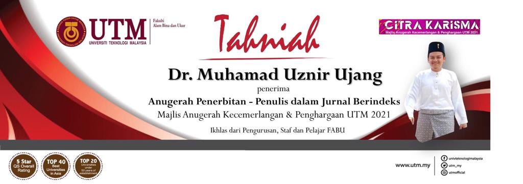
Honored to receive the excellence award for journal publication from UTM. Themed in traditional, it was conducted for the first time via online and being broadcast live. I wish to thank and congratulate the organizer for arranging this important event during the pandemic.
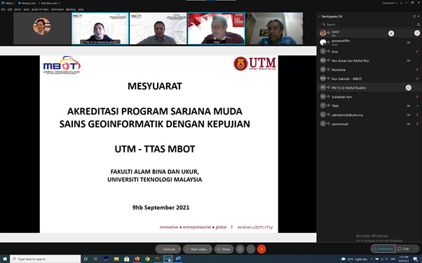
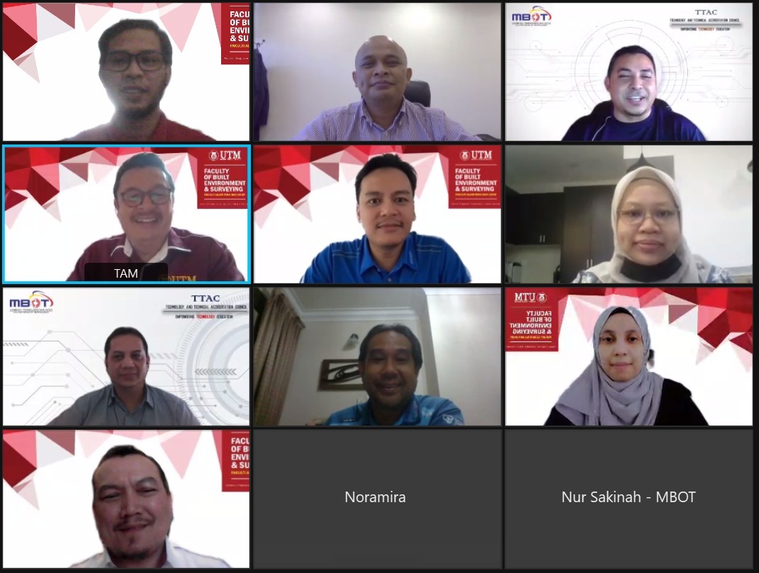
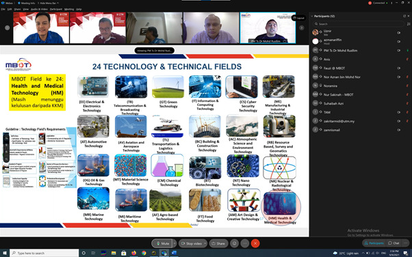
A fruitful discussion and positive outputs with Malaysia Board of Technologists (MBOT). As a sole Professional Technologist (Ts.) representative for my department, this meeting will bring new directions for Geospatial community in Malaysia.
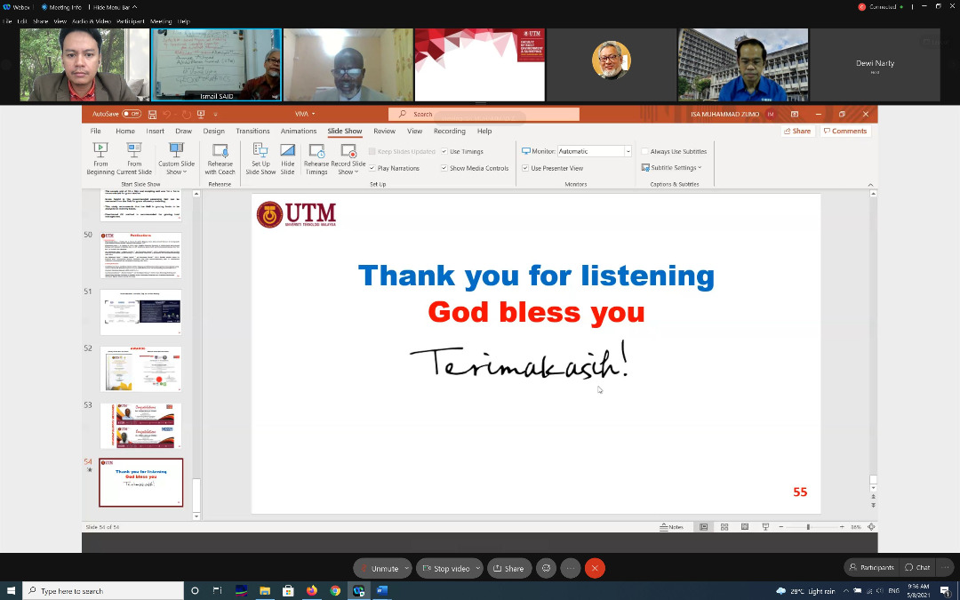
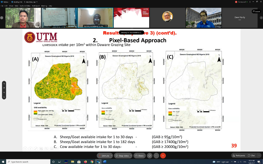
Congratulations to Isa Muhammad Zumo from Adamawa, Nigeria for having his PhD defense on August 5th, 2021.
Held virtually, student is at his home country while the viva voce session is conducted according to Universiti Teknologi Malaysia local time. The session started at 2am (Nigeria time) and ended after a few hours. I believe it was a very long night for the student.
A bit of interesting info is that, at Adamawa state, it is recorded zero case for COVID-19 and there is no more rules to wear a face mask. Its an info that is quite different from what other countries are going through.
Anyway, congratulations once again to the student for passing his viva voce.
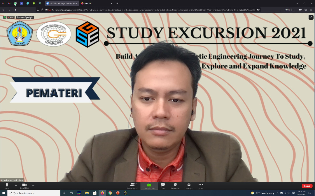
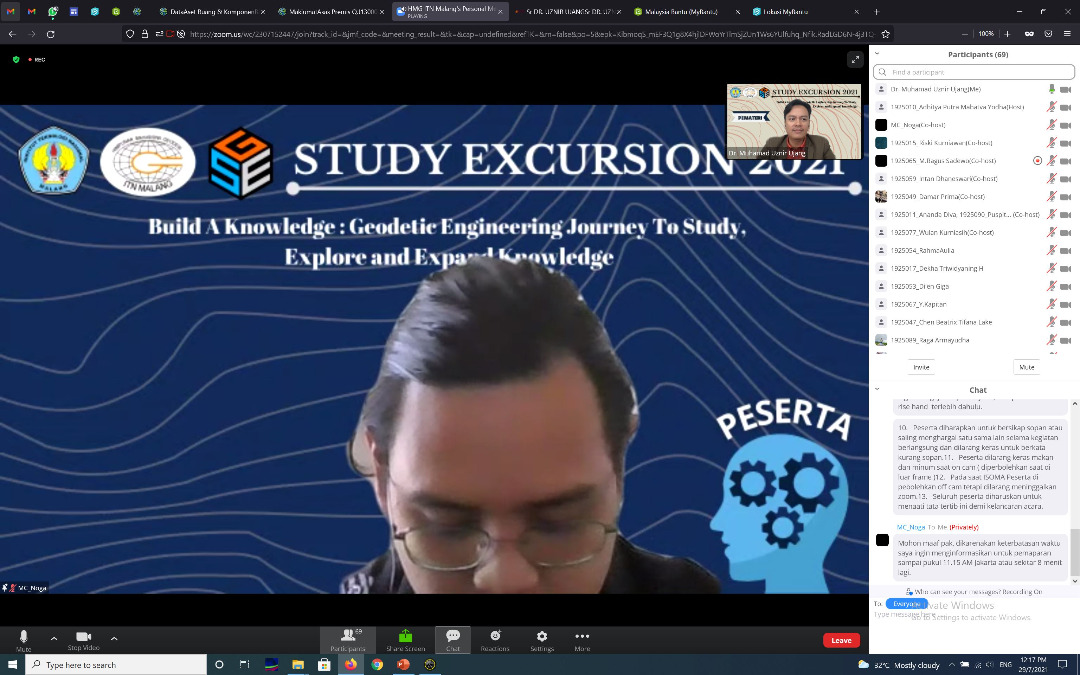
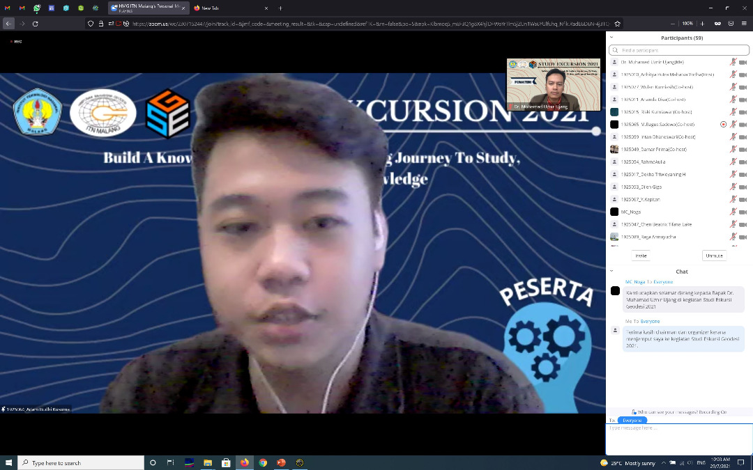
I was so excited with the involvement of students from the Geodesy program at the Malang National Institute of Technology, Indonesia. Everything went smooth with the lecture.
After the lecture, the questions from the students of the Geodesy program were very astonishing. Among the questions are:
Can GIS be applied in the field of Epidemiology?
What is the accuracy of the data required for a GIS system?
Can GIS help in crime analysis works?
How is geodesy handy in GIS?
Is it possible that GIS can be used at the national level?
Can GIS be used for forestry?
What about GIS with air traffic control management?
The answer is yes. I explain by showing real examples that happens in Malaysia as well as my own experience of involvement in those areas.
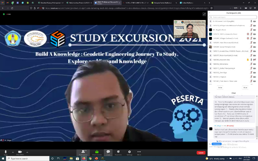
Thank you to the excellent students from the institute who asked these questions. The names of the students were Jose, Alexandra, Rashid, Aninda, and Gose (sorry I can’t remember the rest).
Keep on going learning new knowledge. Hopefully we have the opportunity to meet here in UTM.
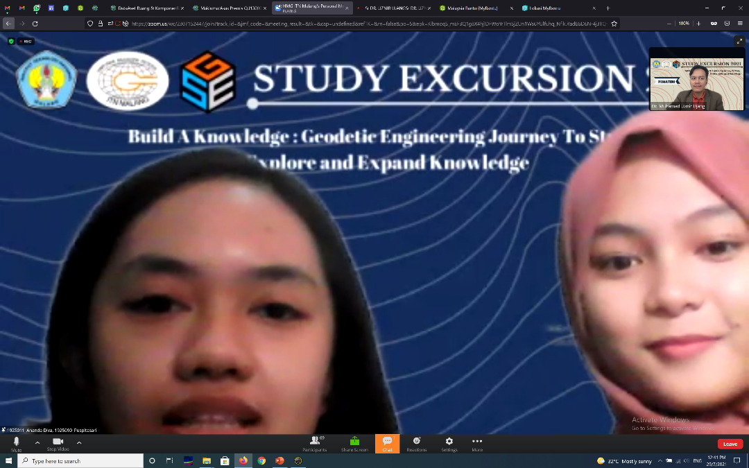
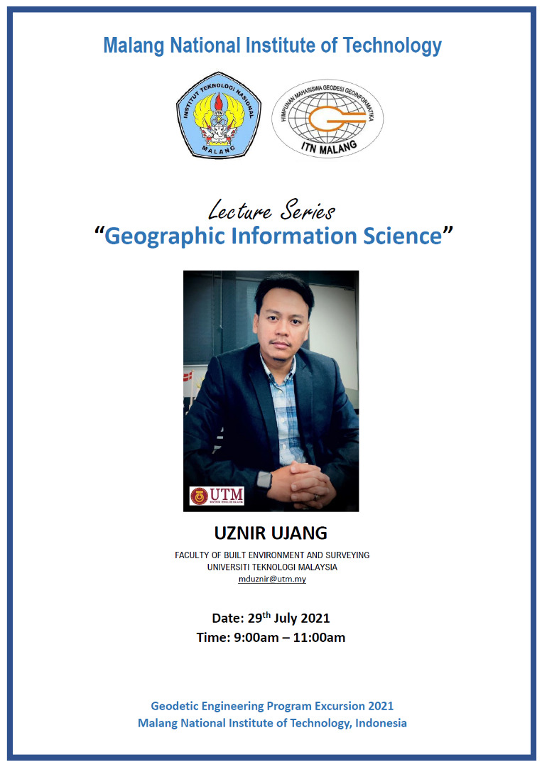
MALANG NATIONAL INSTITUTE OF TECHNOLOGY, INDONESIA – LECTURE SERIES
Sharing an info. I have been invited to deliver a lecture series on Geographic Information Science (GIS) at Malang National Institute of Technology, Indonesia.
The interesting thing about the pandemic is that we don’t need a passport or air tickets to travel. Everything is virtual.
Thank you to the organizing committee for inviting and giving me the opportunity to share some of the knowledge I have to the geodesy students there.
“Sharing is good, and with digital technology, sharing is easy.” – Richard Stallman
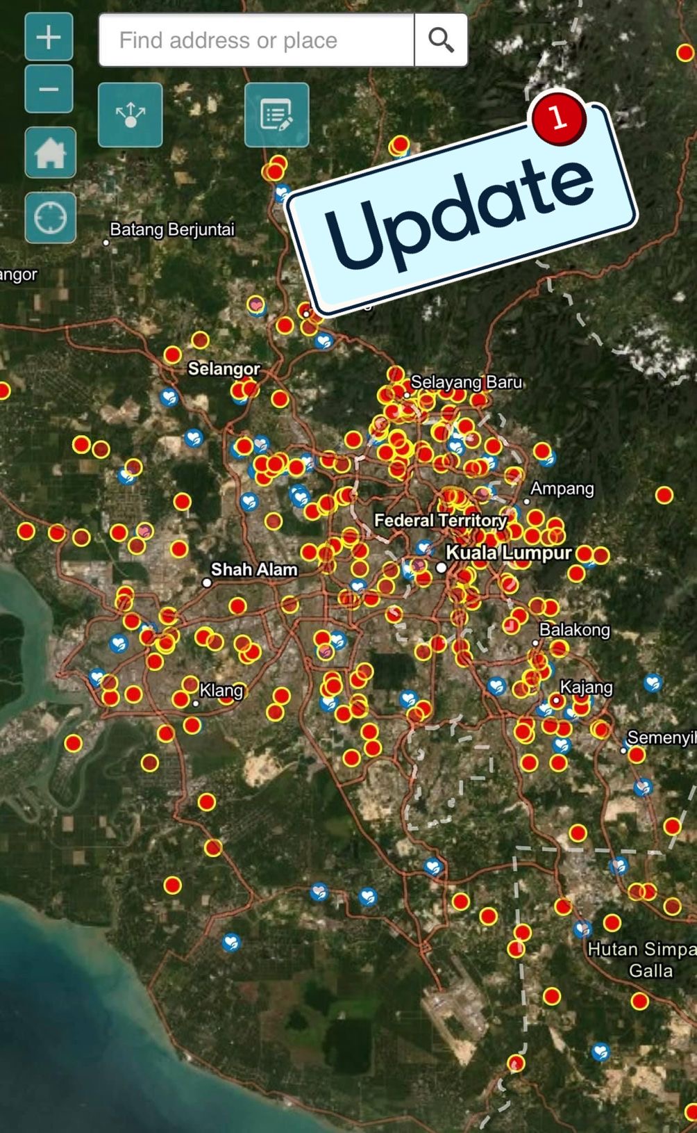
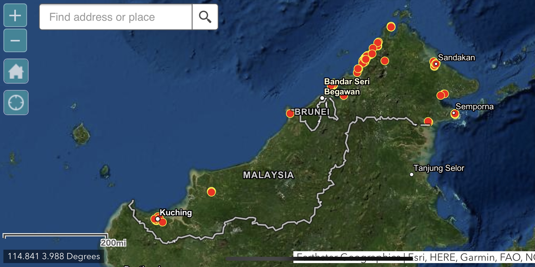
myBantu map have recorded thousands of data that have been submitted by individuals in need. But it is believed that there are locations that received assistance but is not been edited (updated).
Therefore, the myBantu map will go through a data updating process to avoid duplication of assistance. Since this update process is done in batches, there is a possibility that there will be locations marked as “received assistance”, but it is otherwise. Double check is needed.
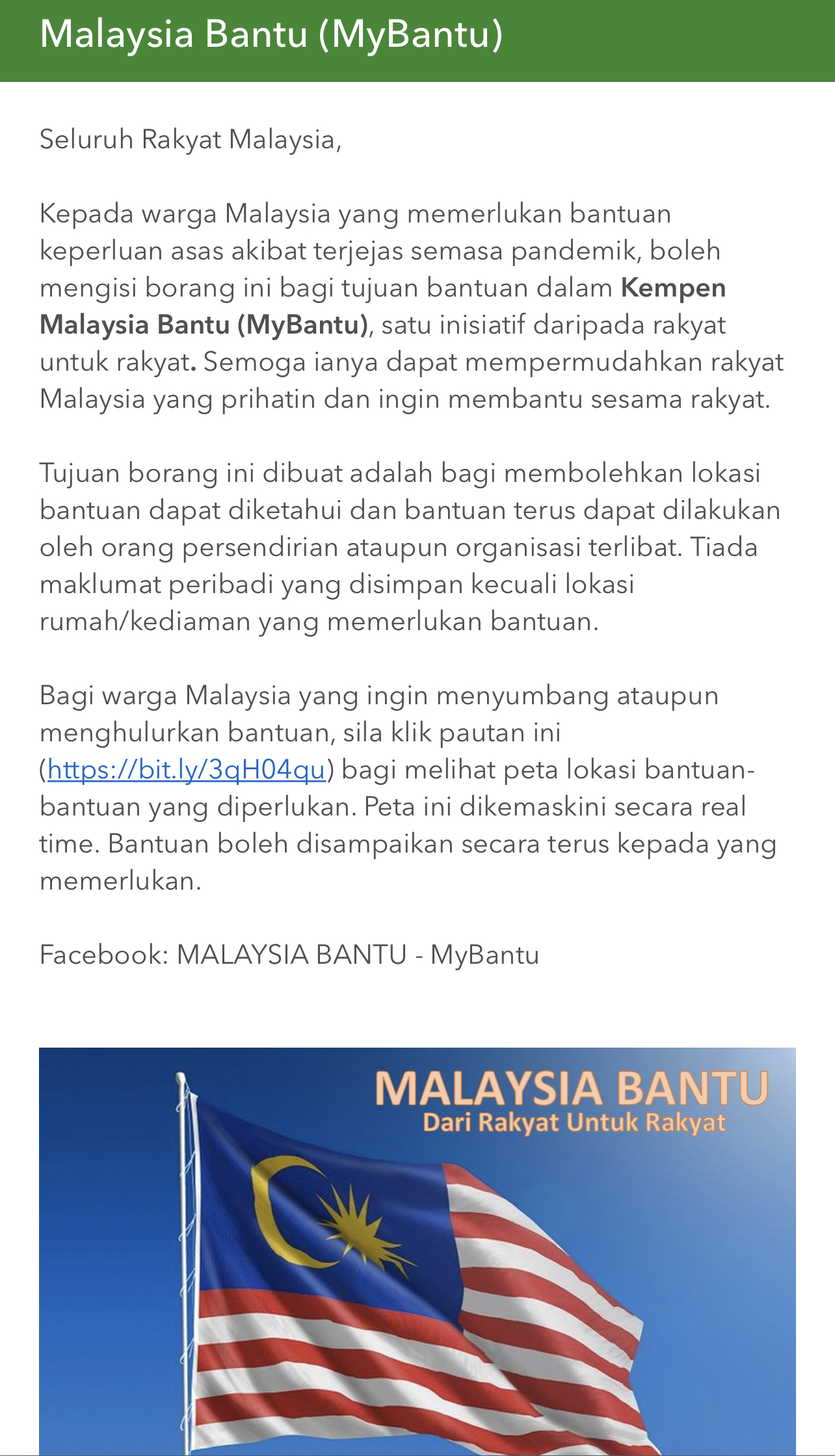
Individual who are in needs, make yourself visible by filling out the myBantu form https://arcg.is/1mK5zn0
NGO or individuals who wish to give a hand, you may refer to the myBantu map https://bit.ly/3qH04qu
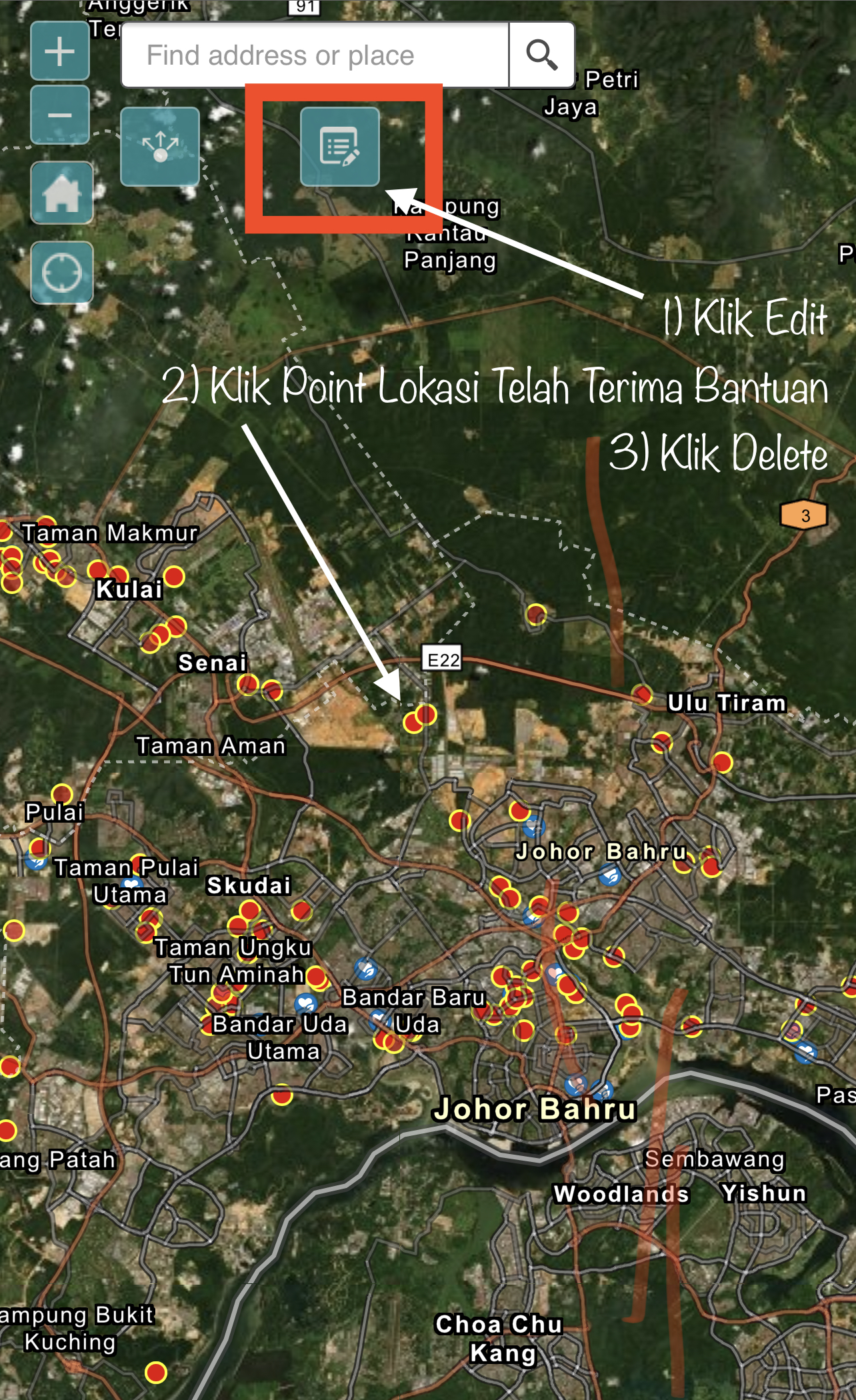
Since myBantu map received a lot of assistance from NGOs as well as individuals, and to avoid duplication of assistance, you can delete the assistance location on the myBantu map. Here’s how:
1. Click ‘Edit’
2. Click on the location point where you have received assistance
3. Then click ‘Delete’. That’s all.
The map will be updated in real time. Do refer to the picture below.
To Malaysians who need assistance with basic needs as a result of being affected during the pandemic, can fill out this form (https://arcg.is/1mK5zn0).
For those who want to channel donations, you can check the myBantu map which shows the location of individuals who need help. Click here https://bit.ly/3qH04qu.
In my busy schedule as an academician, I have managed to find myself time to create a web-app to help individuals affected by this COVID-19 pandemic (i.e: income, employment, etc.).
This web-apps show the locations of individuals who need such help. This information is filled in by the people themselves, and any NGO or individual can see the location where assistance can be extended. Update in real-time.
Starting with 10 data points, it has now reached more than 500 point locations that have been entered in the myBantu map (July 7th). Many NGOs have also managed to provide assistance at the locations on this myBantu map.
Sorry if the web-app is not “fancy”, I am not a web design expert but as long as the objective can be achieved, why not give it a try.
This web-app can be accessed using the myBantu map link https://bit.ly/3qH04qu. If you need or know anyone who needs help, fill out the individual information through this form https://arcg.is/1mK5zn0.
I pin this story here as my personal-event memory.
EXTERNAL PHD EXAMINER AT AZMAN HASHIM INTERNATIONAL BUSINESS SCHOOL
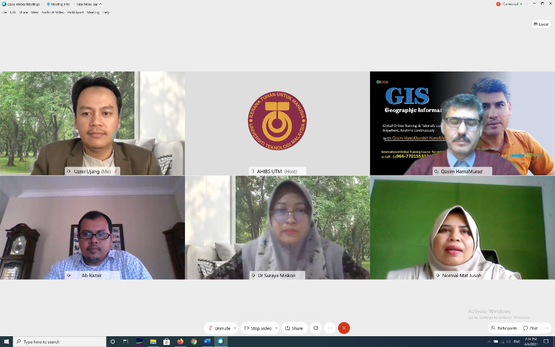
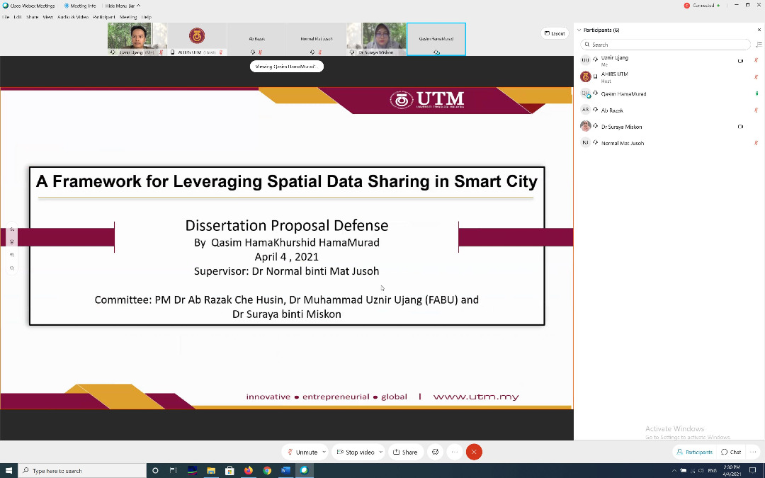
Opportunity to be as an external examiner for PhD student named Hama Qasim Hama Qushid from Iran. Qasim is a student at Azman Hashim International Business School (AHIBS). I was also informed after the defense session that Qasim is also a consultant who is actively involved in GIS-related work in his country.
The topic of his research is on spatial data sharing for smart cities in Malaysia. Quite an interesting topic. But in reality it is not a straightforward research if the research scope is not well defined. I love to help and give suggestions to improve his research and to make it achievable. In fact, this will benefit geospatial data sharing in Malaysia.