
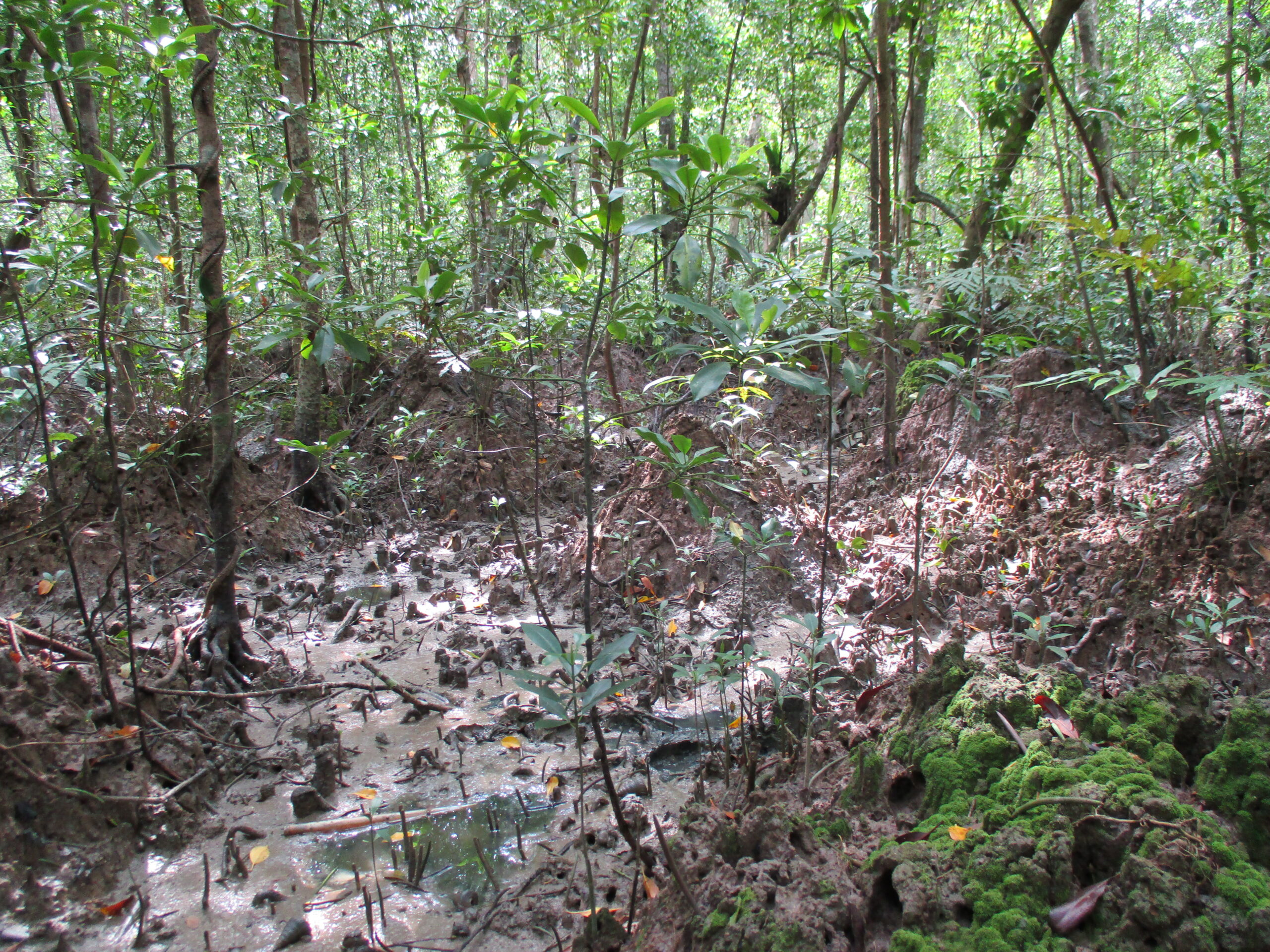
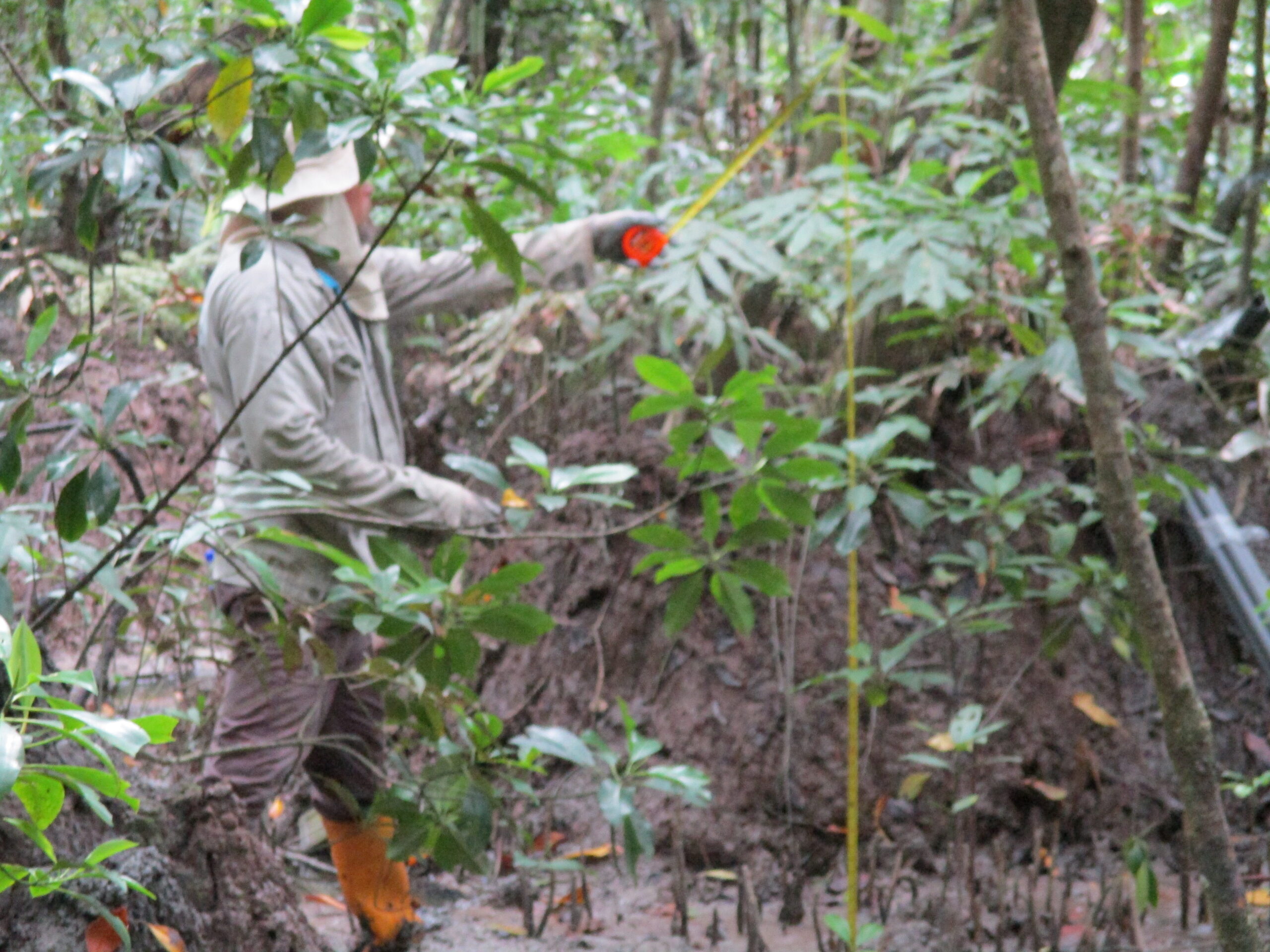
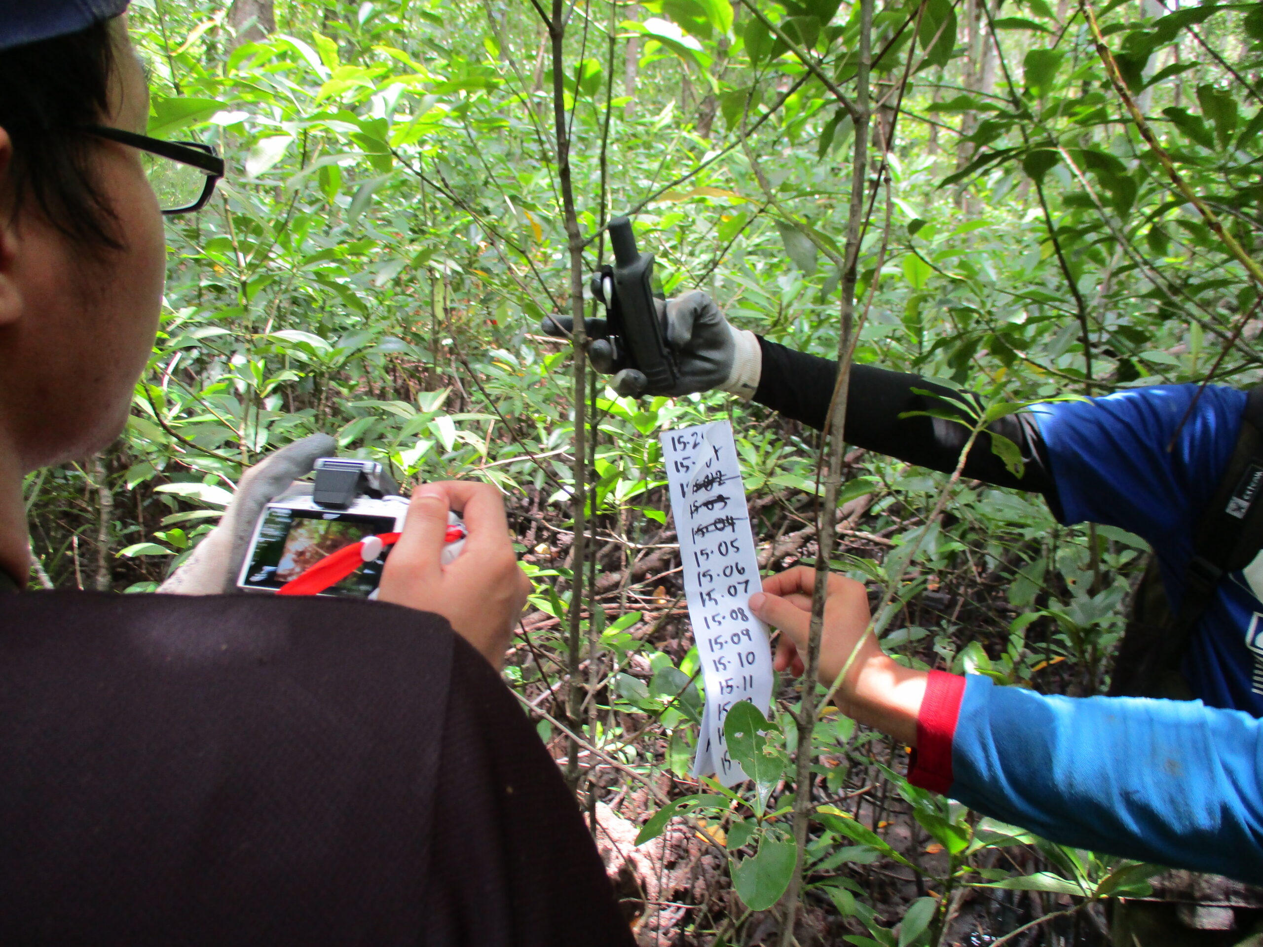
Pulau Kukup has been chosen for data collection because of it is known as high-density mangrove species in a total area 6.47 km2 of wetland. Before data collection, Pulau Kukup map was analysed using ArcGIS software. The island has been divided into four quadrant and each quadrant contained 10 random distributed plots to acquire the coordinate. This fieldwork was done from 30th September until 6th October 2020 and involved seven peoples and also a party from Perbadanan Taman Negara Johor (PTNJ). While PTNJ acts as a guide as long as we are on the island. The level of growth of mangrove which is sapling will be identified and recorded within 10m x 10m plot on the acquired coordinate. Identified mangrove saplings within the plot will be pick based on a range height between 1.3-4 m. The tree characteristics such as circumference, height, species and coordinate locations are recorded for further analyses. The picture was also taken for respective parts of sapling which are leaves, roots and trunk. Approximately one kilogram of the soil sample is collected for each sediment sample point and also one kilogram at 0.5 – 1.0 m depth in each plot.
 |
 |
 |
 |
 |
 |
 |
 |
 |
 |
 |
 |