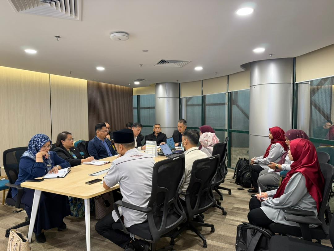
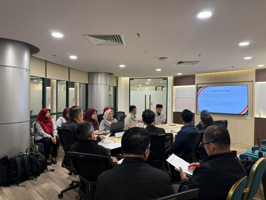
As an intense September filled with academic deadlines, back-to-back programs, and strategic meetings finally began to wind down, an exciting new assignment came my way. Representing my Head of Department, I had the privilege of attending the Mesyuarat Teknikal Penerbitan Atlas Kebangsaan at Wisma JUPEM, Kuala Lumpur. Spearheaded by JUPEM’s Bahagian Kartografi dan GIS, this technical meeting marked a crucial first step toward a landmark national project.
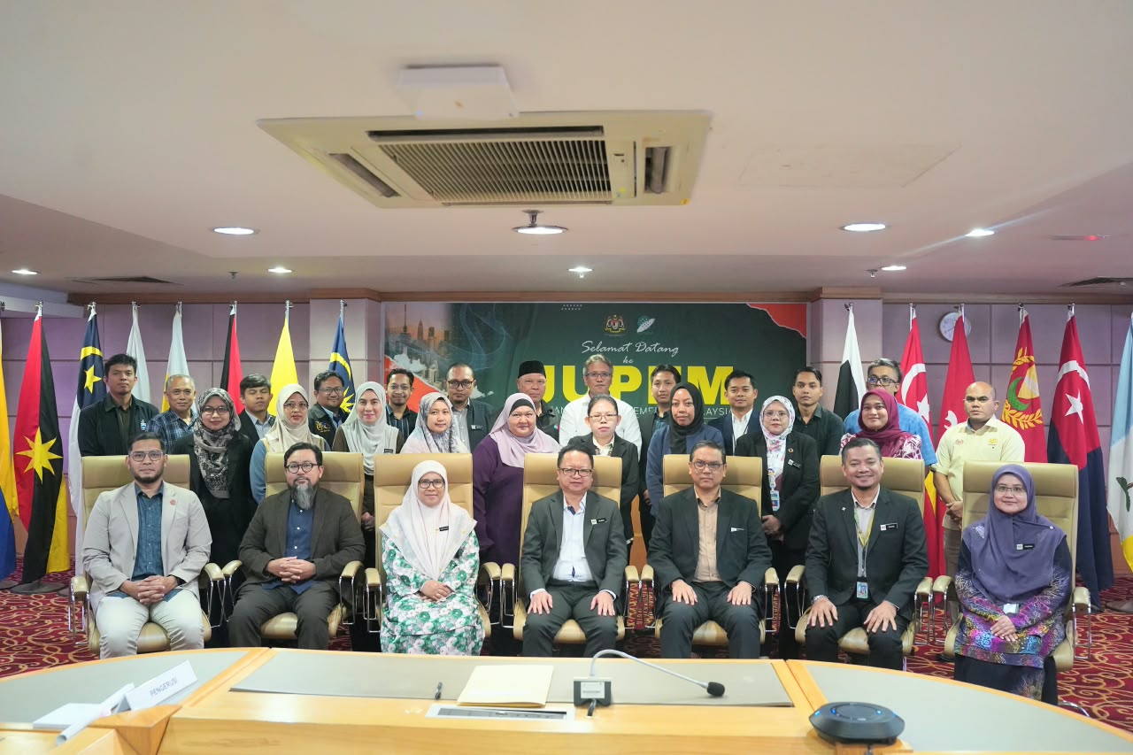
Bringing together around 25 key representatives from various federal government ministries, Sabah and Sarawak state agencies, and higher education institutions, the session served as the official kickoff for the design and development of Malaysia’s new National Atlas. The existing atlas was last published in 2016—with minor amendments in 2022—making it a decade old. In an era of rapid physical, environmental, and socio-economic transformation, updating this master publication is vital to accurately reflect our nation’s evolving spatial landscape.
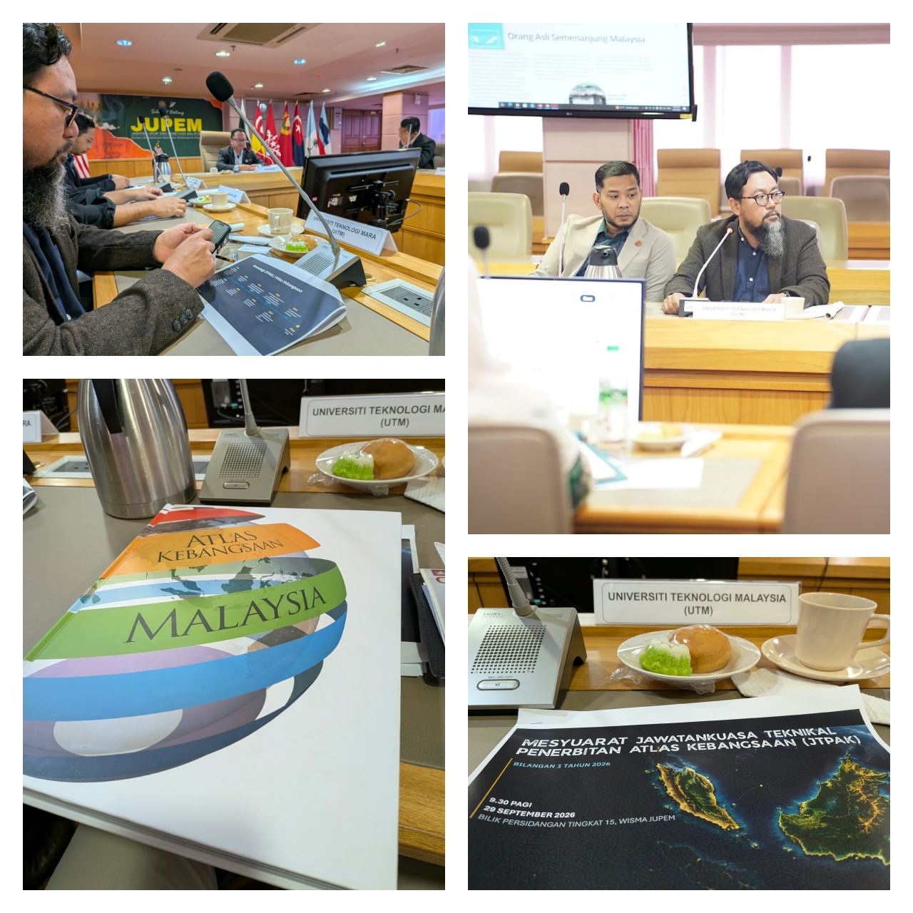
Developing a comprehensive National Atlas is a massive collaborative undertaking. It relies heavily on inter-agency synergy, as each organization holds specialized, up-to-date datasets that must be integrated, refined, and standardized before publication. It is a privilege for academia to play a active role in this strategic initiative, and I look forward to contributing toward a modern, authoritative National Atlas that will serve decision-makers, researchers, and the public for years to come.
#NationalAtlas #JUPEM #Cartography #GIS #Geospatial #UTM #FABU #HigherEducation #SpatialData #MappingMalaysia #AcademicLife