GIS AND DATA SCIENCE – A TWO SIDES OF THE SAME COIN
GIS and Data Science are essentially the same at their core, both involve analyzing and extracting insights from data.
The difference? GIS takes it a step further by adding location to the mix, transforming data into spatial data.
This extra layer of location allows us to visualize patterns, make more informed decisions, and solve complex challenges related to geography, urban planning, environment, and much more.
In other words, GIS = Data Science + Location, unlocking endless possibilities for spatial analysis.
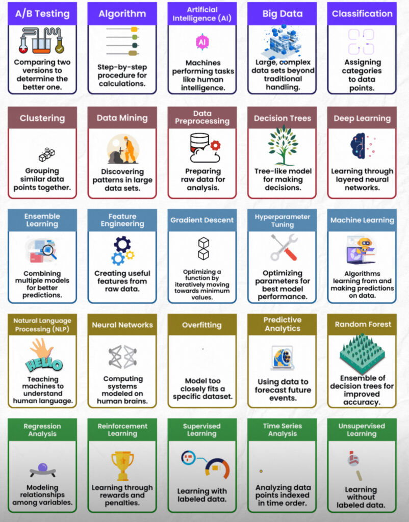
Ready to explore how spatial data enhances traditional data analysis? Dive into these key data science terms that drive both fields forward!
