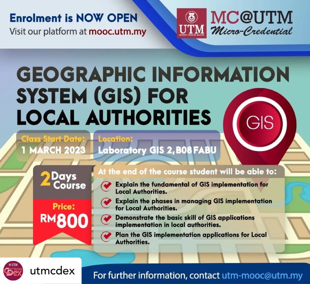
I am delighted to announce our latest course, Geographic Information System (GIS) for Local Authorities.
GIS is a geographic information system, which is an important part of Geo-spatial technology. It has wide applications in local authorities areas.
You are expected to learn the basic knowledge of GIS and the basics of GIS implementation in local authorities. Participants can also put their newfound knowledge to use right away by implementing GIS applications in local authorities.
If you are interested to join the course, register here:
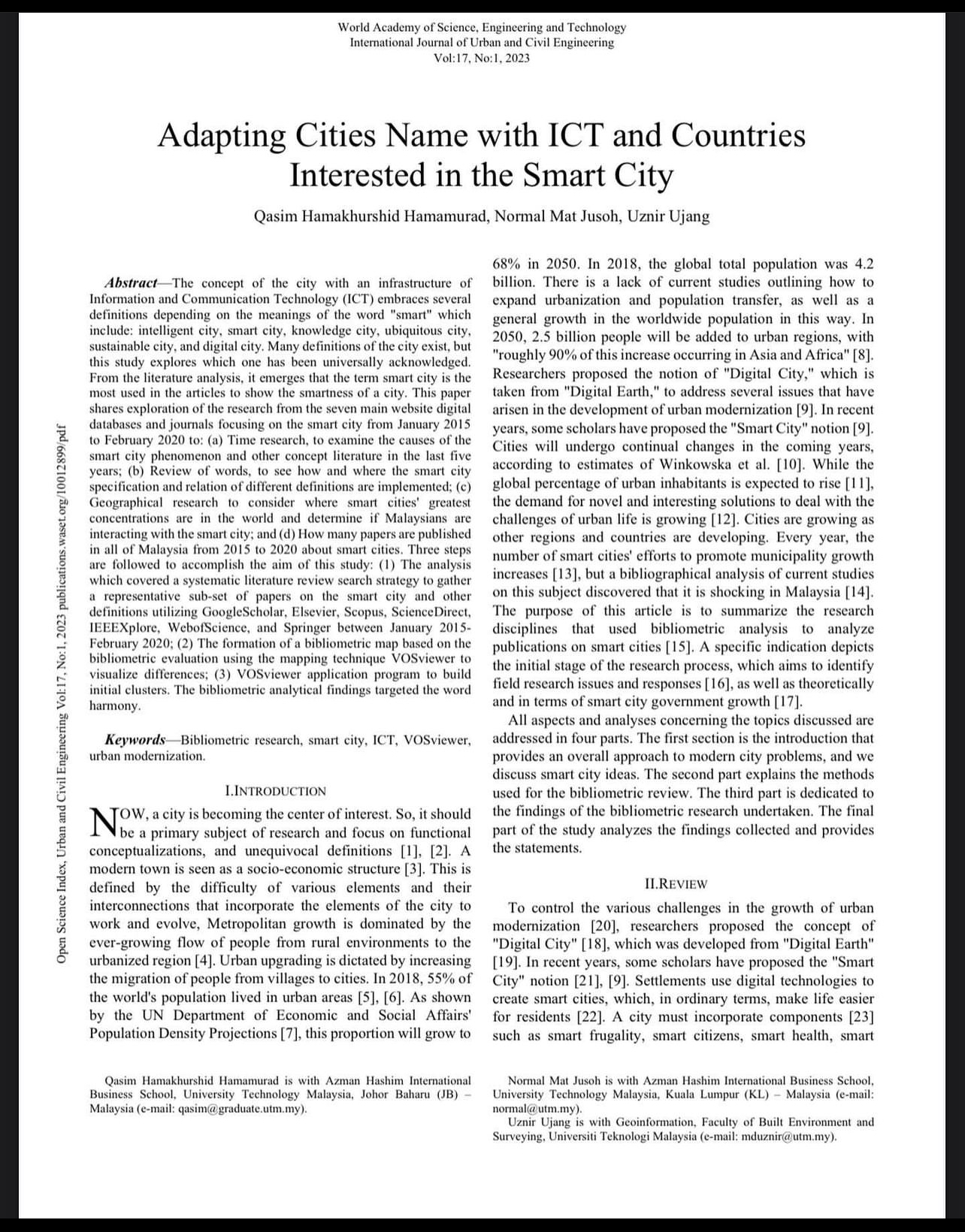
This is our first journal publication of this year. The concept of the city with an infrastructure of Information and Communication Technology (ICT) embraces several definitions depending on the meanings of the word “smart” which include: intelligent city, smart city, knowledge city, ubiquitous city, sustainable city, and digital city. Many definitions of the city exist, but this study explores which one has been universally acknowledged. From the literature analysis, it emerges that the term smart city is the most used in the articles to show the smartness of a city. This paper shares exploration of the research from the seven main website digital databases and journals focusing on the smart city from January 2015 to February 2020 to: (a) Time research, to examine the causes of the smart city phenomenon and other concept literature in the last five years; (b) Review of words, to see how and where the smart city specification and relation of different definitions are implemented; (c) Geographical research to consider where smart cities’ greatest concentrations are in the world and determine if Malaysians are interacting with the smart city; and (d) How many papers are published in all of Malaysia from 2015 to 2020 about smart cities. Three steps are followed to accomplish the aim of this study: (1) The analysis which covered a systematic literature review search strategy to gather a representative sub-set of papers on the smart city and other definitions utilizing GoogleScholar, Elsevier, Scopus, ScienceDirect, IEEEXplore, WebofScience, and Springer between January 2015- February 2020; (2) The formation of a bibliometric map based on the bibliometric evaluation using the mapping technique VOSviewer to visualize differences; (3) VOSviewer application program to build initial clusters. The bibliometric analytical findings targeted the word harmony.
Journal name: World Academy of Science, Engineering and Technology
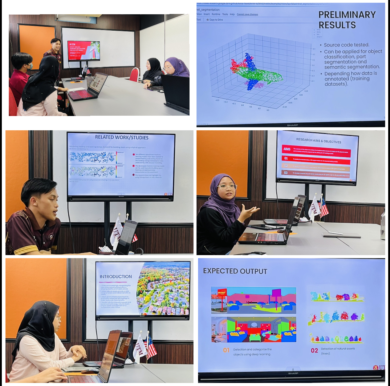
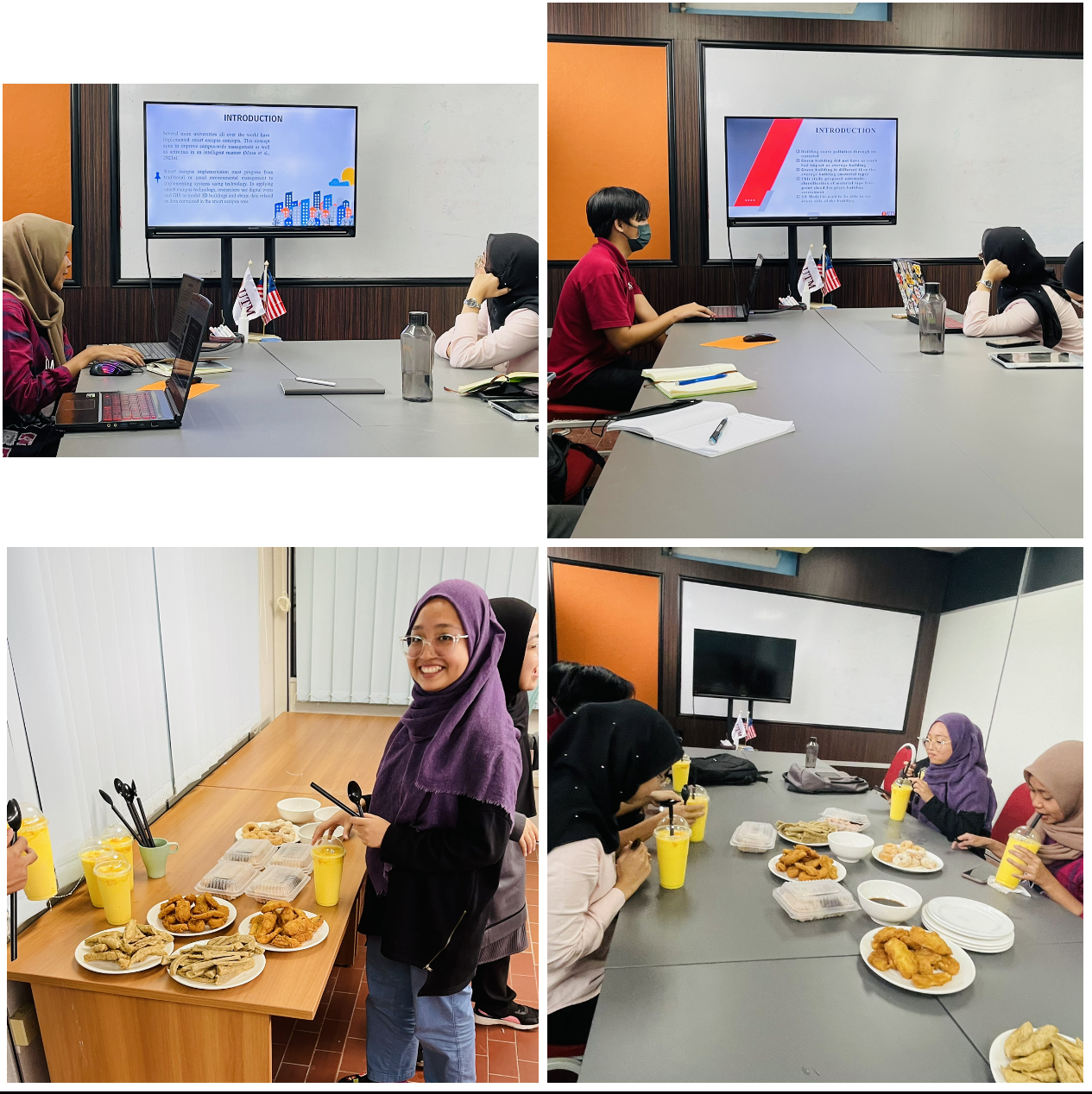
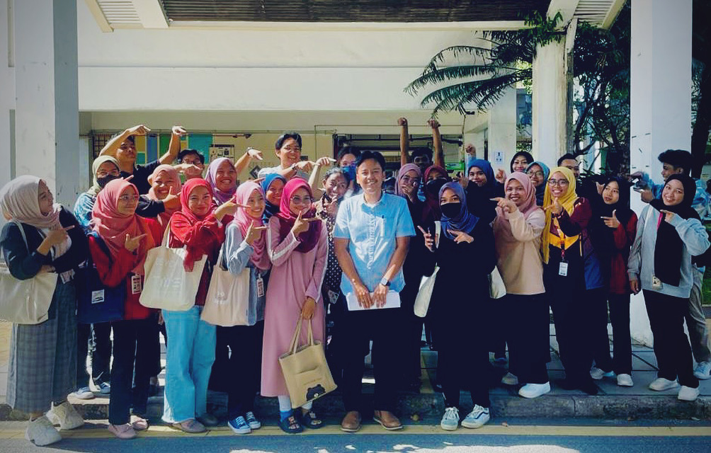
Spending my 3 hours time with final-year BSc Geoinformatics students under my supervision. This mock proposal is not obligated; rather, it is intended to teach students the fundamentals of delivering a proposal defence presentation as well as future presentations (after graduation). This is not a lecturer’s KPI; people say it only adds work. But, regardless of what others say, the important thing is that my students gain new knowledge for future use. And we had “makan-makan” at the end of the session.
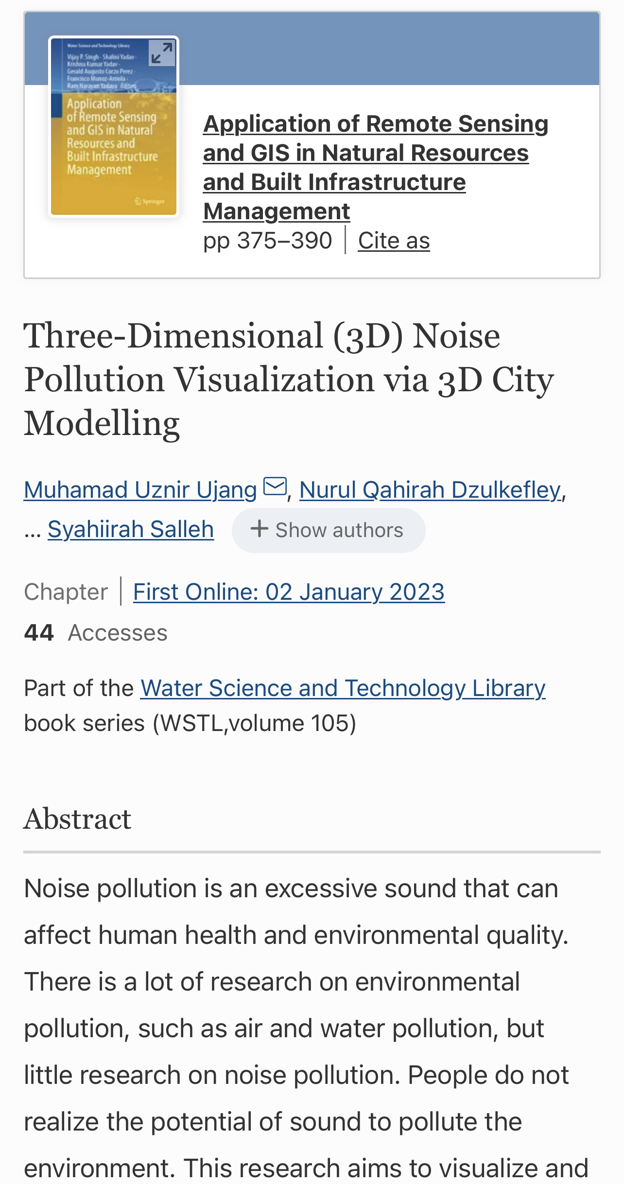
I would like to share about our first publication of this year. Its a book chapter in Springer research book.
This chapter discusses on how noise mapping is constructed in 3D for the Universiti Teknologi Malaysia (UTM) campus area. It is also the first approach made in UTM to visualize noise impacts in 3D. We use the techniques available in 3D city modeling to obtain the results of this study. More findings can be found in the chapter.
This research is sponsored by UTM research grant. We would like to thank to UTM for giving us the opportunity to conduct this research. Here is the information about the book chapter:
Chapter 18: Three-Dimensional (3D) Noise Pollution Visualization via 3D City Modelling
Book: Application of Remote Sensing and GIS in Natural Resources and Built Infrastructure Management
THE INTERNATIONAL CONFERENCE OF SMART CITY APPLICATIONS 2022
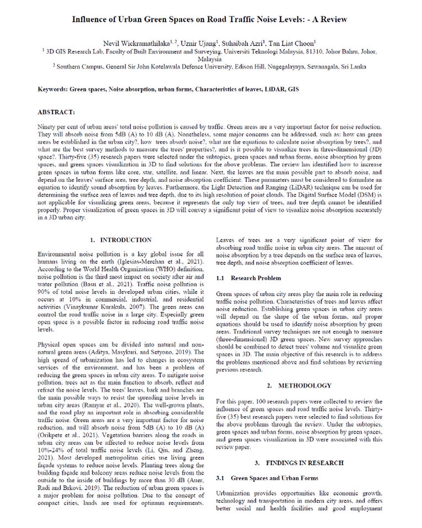
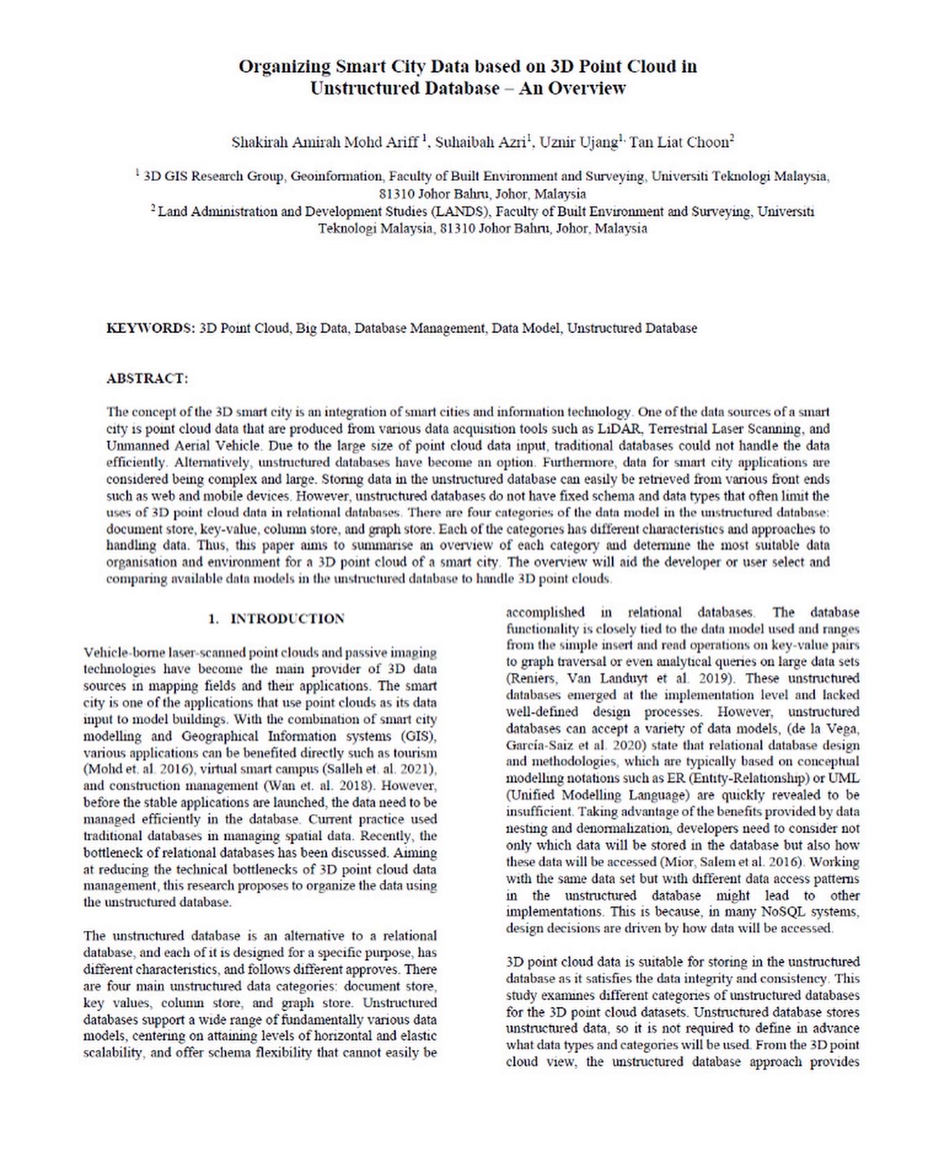
We successfully published six (6) research papers at the International Conference of Smart City Applications 2022, which took place in Morocco. I want to congratulate all the research students in our lab who have worked so diligently on their research that it is now their works being acknowledged and accepted at international level. Your hard work paid off.
Here are the links for the research papers:
1. Topological Relationships in R3 for 3D Cadastre: https://www.int-arch-photogramm-remote-sens-spatial-inf-sci.net/XLVIII-4-W3-2022/165/2022/
2. Conceptual Domain Model for Maintenance Management of High-Rise Residential Strata: https://www.int-arch-photogramm-remote-sens-spatial-inf-sci.net/XLVIII-4-W3-2022/77/2022/
3. Voxelization Techniques: Data Segmentation and Data Modelling for 3D Building Models: https://www.int-arch-photogramm-remote-sens-spatial-inf-sci.net/XLVIII-4-W3-2022/149/2022/
4. Managing Indoor Movable Assets in 3D Using CityGML for Smart City Applications: https://www.int-arch-photogramm-remote-sens-spatial-inf-sci.net/XLVIII-4-W3-2022/103/2022/
5. Organizing Smart City Data Based on 3D Point Cloud in Unstructured Database – An Overview: https://www.int-arch-photogramm-remote-sens-spatial-inf-sci.net/XLVIII-4-W3-2022/87/2022/
6. Influence of Urban Green Spaces on Road Traffic Noise Levels: – A Review: https://www.int-arch-photogramm-remote-sens-spatial-inf-sci.net/XLVIII-4-W3-2022/195/2022/
Feel free to read and share it with your acquaintances.
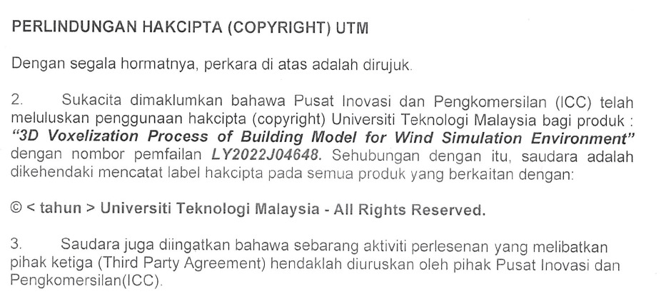
Regarding our study findings, we have successfully acquired new Intellectual Properties (IP) that have been granted Copyright status. This intellectual property focuses on the 3D voxelization method for developing wind flow models.
Congratulations to Nurfairunnajiha Ridzuan. The student’s efforts have been acknowledged with accomplishment. It is her first opportunity to work with intellectual property. I intend to educate my students on the application procedures for intellectual property.
We certainly hope that our research lab will generate a more significant number of IPs.
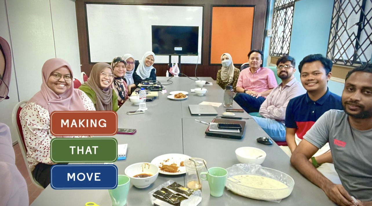
This meeting was postponed from November to December. This is because our research lab is undergoing a major renovation and expansion to meet the needs of new students.
This meeting we introduced 3 new research members namely Syafiq, Husna and Farah. Each showed good progress despite having just started their studies in less than two months.
Hopefully next year more and more interesting research can be produced from our lab. See you next year (IA)!
I had the opportunity to deliver a talk on the use of GIS for the local municipality (Majlis Perbandaran Kulai – MPKu). This training lasts for three days from 5-7 December 2022 and is conducted in UTM.
Wish that my knowledge sharing with the GIS unit at MPKu can be fully utilized. We at the university share our knowledge without relying on any particular vendors or software. It is more about giving the fundamental concept of GISc so that the knowledge can be applied in their daily work.
This year in 2022, I manage to get 8 blended learning awards from UTM. I would like to say a thousand thanks to UTM for giving me this recognition.
This directly give enthusiasm to the staff at the university to provide the best for lectures, labs and knowledge delivery to all students studying at UTM. Many thanks UTM!