Tag Archives: 3D City Modelling

2021 UNIVERSITY’S SERVICE AWARD

2021 UNIVERSITY’S SERVICE AWARD

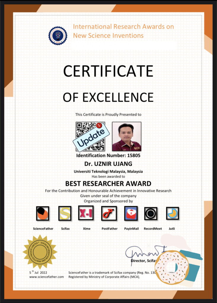
I just had the chance to take all of the prizes that had been awarded to me. Because of the unexpected situation of this pandemic, there has been a delay in the acceptance of these prizes. This is how things are now. 

I’ll say it again: I didn’t expect all of these awards. This is a group effort, not just mine. This is a memory I’ll keep in this post. 

#moment #awards #service #excellence #utm #university 

3D GIS TECHNOLOGY TRANSFER TO CITY COUNCIL

3D GIS TECHNOLOGY TRANSFER TO CITY COUNCIL

Convey some knowledge in the technology transfer program to the Johor Bahru City Council. I’ve managed to explain to them how the 3D GIS system developed can help the council’s immovable asset management process. The system is developed in accordance with national level management procedures.

Shortly after that, I had the privilege for private tour of the newly MBJB building in Bukit Senyum. A comprehensive tour of almost every floor up to the main control room, provided by the MBJB staff themselves. MBJB’s new building is still operating according to the set SOPs.

I could not participate the workshop until the discussion in the afternoon due to there were other urgent meetings that needed to be attended. Hopefully the knowledge gained can be utilized by the MBJB.

#MBJB #JohorBahru #AssetManagement #research #3dgis #AsetTakAlih #TPATA #MYSPATA #3DModelling #spatial #technology #management #building

JOURNAL ARTICLE SHARING (BIM AND GIS DATA COMPATIBILITY)

JOURNAL ARTICLE SHARING

Our new publication published. This time, we were successful in having our article published in the Journal of Information System and Technology Management (JISTM). The issue being discussed is data compatibility for BIM and GIS data in construction projects.

The journal is indexed by MyCite and counted in University’s MyRA II data. Below is the information about the journal published:

Manuscript Title: Building Information Modeling (BIM) And Geographic Information System (GIS) Data Compatibility For Construction Project
Link: http://www.jistm.com/current.asm
Pdf: http://www.jistm.com/PDF/JISTM-2021-24-12-26.pdf

Please feel free to forward this information along to your friends and colleagues!

#bim #gis #3dgis #data #compatibility #construction #project #journal #jistm #article #myra #3ddata #3d #city #modelling #university #technology #management #building #projects

SAVE THE DATE! KEYNOTE TALK YEAR 2022.

SAVE THE DATE – YEAR 2022! 

Another keynote talk at an international conference early next year. And this time physically at Barcelona, Spain.

Keynote Title:

Big Data Paradigm – Handling 3D Point Clouds in 3D City Modelling Applications

Save the date and see you there! Muchisimas gracias. 

#keynotespeaker #keynote #keynotespeaking #keynotes #keynotespeakers #keynote2022 #keynotepresentation #keynotespeech #keynoteaddress #3dcitymodeling #pointclouds #3dgis #3dapplications #bigdata #bigdataanalytics #bigdatasecurity #bigdatanews #BigDataAnalytic #bigdatatrainingcourses #bigdatamanagement #BigdataCenter #bigdataanalyst

Supervision (Ujang, 2021)

This picture describes precisely my relationship with my student. Its a race, if you wish to run fast, then I will do my best to win the race. But if I’m the only one trying to run fast, then it’s impossible for me to move forward with you.

Photo credits to: https://www.flickr.com/photos/asuramaru/4715265543

3D City Model of UTM

3D CITY MODEL OF UTM

We wish to share our journal paper “Virtual 3D Campus for Universiti Teknologi Malaysia (UTM)” has been accepted and published in the ISPRS Journal Special Issue “Virtual 3D City Models”. The editor for the journal is Rudi Stouffs (National University of Singapore – NUS), and Wolfgang Kainz (University of Vienna) as the Editor in Chief of this journal. It is a 2.239 Impact Factor journal with a 3.8 Scopus CiteScore (Q2 Journal).

Here is the link for the paper: https://www.mdpi.com/2220-9964/10/6/356/htm

You may share the journal paper with your friends and colleagues for their reference.

Happy reading!

#research #university #publication #university #science #published #education #3Dcitymodelling #3dgis #gis

BRONZE AWARD FOR INDUSTRIAL ART AND TECHNOLOGY EXHIBITION (INATEX 2020)

BRONZE AWARD FOR INDUSTRIAL ART AND TECHNOLOGY EXHIBITION (INATEX 2020)

This is a teamwork by 3D GIS Research Group, UTM. Our group won the Bronze Medal for this exhibition with an innovation entitled “3D City Modeling towards Smart City Applications”.

INATEX 2020 was participated by 75 participants with various research innovations submitted for this competition. We wish to congratulate to the other winners. Hopefully this exhibition can boost more innovation in this world of research.

“For good ideas and true innovation, you need human interaction, conflict, argument, debate.” – Margaret Heffernan

#research #INATEX #academicresearch #researchers #bronze #medal #3dgis #smartcity #university #3dcitymodelling

“Sharing do Caring”

“Sharing do Caring”

Had the opportunity to share my experience on database architecture as well as the value of metadata for successful 3D asset database management systems. This is an ongoing Universiti Teknologi Malaysia (UTM) research project at Faculty of Built Environment and Surveying. The implementation will be tested at Johor Bahru City Council to perform their daily asset management tasks.

Apart from that, I also had the opportunity to express my views and discuss how GIS can help to replace the existing implementation of land tax assessment for strata multi-level units (i.e. shopping lot in mall, apartments, etc.). May this help to ease the tasks of Land Office.

#3DGIS #database #architecture #assetsmanagement #metadata #spatialdatabase

3D Mesh and Point Cloud Generation

I’m amazed with the achievements from eCapture Research and Development SL. Today I’ve generated point clouds and 3D mesh from series of 49 photos taken via mobile vehicle. I’ve tested two products.

The first product, I call it as product A, it requires users with prior knowledge about sensor size, camera focal length, coordinate projection, etc. Experience in handling spatial data is an advantage. Took almost 30 minutes processing time and expensive computational cost (desktop based).

On the other hand, by using eyescloud3d I’ve managed to generate the model within 15 minutes (output as shown). And most importantly, no prior background knowledge needed.

Congratulations to Guillermo, Miguel and the team for your R&D. Fascinating.

Our lab at Universiti Teknologi Malaysia (UTM) have 5 years MoU research collaboration with eCapture Research and Development SL. We have the privilege to conduct scientific research using their products. Students are eligible to utilize it, feel free to let me know if you’re interested.

The accuracy? You may read our following international publications:

1. DEVELOPMENT OF 3D CITY MODEL USING VIDEOGRAMMETRY TECHNIQUE
(https://www.int-arch-photogramm-remote-sens-spatial-inf-sci.net/XLII-4-W16/221/2019/isprs-archives-XLII-4-W16-221-2019.pdf)

2. 3D MODEL FOR INDOOR SPACES USING DEPTH SENSOR.
(https://www.int-arch-photogramm-remote-sens-spatial-inf-sci.net/XLII-4-W16/471/2019/isprs-archives-XLII-4-W16-471-2019.pdf)

3. COMPARATIVE ANALYSIS OF VARIOUS CAMERA INPUT FOR VIDEOGRAMMETRY
(https://www.int-arch-photogramm-remote-sens-spatial-inf-sci.net/XLII-4-W16/63/2019/isprs-archives-XLII-4-W16-63-2019.pdf)