STRUCTURAL TOPIC MODELLING WORKSHOP – DAY 1
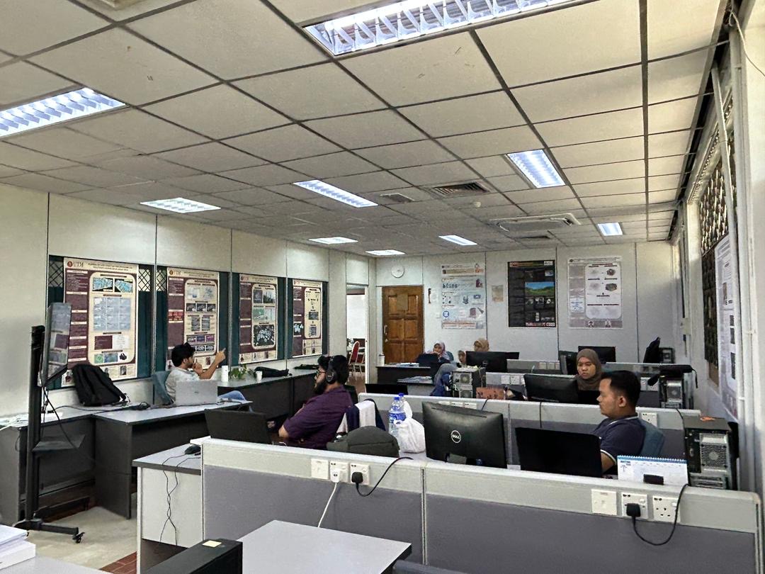
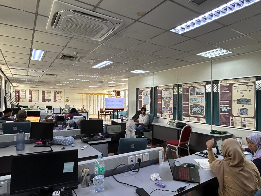
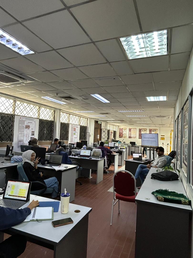
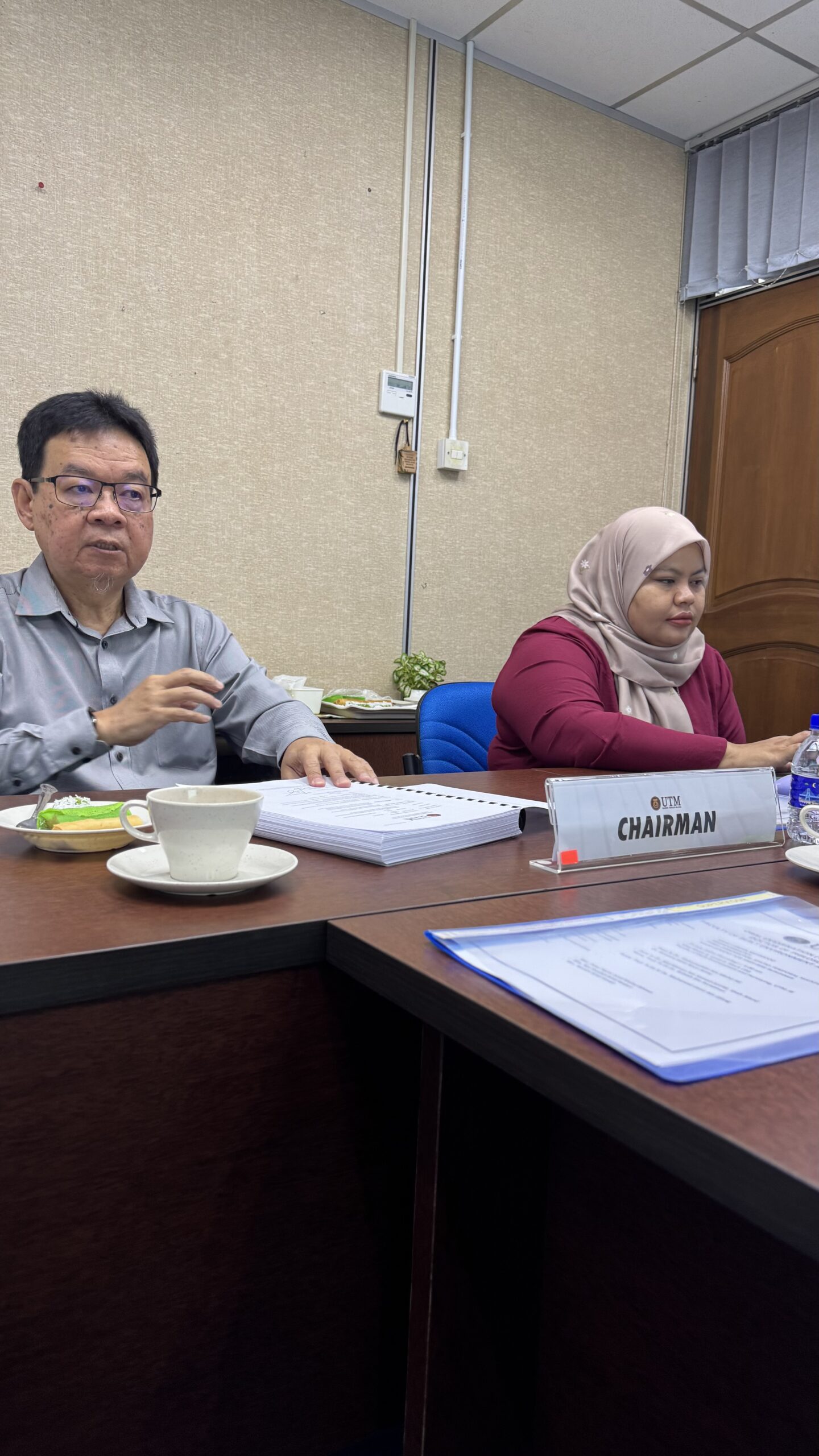
Kicked off a two-day Structural Topic Modelling (STM) workshop organized by our 3D City Modelling research lab. This is our lab’s initiative to sharpen our research skills.
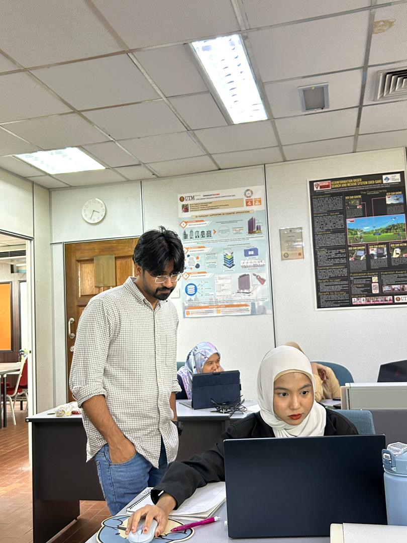
Today’s session was led by Usman Mehmood, one of our talented lab members who’s been hands-on with this analytical method.
Unfortunately, due to other urgent commitments, I couldn’t be part of the session today, but the learning continues regardless. I’m proud to see the team step up and take the lead in building knowledge together.
This workshop focuses on enhancing our research with data-driven topic modelling using STM, a powerful approach for uncovering themes and trends from textual data. It’s part of our commitment to always push forward with innovative techniques in geospatial and data science.
Here’s a short video from today’s session, just a glimpse of what’s happening. Stay tuned, more updates will follow!
#StructuralTopicModelling #STMWorkshop #GeospatialResearch #ResearchLabLife #KnowledgeSharing #PostgradResearch #DataScienceInResearch #AcademicGrowth #UTM