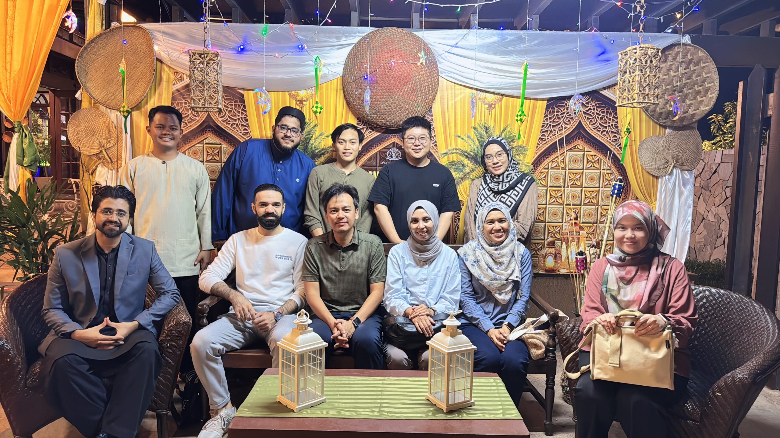
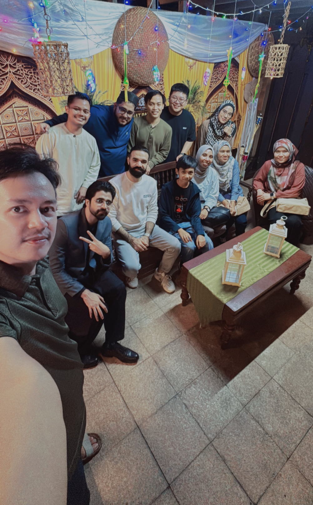
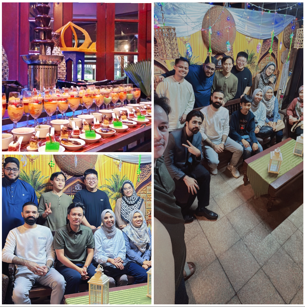
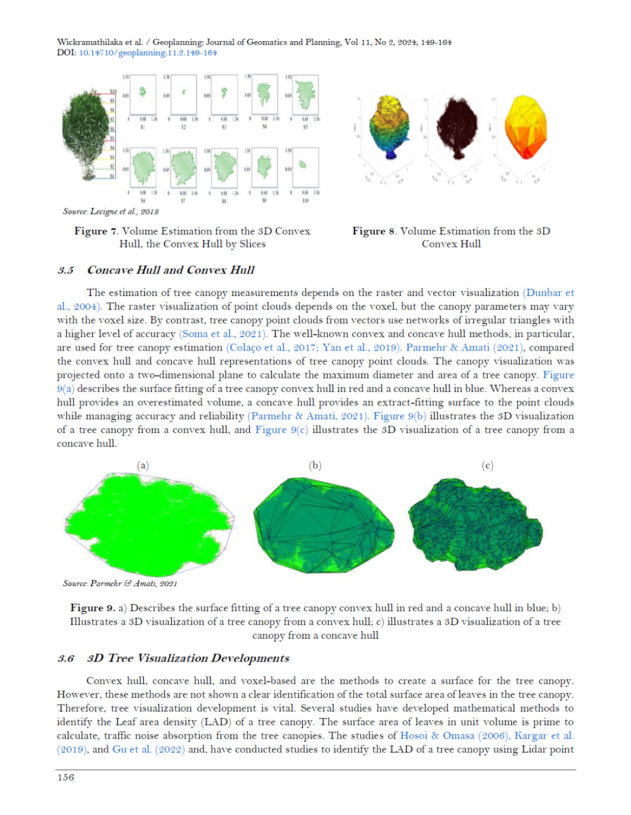
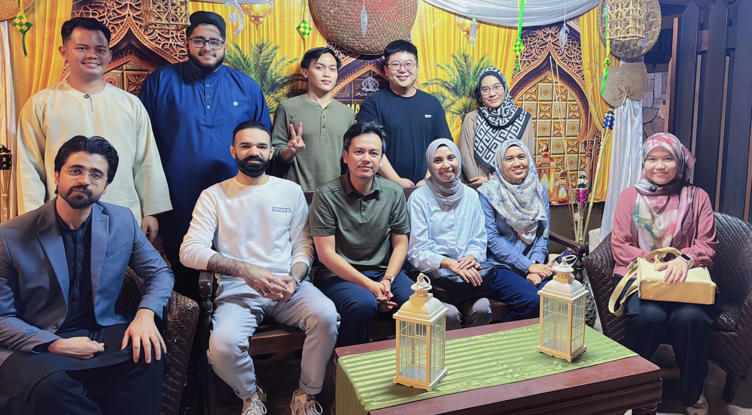
Tag Archives: 3dgis

ONE IN A MILLION OPPORTUNITY – FULLY FUNDED PHD IN 3D GEOSPATIAL AI (GEO-AI)

ONE IN A MILLION OPPORTUNITY – FULLY FUNDED PHD IN 3D GEOSPATIAL AI (GEO-AI)

I am pleased to announce a 3-year fully-funded PhD position from 2024 to 2027, focusing on cutting-edge research in 3D Geospatial Artificial Intelligence (Geo-AI).

This research will be supervised by me, providing the opportunity to work closely on innovative solutions addressing urban sustainability challenges using state-of-the-art 3D geospatial analysis and AI models.

The PhD grant covers:

• Full tuition fee for the entire PhD duration

• Monthly allowance throughout the 3-year period

Eligibility:

• Open to local Malaysian students

• Strong interest in geospatial sciences, AI, and environmental sustainability

For more information or to apply, please contact me at mduznir@utm.my.

Come and join our group and push the boundaries of 3D geospatial AI.

#PhDOpportunity #GeoAI #GeospatialScience #AI #UrbanSustainability #UTM #Research #Innovation

NEXT YEAR EVENT: KEYNOTE SPEAKER AT PCIVI2025 IN LONDON!

NEXT YEAR EVENT: KEYNOTE SPEAKER AT PCIVI2025 IN LONDON!

I’ve been invited to serve as a Keynote Speaker at the Precision Global Forum on Civil, Structural, and Environmental Engineering (PCIVI2025), scheduled to be held from August 11-13, 2025, in London, UK.

This prestigious event, hosted by Reoozvelt, will bring together experts and professionals from around the world to discuss and share knowledge on key subjects in civil, structural, and environmental engineering. It’s an honor to contribute to this global platform and engage with fellow industry leaders.

Looking forward to enriching discussions and sharing insights at this significant forum. Many thanks to the PCIVI2025 organizing committee for this wonderful opportunity!

#PCIVI2025 #KeynoteSpeaker #CivilEngineering #StructuralEngineering #EnvironmentalEngineering #Conference2025 #Innovation

NEW PUBLICATION FROM OUR GROUP!

NEW PUBLICATION FROM OUR GROUP!

Our latest paper, “Navigating Immovable Assets: A Graph-Based Spatio-Temporal Data Model for Effective Information Management” has been published in the ISPRS International Journal of Geo-Information (IJGI)!

This research addresses the challenges of managing spatial and temporal data in asset management by introducing a graph-based spatio-temporal data model. Our approach integrates topological relationships and temporal sequences, using 3D city models and a NoSQL graph database to enhance asset management processes.

Key features include:

– A graph-based method for modeling building spaces using 3D data.

– A novel process model, Aggregated Directly-Follows Multigraph (ADFM), for temporal event management.

– Improved query efficiency and accuracy in managing complex asset data.

This work is a significant step forward in the field of geoinformatics and asset management, offering practical solutions for more effective decision-making.

You can read the full paper here:

– Website: https://www.mdpi.com/2220-9964/13/9/313

– PDF Version: https://www.mdpi.com/2220-9964/13/9/313/pdf

#AssetManagement #SpatioTemporalData #3DModeling #GraphDatabase #Geoinformatics #ResearchPublication

EXCITING NEWS! WE’VE SECURED MULTIPLE RESEARCH GRANTS!

EXCITING NEWS! WE’VE SECURED MULTIPLE RESEARCH GRANTS!

I’m thrilled to share that we’ve successfully secured three research grants. 

The research grants are:

Research #1: 3D Geo-AI in Evaluating Urban Impacts – RM124,770.00 (3 years)

Research #2: 3D City Model Sustainable Urban Design and Modelling – RM68,990.00 (2 years)

Research #3: 3D City Modelling for Energy Management with a budget of RM116,000.00 (3 years).

Out of the four grants approved for Geoinformation, we secured three, and we’ve received the highest budgets in the faculty for Research #1, with overall totaling amount of RM309,760.00!

Let’s stay focused and keep the momentum going with more impactful research! What a busy research years ahead!

#ResearchSuccess #Geoinformation #Geo-AI #3DModeling #UrbanPlanning #SustainableCities #Innovation

LATEST RESEARCH ON SMART CITY FRAMEWORKS

LATEST RESEARCH ON SMART CITY FRAMEWORKS

Our latest conference paper, “Dimensions and Attributes of Smart City Framework: Systematic Literature Review,” which is now published in the Developments and Applications in SmartRail, Traffic, and Transportation Engineering series (ICSTTE 2023). This research provides a comprehensive evaluation of smart city frameworks, focusing on the dimensions and attributes that are crucial for developing intelligent and sustainable urban environments.

Our study reviewed literature from 2014 to 2020, analyzing smart city parameters such as suprastructure, infrastructure, and infostructure. We explored how these elements, along with intelligent government services, can be optimized to better serve society. Our findings highlight the need for improved infrastructure and smarter city facilities, with government prioritizing public infrastructure as a key factor in realizing smart cities.

This research contributes to a deeper understanding of the essential components that make up smart cities, providing a conceptual diagram that simplifies the smart urban concept for policymakers and urban planners.

Discover more about our work and its implications for the future of urban planning: https://link.springer.com/chapter/10.1007/978-981-97-3682-9_41

#SmartCities #UrbanPlanning #SmartInfrastructure #TechInnovation #SustainableCities #ConferencePaper

DISTINGUISHED SPEAKER INVITATION AT ADVANCED MATERIALS SCIENCE WORLD CONGRESS 2025

DISTINGUISHED SPEAKER INVITATION AT ADVANCED MATERIALS SCIENCE WORLD CONGRESS 2025

I have been invited to serve as a Distinguished Speaker at the 7th Edition of the Advanced Materials Science World Congress, scheduled to take place on March 24-25, 2025, in London, UK. This invitation is a wonderful opportunity to present my work and engage with leading experts in the field.

The requested the focus of my lecture will be on my recent research titled “Development of Three-Dimensional Soil Water Dynamic Flow (3D SWD FLOW) Data Model for Landslide Modelling”. The research basically explores the innovative methods for predicting and managing landslides, contributing to safer and more resilient urban environments.

I am excited and look forward to the stimulating discussions and networking opportunities that this prestigious event will offer. Many thanks to Blessy Josephine and the organizing committee for this incredible opportunity.

#MaterialsScience #LandslideModelling #3DModelling #UrbanPlanning #TechInnovation #ConferenceSpeaker

FUNCTIONAL PROGRAMMING IN GEOSPATIAL SCIENCE

This is a photo from exactly seven years ago when I was testing an algorithm I developed to create stereo image from a single photo. The tested image on the left is the original. The image on the right shows the local extrema and minimal pixel intersection based on the code I wrote myself. This was done using the Haskell functional programming language, among the fastest programming method available today. This work was conducted in our Photogrammetry lab at the National Space Institute, Denmark.

#haskell #dtu #dtuspace #denmark #lyngby

TRANSFORMING ASSET MANAGEMENT WITH GRAPH DATABASES

TRANSFORMING ASSET MANAGEMENT WITH GRAPH DATABASES

Our research, “Unleashing the Potential of Graph Database in Smart Asset Management: Enhancing Predictive Maintenance in Industry 4.0” explores into how graph databases can revolutionize predictive maintenance for smarter asset management.

In the era of Industry 4.0, managing massive amounts of data from various sources is a challenge. Our study highlights how graph databases, with their flexibility and scalability, can handle this complexity, making data more accessible and useful for predictive maintenance.

We explore the use of graph databases to store and analyze asset information, showcasing their ability to handle complex relationships and vast data volumes. This approach enhances predictive maintenance by providing more accurate and timely insights.

By integrating advanced technologies like big data, IoT, and AI, we pave the way for smarter, more efficient asset management. Our research demonstrates the potential of graph databases to support the dynamic needs of modern industries.

Discover more about how we’re pushing the boundaries of smart asset management: https://doi.org/10.1007/978-3-031-53824-7_2

#SmartAssetManagement #PredictiveMaintenance #GraphDatabase #Industry4 #BigData #IoT #AI #Innovation #TechResearch

INVITATION TO GECCSEE-25 IN AMSTERDAM AS INVITED SPEAKER!

INVITATION TO GECCSEE-25 IN AMSTERDAM AS INVITED SPEAKER!

I’ve been invited to speak at the “Global Experts Conference on Civil, Structural and Environmental Engineering” (GECCSEE-25) in Amsterdam April next year!

An amazing opportunity to connect with top experts and discuss into the latest innovations in our field. Imagine the potential discussions and collaborations that could come out of this event.

Stay tuned for all the behind-the-scenes action, updates, and insights from the conference. Amsterdam, here I come (maybe)!

Let me know if you’ll be there too!

#GECCSEE25 #EngineeringLife #Conference #Amsterdam2025 #Innovation #Research #TravelDiaries #StayTuned

TRANSFORMING URBAN PLANNING WITH 3D TECH!

TRANSFORMING URBAN PLANNING WITH 3D TECH!

We’re pumped to share our latest research, “Analyzing Urban Spatial Distribution in 2D and 3D for Smart City Planning and Zoning,” published in Advances in Geoinformatics Technologies! This study tackles the exciting challenge of making our cities smarter and more efficient.

Cities are getting more complex with high-rise buildings, underground utilities, and diverse land uses. We used both 2D and 3D models to get a clearer picture of urban development, making it easier to plan and zone effectively.

We employed nearest-neighbor analysis to uncover spatial patterns and clustering. Our findings show that 3D models provide way more detail and accuracy than traditional 2D models, revolutionizing how we visualize and plan urban spaces.

This game-changing approach helps urban planners make smarter decisions for sustainable growth. By integrating advanced geospatial techniques, we’re paving the way for resilient, future-ready cities.

Check out our full study here: https://doi.org/10.1007/978-3-031-50848-6_18

Let’s build smarter, greener cities together!

#UrbanPlanning #SmartCities #Geoinformatics #UrbanDevelopment #SpatialAnalysis #SustainableCities #3DModeling #GeospatialTech