One of our lab works has been successfully accepted in an international journal, the Waste Management & Research journal. We introduce a novel spatial clustering technique, called the Within Cluster Pattern Identification (WCPI) algorithm, in spatially identifying litter patterns. It is proven as the first spatial technique introduced and is supported by more than 10,000 onsite spatial data collection conducted in this research. This research is funded by our UTM International Industrial Incentive Research Grant.
Article: Within Cluster Pattern Identification: A New Approach for Optimizing Recycle Point Distribution to Support Policy Implementation on Waste Management in Malaysia.
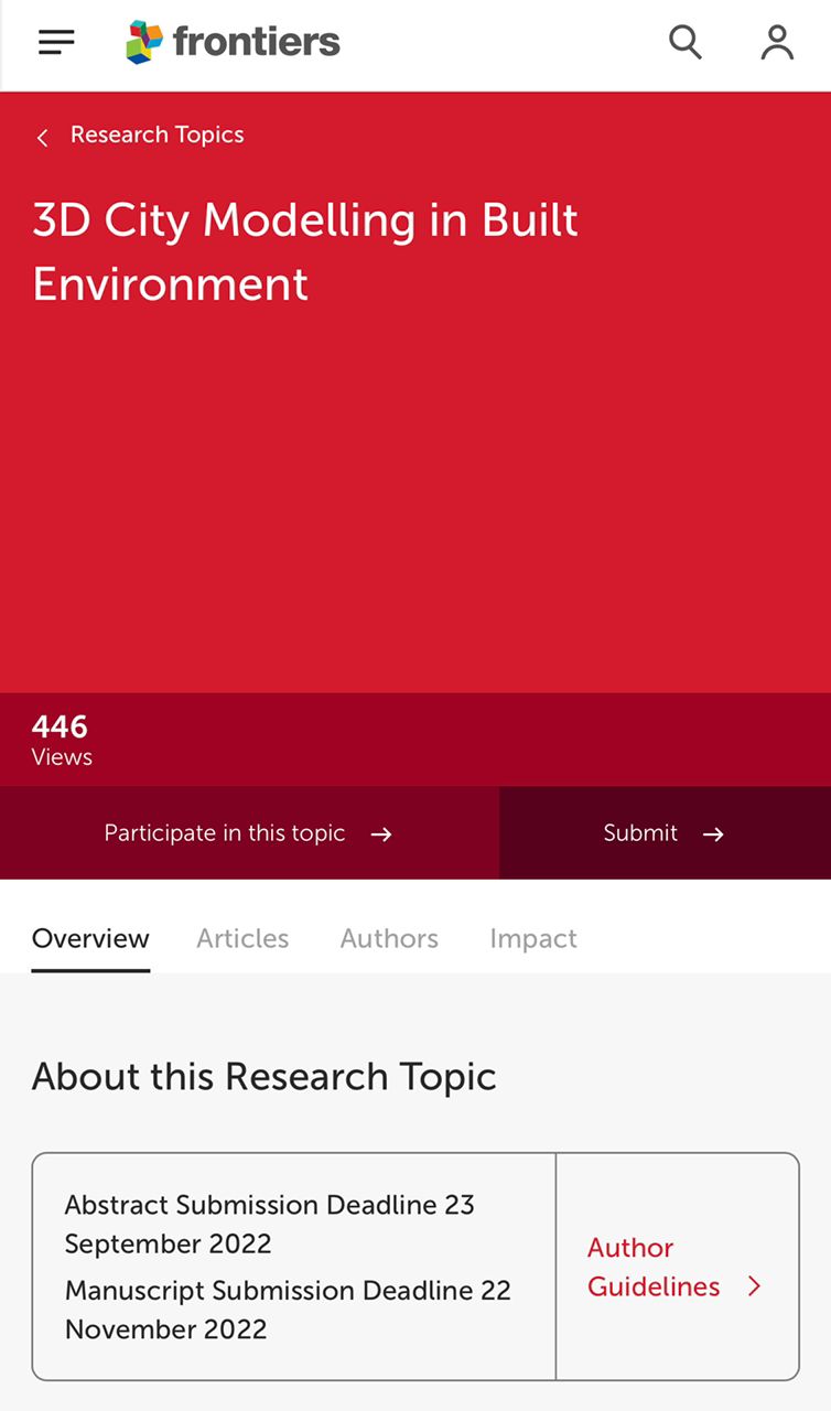
CALL FOR PARTICIPATION – FRONTIERS IN BUILT ENVIRONMENT JOURNAL
I wish to extend an invitation to submit a manuscript for the new article collection on “3D City Modelling in Built Environment” for the Frontiers in Built Environment journal.
This collection is being produced in collaboration with Frontiers in Built Environment. All research will be published in Open Access. Additionally, we aim to put together a free ebook of all published manuscripts to provide an up-to-date and comprehensive overview of the latest research developments in the field.
If you would like feedback on a manuscript’s suitability, please submit an abstract (or proposed research overview) by 23 September. As we publish on a rolling basis, you are welcome to submit your final manuscript before the deadline of 22 November. We can also accommodate personal extensions.
SPRINGER NATURE BOOK SERIES – CALL FOR BOOK CHAPTERS
We are proposing a Book Volume entitled “Advances in Geoinformatics Technologies: Facilities and Utilities Optimization and Management for Smart City Applications” for publication by Springer. I am therefore pleased to invite you to write a chapter on any topic related to the book’s theme. For your information, the book will cover the following topics (but are not limited to):
Geoinformation Modelling
3D City Modeling and Visualization
Building Information Modeling (BIM)
Processing of Spatial Imagery
Hazard Assessment, Flood Modelling, and Coastal Erosion
Geo-Smart City Applications
Urban Informatics
GIS Technology for Smart City Applications
Geoinformation Technologies
Geoinformation for Mobile
Geo AI
Geospatial Cloud Computing
Wireless and Mobile GIS
Geospatial Big-data and Data Mining
Coastal Vulnerability Assessment
Hydro-Meteorological Hazard
Information System and Computer Science
Machine Learning
High-Performance Computing & Parallel Computing
Internet of Things IoT
Wearable Technologies and Wireless Sensor Networks
Geolocation and Positioning
Collective Sensing and Geo-spatial Big Data
Laser Scanning
Location-Based Services
The timeline for this publication is as follows:
Submission of Abstract with TOC: 30.07.2022
Submission of Chapter: 15.10.2022
Submission of Revised Version of Chapter: 15.03.2023
Submission of Chapter to Publisher: 25.03.2023
Anyone interested in contacting me should use my email address, mduznir@utm.my. We look forward to interacting with you and eagerly await your response.
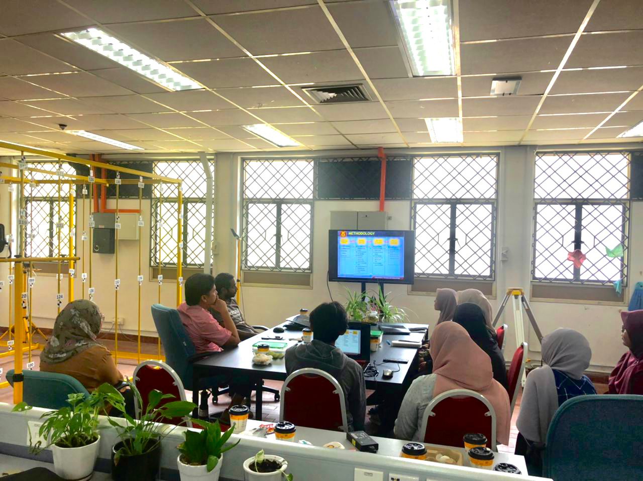
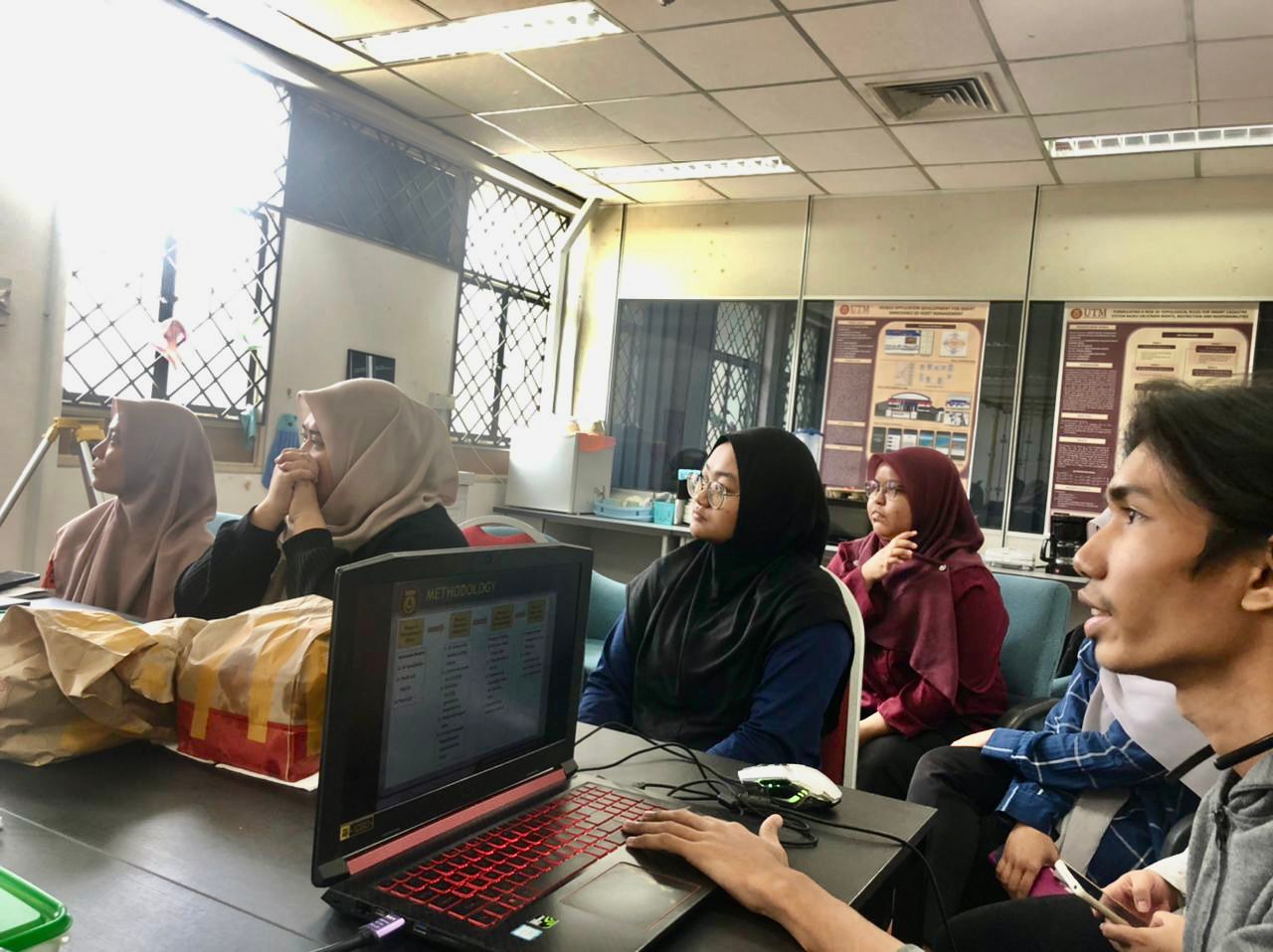
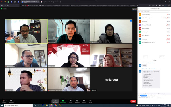
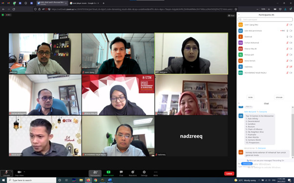
On the 17th of July 2022, the 3D GIS Research Lab held its monthly progress meeting. The students demonstrated the progress they had made in their research over the preceding month throughout the productive meeting. This time, we combined the discussion with student presentations at undergraduate and postgraduate levels. Later, these students can communicate with one another and obtain an idea of how the study is conducted on various levels. I want to thank these students for their great performance on their individual research projects.
FROM INSTAGRAM TO SCIENCE (JOURNAL ARTICLE SHARING)
Title: Individual Mobility Pattern in Malaysia During COVID-19 Recovery Movement Control Order (RMCO) Partial Lockdown
Journal: Geo: Geography and Environment
DOI: https://doi.org/10.1002/geo2.113
Our journal paper was 100% created during the UTM Work From Home (WFH) policy in the year 2021 pandemic. From social media instagram geo-data mining, geo-coding, geo-modelling, geo-analytics, official data correlation and writing, everything was done at home. The Geo: Geography and Environment journal is a Q2 journal with an impact of 12 and located in UK (Wiley Publisher).
Using the new approach we created in GISc, the findings show that when the Recovery Movement Control Order (RMCO) is implemented in Malaysia, the focus areas of Malaysians show uniform and consistent spatial pattern trajectories throughout the country. It is then supported by official data from the Ministry of Health Malaysia with an increase in cases of COVID-19 cases in the hotspot areas identified in this study.
What is unfortunate is that the findings of this study cannot be shared in advance for public use because the evaluation process by the reviewers of this international journal takes some time. However, we understand this enables the expert reviewers to evaluate the new proposed techniques, data, and writing to meet the world standards.
Hopefully, the new GISc techniques introduced in this journal can be used for future reference. Data mining from social media can provide insights into the findings of scientific studies.
P.S: This research is unrelated to the field of 3D GIS. But it shows how our new technique in GIS (2D) can help in predicting COVID-19 hotspots. Please don’t hesitate to read the paper and share it to your acquaintance and students. Thanks!
Throwback [24 May 2022] – First initial meeting call for UTM Metaverse project. It is a brainstorming session in bringing UTM to a new niche area which is developing metaverse for UTM.
I was able to give an idea on how to incorporate metaverse in the university. Among the advantages of creating a metaverse in the university are; students can socialize virtually, this includes going to lectures, sports, tadarus, and so on. Its a new concept (future new norm), which can be tested in the university.
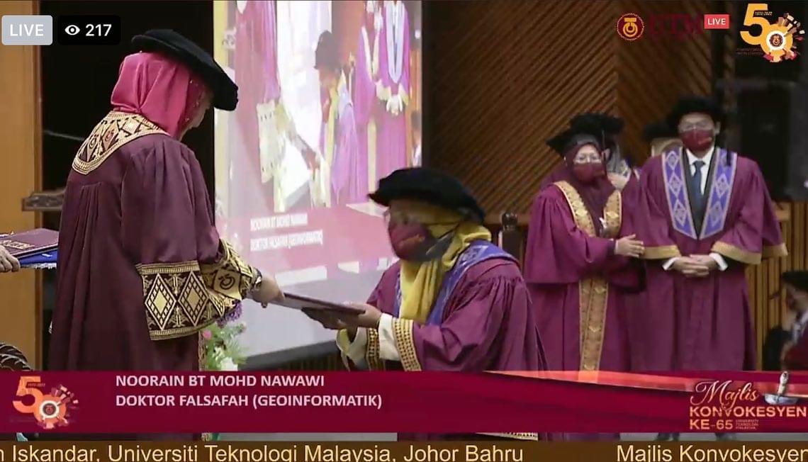
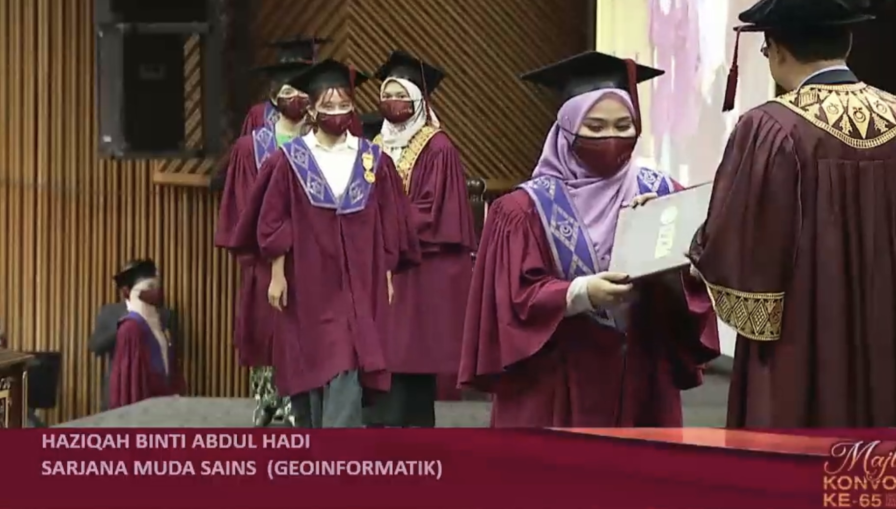
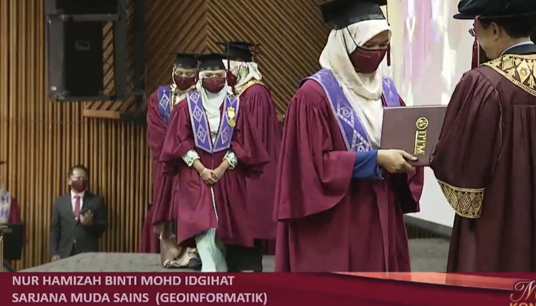
At this ceremony, seven (7) students under my supervision received their degrees. May they succeed in the future and overcome the challenges in the industries. All of my students are currently employed in the geoinformation profession. All the best to them! I am thrilled about this success!
Noorain Nawawi (Doctor of Philosophy – Supervisor)
THE SCA 2022 INTERNATIONAL TECHNICAL PROGRAM COMMITTEE
As a member of the international technical program committees, I would like to extend an invitation to any researchers interested in submitting their research papers to the 7th Smart City Applications International Conference, held in Castelo Branco, Portugal, from October 18-21, 2022. The 7th International Conference on Smart City Applications is a multidisciplinary forum co-organized by the IPCB – Instituto Politécnico de Castelo Branco in partnership with the Mediterranean Association of Sciences and Sustainable Development (Medi-ADD). Among the related topics are:
3D City Modeling and Visualization
Location-Based Services
Geographic Information Systems
Remote Sensing
Building Information Modeling (BIM)
GeoInformation for Mobile
Collective Sensing and Geo-spatial Big Data
Laser Scanning
Processing of Spatial Imagery
Geo AI
Urban Informatics
Geospatial Cloud Computing
Wireless and Mobile GIS
The purpose of the event is to bring together research scientists and engineers to debate and exchange experimental and theoretical results, creative designs, case studies, and ideas that create new trends in the field of smart cities. You are welcome to check out the website conference at https://medi-ast.org/SCA22/index.html. The paper submission link is at https://easychair.org/conferences/?conf=sca22.
Our new journal paper (Modern City Issues, Management and the Critical Role of Information and Communication Technology) published in the International Journal of Advanced Computer Science and Applications (IJACSA). It is a Web of Science and Scopus indexed journal that focuses on publishes research, review and survey papers which offer a significant contribution to the computer science literature, and which are of interest to a wide audience.