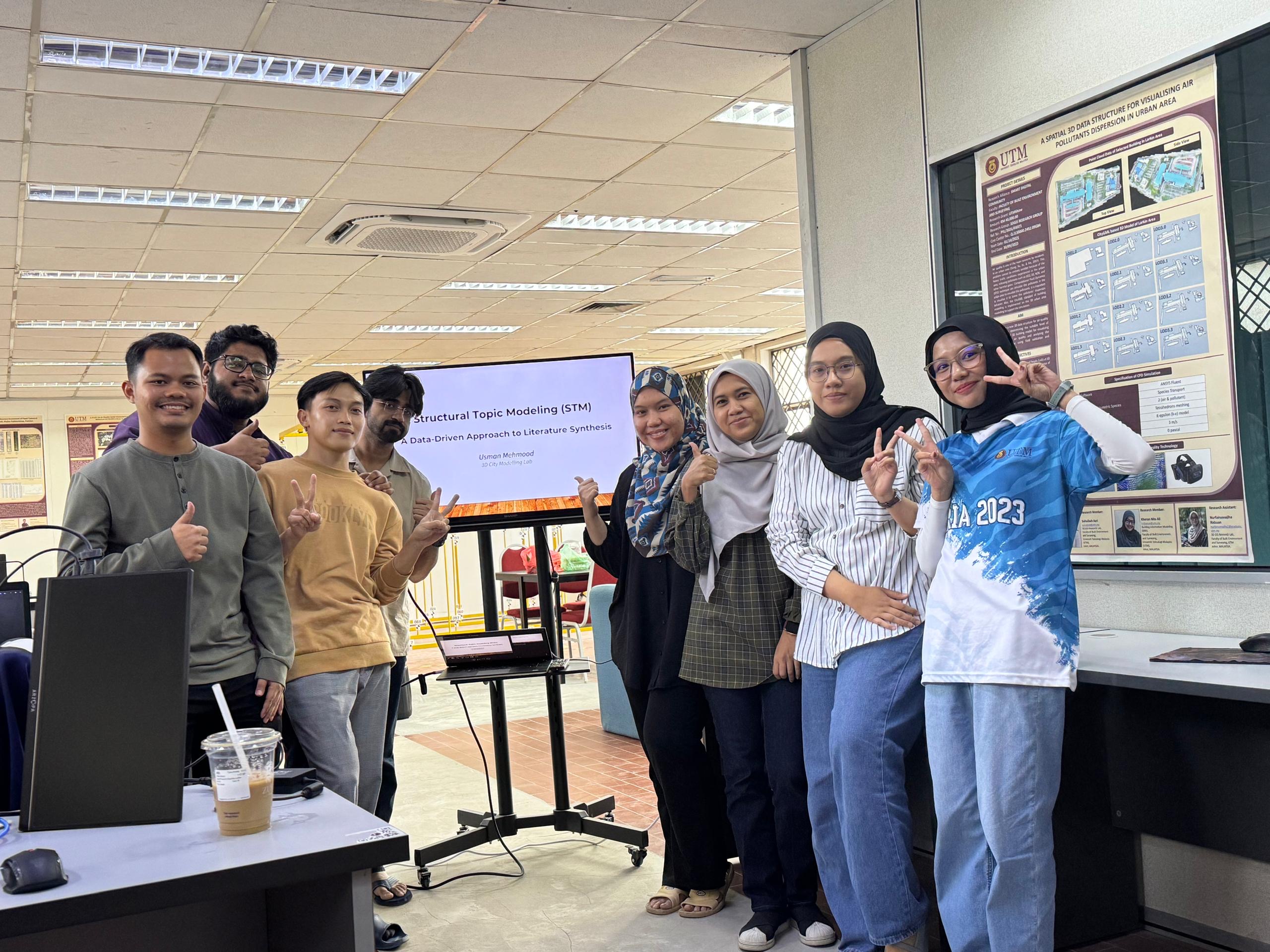
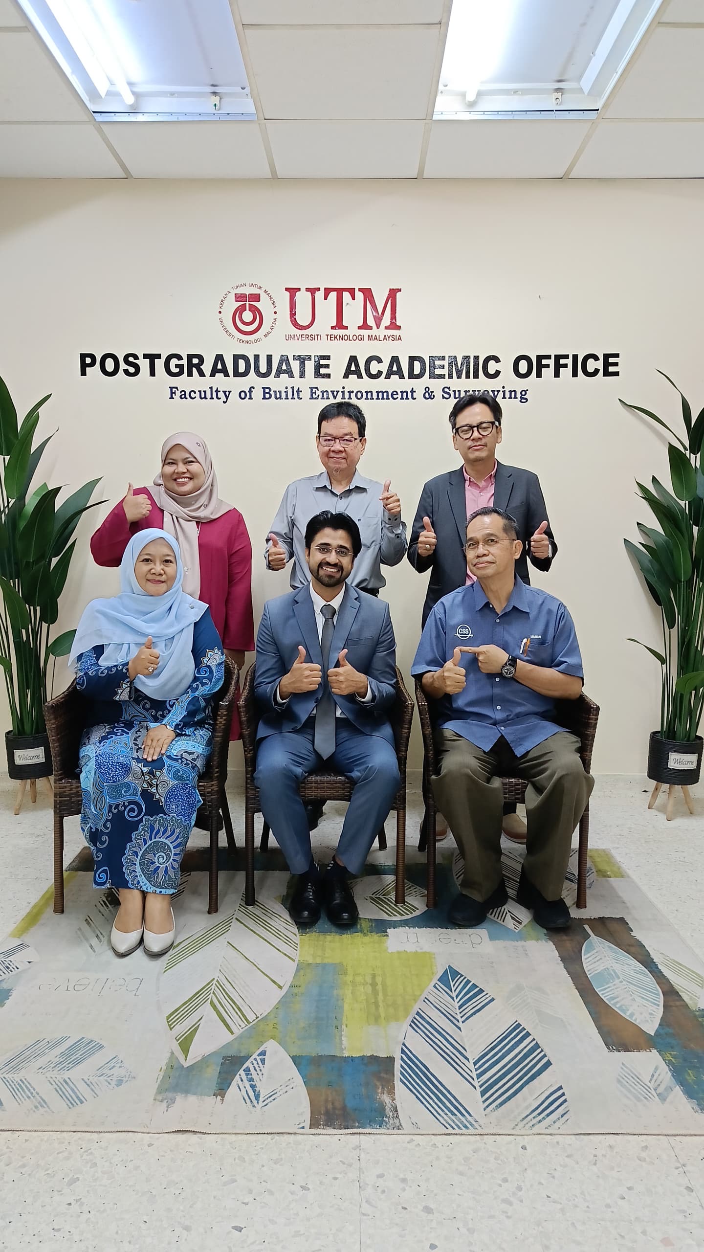
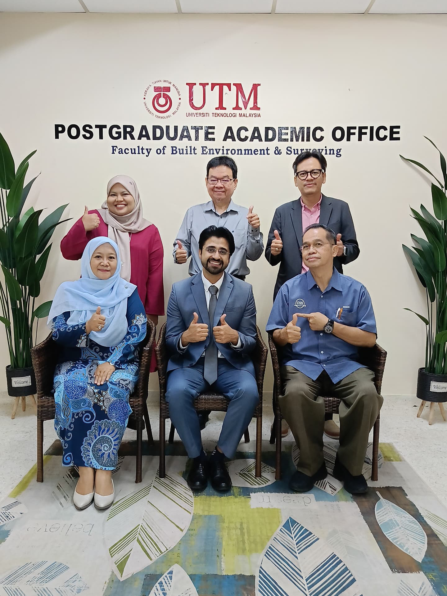
STRUCTURAL TOPIC MODELLING WORKSHOP – DAY 2
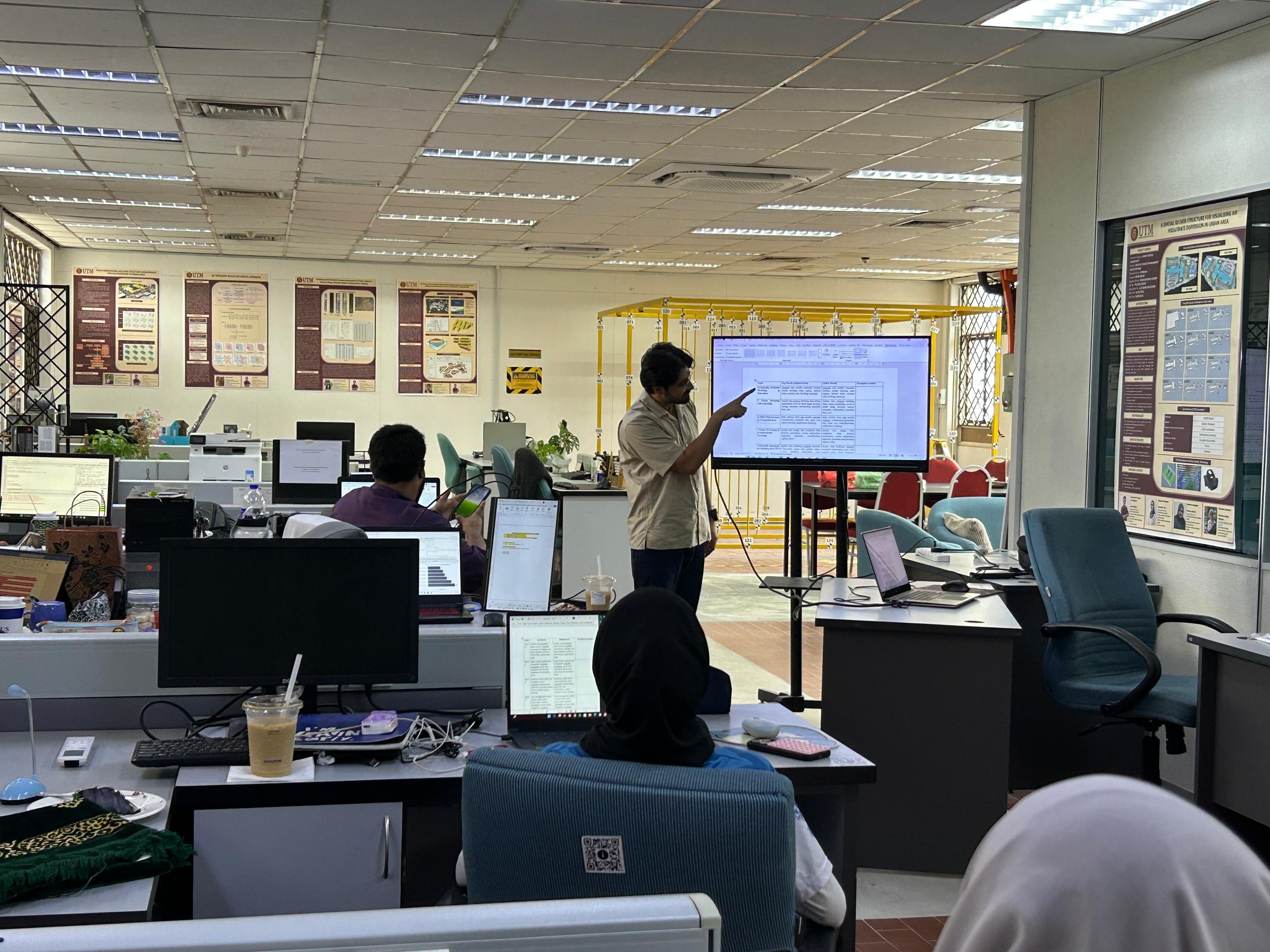
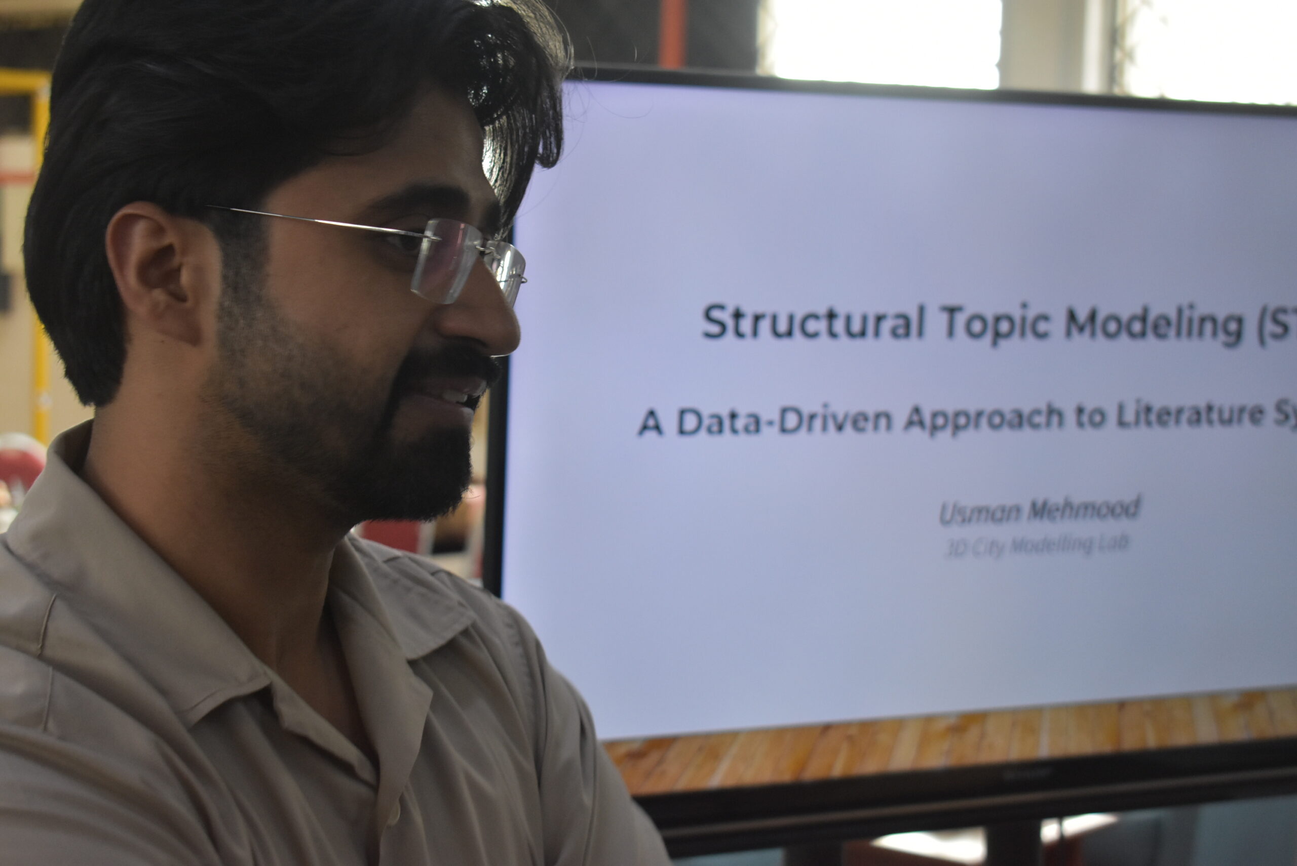
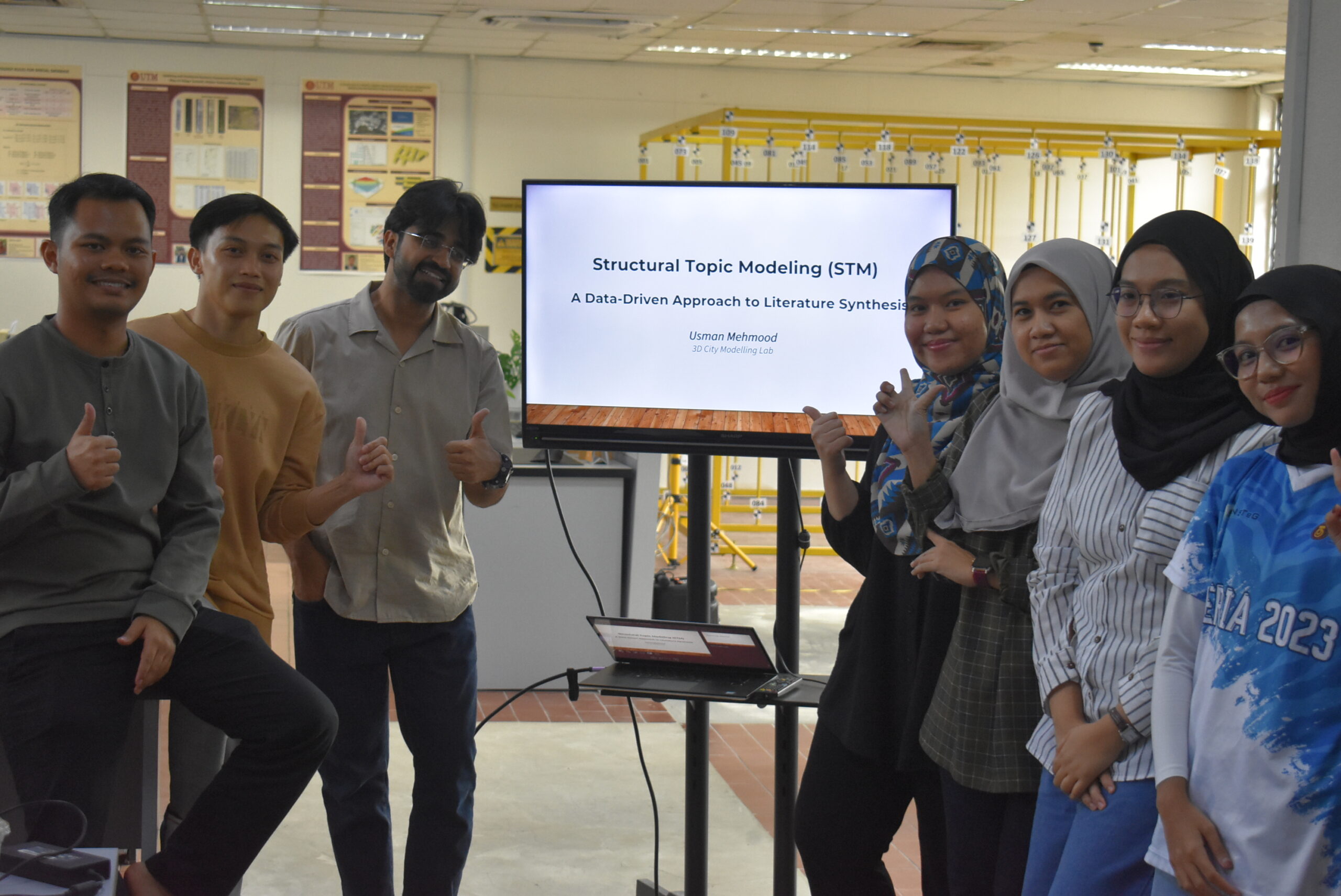
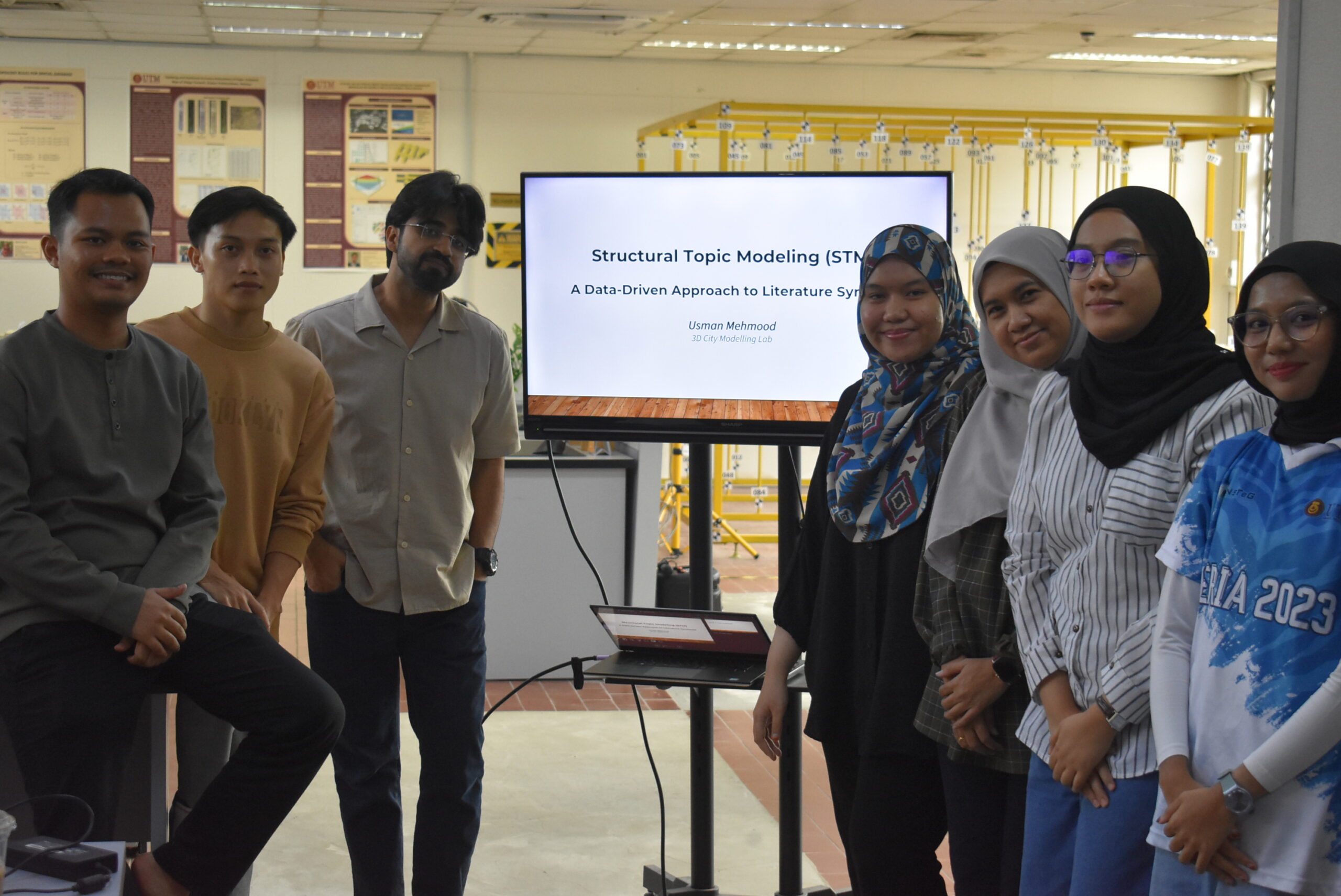
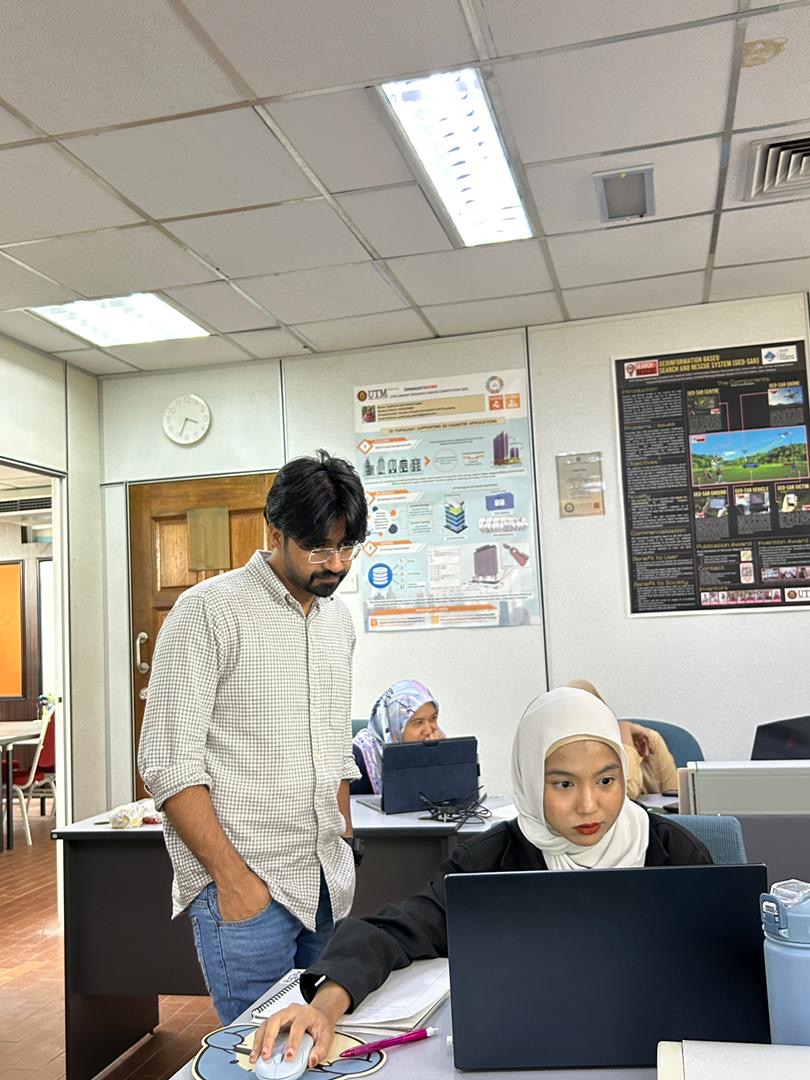
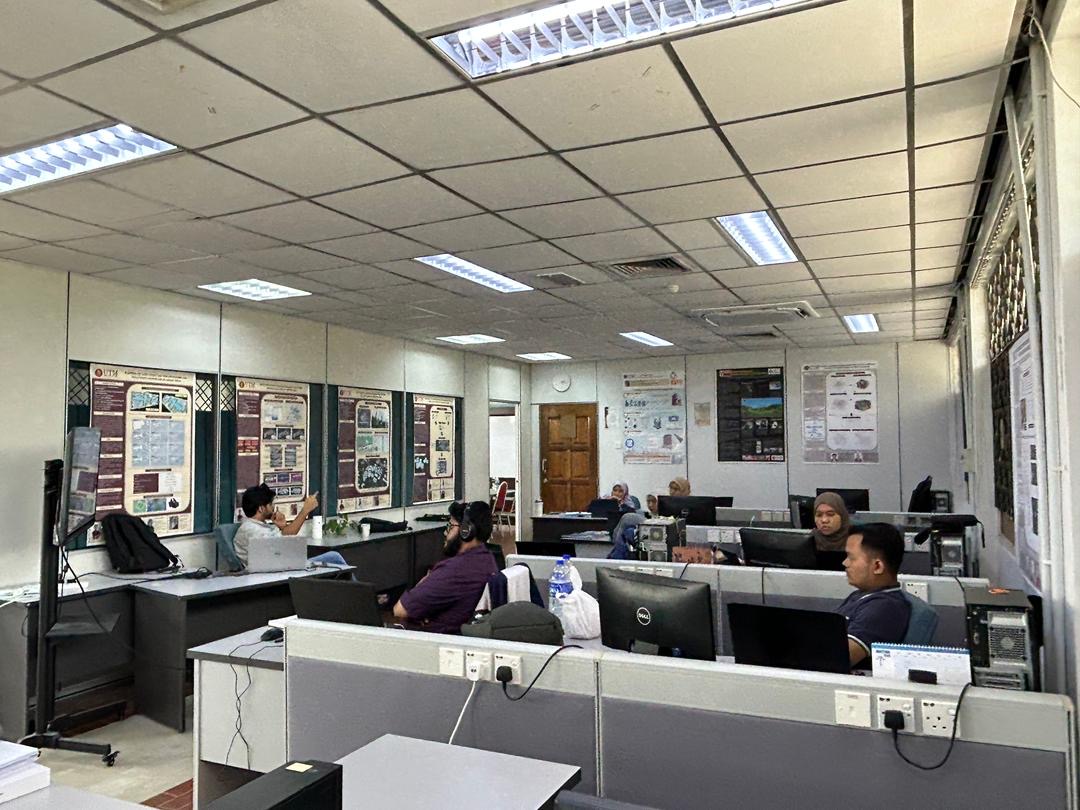
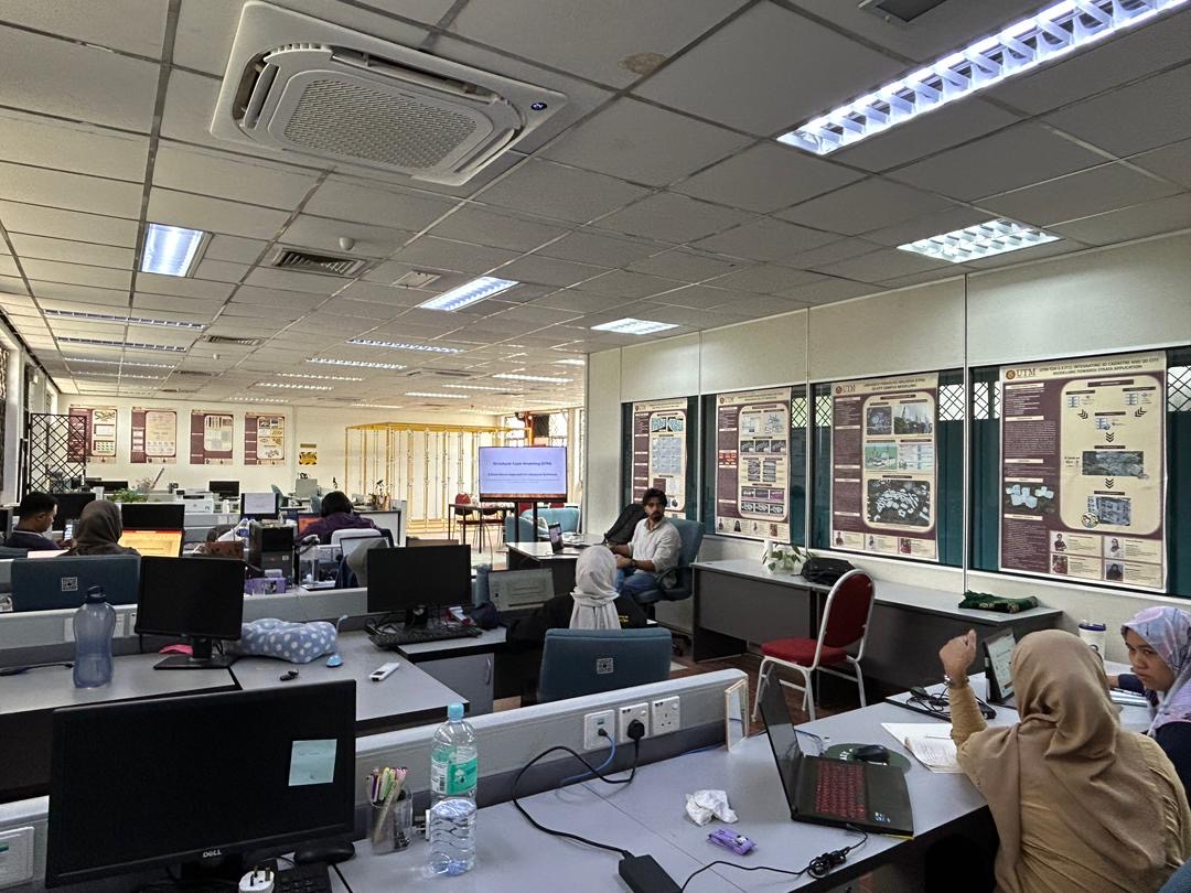
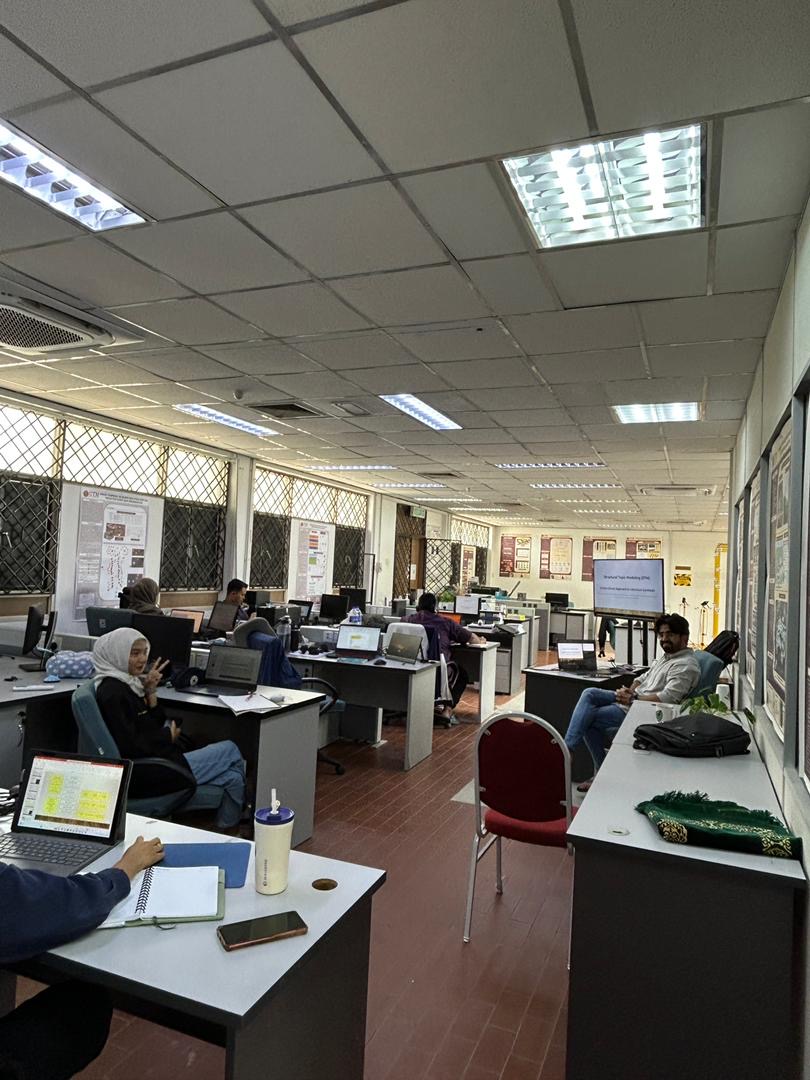
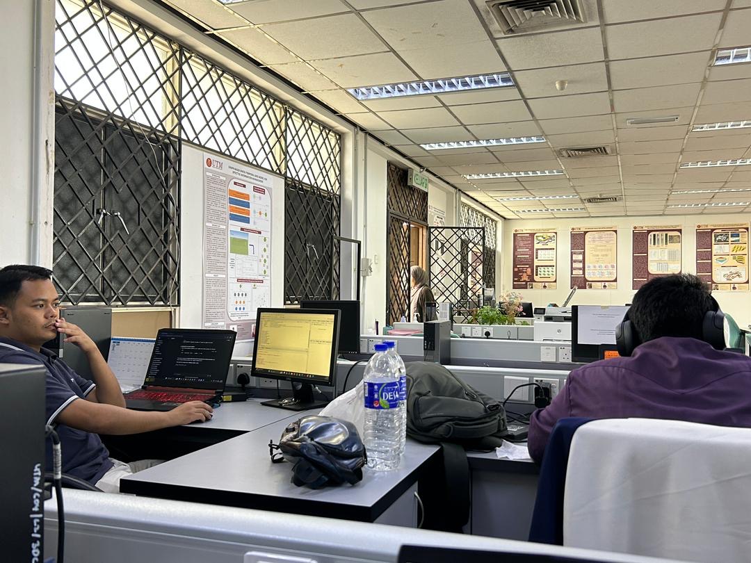
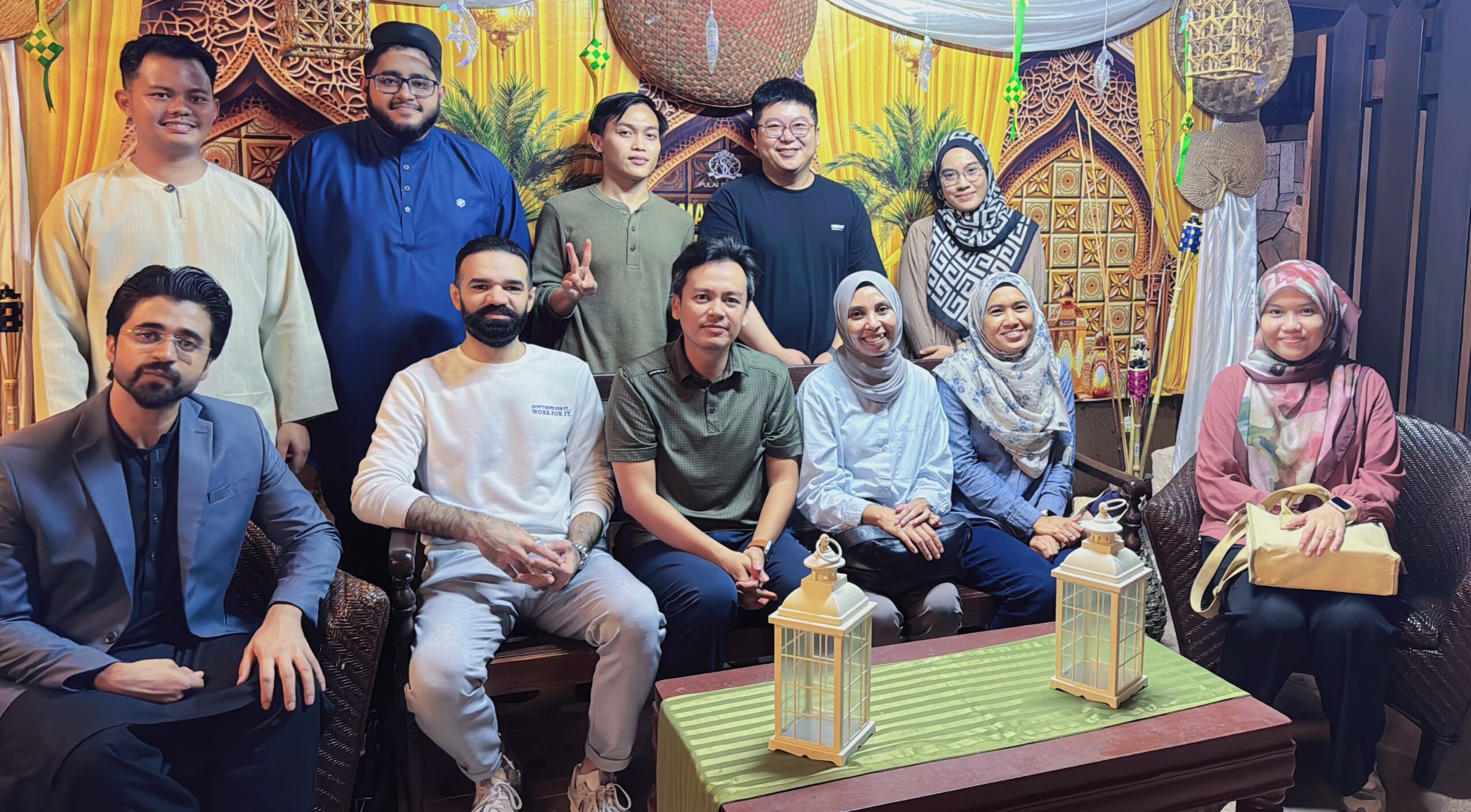
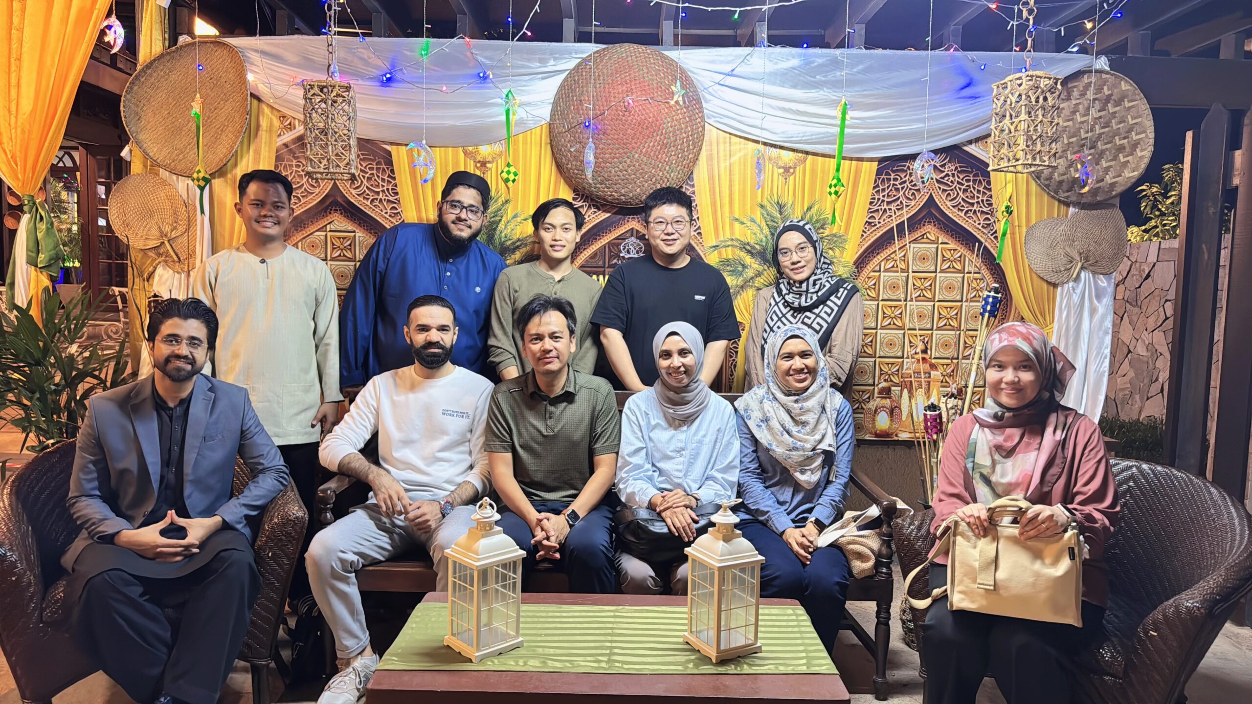
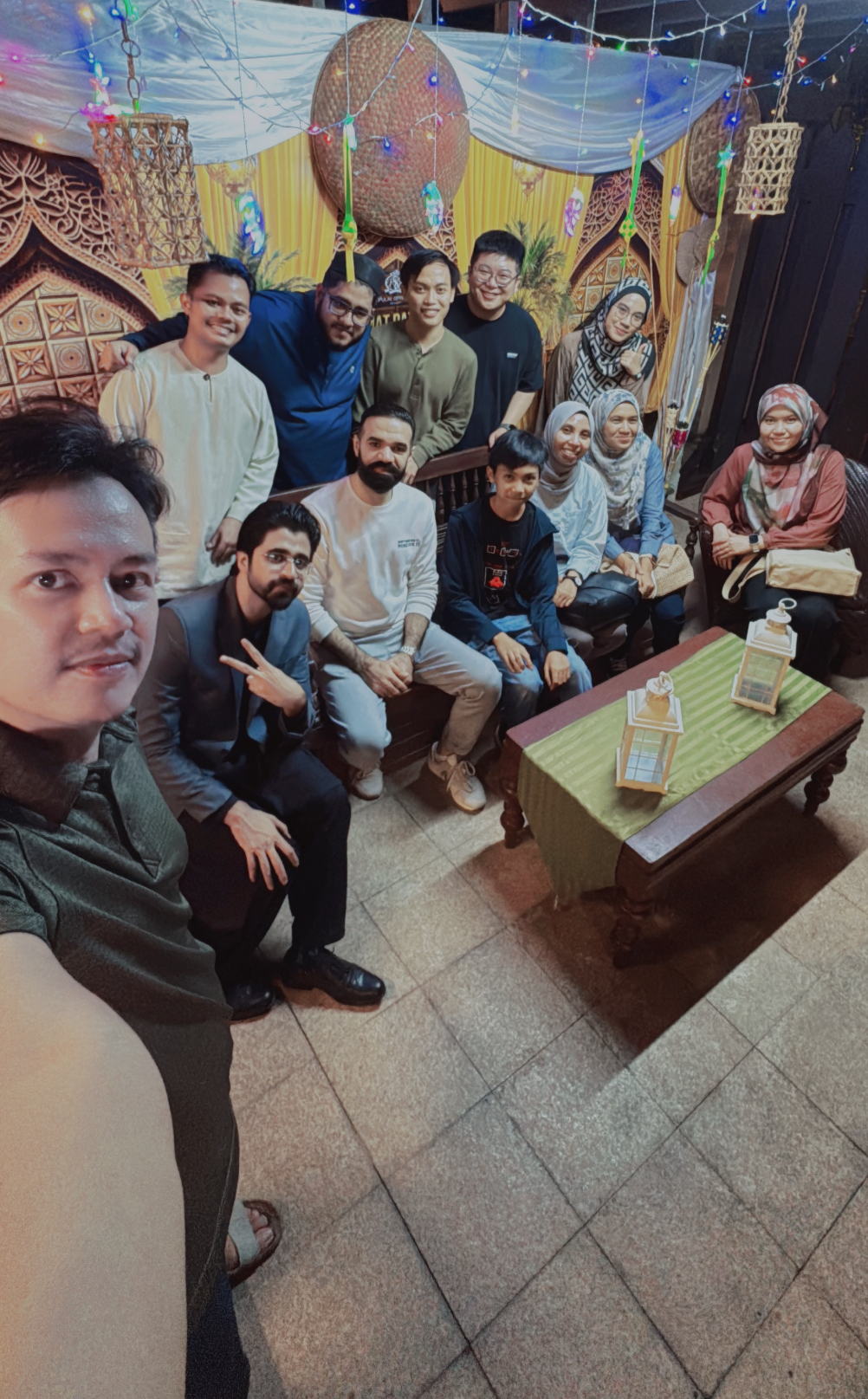
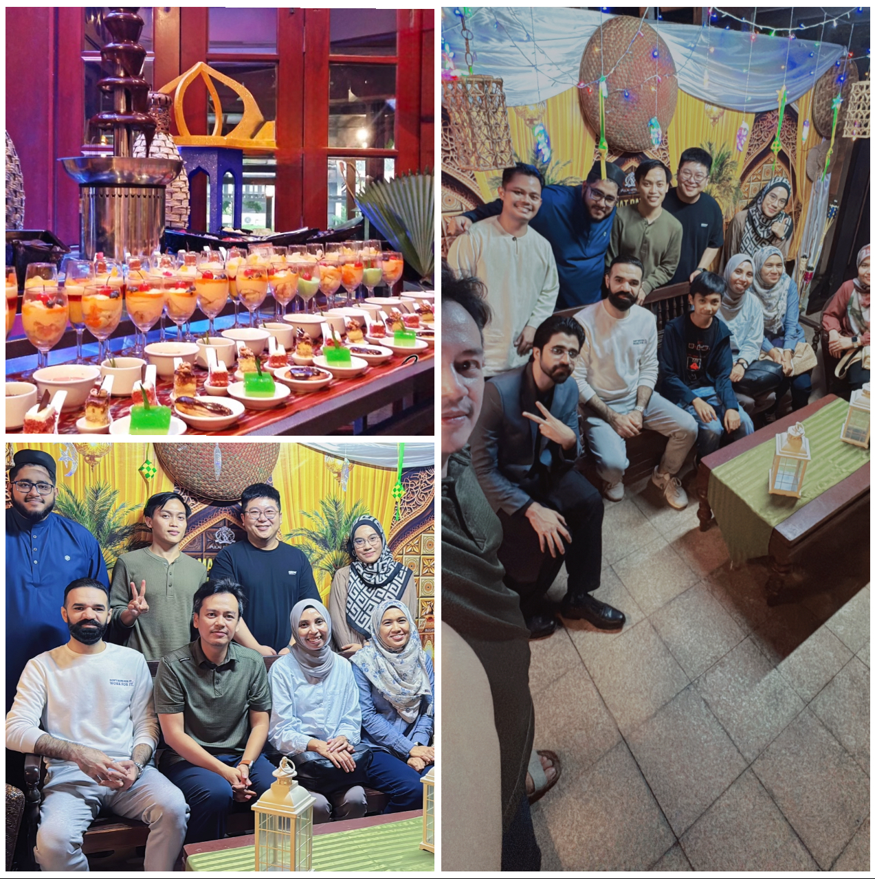
Back in action for Day 2 of our Structural Topic Modelling (STM) workshop, and this time I was able to join the team. It was great to engage directly in the session and see how everyone has progressed with this powerful analytical technique.
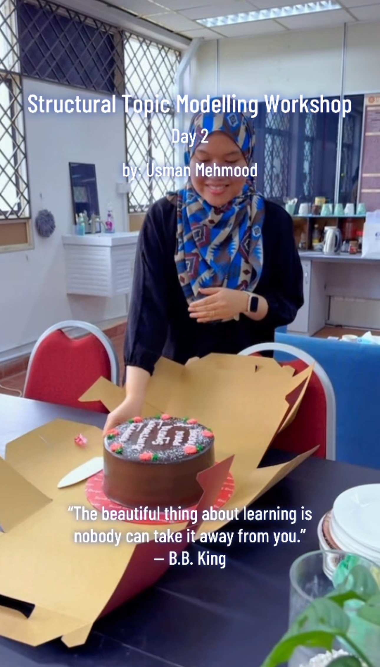
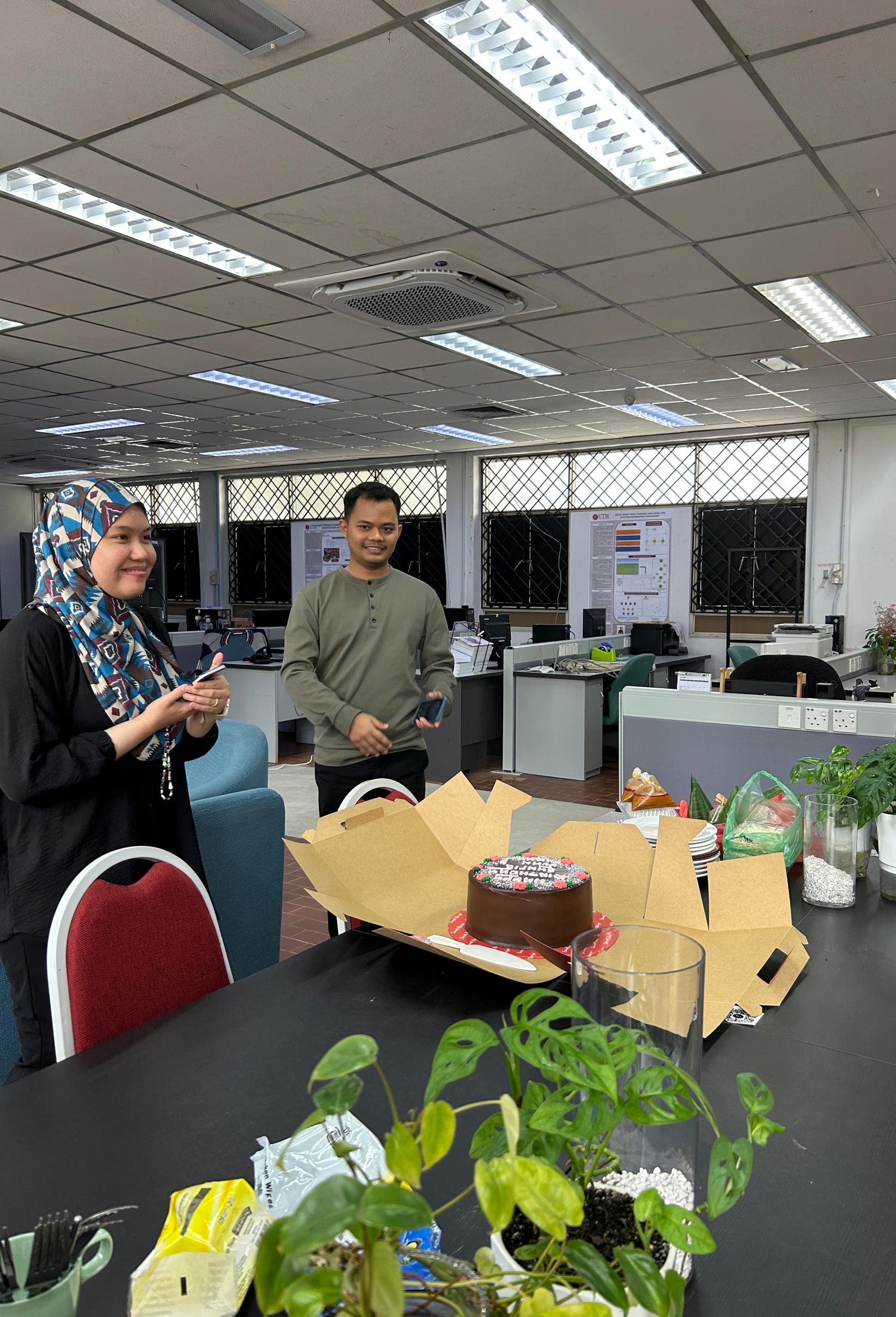
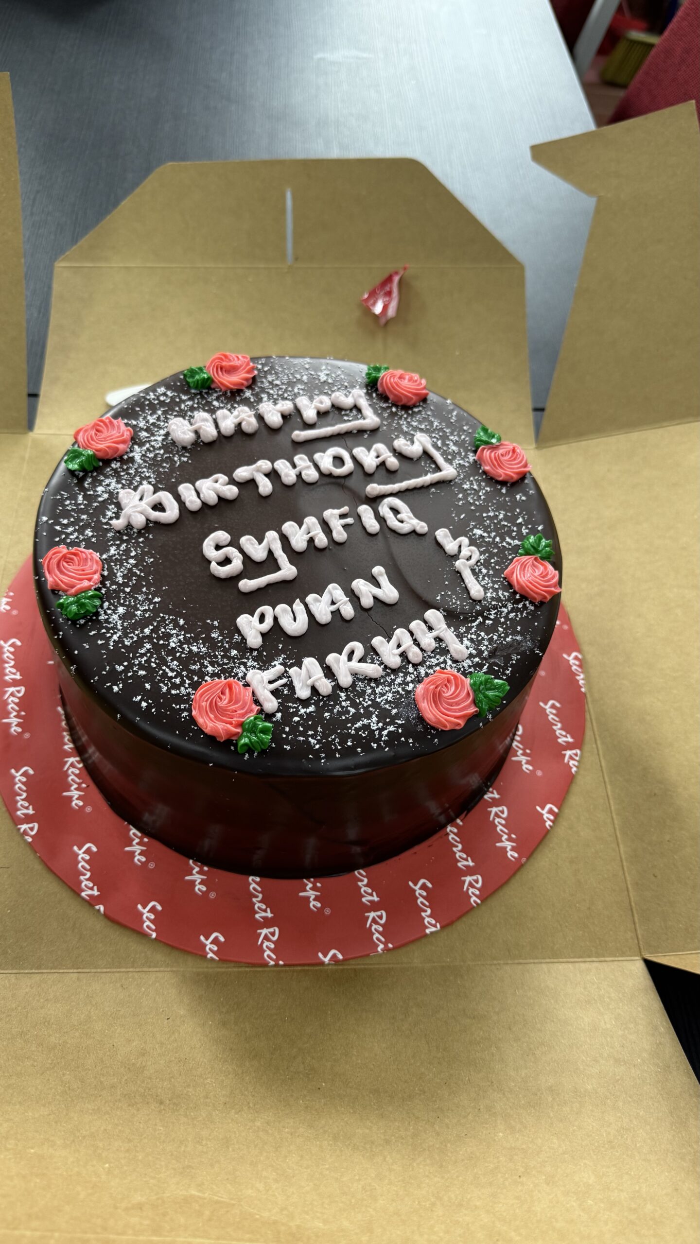
A special moment during the session was a surprise celebration for our August birthday babies. A simple gesture, but one that made the atmosphere even more lively and connected. We had chocolate cake, nasi dagang, pizza and coffee (its a mixed generations).
Workshops like this are not just about technical knowledge, but also about building a strong and supportive research culture. Grateful for the spirit and effort everyone brought into the room.
Huge thanks again to Usman Mehmood for leading the training with clarity and depth. Here’s to more sessions that grow both our minds and our bonds.
#structuraltopicmodelling #stmworkshop #researchculture #academiclife #postgradtraining #geospatialresearch #labcommunity #birthdaycelebration #datascience #utmresearch