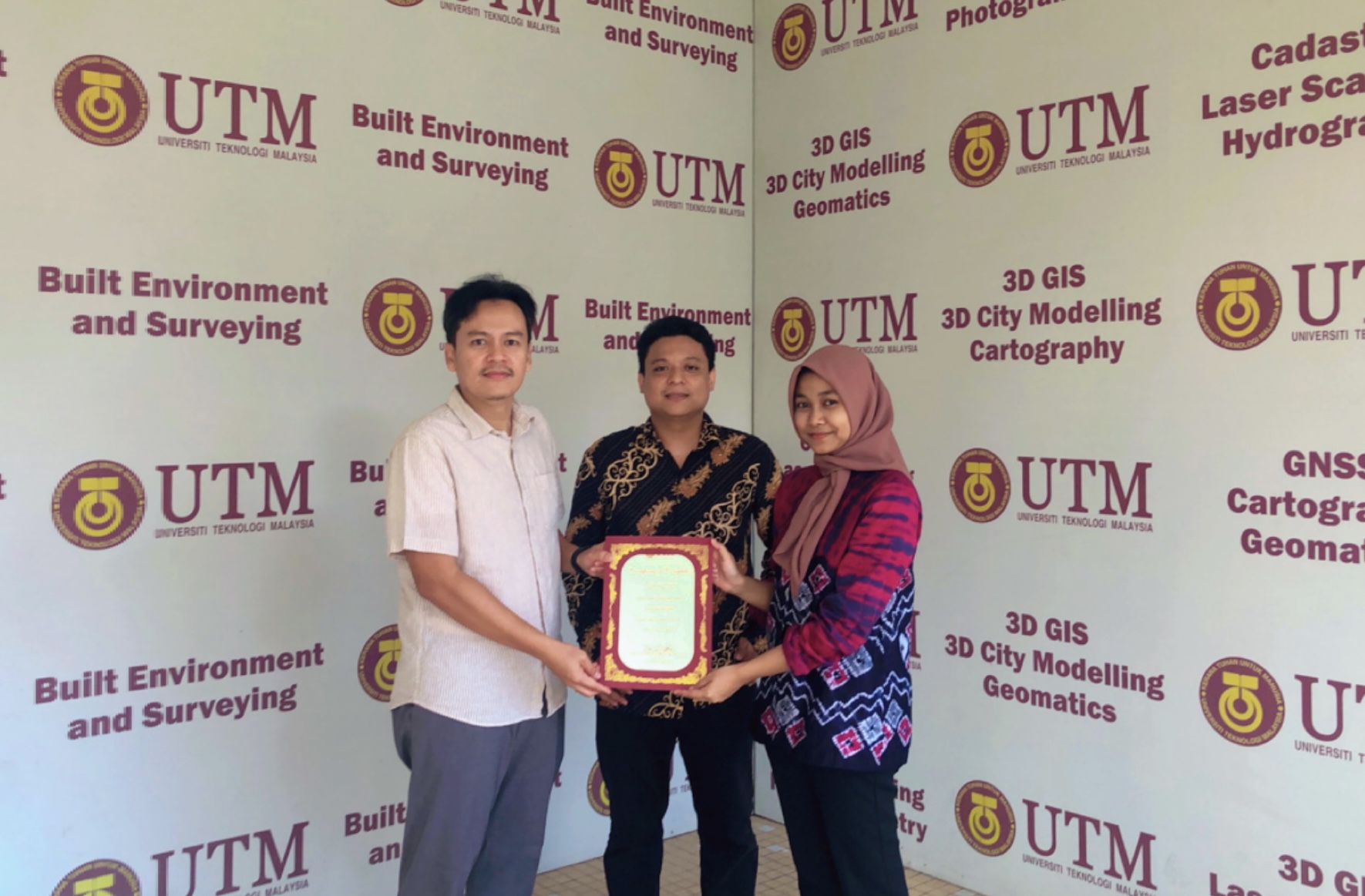
I am delighted to announce our latest course, Geographic Information System (GIS) for Local Authorities.
GIS is a geographic information system, which is an important part of Geo-spatial technology. It has wide applications in local authorities areas.
You are expected to learn the basic knowledge of GIS and the basics of GIS implementation in local authorities. Participants can also put their newfound knowledge to use right away by implementing GIS applications in local authorities.
If you are interested to join the course, register here:
Spending my 3 hours time with final-year BSc Geoinformatics students under my supervision. This mock proposal is not obligated; rather, it is intended to teach students the fundamentals of delivering a proposal defence presentation as well as future presentations (after graduation). This is not a lecturer’s KPI; people say it only adds work. But, regardless of what others say, the important thing is that my students gain new knowledge for future use. And we had “makan-makan” at the end of the session.
I would like to share about our first publication of this year. Its a book chapter in Springer research book.
This chapter discusses on how noise mapping is constructed in 3D for the Universiti Teknologi Malaysia (UTM) campus area. It is also the first approach made in UTM to visualize noise impacts in 3D. We use the techniques available in 3D city modeling to obtain the results of this study. More findings can be found in the chapter.
This research is sponsored by UTM research grant. We would like to thank to UTM for giving us the opportunity to conduct this research. Here is the information about the book chapter:
Chapter 18: Three-Dimensional (3D) Noise Pollution Visualization via 3D City Modelling
Book: Application of Remote Sensing and GIS in Natural Resources and Built Infrastructure Management
I had the opportunity to deliver a talk on the use of GIS for the local municipality (Majlis Perbandaran Kulai – MPKu). This training lasts for three days from 5-7 December 2022 and is conducted in UTM.
Wish that my knowledge sharing with the GIS unit at MPKu can be fully utilized. We at the university share our knowledge without relying on any particular vendors or software. It is more about giving the fundamental concept of GISc so that the knowledge can be applied in their daily work.
This year in 2022, I manage to get 8 blended learning awards from UTM. I would like to say a thousand thanks to UTM for giving me this recognition.
This directly give enthusiasm to the staff at the university to provide the best for lectures, labs and knowledge delivery to all students studying at UTM. Many thanks UTM!
This is the 11th journal publication in 2022. Based on the Unified Theory of Acceptance and Use of Technology (UTAUT2), a Malaysia Smart Cities Stakeholders Adoption Model (MSCSA) was employed as a case study in this research. In-depth interviews with specialists from smart city development agencies were conducted using a mixed-methods research approach. These assessments provide city officials with a mechanism for measuring citizen interest in smart city services and a road map for establishing an efficient smart city plan.
Article: Factors Affecting Stakeholder Acceptance of a Malaysian Smart City. Journal: Smart Cities Quartile: Q1 Indexing: Web of Science, Scopus
Cite: Hamamurad, Q. H., Jusoh, N. M., & Ujang, U. (2022). Factors Affecting Stakeholder Acceptance of a Malaysian Smart City. Smart Cities, 5(4), 1508-1535.
Links: 1. Abstract: https://www.mdpi.com/2624-6511/5/4/77 2. HTML Version: https://www.mdpi.com/2624-6511/5/4/77/htm 3. PDF Version: https://www.mdpi.com/2624-6511/5/4/77/pdf
Feel free to read and share with your acquaintance.
I am very honored when my old friend Prof. Ismail Karas from KARABUK UNIVERSITY – Karabük Üniversitesi Turkiye was willing to pay us a visit at Universiti Teknologi Malaysia. Our long conversation started from matters related to research, student supervision, cooperation between universities, national governance related to higher education, up to local culture.
Our meeting was short and it feels like there should be continued maybe next time in Turkiye. Thanks for coming İsmail Rakıp Karaş!
Congratulations to both of my final year Bachelor Degree of Science Geoinformatics students. Finally, they successfully completed their dissertation and defended it during the viva session.
They admitted their previous “wrong moves” caused delays in completing their respective final year projects. I understand, it is a learning process. What is most important is that the experience of making mistakes, is the most valuable.
Congratulations Azbin Fahmi and Natashya! I knew from the start that you two could make it to the finish line.