SWEETS
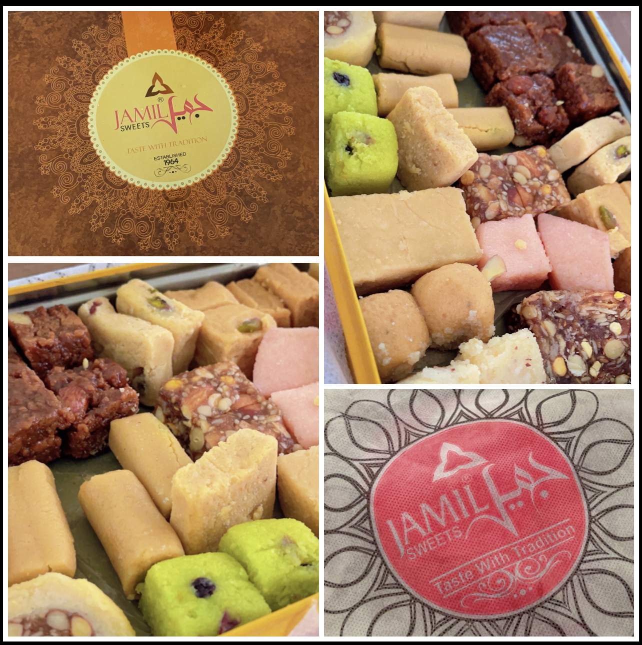
Just received a Pakistani sweets package from my PhD student Usman. It comes all the way from Pakistan! So grateful for thoughtful gestures like this that make our academic journey even sweeter! #PhDLife #Grateful #InternationalConnections
SWEETS
Just received a Pakistani sweets package from my PhD student Usman. It comes all the way from Pakistan! So grateful for thoughtful gestures like this that make our academic journey even sweeter! #PhDLife #Grateful #InternationalConnections

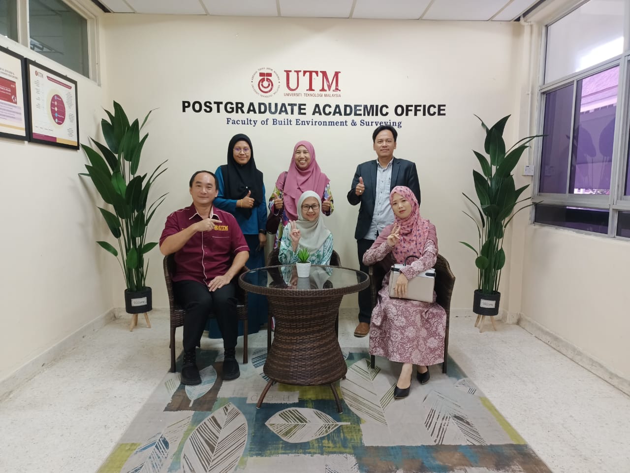
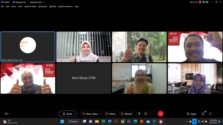
LAND ADMIN MPHIL VIVA
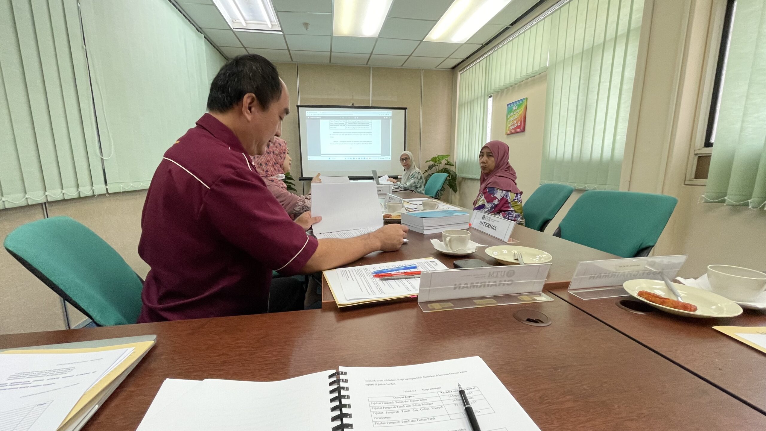
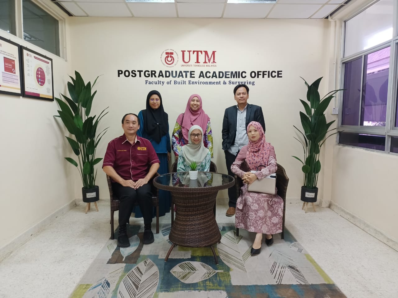
Exciting news! Today, I had the privilege of being the chairman for the MPhil viva session for Ungku Khalsom Sofia binti Ungku Yusoff. The session was a huge success and I am thrilled to announce that the student has passed with flying colors! We had the pleasure of having Dr. Zurinah from UKM as the external examiner and Dr. Tan Liat Choon from UTM as the internal examiner. Congratulations YM Ungku on this remarkable achievement! #MPhilViva #SuccessStory #Chairman #highereducation #Education #AchievementUnlocked
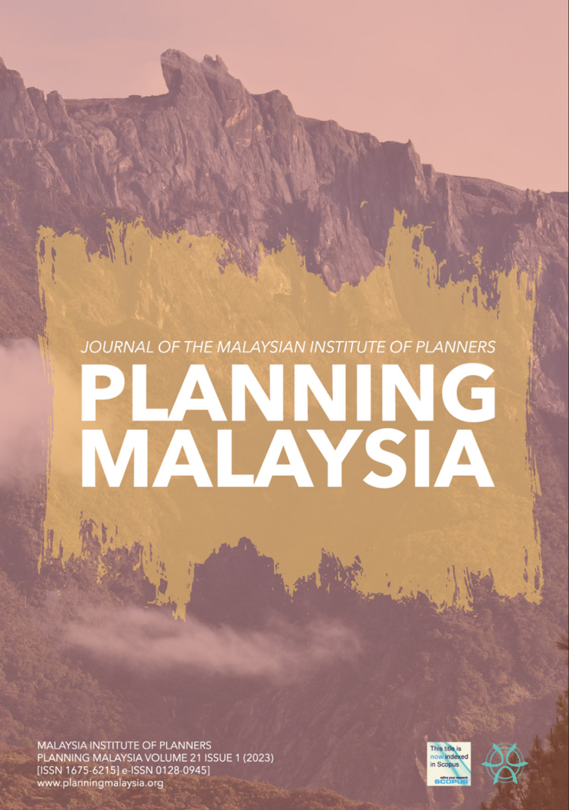
PLANNING MALAYSIA
Exciting news! Our latest journal paper titled “Late Strata Titles Delivery: Insights and Impact To High Rise Housing Development” has just been published in the Planning Malaysia Journal (Volume 21, Issue 1, 2023). This paper delves into the implications of delayed strata title delivery on high-rise housing development, providing valuable insights for the field. If you’re interested in reading more, check out the link below to access the full paper. Thank you for your support!
Link to the paper: https://www.planningmalaysia.org/index.php/pmj/article/view/1246/928
#housingdevelopment #stratatitles #planningmalaysiajournal #publication #research #insights #impact #highrise #architecture #construction #propertydevelopment
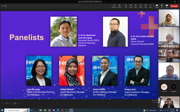
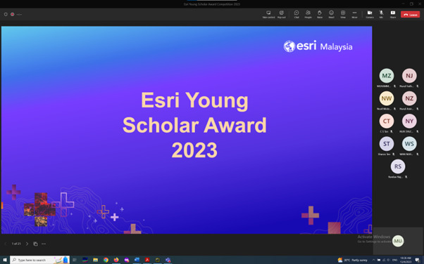
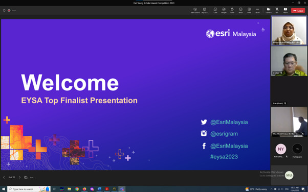
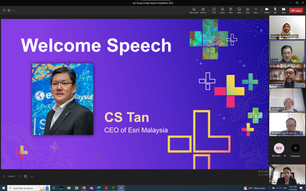
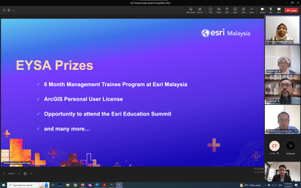
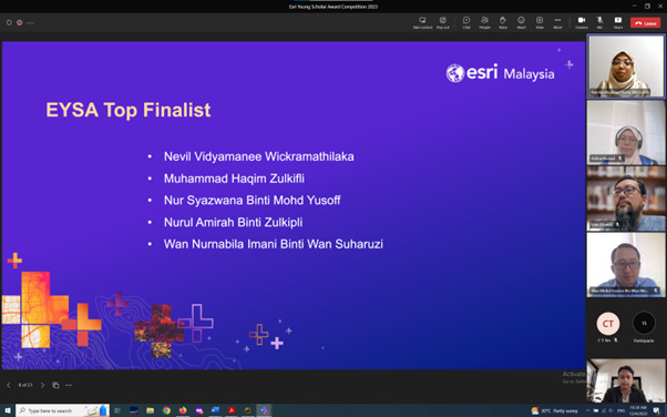
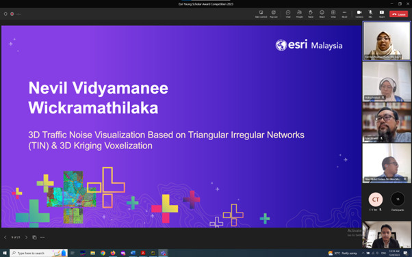
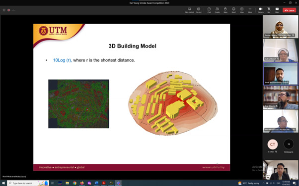
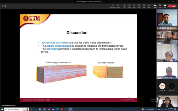
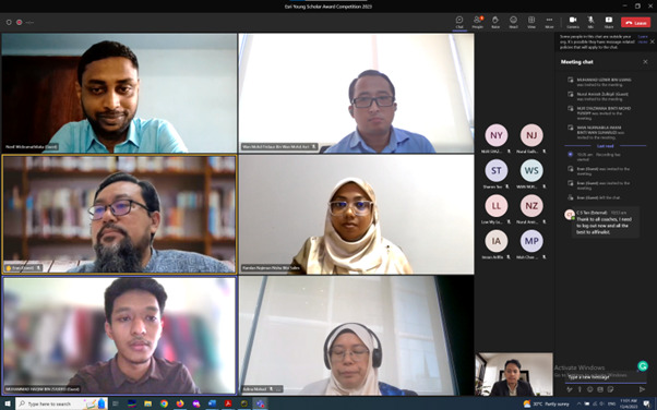
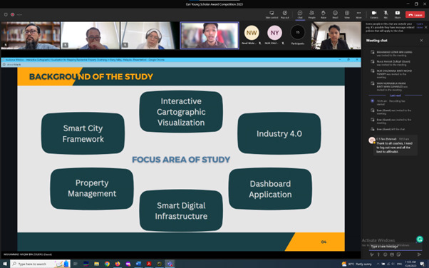
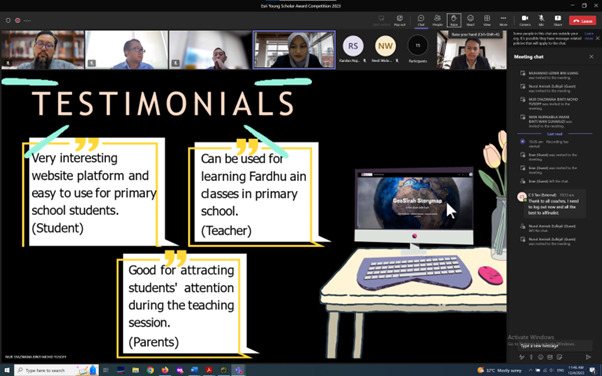
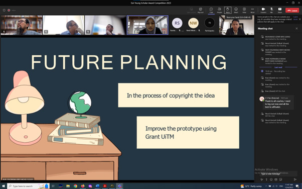
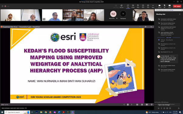
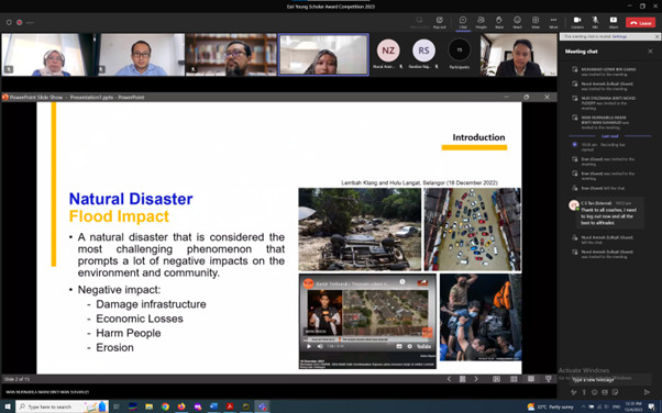
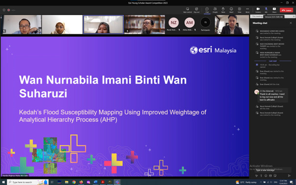
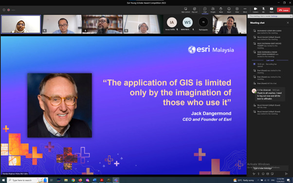
ESRI YOUNG SCHOLAR AWARD 2023
Feeling incredibly honored to be selected as a juror for the ESRI Young Scholar Award 2023! I want to extend my heartfelt thanks to the organizer ESRI Malaysia for entrusting me with this responsibility. It was truly inspiring to review the outstanding work of so many talented young scholars. Also, I couldn’t agree more with ESRI’s mission to support local young scholars. It’s important to nurture the next generation of spatial thinkers, and I’m proud to be a part of an organization initiatives that values that. Let’s continue to support and uplift our local GIS scholars!
#ESRIYoungScholarAward2023 #SupportLocalScholars #YoungScholars #FutureLeaders #ScholarAward2023 #Honored #Grateful #ThankYouESRI #GIS #ESRI #UTM


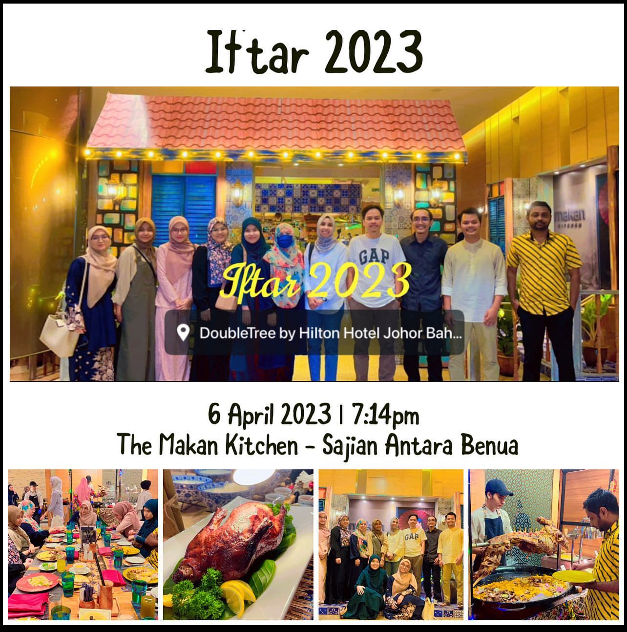
IFTAR 2023
Our lab’s day out. I am happy to invite my MPhil and PhD students for an Iftar session. Sorry for my students who are in their home country, maybe next time we can have this Iftar session again. No academic research discussion today. Only food and chit chat.
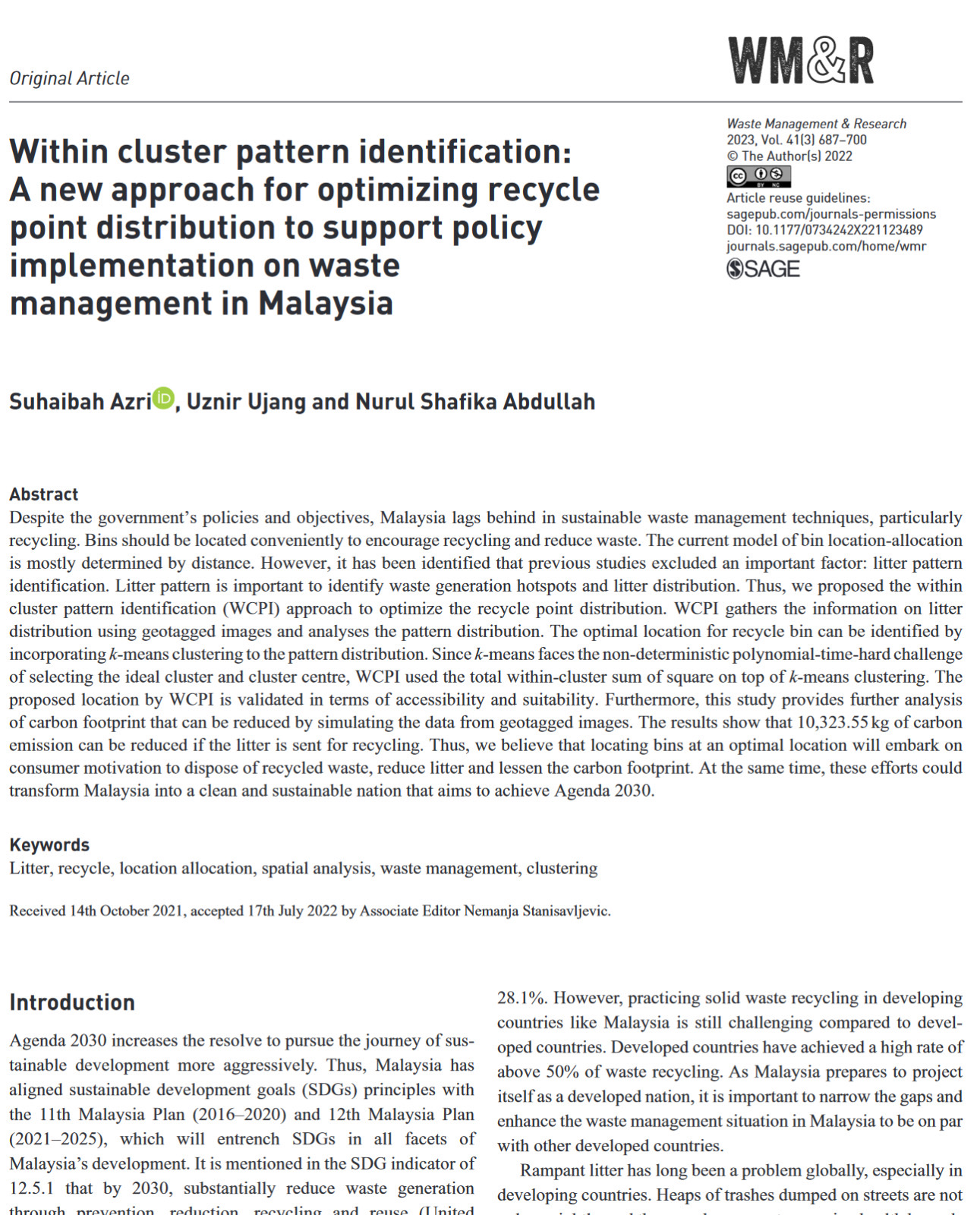
PUBLISHED AND WE GOT IT OPEN ACCESS (FOR FREE)!
Successfully published our research paper in volume 41 for the third edition this year (2023). The interesting part of our study this time is we observe the habits of litter in the community. Quite surprised with the amount of litter we collected within our research area. With the help of geospatial analysis techniques, we can see trends.
However, research is only an instrument for studying the effects of this waste. But the most important thing is the attitude to keep our place clean. Please don’t litter everywhere, guys. We talk about the SDGs, the Sustainable City, the Green Life, etc., but it is useless if there is no right “litter” attitude. It all starts with you (and me).
Title: Within cluster pattern identification: A new approach for optimizing recycle point distribution to support policy implementation on waste management in Malaysia.
Journal: Waste Management & Research
Link: https://journals.sagepub.com/doi/epub/10.1177/0734242X221123489
Quartile: Q2
#community #research #help #sustainable #wastemanagement #gis #geographicinformationsystems #spatialanalysis #litter #sdg #openaccess #highereducation
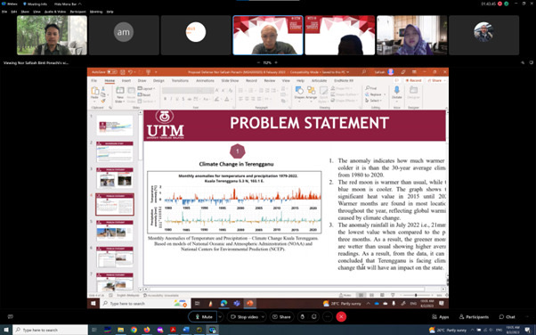
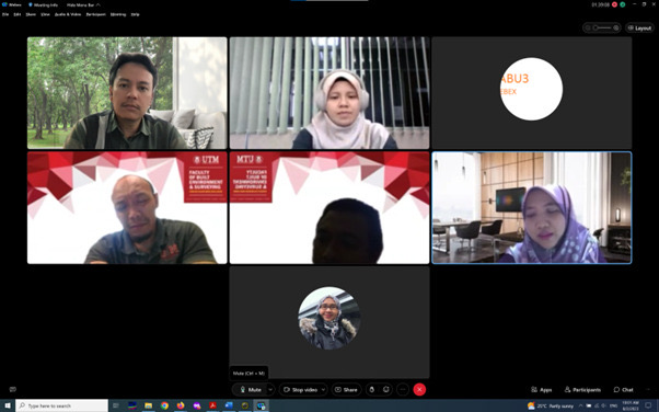
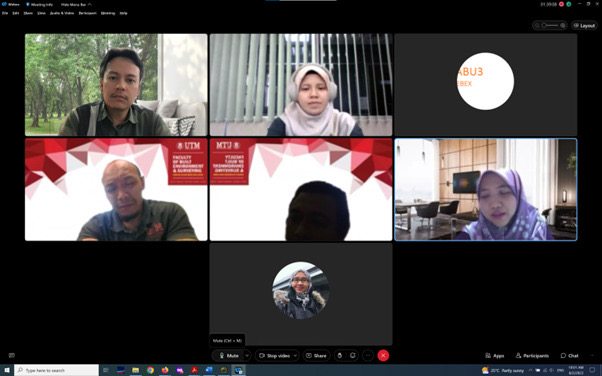
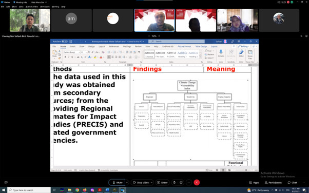
MPHIL PROPOSAL DEFENSE
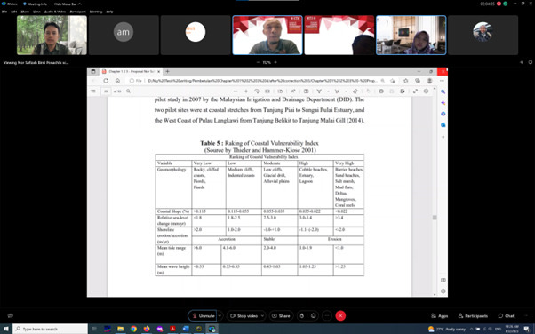
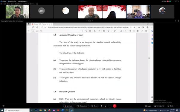
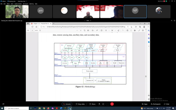
Congratulations to Nor Safizah Ponachi on your MPhil proposal defense. Your determination signifies in the output you produced in the findings. Keep it up!

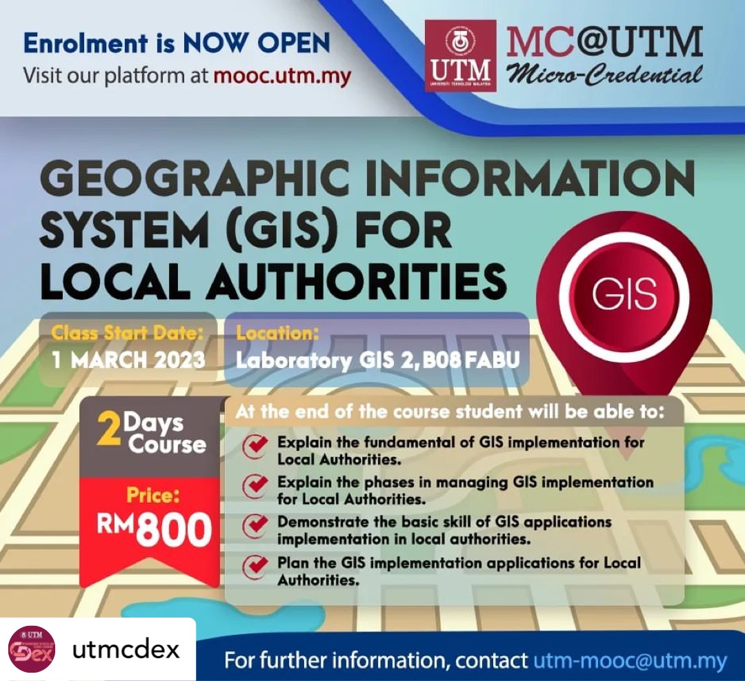
UTM MICRO-CREDENTIAL (GIS FOR LOCAL AUTHORITIES)
I am delighted to announce our latest course, Geographic Information System (GIS) for Local Authorities.
GIS is a geographic information system, which is an important part of Geo-spatial technology. It has wide applications in local authorities areas.
You are expected to learn the basic knowledge of GIS and the basics of GIS implementation in local authorities. Participants can also put their newfound knowledge to use right away by implementing GIS applications in local authorities.
If you are interested to join the course, register here:
#UTMCDex #UTM #OpenLearning #microcredentials
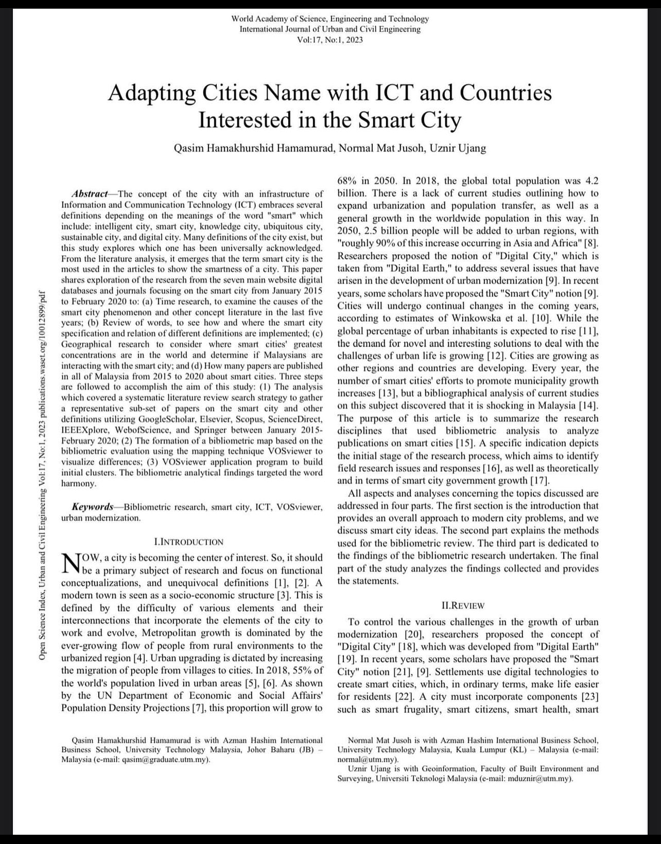
JOURNAL ARTICLE SHARING
This is our first journal publication of this year. The concept of the city with an infrastructure of Information and Communication Technology (ICT) embraces several definitions depending on the meanings of the word “smart” which include: intelligent city, smart city, knowledge city, ubiquitous city, sustainable city, and digital city. Many definitions of the city exist, but this study explores which one has been universally acknowledged. From the literature analysis, it emerges that the term smart city is the most used in the articles to show the smartness of a city. This paper shares exploration of the research from the seven main website digital databases and journals focusing on the smart city from January 2015 to February 2020 to: (a) Time research, to examine the causes of the smart city phenomenon and other concept literature in the last five years; (b) Review of words, to see how and where the smart city specification and relation of different definitions are implemented; (c) Geographical research to consider where smart cities’ greatest concentrations are in the world and determine if Malaysians are interacting with the smart city; and (d) How many papers are published in all of Malaysia from 2015 to 2020 about smart cities. Three steps are followed to accomplish the aim of this study: (1) The analysis which covered a systematic literature review search strategy to gather a representative sub-set of papers on the smart city and other definitions utilizing GoogleScholar, Elsevier, Scopus, ScienceDirect, IEEEXplore, WebofScience, and Springer between January 2015- February 2020; (2) The formation of a bibliometric map based on the bibliometric evaluation using the mapping technique VOSviewer to visualize differences; (3) VOSviewer application program to build initial clusters. The bibliometric analytical findings targeted the word harmony.
Journal name: World Academy of Science, Engineering and Technology
[Urban and Civil Engineering]
Online ISSN : 1307-6892
Articles link:
#technology #digital #engineering #research #communication #strategy #sustainable #science #smartcities #infrastructure #formation #civilengineering
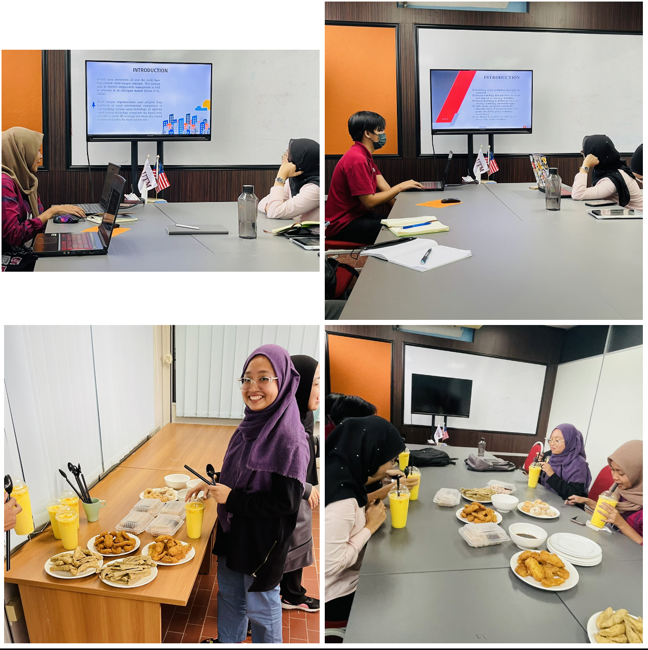
Spending my 3 hours time with final-year BSc Geoinformatics students under my supervision. This mock proposal is not obligated; rather, it is intended to teach students the fundamentals of delivering a proposal defence presentation as well as future presentations (after graduation). This is not a lecturer’s KPI; people say it only adds work. But, regardless of what others say, the important thing is that my students gain new knowledge for future use. And we had “makan-makan” at the end of the session.