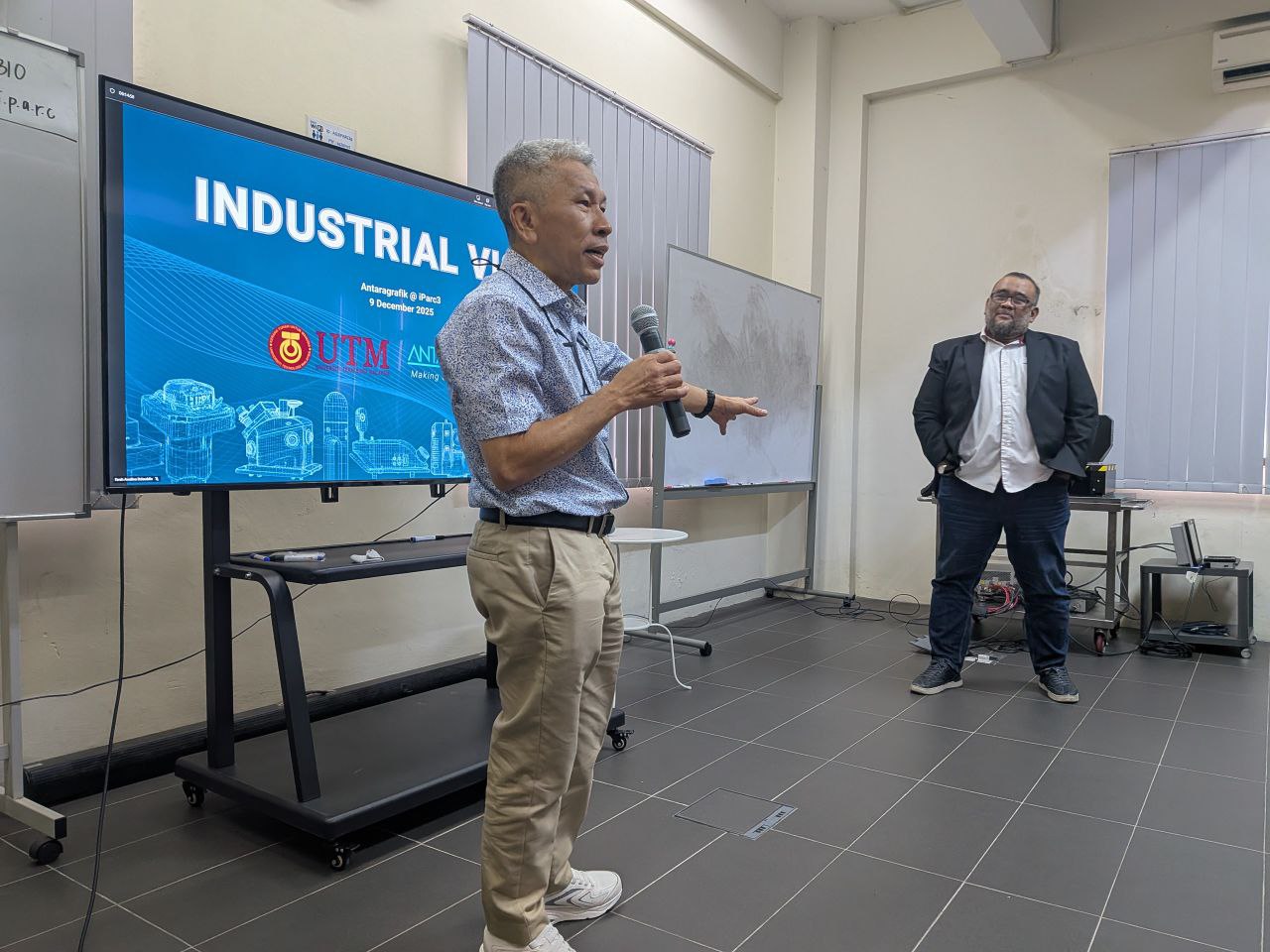
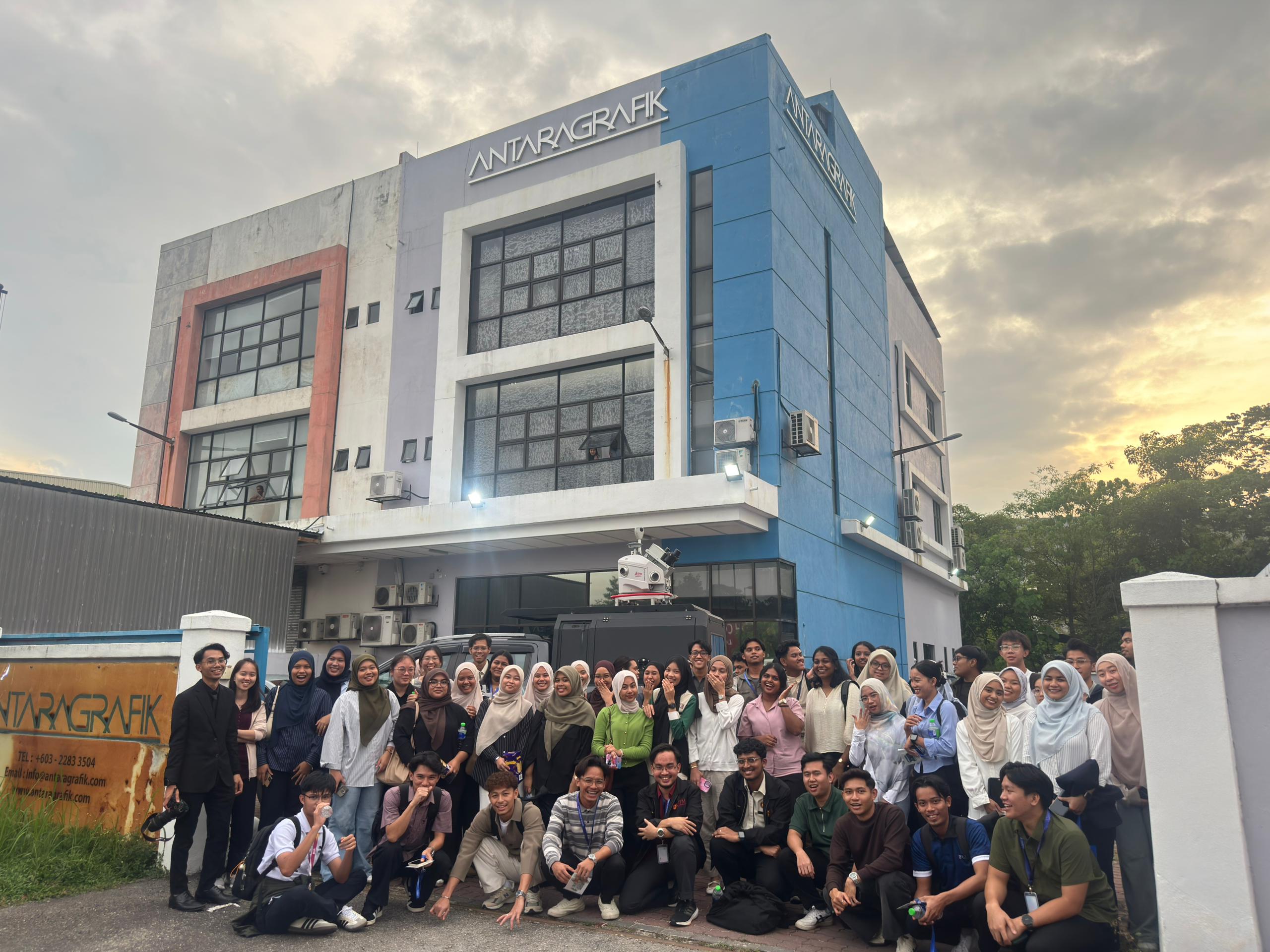
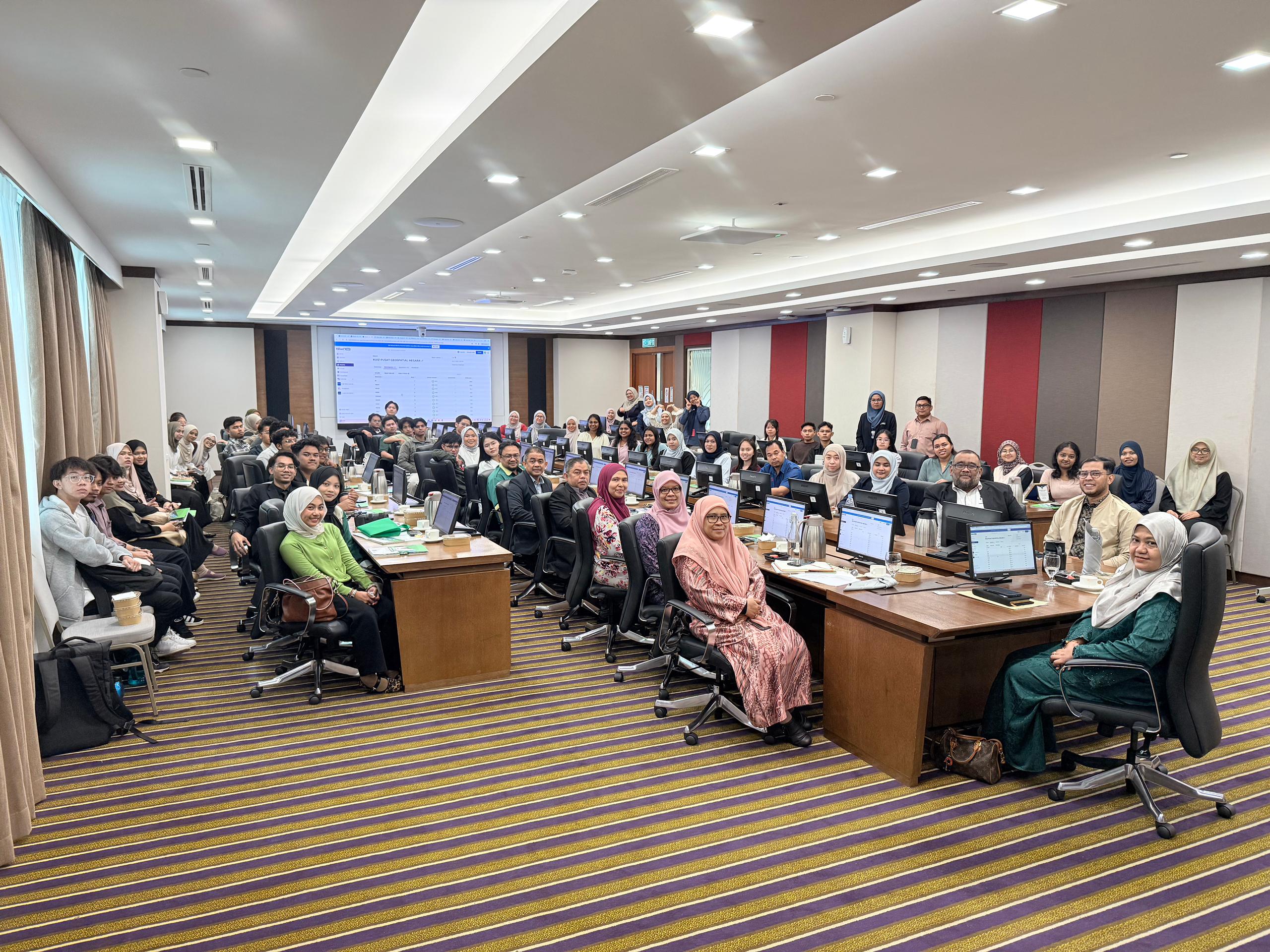
Last week, the GeoConnect 25 delegation had an insightful visit to Antaragrafik Systems Sdn Bhd, one of Malaysia’s leading geospatial solution providers with over three decades of experience in end-to-end geospatial, mapping, and surveying services.
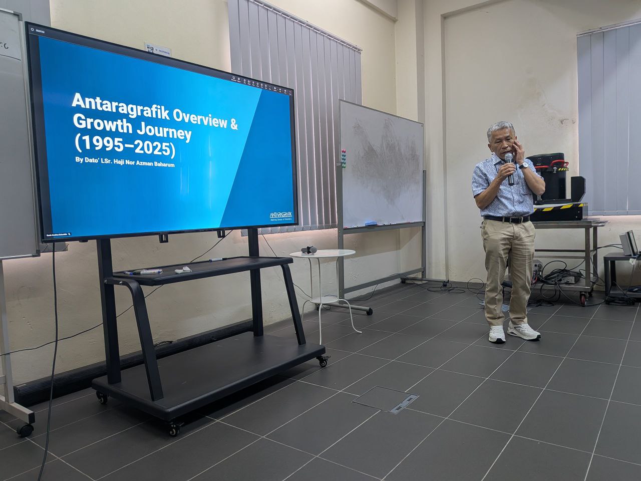
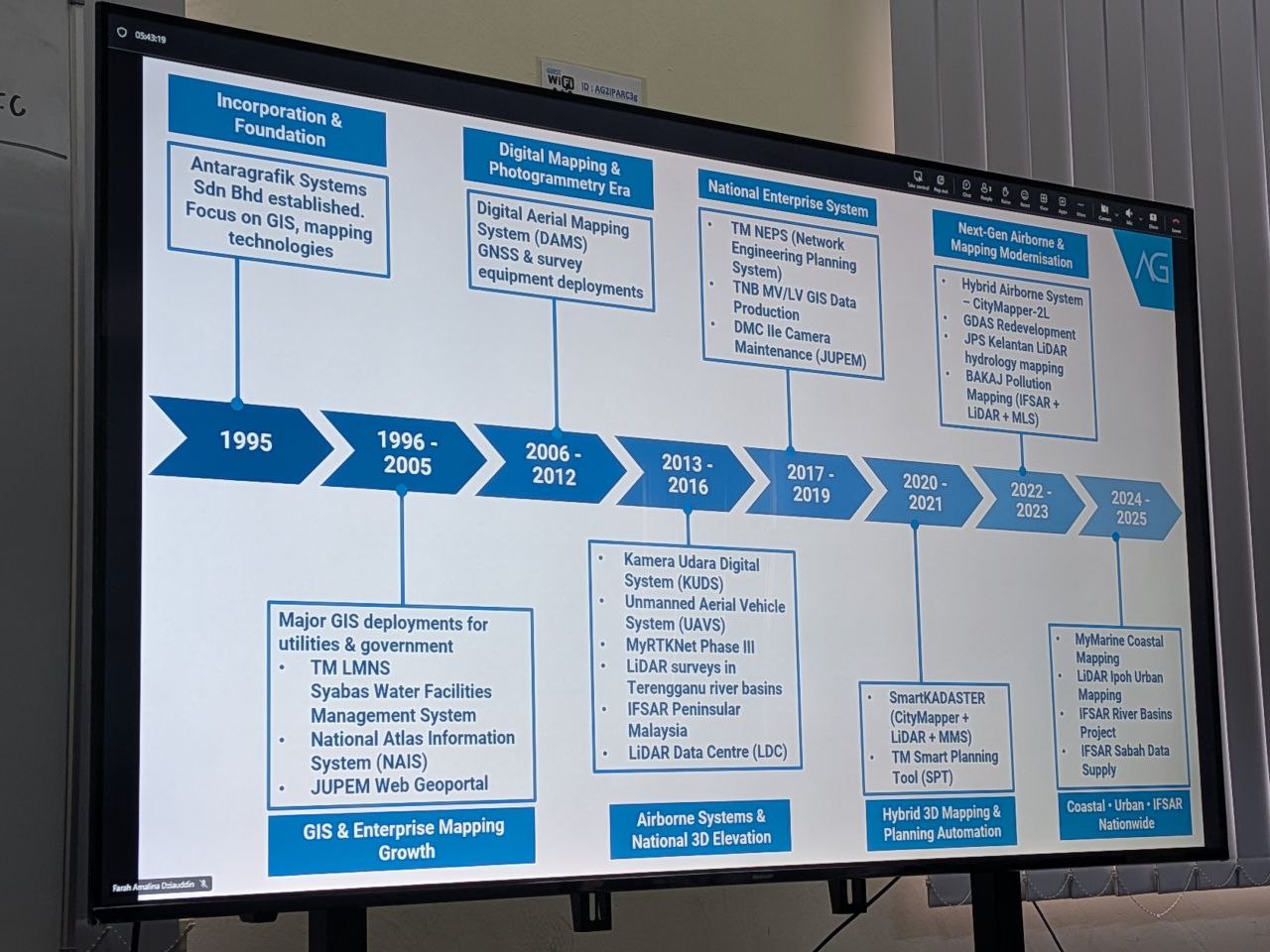
During the visit, we were welcomed by the CEO, Dato’ Sr. Hj. Nor Azman Baharum, along with the Chief of Sales and several team members, who shared rich insights into the company’s history, vision, and future direction in the geospatial industry. Their presentation highlighted Antaragrafik’s journey since its establishment in 1995 and its strong commitment to delivering comprehensive geospatial solutions across sectors.
We were also introduced to advanced technologies currently used in the field, including:
• Hybrid aerial photogrammetry cameras that support precision airborne data capture
• Hybrid mobile TLF systems for versatile terrestrial surveying
• Automated total station equipment for efficient and accurate geospatial measurement
These demonstrations provided participants with practical exposure to cutting-edge tools driving modern geospatial practices.
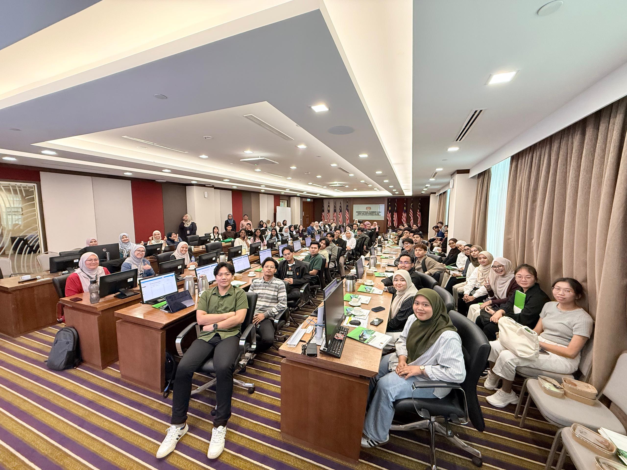
The session continued with interactive quizzes, Q&A, and hands-on activities — where students got the chance to try out the equipment and deepen their understanding of how such technologies are applied in real-world geospatial workflows.
A big thank you to the team at Antaragrafik for the warm reception and knowledge sharing, and to the students from the Geoinfo Club, UTM, for coordinating logistics and engagement throughout the visit.
#GeoConnect25 #Antaragrafik #Geospatial #Geomatics #RemoteSensing #Innovation #UTM #Geoinformatics #IndustryEngagement