Category Archives: Geoinformatics

Bridging Technical Precision & Natural Wonders: Chairing the KKMLGT Meeting at Gombak Geopark!

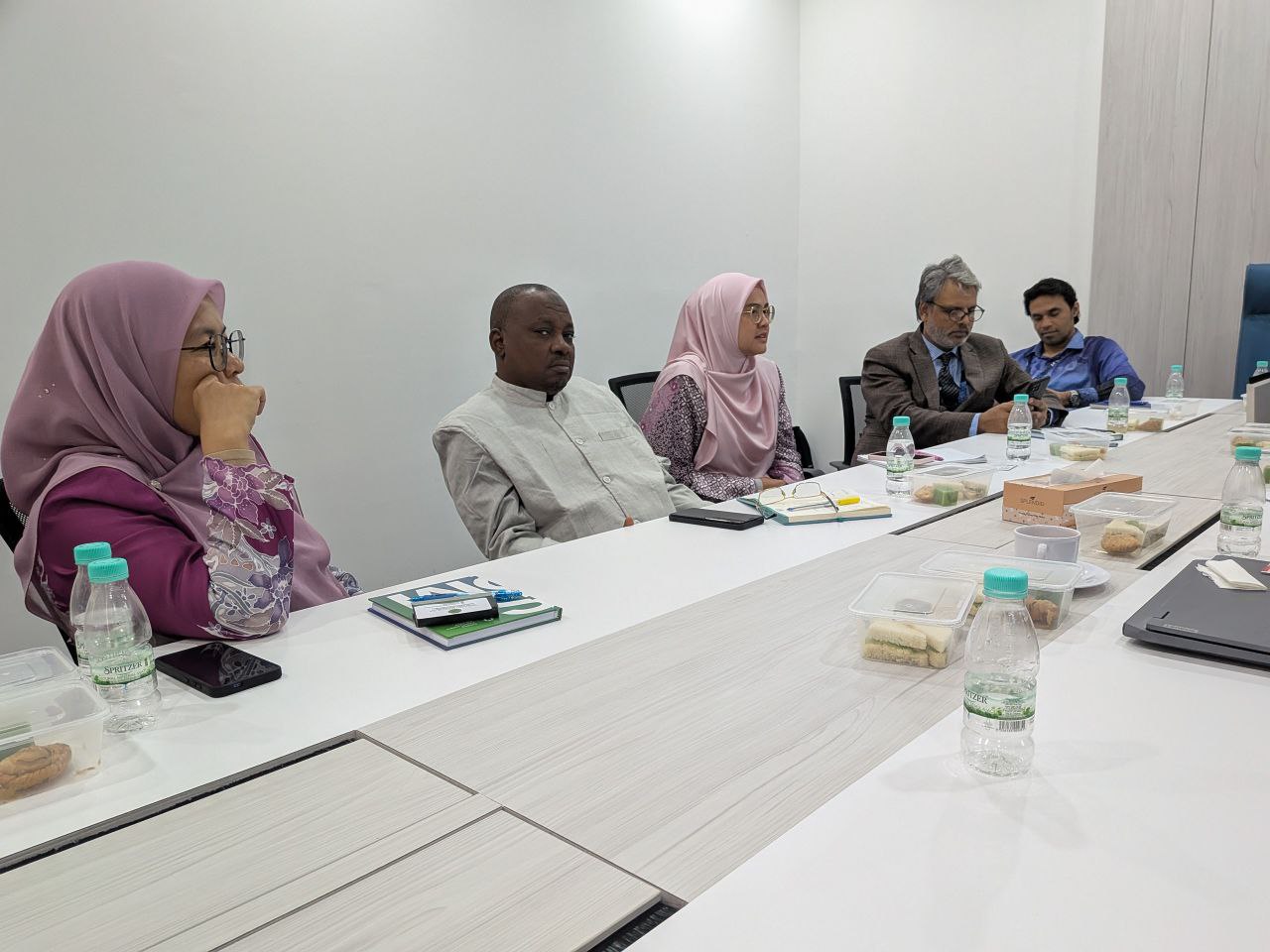
It was a true privilege to chair the KKMLGT (Multi-Lingual Glossary of Terms) Meeting No. 2/2026. This time, we stepped out of the conventional boardroom and gathered in a truly unique setting—Gua Lepak, Gombak!


Standardizing Terminology for the Geospatial Community
Our core mission during this session was continuing the vital work of standardizing technical terms. We translated complex terminology and definitions from international English standards (such as ISO) into Bahasa Melayu. This ongoing effort ensures that our local geospatial and technical community has access to accurate, standardized, and culturally aligned language definitions.

Immersive Field Visit: Gua Lepak & Gua Damai
Holding the meeting at a geopark site allowed us to combine rigorous technical deliberation with a hands-on geological immersion. Following the meeting, we conducted a working visit to two iconic caves within the Gombak Geopark managed by the Department of Mineral and Geoscience Malaysia (JMG): Gua Lepak and Gua Damai.

During the tour, our team received an enriching geological briefing detailing:
– Limestone Cave Formation: The fascinating origin stories and chemical processes that shaped these ancient cave systems over millions of years.
– Speleothems: How majestic stalactites and stalagmites slowly form drop by drop.
– Tectonic Evolution: The deep geological history behind the uplift and formation of the main backbone of Peninsular Malaysia, the Titiwangsa Range (Banjaran Titiwangsa).

Connecting Words with Earth
There is something deeply grounding about discussing geospatial standardization surrounded by millions of years of Earth’s history. Connecting technical language development with real-world geological landscapes reminds us why preserving, understanding, and accurately describing our spatial environment is so crucial.


A big thank you to all committee members and JMG officers for a highly productive meeting and an enlightening field experience!

hashtag#Geospatial hashtag#LanguageStandardization hashtag#KKMLGT hashtag#GombakGeopark hashtag#GuaLepak hashtag#GuaDamai hashtag#JMG hashtag#Geology hashtag#ISO hashtag#Malaysia

Off to Teluk Gorek – Visiting GIS Training Camp!

Just completed a site visit to the GIS Training Camp (KLGIS) at Teluk Gorek, Mersing!

The KLGIS (GIS Training Camp) program is a crucial field platform for students to translate theoretical knowledge into practical reality. Throughout this camp, they have the opportunity to strengthen their technical skills and gain hands-on experience in various fieldwork processes, including:

🔹 Traverse Surveying 🔹 Detailing 🔹 Airborne Mapping 🔹 LiDAR Technology Applications

Aside from overseeing the smooth execution of the program, the main purpose of my visit was to provide moral support and a boost of encouragement. A massive kudos and congratulations to the dedicated camp facilitators and the resilient students who are braving the challenges of fieldwork out there.

Fieldwork experiences like these are what build the endurance and technical competencies highly sought after by the industry. Keep up the excellent work, and may the knowledge gained at Teluk Gorek leave a lasting impact on your future careers! 🚀🌍

#KLGIS #Geospatial #GIS #Surveying #LiDAR #AirborneMapping #TelukGorek #Mersing #AcademicLife #FutureProfessionals

A Proud Supervisor Moment! 🌟 Celebrating ‘Pasukan Five Hundred’ at the ASEAN Geospatial Challenge 2026

I am incredibly honored and proud to share that my students—representing Universiti Teknologi Malaysia (UTM)—have been awarded the prestigious Certificate of Merit at the recent ASEAN Geospatial Challenge 2026!

It has been an absolute privilege to help this dedicated team, Pasukan Five Hundred. Guiding them through the intensive preparation process, watching them brainstorm, refine their technical concepts, and push their limits to innovate sustainable geospatial solutions has been a truly inspiring journey for me.

Join me in congratulating these brilliant minds:

  • Nur Farihan binti Abd Rahim (PhD in Geoinformatics)
  • Mohd Nizar bin Hashim (PhD in Geoinformatics)
  • Muhammad Hanis bin Rashidan (PhD in Geoinformatics)
  • Nurul Asyiqin binti Mohd Salleh (Master in Geoinformatics)

Your hard work, perseverance, and teamwork have truly paid off. This ASEAN-level recognition is just the beginning of your bright futures in the geospatial industry. The Faculty of Built Environment and Surveying (FABU) and I are beyond proud of your achievement!

Let’s keep innovating and driving impactful solutions for a better tomorrow. 🗺️💡

#UTM #Geoinformatics #ASEANGeospatialChallenge #ProudSupervisor #Geospatial #InnovatingSustainableSolutions #TeamSuccess #AcademicJourney #FABU #Malaysia

Sustaining Excellence in National Standards: Progressing the NSC 07/TC 2 Agenda

Continuity is vital in the complex world of standardization. I recently attended the latest session of the Technical Committee on Geographic Information/Geomatics (NSC 07/TC 2), continuing my role as a representative for Universiti Teknologi Malaysia (UTM).

This meeting was a significant step forward in our ongoing mission to refine Malaysia’s geospatial framework. We are currently in the final stages of reviewing two critical documents:

1. MS 1759 (Amendment): Geographic information/geomatics – Feature and attribute codes.

2. MS 2039 (Amendment): Addresses – Standard Format – Requirements.

By consistently revisiting and enhancing these standards, we ensure that our national data infrastructure remains synchronized with technological advancements and industry demands.

Our work doesn’t stop at the national level. As part of our committee’s ongoing commitment to international excellence, we also finalized preparations for Malaysia’s active participation in the global ISO technical meetings. This May 2026, our journey continues in Ottawa, Canada, where we will represent Malaysia’s interests and stay aligned with global geospatial trends.

Being part of this long-term process is a rewarding experience. It’s about ensuring that the foundation we build today supports the digital and geospatial innovations of tomorrow.

#Geospatial #Geomatics #UTM #ISOStandards #NationalStandards #MS1759 #MS2039 #Standardization #Ottawa2026 #GlobalCollaboration #ContinuousImprovement #TechnicalCommittee

The Journey Continues: Advancing the Multi-Lingual Glossary of Terms (MLGT) for Geospatial Standards

Continuity is the key to precision. I recently resumed my role as Chairperson for the Multi-Lingual Glossary of Terms (MLGT) Working Group under NSC7/TC2, continuing our vital mission to bridge the gap between global ISO standards and our national language.

Our task remains steadfast: translating complex English technical terms from ISO documents into Bahasa Melayu, ensuring every definition carries the exact technical weight required for the geospatial and geographic communities.

Progress Report: Staying the Course

In our latest session, we focused on “pemutihan” (refinement) and alignment, ensuring our work is perfectly synchronized with the ISO Geolexica portal and ready for integration into the PRPM by Dewan Bahasa dan Pustaka (DBP).

  • Current Milestone: 329 terms have now been successfully translated.
  • Latest Refinement: 19 terms underwent a rigorous review to ensure absolute alignment with international standards.
  • Efficiency in Selection: 224 terms were deprecated to ensure our glossary remains concise and relevant.
  • The Road Ahead: With approximately 900 terms still on the horizon, the process continues.

Standardizing a technical language is a marathon, not a sprint. By persisting in this work, we are ensuring that our local professionals have the clarity they need to implement global best practices with confidence.

Proud of the steady progress we are making, one term at a time.

#Geospatial #ISOStandards #MLGT #Standardization #NationalMapping #DBP #Geolexica #GeographicInformation #ProfessionalLeadership #BahasaMelayu #TechnicalTranslation

New Publication Alert!: Bridging Spatial Data Sharing and Smart City Innovation

I am excited to share that my latest research chapter, “Spatial Data Sharing in Smart Cities Implementation: A Systematic Literature Review,” has been published by Springer Nature!

As cities worldwide transition into “Smart Cities,” the ability to share, integrate, and visualize spatial data—from GIS and remote sensing to drone technology—becomes the backbone of urban sustainability and citizen well-being.

Key Insights from the Chapter:

~ Global Trends: Our systematic review (using the PSALSAR technique) highlights that the Asian region, particularly China, is leading the discourse in this field.
~ Core Challenges: We scrutinized five critical areas—Technology, Data Quality, Social impact, Environmental factors, and Governance.
~ Future Roadmaps: The study outlines four strategic directions, including empowering community collaboration in Spatial Data Infrastructure (SDI) and transforming governance toward “Spatial Enablement.”

In an era where “Location Intelligence” drives decision-making, understanding the hurdles of data compatibility, security, and accessibility is crucial for researchers and urban planners alike.

🔗 Read the full chapter here: https://lnkd.in/gnXVKftG

A big thank you to the editorial team for bringing this comprehensive review to life. I hope this work serves as a valuable resource for those shaping the future of our urban ecosystems.

#SmartCities#SpatialData#GIS#SpringerNature#ResearchPublication#UrbanPlanning#DigitalTransformation#SDI#LocationIntelligence#AcademicWriting
Advancing National Data Ecosystems: AI & Geospatial Integration in BUDI95

I am deeply honored to be featured in Bernama alongside Dr. Mohamad Shukor Talib, discussing the future of national data management.

Our feature highlights how BUDI95 (an integrated database system) is not just a repository, but a potential cornerstone for a National Data Management Ecosystem. By leveraging Artificial Intelligence (AI) and Geospatial Technologies, we can transform raw data into actionable insights for more precise and impactful decision-making.

A huge thank you to Bernama for providing a platform to share these academic perspectives. We believe that the synergy between advanced technology and robust data frameworks is the key to a more digitally resilient Malaysia.

🔗 Read the full feature here: BERNAMA – BUDI95 Berpotensi Jadi Ekosistem Pengurusan Data Nasional

#Bernama #BUDI95 #DataScience #AI #Geospatial #NationalDataEcosystem #AcademicInsight #DigitalMalaysia #TechForGood

Memperkenalkan Research-Led Teaching dalam Kursus Pengajaran

Pengajaran dan pembelajaran di peringkat tertier (universiti) perlu sentiasa berkembang dan ditambahbaik, seiring dengan penemuan dan kajian terkini yang telah didapati.

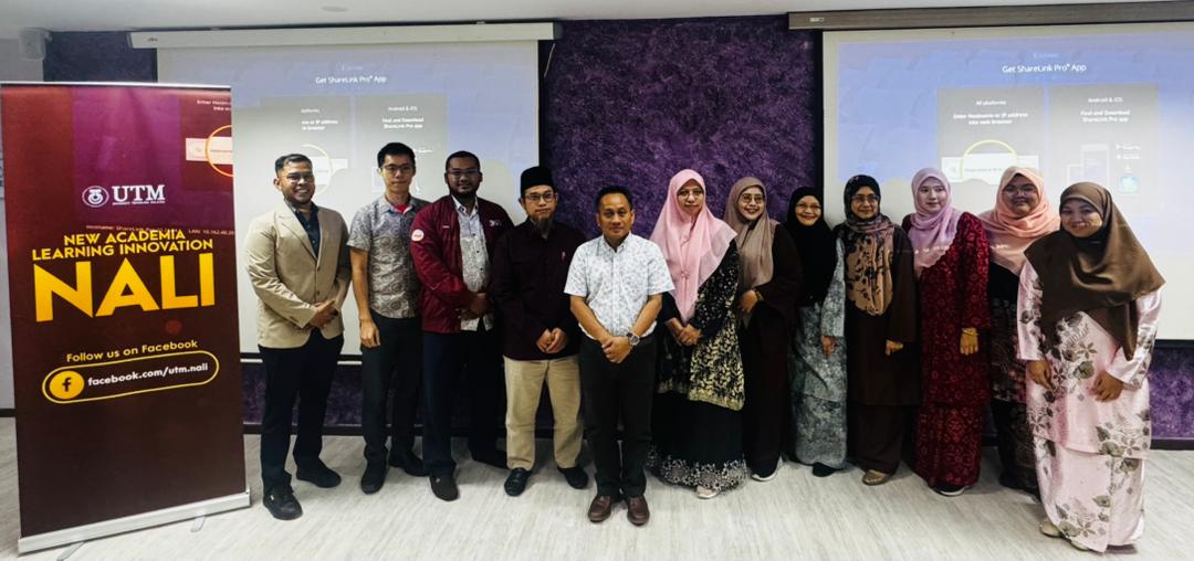
Akan tetapi, kebanyakan kaedah pengajaran dan pembelajaran masih kekal statik, dengan kaedah penyampaian kuliah dan amali sahaja. UTM dengan beberapa inisiatif di bawah New Academia Learning Innovation telah memperkenalkan dan meningkatkan kaedah pembelajaran yang lebih aktif dan berkesan sesuai dengan zaman yang semakin mencabar. 

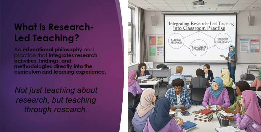
Salah satu kaedah pembelajaran dan pengajaran yang dapat mengaitkan pelajar dengan kajian dan penemuan terkini adalah dengan satu kaedah dikenali sebagai Research-Led Teaching. 

*Sumber: Nota Prof Ir. Ts. Dr. Sharifah Rafidah binti Wan Alwi

Research-Led Teaching bertujuan untuk mengintegrasikan pengajaran berasaskan aktiviti berasaskan kajian. Ianya menambah pengalaman melaksanakan kajian dalam kelas pengajaran kursus. 

Terdapat empat kaedah pelaksanaan Research-Led Teaching ini, iaitu: Research-based, Research-Oriented, Research-driven, dan Research-tutored. Boleh baca secara mendalam di laman web UTMCDeX: https://utmcdex.utm.my/research-led-teaching/ 

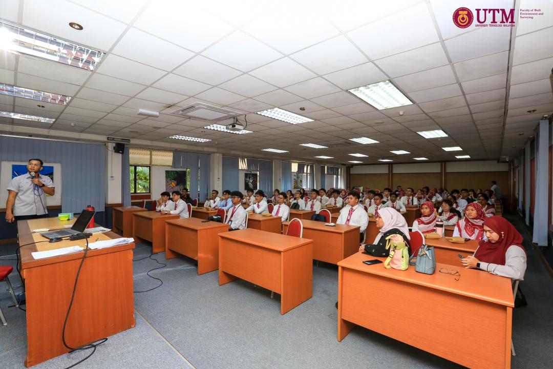
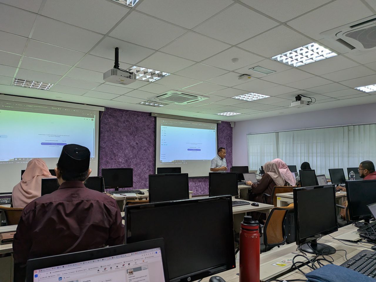
Bagi menambahbaik pelaksanaan kursus Spatial Data Management, kaedah Research-Tutored telah diimplementasikan dalam kelas. Ianya memberikan pelajar yang mengambil kursus ini untuk melaksanakan sebahagian cara melaksanakan kajian. 

Pelajar diberikan tajuk khusus, dan diminta mencari rujukan dalam laman sesawang jurnal, seperti WOS dan Scopus. Pelajar juga didedahkan kaedah menggunakan perisian Mendeley bagi mempercepatkan proses membuat rujukan kelak. Pelajar diminta untuk mencari sekurang-kurangnya 5 artikel jurnal dalam laman sesawang yang dinyatakan. 

Selepas mendapat artikel jurnal ini, pelajar kemudiannya dikehendaki membaca, dan mengenalpasti beberapa perkara utama, antaranya apa tujuan kajian, apa permasalahan, kaedah yang digunakan dalam kajian itu, serta data yang digunakan dalam kajian tersebut. Pelajar kemudiannya diminta untuk mengkelaskan kajian-kajian yang didapati. Kemudian dibentangkan dalam kelas. 

Sesi soal-jawab antara rakan sekelas seterusnya dibuat, untuk melihat, adakah betul hasil kerja dilaksanakan oleh kumpulan tersebut, dan seterusnya persoalan kritikal akan dilontarkan bagi meningkatkan kefahaman pelajar.

Kaedah Research-Led Teaching (Pembelajaran Terpandu-Kajian) ini sangat diperlukan bagi menambahbaik pekerjaan semasa. Lebih-lebih lagi kerajaan menetapkan Malaysia mencapai Negara Berpendapatan Tinggi, yang sangat memerlukan kepada inovasi dalam pelbagai bidang. Dan salah satu kaedahnya, adalah dengan mengkaji kajian terdahulu, serta mengkaji bagaimana penambahbaikan rekabentuk, produk, atau model itu boleh dilaksanakan.

GeoConnect 25 Visit — Antaragrafik Systems Sdn Bhd

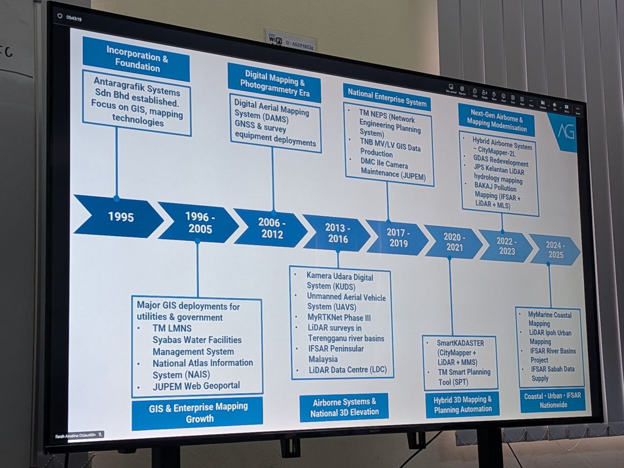
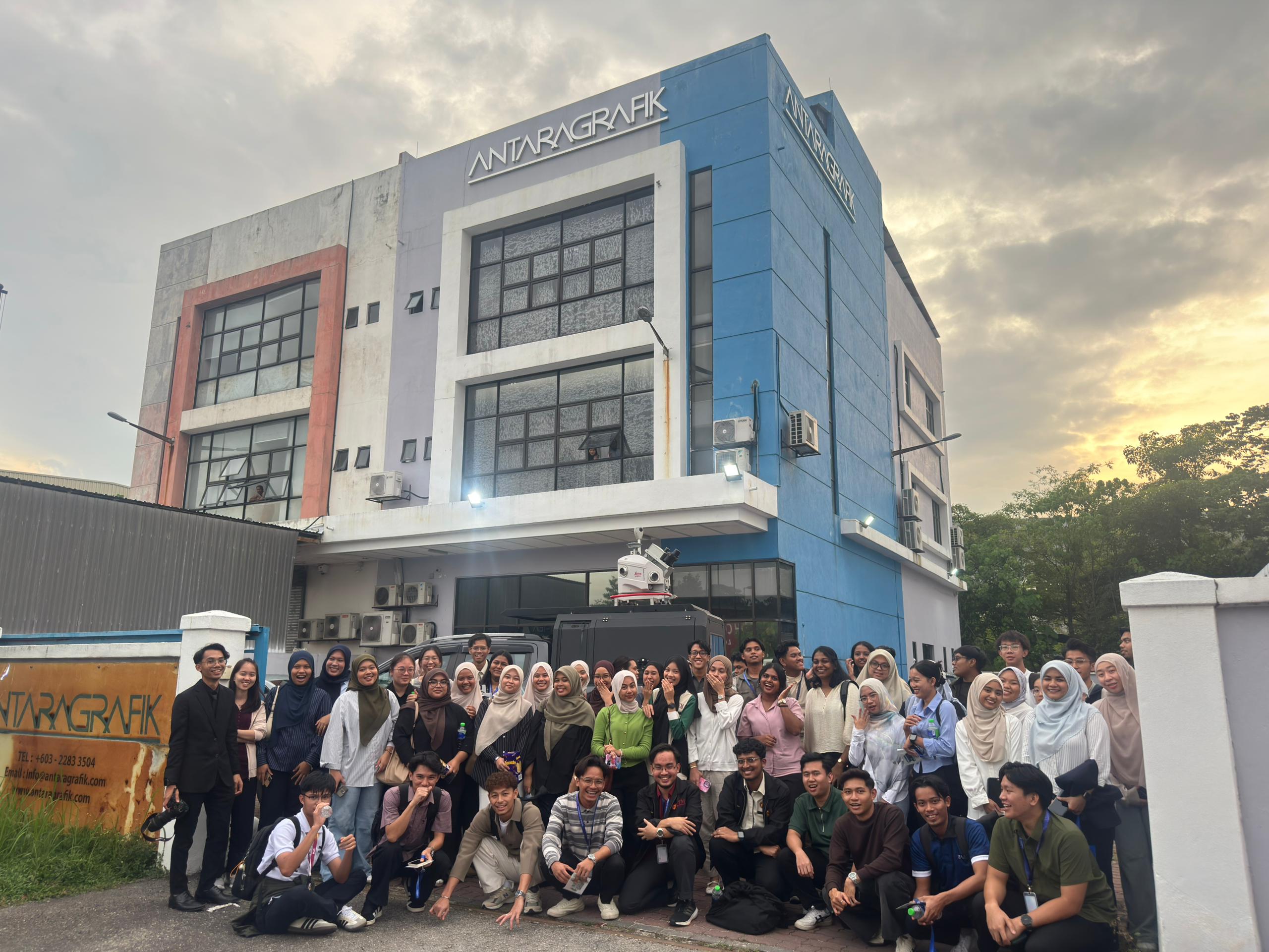
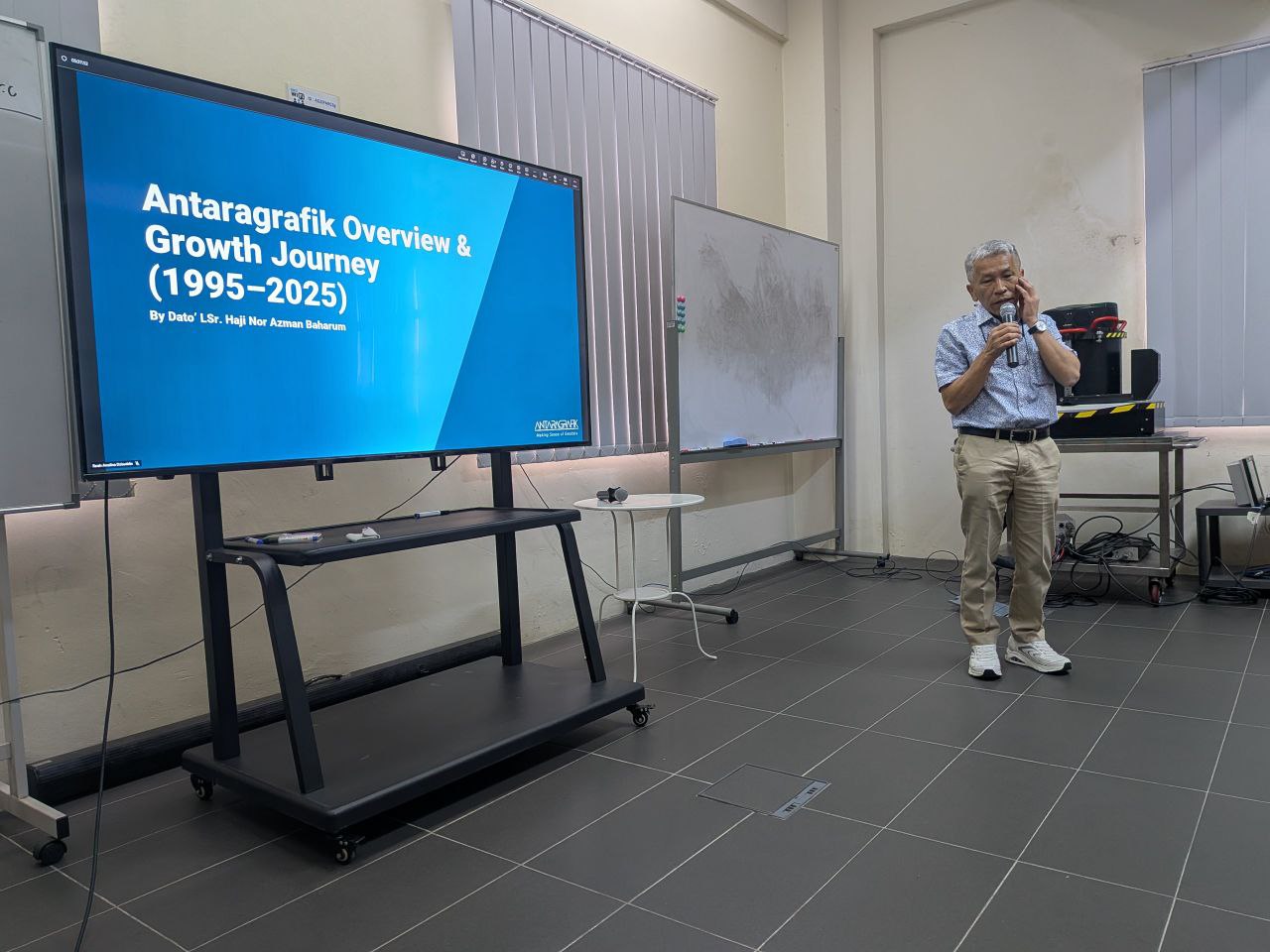
Last week, the GeoConnect 25 delegation had an insightful visit to Antaragrafik Systems Sdn Bhd, one of Malaysia’s leading geospatial solution providers with over three decades of experience in end-to-end geospatial, mapping, and surveying services.

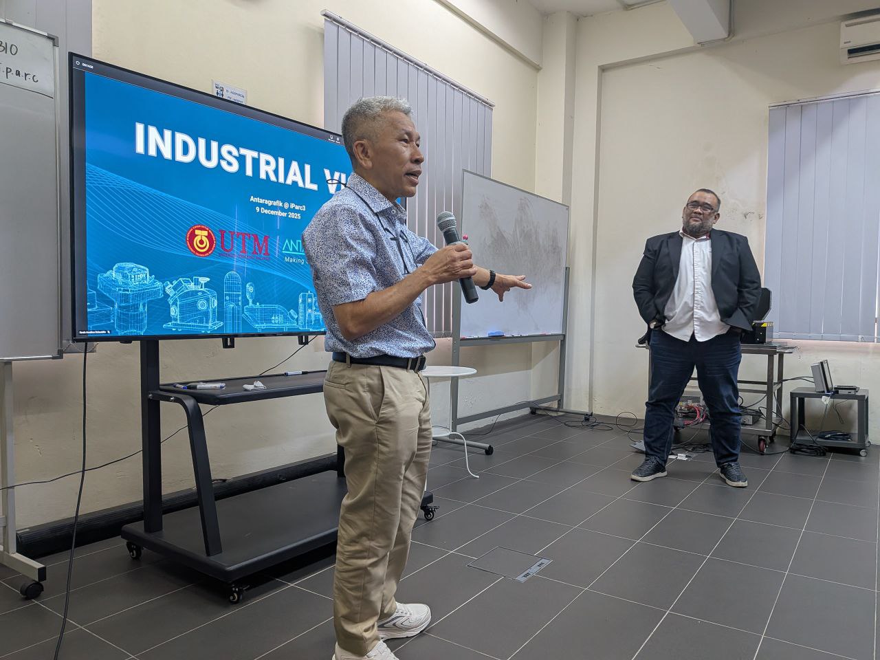
During the visit, we were welcomed by the CEO, Dato’ Sr. Hj. Nor Azman Baharum, along with the Chief of Sales and several team members, who shared rich insights into the company’s history, vision, and future direction in the geospatial industry. Their presentation highlighted Antaragrafik’s journey since its establishment in 1995 and its strong commitment to delivering comprehensive geospatial solutions across sectors.

We were also introduced to advanced technologies currently used in the field, including:
Hybrid aerial photogrammetry cameras that support precision airborne data capture
Hybrid mobile TLF systems for versatile terrestrial surveying
Automated total station equipment for efficient and accurate geospatial measurement

These demonstrations provided participants with practical exposure to cutting-edge tools driving modern geospatial practices.

The session continued with interactive quizzes, Q&A, and hands-on activities — where students got the chance to try out the equipment and deepen their understanding of how such technologies are applied in real-world geospatial workflows.

A big thank you to the team at Antaragrafik for the warm reception and knowledge sharing, and to the students from the Geoinfo Club, UTM, for coordinating logistics and engagement throughout the visit.

#GeoConnect25 #Antaragrafik #Geospatial #Geomatics #RemoteSensing #Innovation #UTM #Geoinformatics #IndustryEngagement