Alhamdulillah. UTM Virtual 3D City Campus manuscript have been accepted for publication in ISPRS Special Issue Journal. Now UTM have its own virtual campus guys 😎

Alhamdulillah. UTM Virtual 3D City Campus manuscript have been accepted for publication in ISPRS Special Issue Journal. Now UTM have its own virtual campus guys 😎
EXTERNAL PHD EXAMINER AT AZMAN HASHIM INTERNATIONAL BUSINESS SCHOOL
Opportunity to be as an external examiner for PhD student named Hama Qasim Hama Qushid from Iran. Qasim is a student at Azman Hashim International Business School (AHIBS). I was also informed after the defense session that Qasim is also a consultant who is actively involved in GIS-related work in his country.
The topic of his research is on spatial data sharing for smart cities in Malaysia. Quite an interesting topic. But in reality it is not a straightforward research if the research scope is not well defined. I love to help and give suggestions to improve his research and to make it achievable. In fact, this will benefit geospatial data sharing in Malaysia.
All the best Qasim!
#externalexaminer #phd #spatial #sharing #sdi #mygdi #ahibs #utm #highereducation #gis #datasharing #smartcities


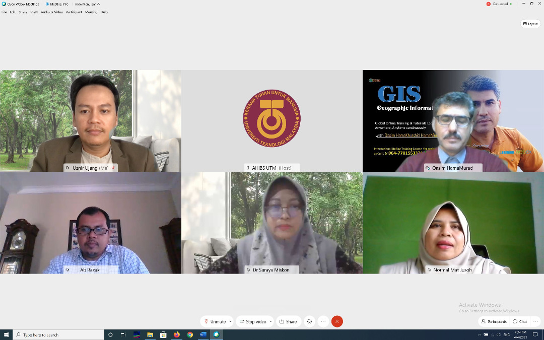


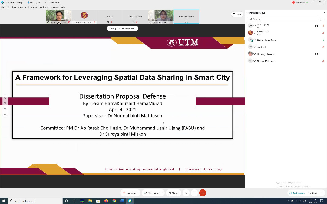
EXTERNAL PHD EXAMINER AT AZMAN HASHIM INTERNATIONAL BUSINESS SCHOOL
Opportunity to be as an external examiner for PhD student named Hama Qasim Hama Qushid from Iran. Qasim is a student at Azman Hashim International Business School (AHIBS). I was also informed after the defense session that Qasim is also a consultant who is actively involved in GIS-related work in his country.
The topic of his research is on spatial data sharing for smart cities in Malaysia. Quite an interesting topic. But in reality it is not a straightforward research if the research scope is not well defined. I love to help and give suggestions to improve his research and to make it achievable. In fact, this will benefit geospatial data sharing in Malaysia.
All the best Qasim!
#externalexaminer #phd #spatial #sharing #sdi #mygdi #ahibs #utm #highereducation #gis #datasharing #smartcities

UNITED NATION – GLOBAL GEOSPATIAL INFORMATION MANAGEMENT (UN-GGIM)
I had the opportunity to participate in the UN GGIM roundtable session this time. The transition from SDI to GKI is exciting. But in my opinion, on the ground the approach to spatial data sharing in Malaysia is still not a 100%reality. Even between units or departments.
But one day we will be there. Hopefully by then we are still not too late.
P.s: Happy to see my colleague Zaffar Sadiq Mohamed-Ghouse in the session. We managed to get his point of view. Excellent 👍🏻


UTM 106th Professorial Inaugural Lecture Series
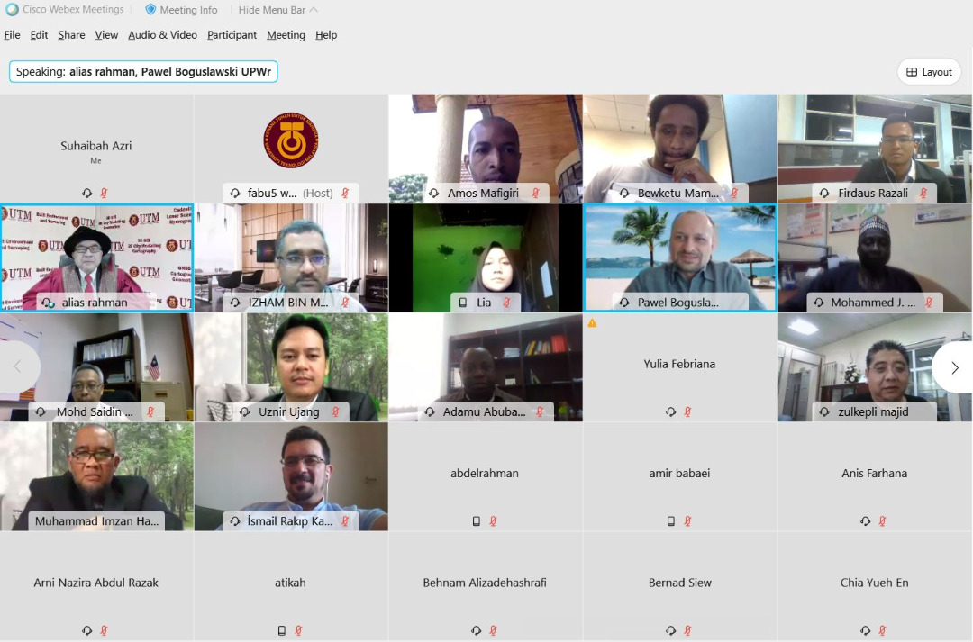
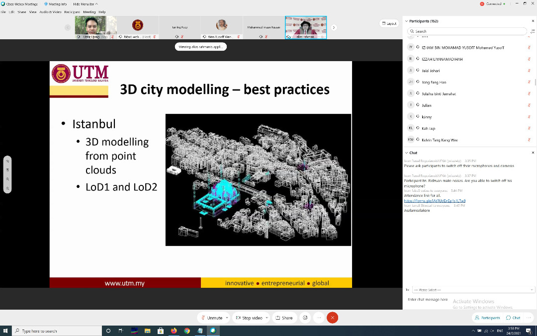
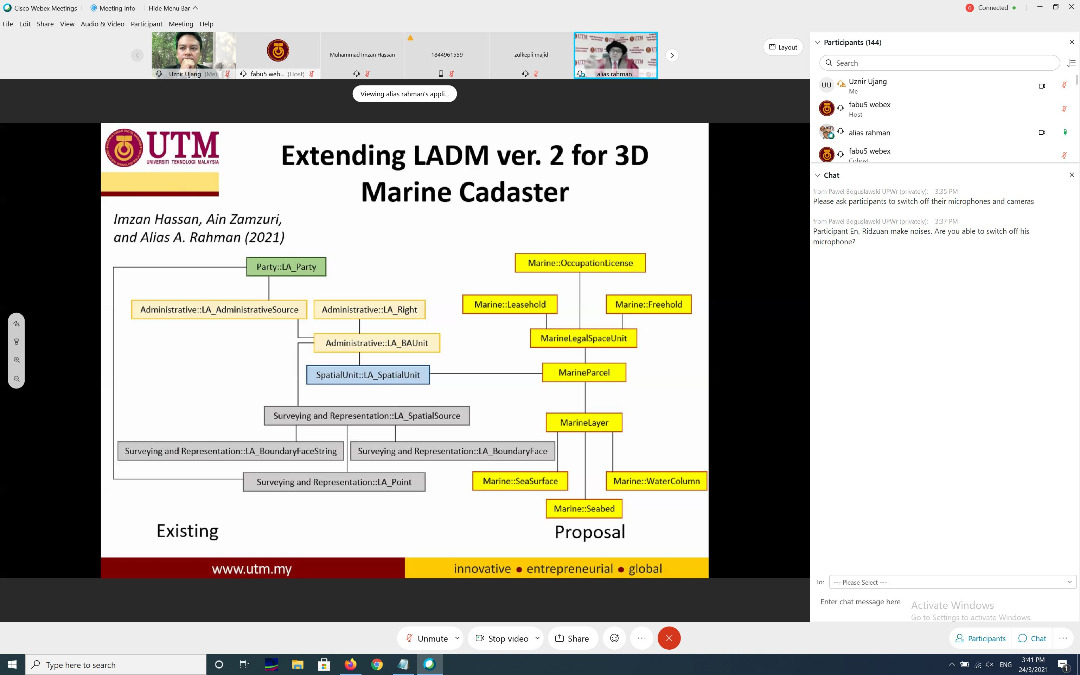
Honored to be the chairman of the Universiti Teknologi Malaysia (UTM) 106th Professorial Inaugural Lecture Series session. The speaker was Professor Sr. Dr. Alias Abdul Rahman with the lecture title 3D GIS and 3D City Modeling- Current Status and Perspectives. I was chosen to be the chairman because the topic discussed was the topic of my research expertise as well.
This chairman appointment from the UTM Deputy Vice-Chancellor Academic and International, becomes a little unusual when this lecture is conducted online (Webex and Facebook Live). But the good thing is that it can be attended by friends of researchers from all over the world. I feel happy to be the chairman of the series this time.
#3DGIS #3Dtalk #3Dfuture #3Dcitymodeling #professorial #inaugural #lecture #series #utm #106th



INTERNATIONAL CONFERENCE ON SMART CITY AND APPLICATIONS 2020 (SCA2020)
Paper #4
The Malaysian government has issued a procedure for the management of government assets. Among them is MYSPATA. This research article highlights the conceptual model of integrating 3D features in asset management by referring to the standard produced for better and efficient asset management.
Here you go!!!
A. A. M. Nasir, S. Azri, U. Ujang, and Z. Majid
International Archives of Photogrammetry, Remote Sensing and Spatial Information Science,
Volume: XLIV-4/W3-2020, 313–322,
DOI: https://doi.org/10.5194/isprs-archives-XLIV-4-W3-2020-313-2020, 2020
URL: https://www.int-arch-photogramm-remote-sens-spatial-inf-sci.net/XLIV-4-W3-2020/313/2020/
#3dassetmanagement #3dgis #myspata #smartcity #3dapplication
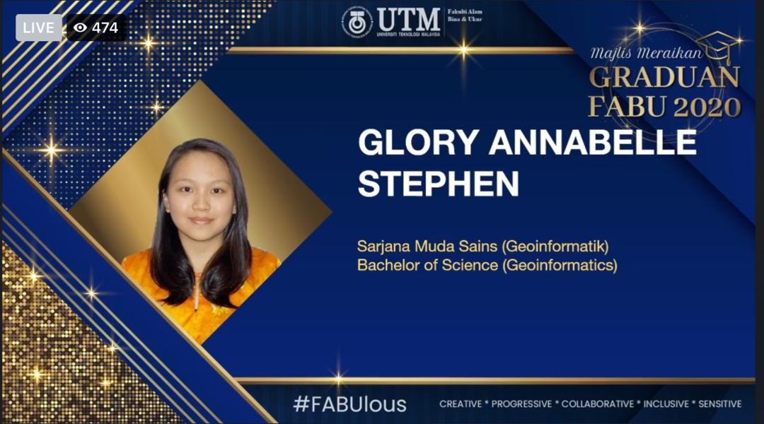
My excellent students. I’m glad to be their supervisor. Keep flying high guys!
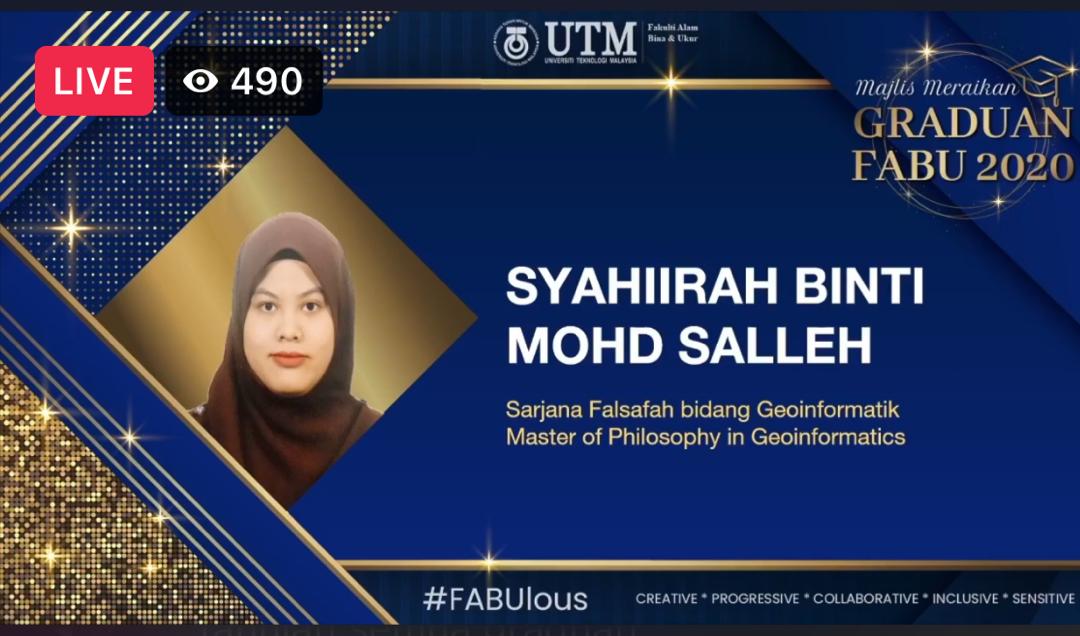
1) Syahiirah Mohd Salleh
2) Nurul Qahirah Dzulkefley
3) Muhammad Aizuddin bin Azlan
4) Glory Annabelle Stephen


THE DUTCH RESEARCH COUNCIL ASSESSOR
I like the way how the Dutch works.
They appoint scientific assessors/reviewers based on one’s expertise; expert that based on their research field.
They do not simply appoint any Dutch Head of the Ministry/Department or any Director of an Dutch Institute which are not the experts of the field.
The keyword here is the “expert of the field”.
I’ve been appointed by The Dutch Research Council (NWO) and The Netherlands e-Science Center (NLeSC) as their part of their Scientific Panel to evaluate their researchers proposal submitted for the Dutch research grant application. Definitely I’m not Dutch but the research topics submitted is in my area of expertise.
As an international assessor representative, I need to prepare a comprehensive report and comments. I have managed to complete it in-time even during this strenuous time frame.
“Live so that when your children think of fairness, caring, and integrity, they think of you.” – H. Jackson Brown, Jr.
#dutch #thenetherlands #international #proposal #reviewer #assessor #gis #3dtopology #3dgis #highereducation #research #experts #nwo #nlesc

HAPPY FACES
Paste it here as a memoir for Final Year Project (PSM 1 defense) of these two students Niveane Albania Linus and Tay Ming Suan. All the best to them!
“Effort only fully releases its reward after a person refuses to quit” – Napoleon Hill


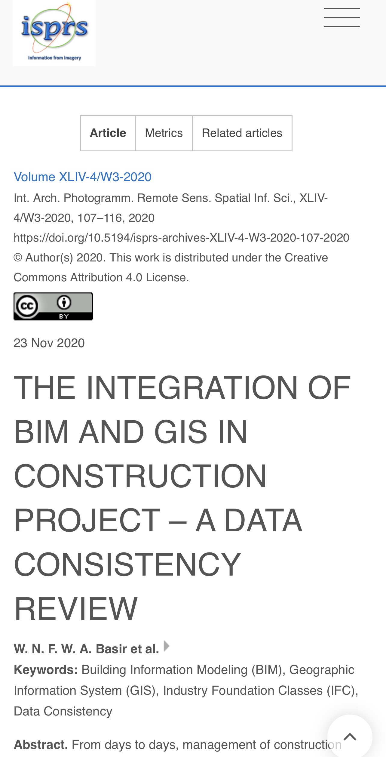
INTERNATIONAL CONFERENCE ON SMART CITY AND APPLICATIONS 2020 (SCA2020)
Paper #3
Integrating BIM and GIS is not a straightforward task. There are issues from data mismatch and losses. In this research article, we tries to highlight the issues for construction project management.
Here you go!!!
Title: THE INTEGRATION OF BIM AND GIS IN CONSTRUCTION PROJECT – A DATA CONSISTENCY REVIEW
W. N. F. W. A. Basir, U. Ujang, Z. Majid, S. Azri, and T. L. Choon
International Archives of Photogrammetry, Remote Sensing and Spatial Information Science,
Vol: XLIV-4/W3-2020, 107–116,
DOI: https://doi.org/10.5194/isprs-archives-XLIV-4-W3-2020-107-2020, 2020
URL: https://www.int-arch-photogramm-remote-sens-spatial-inf-sci.net/XLIV-4-W3-2020/107/2020/
#research #gis #3dgis #university #bim #citygml #highereducation