Tag Archives: University

GREEN BELTS IN 3D – A NATURAL SOLUTION FOR TRAFFIC NOISE MITIGATION

GREEN BELTS IN 3D – A NATURAL SOLUTION FOR TRAFFIC NOISE MITIGATION

This is our latest publication titled “Traffic Noise Absorption and Propagation in a Three-Dimensional Spatial Environment” in Geoplanning: Journal of Geomatics and Planning.

This research explores the role of tree canopies as noise barriers using advanced LiDAR-based 3D models. By visualizing tree structures in 3D, we analyzed their noise absorption performance and identified how green belts can effectively reduce traffic noise propagation.

Okay the Key Findings:

-Tree leaves play a major role in absorbing noise.

-3D Convex Hull and Concave Hull methods improve canopy surface estimation.

-Voxel-based models provide better accuracy for leaf surface area and density analysis.

The study emphasizes the potential of green belts as cost-effective and sustainable noise mitigation solutions, particularly for developing countries.

Imagine quieter roads and healthier urban environments that is powered by nature and technology.

Read the full paper here: https://ejournal.undip.ac.id/index.php/geoplanning/article/download/60822/pdf

#NoisePollution #GreenInfrastructure #3DVisualization #TrafficNoise #Sustainability #UrbanPlanning #GeospatialTech #ResearchImpact

STRENGTHENING RESEARCH SKILLS: SYSTEMATIC LITERATURE REVIEW (SLR) TRAINING

STRENGTHENING RESEARCH SKILLS: SYSTEMATIC LITERATURE REVIEW (SLR) TRAINING

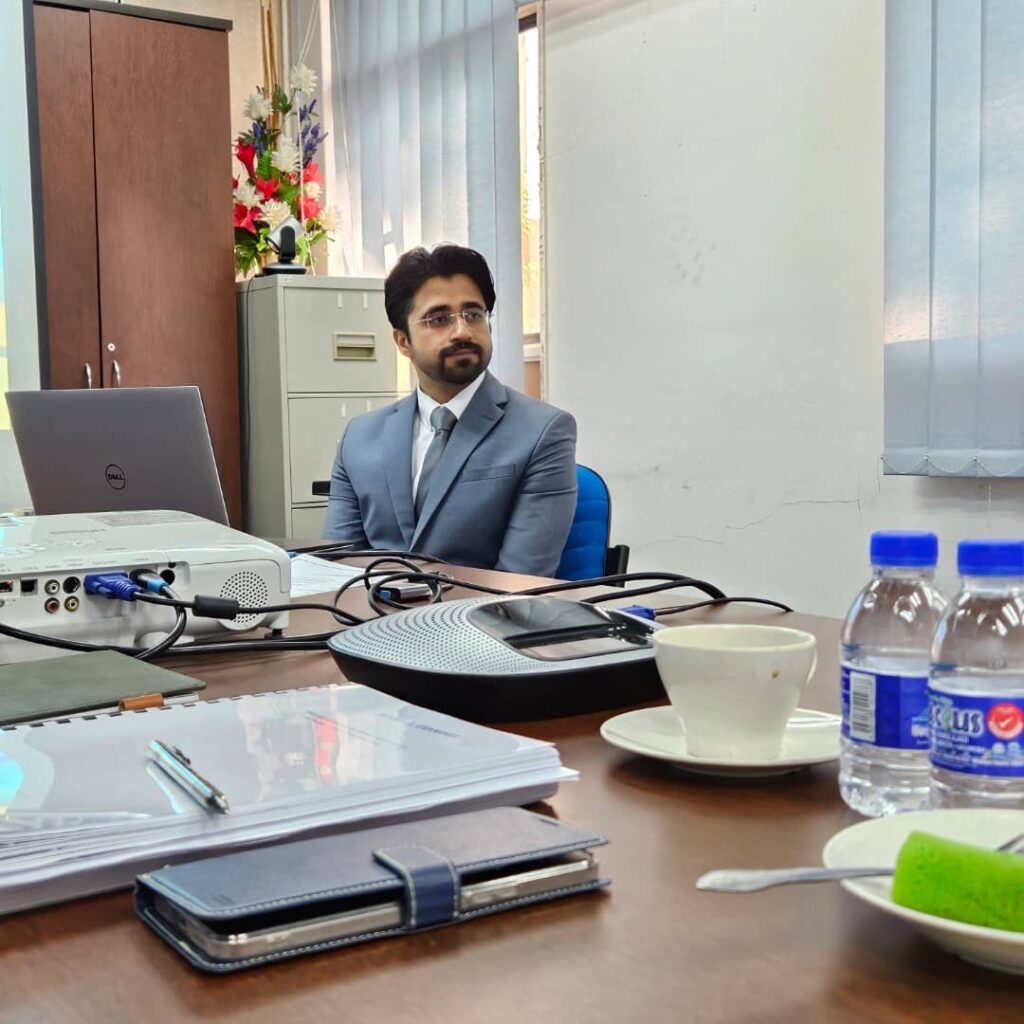
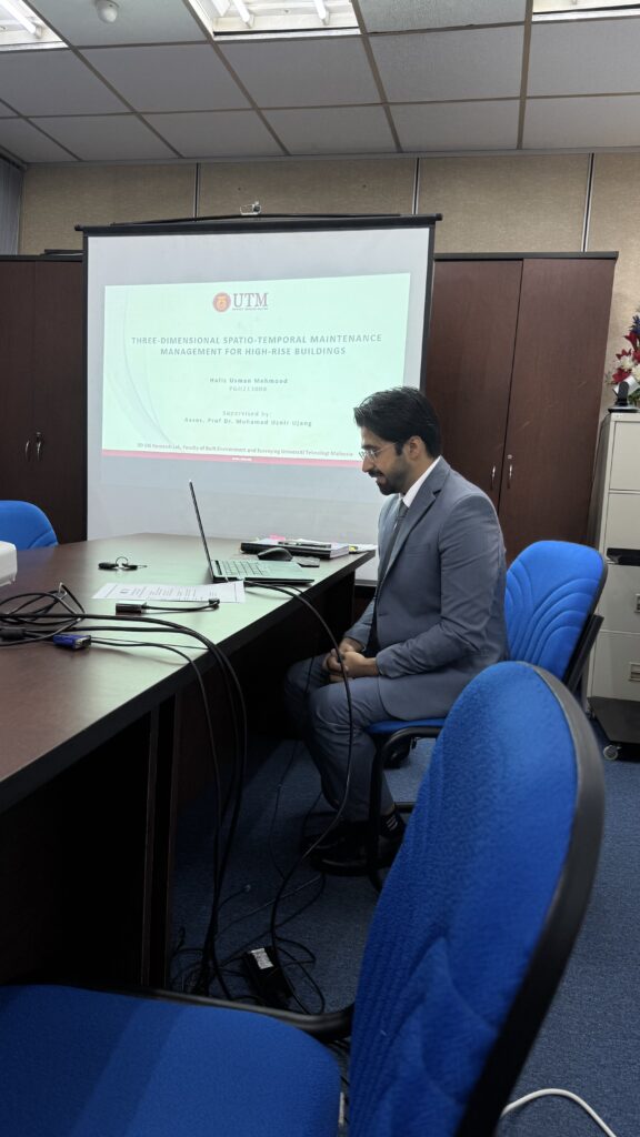
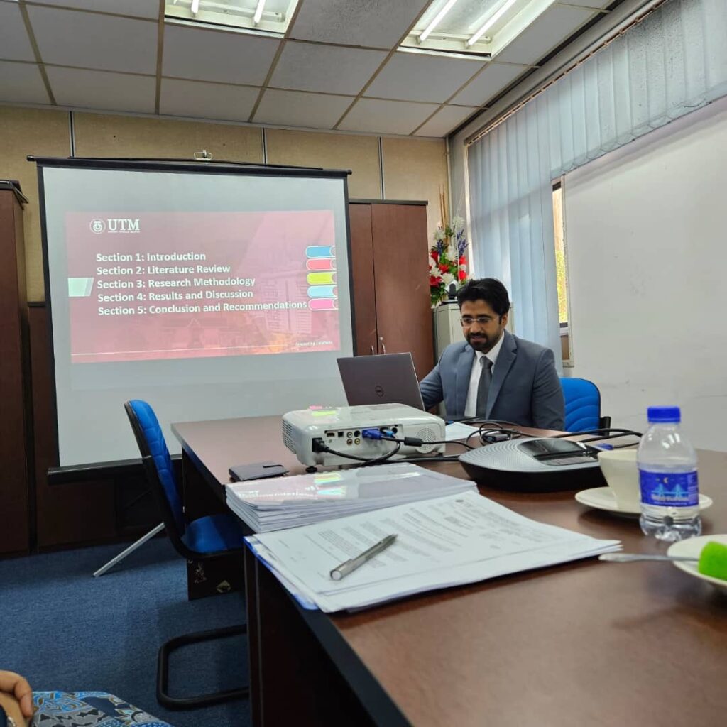
On Sunday, we kicked off Day 1 of the Systematic Literature Review (SLR) training session, a personal coaching initiative for my research group. This effort is dedicated to enhancing the research capabilities of my postgraduate students and lab members.

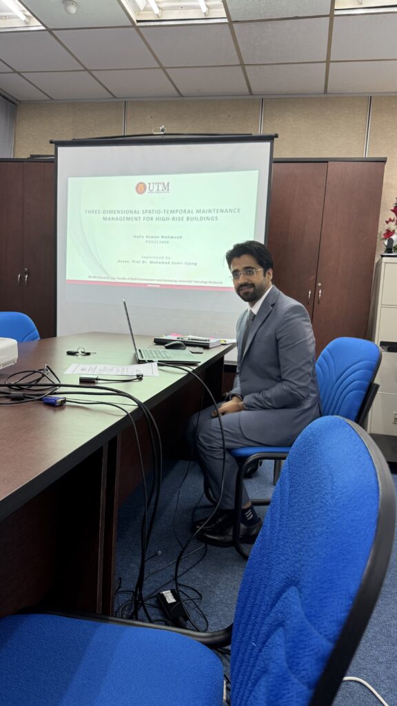
The session, conducted by our very own Lab 3D PhD student, Hafiz Usman Mehmood. He has a vast experience writing this type of paper. Our day 1 training covered critical aspects of SLR, including:

1. Introduction to SLR

2. Importance in Academic Research

3. Developing Research Questions

4. Selecting Databases & Searching Articles

5. Screening & Applying Inclusion/Exclusion Criteria

I believe that empowering young researchers with structured approaches like SLR is key to producing impactful, high-quality research.

These closed training sessions reflect our commitment to cultivating a strong research foundation within our lab. Tomorrow, we move to Day 2 with advanced topics, including the PRISMA framework and qualitative synthesis.

#ResearchSkills #SystematicLiteratureReview #LabTraining #AcademicExcellence #PostgraduateResearch #Mentorship

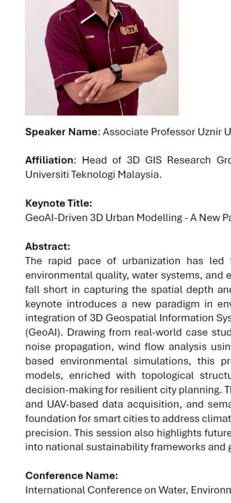
KEYNOTE SPEAKER AT ICWEES-2025

KEYNOTE SPEAKER AT ICWEES-2025

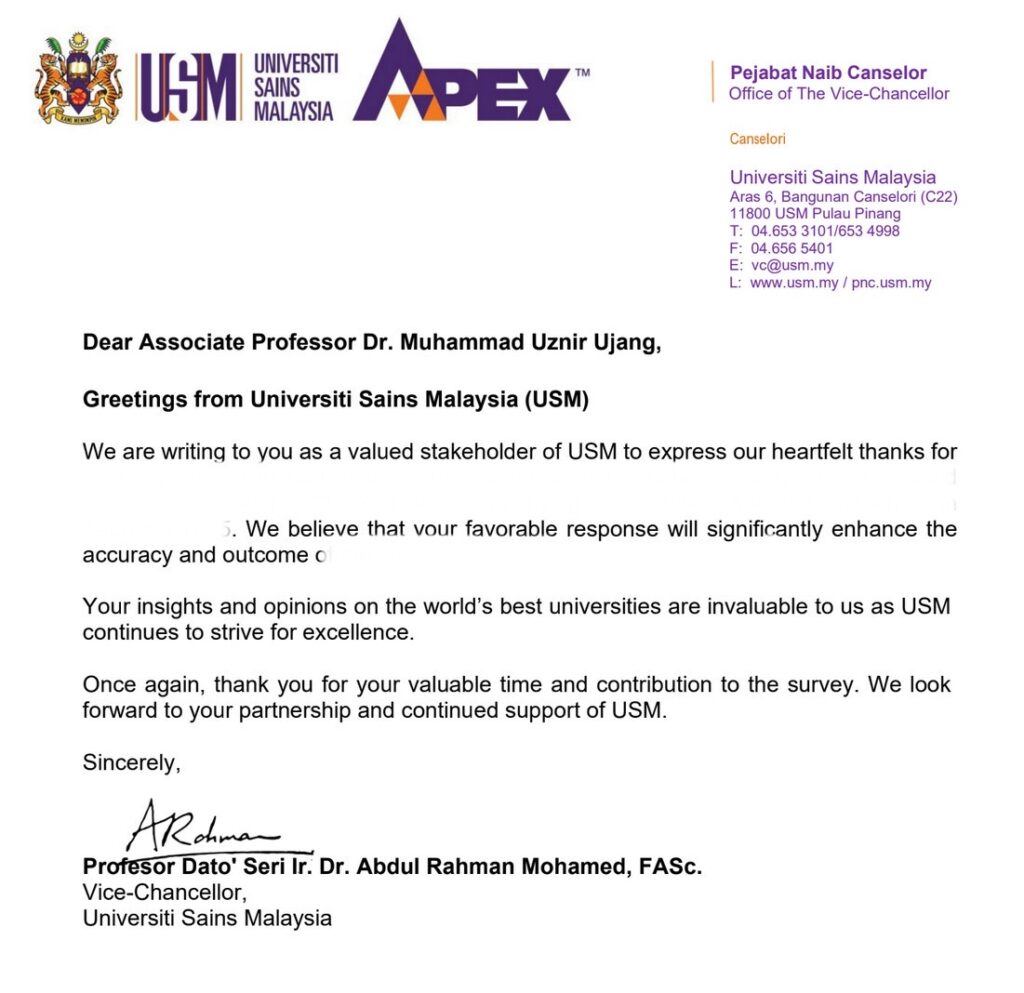
I have been invited to deliver the Keynote Lecture at the International Conference on Water, Environment, Energy, and Society (ICWEES-2025), which will take place on April 24-25, 2025. This invitation came from a research colleague which he is a Vice Chancellor of a university, making it hard to say no.

I am also honored to be invited as a member of the International Technical Advisory Committee for this conference.

This event is jointly organized by the National Institute of Technology Puducherry (NIT PY) and the International Association for Water, Environment, Energy, and Society (IAWEES), in collaboration with institutions like Rabindranath Tagore University, Texas A&M University (USA), and IHE Delft Institute for Water Education (Netherlands).

If anyone here is familiar with this conference or has attended previous editions, please share your insights and experiences. I would love to hear from you!

#KeynoteSpeaker #ICWEES2025 #Sustainability #WaterEnvironmentEnergy #GlobalCollaboration #AcademicImpact

CELEBRATING A NEW COPYRIGHT ACHIEVEMENT!

CELEBRATING A NEW COPYRIGHT ACHIEVEMENT!

Today, we are excited to announce that our product entitled “Presentation Rubric for Geoinformatics (SBEG)” has been Copyrighted by the Innovation and Commercialization Center (ICC) of Universiti Teknologi Malaysia (UTM). This achievement will further enable tools for education and research in geoinformatics. The copyright is registered under reference IP/CR/05605, dated 3 December 2024.

This rubric is designed to streamline and enhance the assessment process for geoinformatics presentations, providing a structured and comprehensive approach to evaluating quality and impact. It’s a step forward in promoting academic excellence and innovation.

At UTM, we are not only conducting groundbreaking research, but also pioneering research in education, bridging knowledge and practice to empower the next generation of scholars and innovators.

Education is the most powerful weapon which you can use to change the world” – Nelson Mandela

Thank you to UTM ICC for their continued support and to everyone who contributed to the success of this product. Together, we are driving impactful advancements in education and research. Let’s continue to push boundaries, inspire minds, and shape the future.

#CopyrightGranted #Innovation #Geoinformatics #EducationTools #AcademicExcellence #UTM #ResearchAndEducation #InspiringTheFuture

TRAFFIC NOISE PREDICTION USING MACHINE LEARNING!

TRAFFIC NOISE PREDICTION USING MACHINE LEARNING!

Our new research paper titled “Traffic Noise Prediction Model Using GIS and Ensemble Machine Learning: A Case Study at Universiti Teknologi Malaysia (UTM) Campus” has been published in the Q1-ranked journal Environmental Science and Pollution Research (Web of Science indexed)!

This study focuses on the application of Geographical Information Systems (GIS) and ensemble machine learning models to predict traffic noise levels, an important environmental concern. Our research provides a detailed analysis of how these innovative methods can be used to accurately predict noise propagation and assist in urban planning for noise mitigation strategies.

The results highlight the effectiveness of ensemble learning methods, such as Random Forest and Gradient Boosting, in providing accurate predictions compared to traditional models. This approach could lead to more effective noise control measures and improved quality of life in urban environments.

Check out the full study here:
Title: Traffic Noise Prediction Model Using GIS and Ensemble Machine Learning: A Case Study at Universiti Teknologi Malaysia (UTM) Campus
Link to the paper: https://rdcu.be/dWJaz

This study showcases the power of machine learning in tackling environmental challenges! Using advanced ensemble models like Random Forest, Gradient Boosting, and Extreme Gradient Boosting, the team has developed highly accurate predictions of traffic noise levels. This breakthrough combines GIS with cutting-edge machine learning techniques, making it a standout achievement in noise pollution research!

#TrafficNoise #MachineLearning #GIS #NoisePollution #UrbanPlanning #SustainableCities #EnvironmentalScience #ResearchImpact

ANOTHER INTELLECTUAL PROPERTY (IP) COPYRIGHT APPROVAL GRANTED!

ANOTHER INTELLECTUAL PROPERTY (IP) COPYRIGHT APPROVAL GRANTED!

Our product titled “Residential Integrated Building Maintenance Management Model (R-IB3M): A Unified GIS Framework Flowchart for Spatio-Temporal Data Synthesis” has officially been granted an Intellectual Property (IP) copyright by MyIPO via Universiti Teknologi Malaysia’s Innovation and Commercialization Center (ICC). The filing number is LY2024J06676, dated 15 October 2024.

This framework is a major step forward in improving building maintenance management through advanced GIS and spatio-temporal data analysis. I look forward to seeing the positive impact this will have on future projects and applications in the field.

Thank you to everyone involved in making this possible, and a special thanks to UTM’s ICC for the support and recognition.

Let’s continue innovating and pushing the boundaries of what’s possible in building management!

“Innovation is the ability to see change as an opportunity, not a threat” – Steve Jobs

#CopyrightGranted #GIS #BuildingManagement #Innovation #ResearchImpact #SpatioTemporalData #UTM #RIB3M

GIS AND DATA SCIENCE – A TWO SIDES OF THE SAME COIN

GIS AND DATA SCIENCE – A TWO SIDES OF THE SAME COIN

GIS and Data Science are essentially the same at their core, both involve analyzing and extracting insights from data.

The difference? GIS takes it a step further by adding location to the mix, transforming data into spatial data.

This extra layer of location allows us to visualize patterns, make more informed decisions, and solve complex challenges related to geography, urban planning, environment, and much more.

In other words, GIS = Data Science + Location, unlocking endless possibilities for spatial analysis.

Ready to explore how spatial data enhances traditional data analysis? Dive into these key data science terms that drive both fields forward!

#GIS #DataScience #SpatialData #LocationIntelligence #SpatialAnalysis #BigData #MachineLearning #GeoAI #SmartCities

OUR NEW PATENT GRANTED!

OUR NEW PATENT GRANTED!

Our team has been granted a patent by the Intellectual Property Corporation of Malaysia (MyIPO) for our research product titled “A Geoinformation-Based Assets Inventory” (Patent No. MY-204229-A). This achievement reflects the hard work and collaboration of an incredible team of experts.

“The only way to do great work is to love what you do.” – Steve Jobs

A huge congratulations to my fellow colleagues:

• Prof. Dr. Zulkepli Bin Majid

• Prof. Sr Dr. Maimunah Binti Sapri

• Prof. Madya Ts. Gs. Sr. Dr. Robiah Binti Suratman

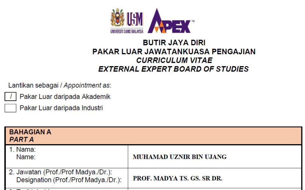
• Prof. Madya Ts. Gs. Sr. Dr. Muhamad Uznir Bin Ujang (They said my name was too long for the banner!)

• Sr Dr. Mohd Farid Bin Ariff

• Ts. Gs. Dr. Azman Bin Ariffin

• Dr. Nor Suhaibah Binti Azri

• Dr. Salfarina Binti Samsuddin

• Dr. Norhadija Binti Darwin

• Dr. Khairulnizam Bin Idris

“Success is the sum of small efforts, repeated day in and day out.” – Robert Collier

This milestone showcases the potential of geoinformation systems in advancing asset management and opens new possibilities for future applications. Let’s keep pushing the boundaries of innovation!

Thank you to Fakulti Alam Bina dan Ukur and everyone who supported us in this journey. Onward to more innovations!

#PatentGranted #Geoinformation #AssetManagement #Innovation #TeamSuccess #ResearchImpact #MyIPO #StayMotivated

FULLY-FUNDED PhD AND MPhil OPPORTUNITIES AVAILABLE!

FULLY-FUNDED PhD AND MPhil OPPORTUNITIES AVAILABLE!

Over the past three days, I’ve shared three different posters, which indeed that we are offering three distinct fully-funded opportunities for passionate individuals looking to contribute to cutting-edge research:

1. PhD in 3D Geospatial Artificial Intelligence (Geo-AI) research – Pioneering research in geospatial AI to tackle urban sustainability challenges.

2. PhD in 3D City Modelling and Urban Sustainability research – Advancing energy efficiency in smart cities through innovative 3D modelling techniques.

3. Master of Philosophy (MPhil) in Sustainable Urban Design Framework research – Exploring the digital realm of City Information Modelling for sustainable urban futures.

Each opportunity offers full tuition coverage and a monthly stipend, exclusively for Malaysian students. If you’re passionate about geospatial innovation, AI, or urban sustainability, there’s an opportunity waiting for you.

For more details or to apply, feel free to reach out.

Let’s drive impactful research together.

#PhDopportunity #MPhilopportunity #ResearchFunding #GeospatialAI #SmartCities #UrbanSustainability #UTM #Research

CALLING ASPIRING RESEARCHERS – MPHIL RESEARCH OPPORTUNITY IN 3D CITY INFORMATION MODELLING

CALLING ASPIRING RESEARCHERS – MPHIL RESEARCH OPPORTUNITY IN 3D CITY INFORMATION MODELLING

We’re thrilled to announce a fully funded Master of Philosophy (MPhil) research program at Universiti Teknologi Malaysia (UTM). If you’re passionate about Sustainable Urban Design and want to explore the Digital Realm of City Information Modelling, this is the perfect opportunity for you.

What’s on offer:

1. Full tuition coverage

2. Monthly stipend

3. Exclusively for Malaysian students

Working under my supervision, this research program focuses on advancing urban design through cutting-edge 3D geospatial sciences and artificial intelligence. If you have a deep passion for sustainability and innovation, we encourage you to apply.

For more details and to apply, please contact: mduznir@utm.my

Let’s shape the future of sustainable cities together.

#ResearchOpportunity #MPhil #UrbanDesign #Sustainability #GeospatialScience #ArtificialIntelligence #FullyFunded #UTM #CityModelling