Category Archives: Geospatial

Empowering Sarawak’s Geospatial Future with the WtCE ToT Session!

Following our successful database validation milestone in Kuching, we have officially moved into the next critical phase: capacity building. We recently successfully conducted an intensive Training of Trainers (ToT) session for the WtCE (Wildlife Tourism and Conservation Ecosystems) Geodatabase!

The core purpose of this ToT was to transition the project from a conceptual framework into a living, breathing ecosystem capable of empowering our strategic partners on the ground.

🔍 Deep-Dives & Architecture Discussions

We kicked off the session by mapping out the strategic landscape of the system—candidly evaluating its strengths and limitations to prepare users for real-world scenarios. We also unpacked the newly refined Class Diagrams and structured the operational guidelines for the database.

To ensure long-term sustainability and robust governance, the WtCE Geodatabase is expected to be securely hosted by Sarawak Information Systems Sdn Bhd (SAINS), featuring a secure architecture accessible exclusively to registered and authorized users.

💻 Practical, Hands-On ArcGIS Pro Mastery

Theoretical knowledge is only as good as its execution. To bridge this gap, the trainers underwent a comprehensive, hands-on technical workshop utilizing ArcGIS Pro. The modules covered essential day-to-day operations, including:

  • Project Management: Effectively opening and configuring ArcGIS Pro workspace environments.
  • Data Navigation: Seamlessly retrieving centralized spatial layers.
  • Data Entry & Editing: Executing precise data entry and modification for both spatial (geographic charts/maps) and non-spatial (attribute data) datasets.

💡 The Ultimate Goal: Maximizing Data Synergy

With this training successfully completed, the ultimate hope is for the Sarawak Forestry Corporation (SFC) to fully capitalize on this highly optimized geodatabase structure.

By migrating and populating the system with their rich repository of existing field data, SFC will unlock unprecedented clarity in managing and protecting Sarawak’s wildlife tourism and conservation data.

A massive thank you to all the brilliant participants who brought their dedication and sharp minds to this ToT session. One step closer to a digitally resilient, spatially enabled Sarawak! 🌿💪

#Geospatial #TrainingOfTrainers #ArcGISPro #DataGovernance #SAINS #SFC #WildlifeConservation #Sarawak #Geodatabase #CapacityBuilding #TechForGood

Bridging Research and Reality: Validating the WtCE Geospatial Database in Sarawak

In research, ensuring stakeholder acceptance and real-world applicability is just as critical as the data collection itself. Research must not exist in a vacuum; it needs to be grounded and practical to create a true impact.

As the research grant project titled “Database Development on Socio-economic Management for Wildlife Tourism and Conservation” reaches its final phases, we hit a major milestone: the validation of our newly developed geospatial database design, known as WtCE (Wildlife Tourism and Conservation Ecosystems).

To ensure this database meets actual industry and governance needs, we conducted a comprehensive day-long Focus Group Discussion (FGD) in Kuching, Sarawak, with our key strategic stakeholders: Sarawak Forestry Corporation (SFC), Land and Survey Department Sarawak (JTS), Sarawak Information Systems Sdn Bhd (SAINS), and Resident’s Office Kuching.

Thanks to the invaluable, hands-on feedback during the FGD, we successfully refined the database architecture—adding crucial data classes and optimizing attributes. These enhancements directly increase the value, scalability, and usability of WtCE for the Sarawak Government in the near future.

What’s Next? 🚀 Our next step is conducting specialized training sessions for these stakeholders. This will empower them to fully utilize the WtCE database, ultimately transforming and streamlining the way geospatial data is managed and shared across agencies in Sarawak.

#Geospatial #DataManagement #WildlifeConservation #EcoTourism #Sarawak #ResearchImpact #DatabaseDesign #FGD #GIS #DataSharing #SmartGovernance

A Proud Supervisor Moment! 🌟 Celebrating ‘Pasukan Five Hundred’ at the ASEAN Geospatial Challenge 2026

I am incredibly honored and proud to share that my students—representing Universiti Teknologi Malaysia (UTM)—have been awarded the prestigious Certificate of Merit at the recent ASEAN Geospatial Challenge 2026!

It has been an absolute privilege to help this dedicated team, Pasukan Five Hundred. Guiding them through the intensive preparation process, watching them brainstorm, refine their technical concepts, and push their limits to innovate sustainable geospatial solutions has been a truly inspiring journey for me.

Join me in congratulating these brilliant minds:

  • Nur Farihan binti Abd Rahim (PhD in Geoinformatics)
  • Mohd Nizar bin Hashim (PhD in Geoinformatics)
  • Muhammad Hanis bin Rashidan (PhD in Geoinformatics)
  • Nurul Asyiqin binti Mohd Salleh (Master in Geoinformatics)

Your hard work, perseverance, and teamwork have truly paid off. This ASEAN-level recognition is just the beginning of your bright futures in the geospatial industry. The Faculty of Built Environment and Surveying (FABU) and I are beyond proud of your achievement!

Let’s keep innovating and driving impactful solutions for a better tomorrow. 🗺️💡

#UTM #Geoinformatics #ASEANGeospatialChallenge #ProudSupervisor #Geospatial #InnovatingSustainableSolutions #TeamSuccess #AcademicJourney #FABU #Malaysia

Sustaining Excellence in National Standards: Progressing the NSC 07/TC 2 Agenda

Continuity is vital in the complex world of standardization. I recently attended the latest session of the Technical Committee on Geographic Information/Geomatics (NSC 07/TC 2), continuing my role as a representative for Universiti Teknologi Malaysia (UTM).

This meeting was a significant step forward in our ongoing mission to refine Malaysia’s geospatial framework. We are currently in the final stages of reviewing two critical documents:

1. MS 1759 (Amendment): Geographic information/geomatics – Feature and attribute codes.

2. MS 2039 (Amendment): Addresses – Standard Format – Requirements.

By consistently revisiting and enhancing these standards, we ensure that our national data infrastructure remains synchronized with technological advancements and industry demands.

Our work doesn’t stop at the national level. As part of our committee’s ongoing commitment to international excellence, we also finalized preparations for Malaysia’s active participation in the global ISO technical meetings. This May 2026, our journey continues in Ottawa, Canada, where we will represent Malaysia’s interests and stay aligned with global geospatial trends.

Being part of this long-term process is a rewarding experience. It’s about ensuring that the foundation we build today supports the digital and geospatial innovations of tomorrow.

#Geospatial #Geomatics #UTM #ISOStandards #NationalStandards #MS1759 #MS2039 #Standardization #Ottawa2026 #GlobalCollaboration #ContinuousImprovement #TechnicalCommittee

The Journey Continues: Advancing the Multi-Lingual Glossary of Terms (MLGT) for Geospatial Standards

Continuity is the key to precision. I recently resumed my role as Chairperson for the Multi-Lingual Glossary of Terms (MLGT) Working Group under NSC7/TC2, continuing our vital mission to bridge the gap between global ISO standards and our national language.

Our task remains steadfast: translating complex English technical terms from ISO documents into Bahasa Melayu, ensuring every definition carries the exact technical weight required for the geospatial and geographic communities.

Progress Report: Staying the Course

In our latest session, we focused on “pemutihan” (refinement) and alignment, ensuring our work is perfectly synchronized with the ISO Geolexica portal and ready for integration into the PRPM by Dewan Bahasa dan Pustaka (DBP).

  • Current Milestone: 329 terms have now been successfully translated.
  • Latest Refinement: 19 terms underwent a rigorous review to ensure absolute alignment with international standards.
  • Efficiency in Selection: 224 terms were deprecated to ensure our glossary remains concise and relevant.
  • The Road Ahead: With approximately 900 terms still on the horizon, the process continues.

Standardizing a technical language is a marathon, not a sprint. By persisting in this work, we are ensuring that our local professionals have the clarity they need to implement global best practices with confidence.

Proud of the steady progress we are making, one term at a time.

#Geospatial #ISOStandards #MLGT #Standardization #NationalMapping #DBP #Geolexica #GeographicInformation #ProfessionalLeadership #BahasaMelayu #TechnicalTranslation

New Publication Alert!: Bridging Spatial Data Sharing and Smart City Innovation

I am excited to share that my latest research chapter, “Spatial Data Sharing in Smart Cities Implementation: A Systematic Literature Review,” has been published by Springer Nature!

As cities worldwide transition into “Smart Cities,” the ability to share, integrate, and visualize spatial data—from GIS and remote sensing to drone technology—becomes the backbone of urban sustainability and citizen well-being.

Key Insights from the Chapter:

~ Global Trends: Our systematic review (using the PSALSAR technique) highlights that the Asian region, particularly China, is leading the discourse in this field.
~ Core Challenges: We scrutinized five critical areas—Technology, Data Quality, Social impact, Environmental factors, and Governance.
~ Future Roadmaps: The study outlines four strategic directions, including empowering community collaboration in Spatial Data Infrastructure (SDI) and transforming governance toward “Spatial Enablement.”

In an era where “Location Intelligence” drives decision-making, understanding the hurdles of data compatibility, security, and accessibility is crucial for researchers and urban planners alike.

🔗 Read the full chapter here: https://lnkd.in/gnXVKftG

A big thank you to the editorial team for bringing this comprehensive review to life. I hope this work serves as a valuable resource for those shaping the future of our urban ecosystems.

#SmartCities#SpatialData#GIS#SpringerNature#ResearchPublication#UrbanPlanning#DigitalTransformation#SDI#LocationIntelligence#AcademicWriting

Strengthening Data Collaboration for Wildlife Sustainability at JTS, Kuching

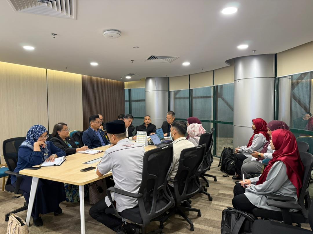
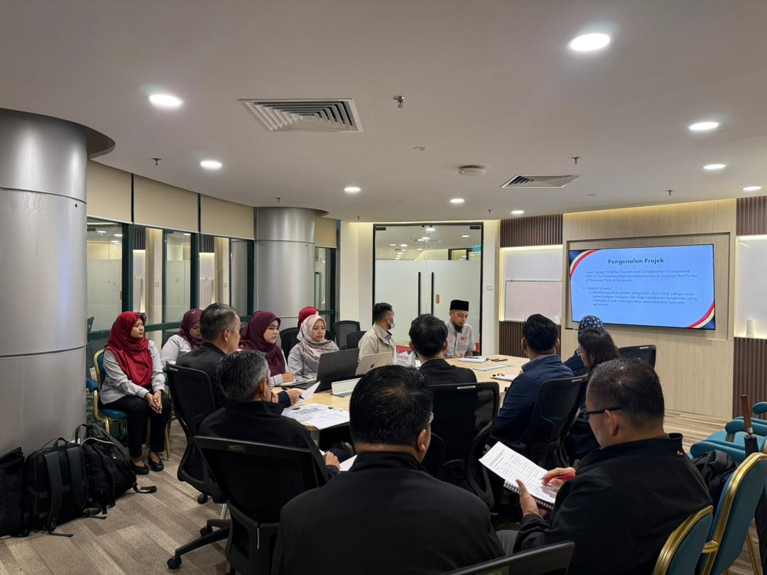
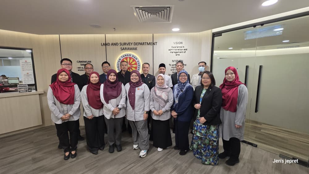
Despite the heavy rain in Kuching since early morning, our spirits remained high as we gathered at the Land and Survey Department (JTS) for a strategic discussion regarding the research grant led by Dr. Noordyana.

Our focus was centered on the project: “Database Development on Socio-economic Management for Wildlife Tourism and Conservation.” This session was crucial as it involved coordinating the integration and management of databases developed through this grant for the benefit of all relevant agencies.

A heartfelt thank you to our strategic partners for their invaluable insights during our session at JTS including JTS, SFC, SAINS and other participants from Land Office and Resident’s Office.

The synergy between academia and government agencies is the cornerstone of ensuring that socio-economic management in wildlife tourism and conservation is driven by accurate, centralized data.

I am hopeful that the outcomes of today’s discussion will yield long-term positive impacts for all stakeholders and for the natural heritage of Sarawak.

#WildlifeConservation #DataManagement #Sarawak #ResearchGrant #Sustainability #SocioEconomic #EcoTourism #ConservationData #JTS #Kuching

Advancing National Data Ecosystems: AI & Geospatial Integration in BUDI95

I am deeply honored to be featured in Bernama alongside Dr. Mohamad Shukor Talib, discussing the future of national data management.

Our feature highlights how BUDI95 (an integrated database system) is not just a repository, but a potential cornerstone for a National Data Management Ecosystem. By leveraging Artificial Intelligence (AI) and Geospatial Technologies, we can transform raw data into actionable insights for more precise and impactful decision-making.

A huge thank you to Bernama for providing a platform to share these academic perspectives. We believe that the synergy between advanced technology and robust data frameworks is the key to a more digitally resilient Malaysia.

🔗 Read the full feature here: BERNAMA – BUDI95 Berpotensi Jadi Ekosistem Pengurusan Data Nasional

#Bernama #BUDI95 #DataScience #AI #Geospatial #NationalDataEcosystem #AcademicInsight #DigitalMalaysia #TechForGood

Geeking out over Geospatial at IGRSM Talk 2026/1!

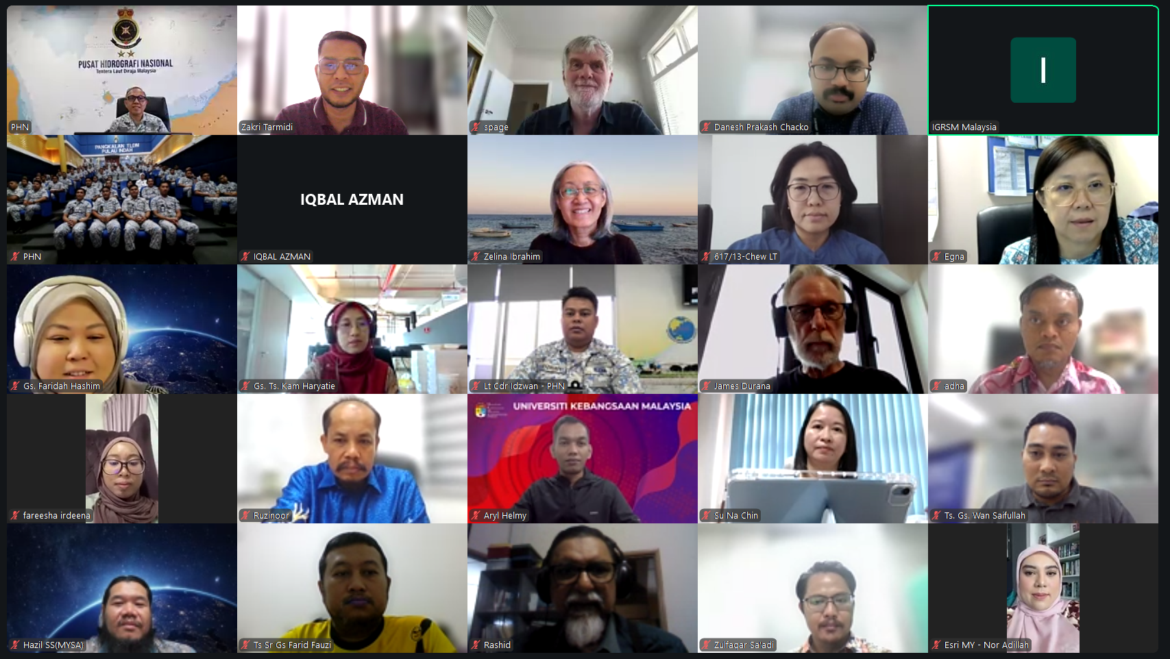
I had the absolute pleasure of moderating today’s IGRSM Talk 2026/1, and what a way to kick off the year! It’s not every day you get to bridge the conversation between the complexities of the deep sea and the urgent needs of global sustainability.

We had two heavyweights in the industry today who truly brought their A-game. My notebook is full, and my mind is buzzing with new perspectives:

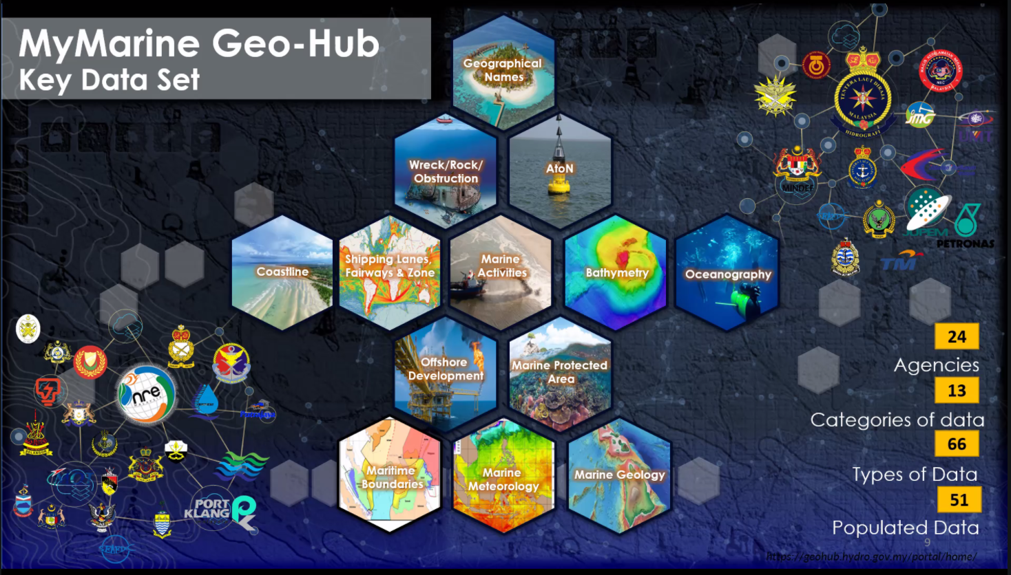
Rear Admiral Dr. Najhan bin Md Said (Director General, NHC) – The Admiral gave us a masterclass on “Building Malaysia’s Marine Spatial Data Infrastructure.” It was fascinating to hear how we are moving toward “Smarter Maritime Governance.” It’s clear that managing our vast waters isn’t just about drawing lines on a map; it’s about creating a coordinated, high-tech pathway that links data, policy, and sovereignty.

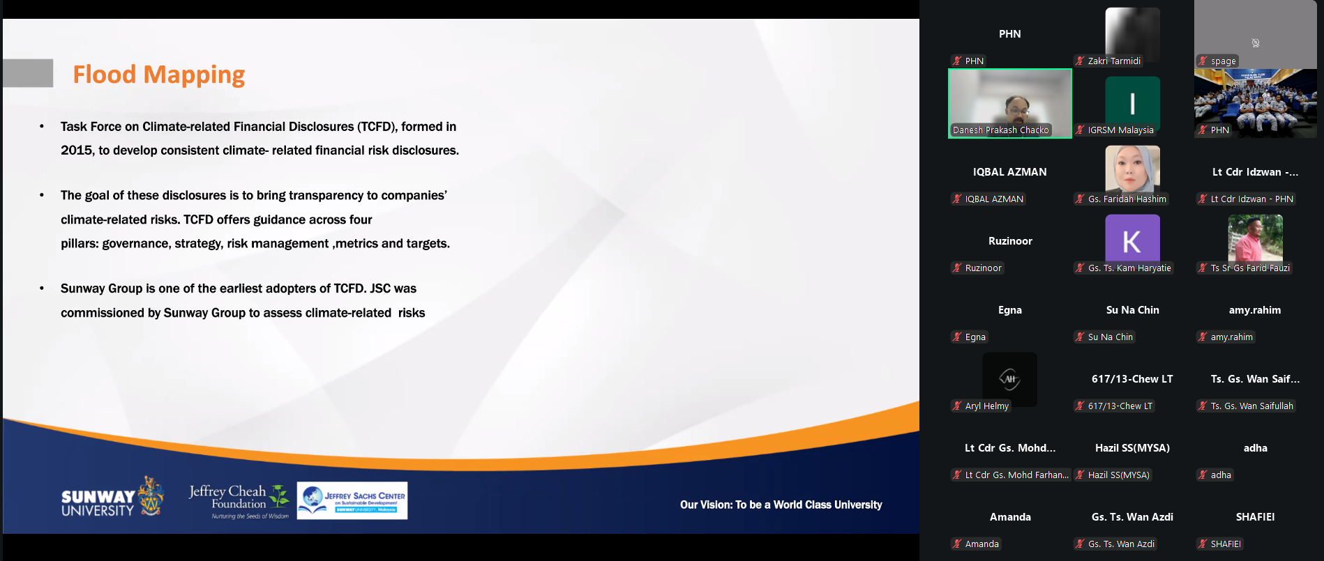
Gs. Danesh Prakash Chacko (Jeffrey Sachs Centre, Sunway University) – Danesh delivered a powerful reality check on “Sustainability: The Role of GIS.” He showed us that GIS isn’t just a supporting tool for the Sustainable Development Goals (SDGs)—it is the very backbone that allows us to measure, visualize, and actually achieve them. His passion for using open data to solve real-world environmental challenges is always infectious!

As a moderator, what struck me most was the synergy between these two topics. Whether we are looking at the sea floor or our urban landscapes, the “Spatial” element is what ties everything together.

A huge thank you to the IGRSM committee for the invitation, to our esteemed speakers for their time, and to the participants for the high-level engagement in the Q&A. The energy in the virtual room today proves that the geospatial community in Malaysia is not just growing—it’s leading.


Stay safe, stay spatial, and see you at the next one!

hashtag#IGRSM hashtag#GIS hashtag#Hydrography hashtag#Sustainability hashtag#SDGs hashtag#GeoAI hashtag#SpatialData hashtag#MalaysiaGeospatial hashtag#MaritimeGovernance hashtag#LifeOfAModerator

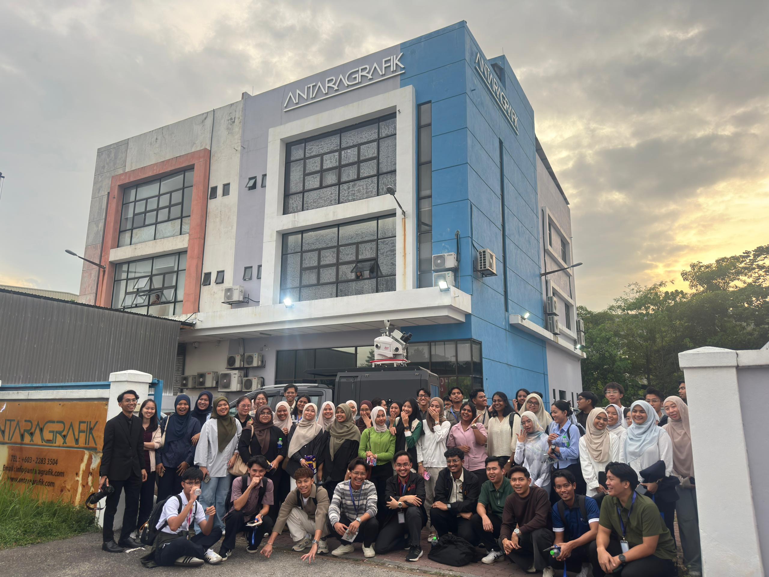
GeoConnect 25 Visit — Antaragrafik Systems Sdn Bhd

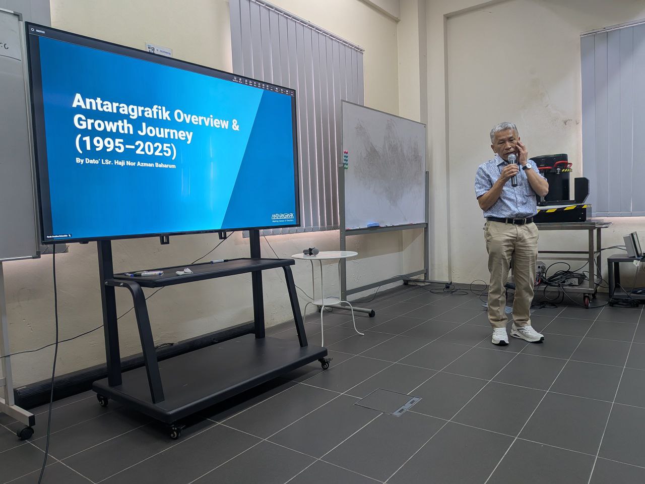
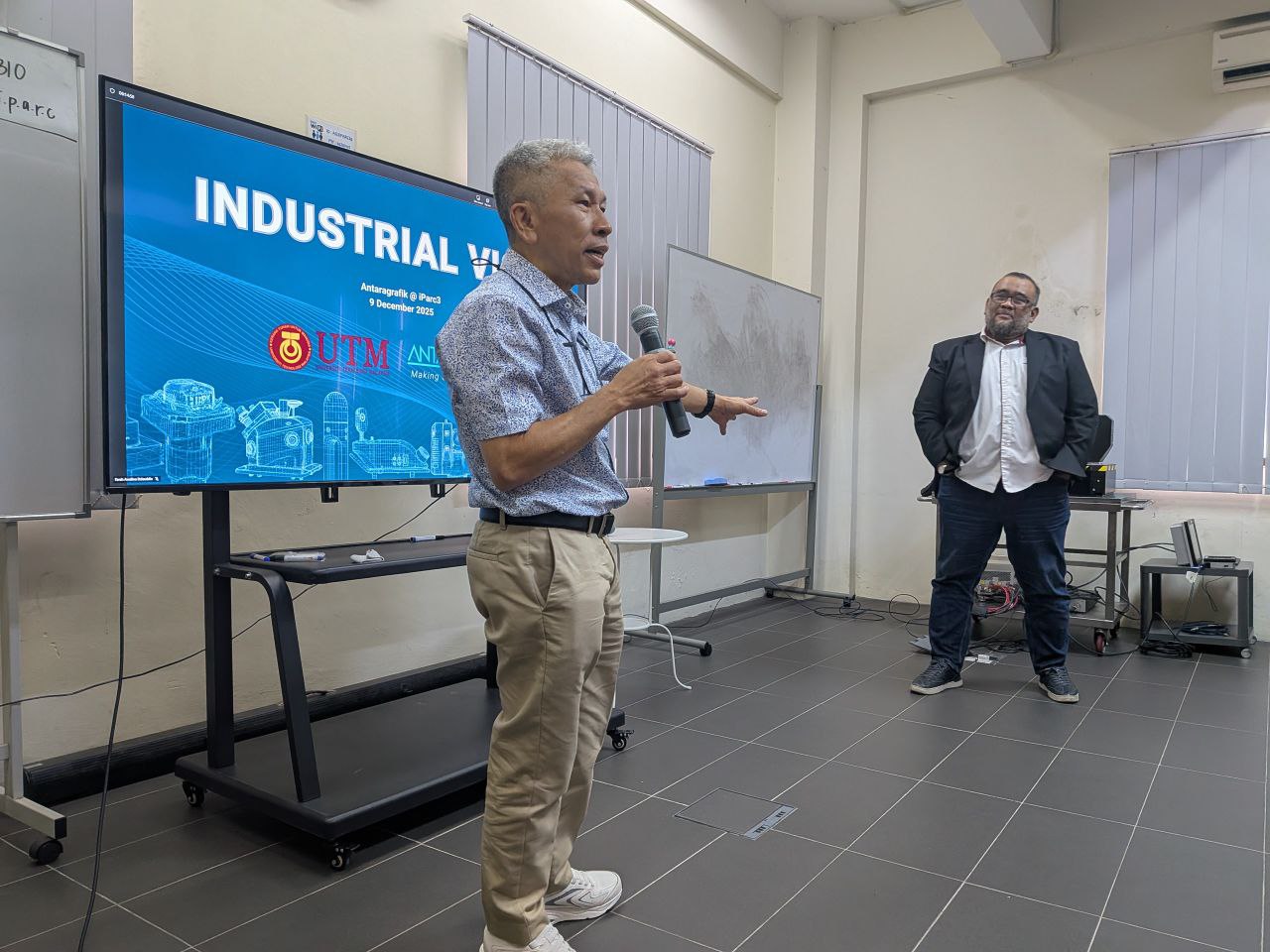
Last week, the GeoConnect 25 delegation had an insightful visit to Antaragrafik Systems Sdn Bhd, one of Malaysia’s leading geospatial solution providers with over three decades of experience in end-to-end geospatial, mapping, and surveying services.

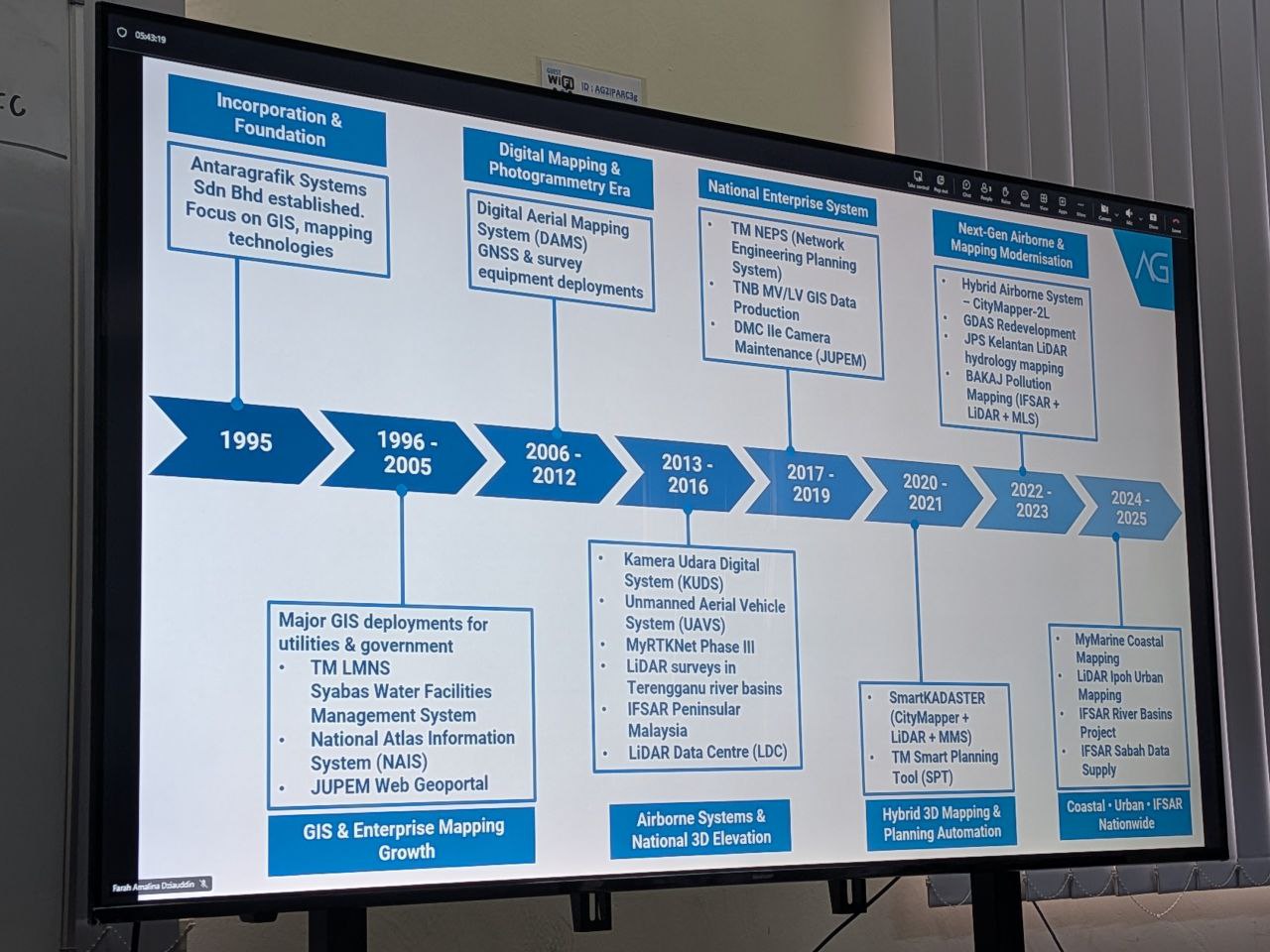
During the visit, we were welcomed by the CEO, Dato’ Sr. Hj. Nor Azman Baharum, along with the Chief of Sales and several team members, who shared rich insights into the company’s history, vision, and future direction in the geospatial industry. Their presentation highlighted Antaragrafik’s journey since its establishment in 1995 and its strong commitment to delivering comprehensive geospatial solutions across sectors.

We were also introduced to advanced technologies currently used in the field, including:
• Hybrid aerial photogrammetry cameras that support precision airborne data capture
• Hybrid mobile TLF systems for versatile terrestrial surveying
• Automated total station equipment for efficient and accurate geospatial measurement

These demonstrations provided participants with practical exposure to cutting-edge tools driving modern geospatial practices.

The session continued with interactive quizzes, Q&A, and hands-on activities — where students got the chance to try out the equipment and deepen their understanding of how such technologies are applied in real-world geospatial workflows.

A big thank you to the team at Antaragrafik for the warm reception and knowledge sharing, and to the students from the Geoinfo Club, UTM, for coordinating logistics and engagement throughout the visit.

#GeoConnect25 #Antaragrafik #Geospatial #Geomatics #RemoteSensing #Innovation #UTM #Geoinformatics #IndustryEngagement