Pengajaran dan pembelajaran di peringkat tertier (universiti) perlu sentiasa berkembang dan ditambahbaik, seiring dengan penemuan dan kajian terkini yang telah didapati.
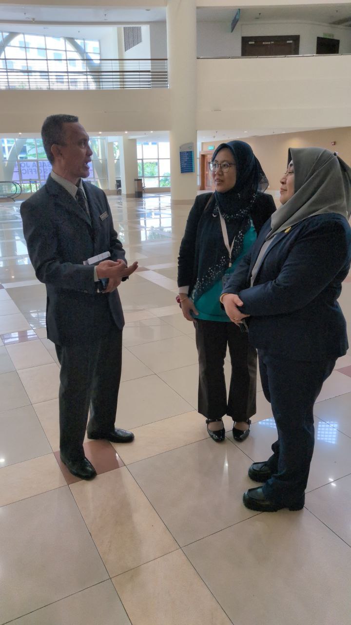
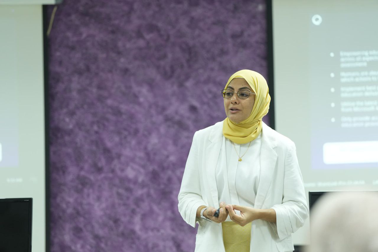
Akan tetapi, kebanyakan kaedah pengajaran dan pembelajaran masih kekal statik, dengan kaedah penyampaian kuliah dan amali sahaja. UTM dengan beberapa inisiatif di bawah New Academia Learning Innovation telah memperkenalkan dan meningkatkan kaedah pembelajaran yang lebih aktif dan berkesan sesuai dengan zaman yang semakin mencabar.
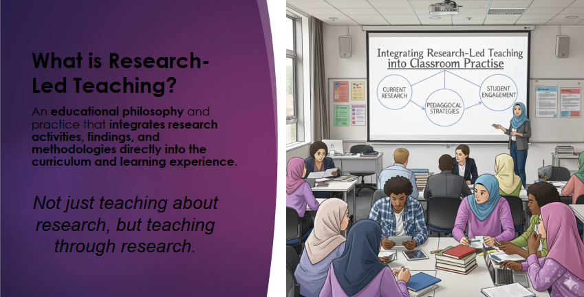
Salah satu kaedah pembelajaran dan pengajaran yang dapat mengaitkan pelajar dengan kajian dan penemuan terkini adalah dengan satu kaedah dikenali sebagai Research-Led Teaching.
*Sumber: Nota Prof Ir. Ts. Dr. Sharifah Rafidah binti Wan Alwi
Research-Led Teaching bertujuan untuk mengintegrasikan pengajaran berasaskan aktiviti berasaskan kajian. Ianya menambah pengalaman melaksanakan kajian dalam kelas pengajaran kursus.
Terdapat empat kaedah pelaksanaan Research-Led Teaching ini, iaitu: Research-based, Research-Oriented, Research-driven, dan Research-tutored. Boleh baca secara mendalam di laman web UTMCDeX: https://utmcdex.utm.my/research-led-teaching/
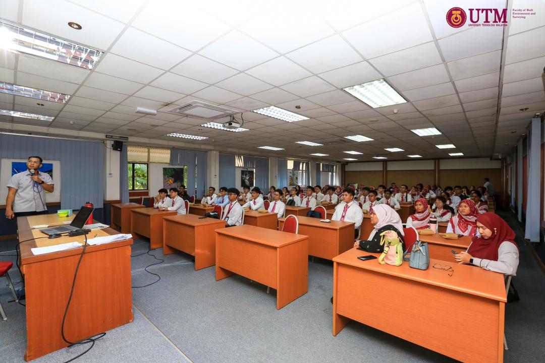
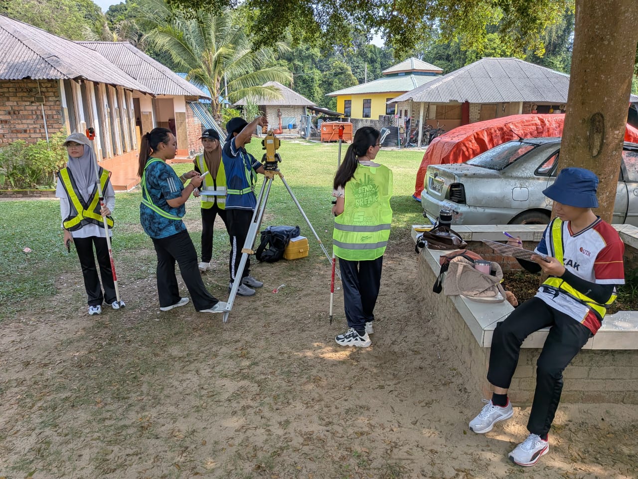
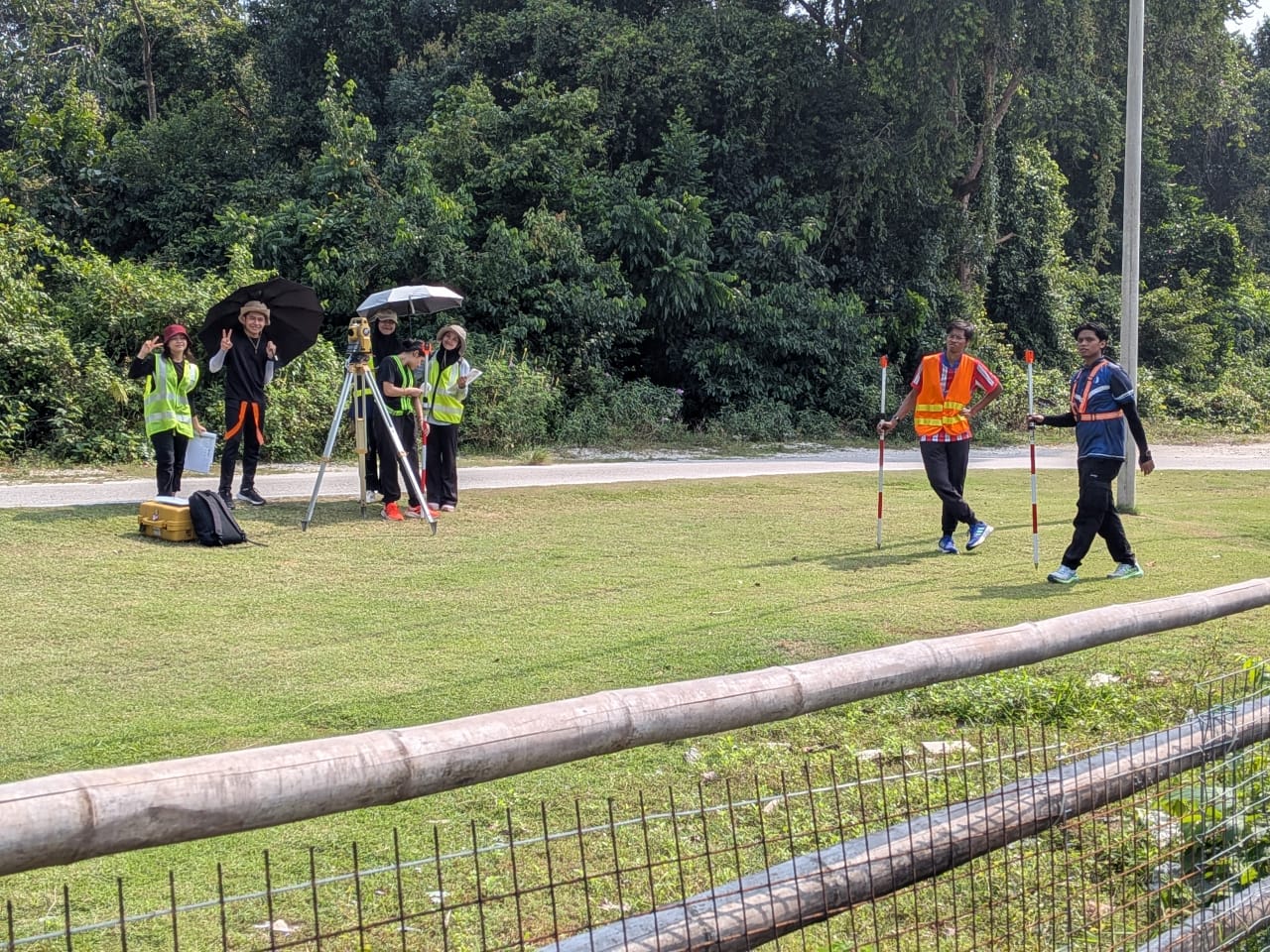
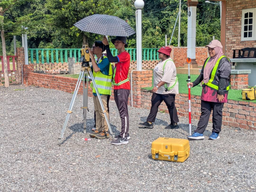
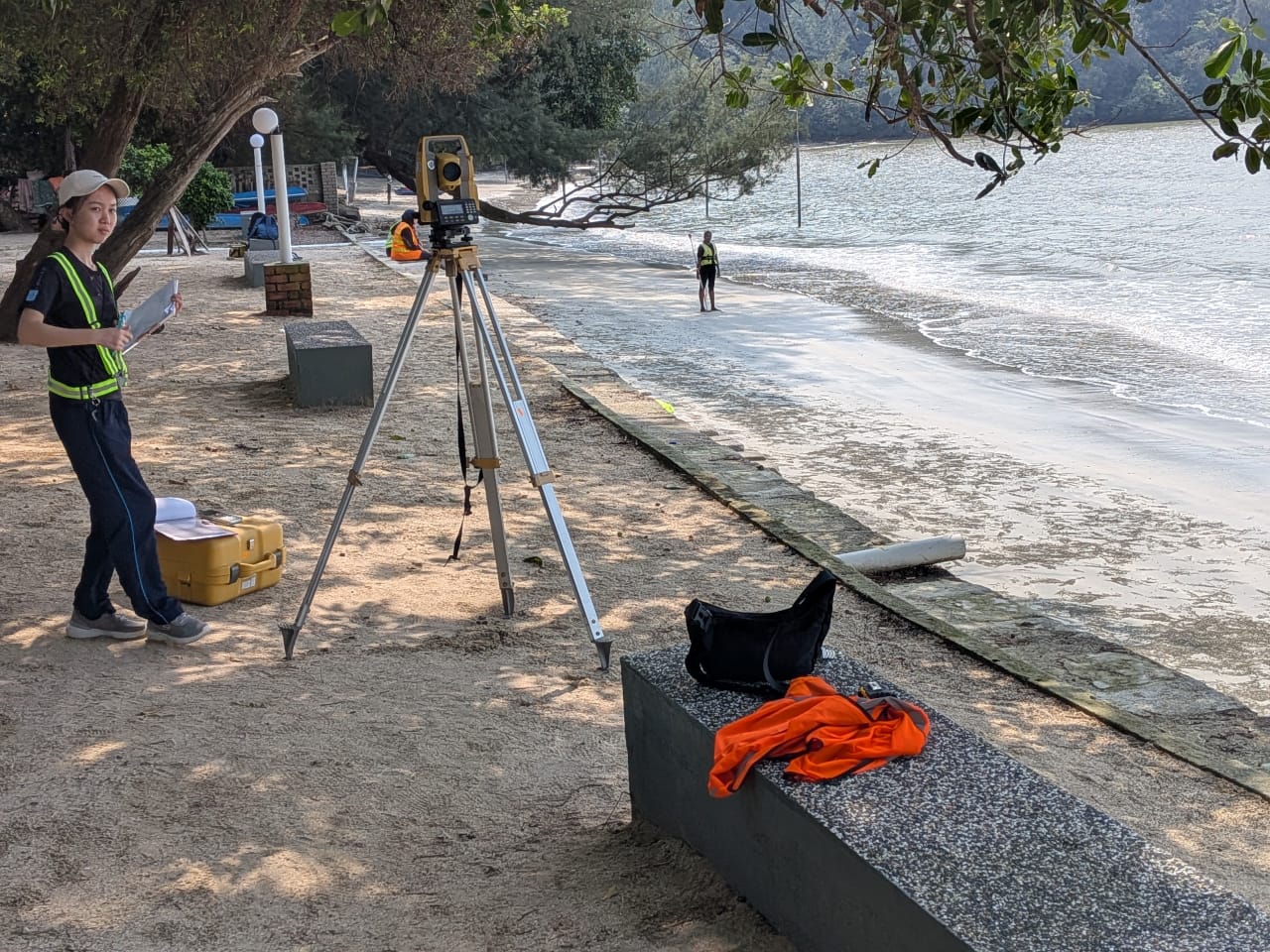
Bagi menambahbaik pelaksanaan kursus Spatial Data Management, kaedah Research-Tutored telah diimplementasikan dalam kelas. Ianya memberikan pelajar yang mengambil kursus ini untuk melaksanakan sebahagian cara melaksanakan kajian.
Pelajar diberikan tajuk khusus, dan diminta mencari rujukan dalam laman sesawang jurnal, seperti WOS dan Scopus. Pelajar juga didedahkan kaedah menggunakan perisian Mendeley bagi mempercepatkan proses membuat rujukan kelak. Pelajar diminta untuk mencari sekurang-kurangnya 5 artikel jurnal dalam laman sesawang yang dinyatakan.
Selepas mendapat artikel jurnal ini, pelajar kemudiannya dikehendaki membaca, dan mengenalpasti beberapa perkara utama, antaranya apa tujuan kajian, apa permasalahan, kaedah yang digunakan dalam kajian itu, serta data yang digunakan dalam kajian tersebut. Pelajar kemudiannya diminta untuk mengkelaskan kajian-kajian yang didapati. Kemudian dibentangkan dalam kelas.
Sesi soal-jawab antara rakan sekelas seterusnya dibuat, untuk melihat, adakah betul hasil kerja dilaksanakan oleh kumpulan tersebut, dan seterusnya persoalan kritikal akan dilontarkan bagi meningkatkan kefahaman pelajar.
Kaedah Research-Led Teaching (Pembelajaran Terpandu-Kajian) ini sangat diperlukan bagi menambahbaik pekerjaan semasa. Lebih-lebih lagi kerajaan menetapkan Malaysia mencapai Negara Berpendapatan Tinggi, yang sangat memerlukan kepada inovasi dalam pelbagai bidang. Dan salah satu kaedahnya, adalah dengan mengkaji kajian terdahulu, serta mengkaji bagaimana penambahbaikan rekabentuk, produk, atau model itu boleh dilaksanakan.