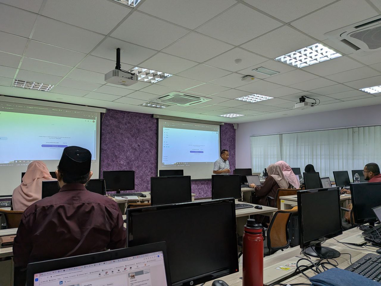
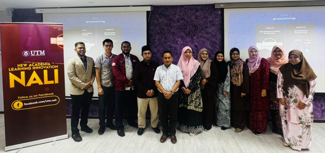
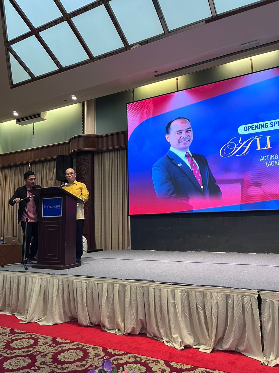
RECAP: NALI 2024

Recap:

Last year in October 2024, I took part in NALI 2024 (New Academia Learning Innovation) — an initiative by Universiti Teknologi Malaysia that celebrates innovative practices in teaching and learning.

I’m grateful to share that the project I submitted was awarded a Silver Medal. The work, titled “Heutagogy and Peer Assessment Approach in Improving Student Achievement,” reflects my ongoing commitment to student-centered and self-determined learning strategies in geoinformatics education.

Throughout the judging process, I gained many new insights — especially on areas for improvement in both implementation and the way the paper was written and presented. It was a valuable learning experience that will certainly inform my future teaching practices and research.

Thank you to the organisers, fellow educators, and especially my students for being part of this meaningful journey. I look forward to exploring more ways to enhance learning experiences.

hashtag#NALI2024 hashtag#TeachingInnovation hashtag#Heutagogy hashtag#PeerAssessment hashtag#HigherEducation hashtag#LearningTransformation

Recap: Publication Analysing Spatial Pattern

Recap:

Geographic Information Systems (GIS) can be effectively used to support business analysis and expansion strategies — including identifying existing outlet patterns and exploring potential locations for new franchises.

This was my old publication in 2023, where I analyzed the spatial distribution patterns of three major fast-food restaurant chains in Malaysia. The study identifies hotspot areas and assesses the probability of opening new franchise locations.

Feel free to explore the paper for more insights and detailed findings. Your thoughts and feedback are most welcome!


Title:
Analysing Spatial Pattern of the Three Major Fast-Food Chain Restaurants in Johor Bahru Johor, Malaysia

feel free to read it:
https://lnkd.in/gjr5FNj7

Discussion on Geospatial Policies

Last month I was given an opportunity to handle discussions on Geospatial policy in one of the States in Malaysia

Very interesting topics, since policies are one of my sub-niches under SDI or spatial data sharing

Some key points:
– roles and responsibilities
– principles
– guidance

There are many policies in global, regional, national, and state level.

I would love to have further discussion and research on this “boring” sub-niche of SDI in the future


regards

Panel members for Curriculum Review

I am honored to share that I have been appointed as one of the panel members for the curriculum review of the Diploma Teknologi Geospatial program at Universiti Teknologi MARA (UiTM).


I am truly excited for the opportunity to contribute my knowledge and experience toward strengthening and enhancing the program, ensuring it remains relevant to current industry trends and future geospatial advancements.

Thank you to UiTM for the trust and confidence. Looking forward to working together with distinguished colleagues and experts in shaping the future of geospatial education in Malaysia!

hashtag#Geospatial hashtag#CurriculumDevelopment hashtag#HigherEducation hashtag#UiTM hashtag#SpatialScience hashtag#Geoinformatics

First Publication of 2025!

Another publication by one of my students: “Spatial Distribution Patterns of Vehicle-Etching Cases in Johor Bahru, Malaysia.”

This paper explores how spatial statistical analysis was used to identify the distribution patterns of vehicle-etching cases within the Johor Bahru District.

The research applied Geographic Information Systems (GIS) to map out these incidents and uncover whether there were any noticeable trends or “hotspots” across the city — and the results showed that these acts of vandalism aren’t as random as they might seem.

If you’re curious about the methodology, findings, or want to collaborate on something similar, feel free to dive into the full paper or reach out.

https://jagst.utm.my/index.php/jagst/article/view/99

Thanks for reading!

Sem 2 Sesi 2024/2025

Assalamu’alaykum and Greetings

Universiti Teknologi Malaysia akan memulakan kuliah semester 2 bagi sesi 2024/2025 pada 17 Mac 2025.

Selamat kembali dan semoga terus berusaha untuk mendapat manfaat dari pengajian anda!

Comparing Food Tourism Hotspots Before and After MCO 3.0 Lifted via Data Mining in Johor Bahru, Malaysia

We are thrilled to announce that we has recently published a chapter in book titled:

“Comparing Food Tourism Hotspots Before and After MCO 3.0 Lifted via Data Mining in Johor Bahru, Malaysia”

This research delves into the dynamic realm of food tourism, exploring the impacts of the lifting of MCO 3.0 on Johor Bahru’s culinary landscape. Through meticulous data mining techniques, we has unearthed fascinating insights into the transformations undergone by food hotspots in the wake of regulatory changes.

Link: https://link.springer.com/chapter/10.1007/978-3-031-50848-6_11

Tahniah Pemenang IGRASS 2022

Tahniah diucapkan kepada 3 pelajar daripada Geoinformasi yang memenangi pertandingan di IGARSS 2022.

Pertandingan ini iaitu Map Design Competition telah dianjurkan oleh GeoScience and Remote Sensing Society (GRSS), IEEE dengan kerjasama International Geoscience and Remote Sensing Symposium (IGARSS). Simposium ini telah berlangsung pada 17 sehingga 22 Julai 2022, bertempat di KLCC.

Pertandingan ini telah dimenangi oleh Siti Sarah Farhana Ahmad, pelajar Sarjana Sains (Remote Sensing) dengan petanya bertajuk “Global Coronavirus First Lockdown Map”, diikuti pemenang kedua Maisarah Zulkifli, dan tempat ketiga dimenangi oleh Nuraqeela Ariffin. Kedua-dua pelajar ini adalah pelajar Sarjana Muda Sains (Geoinformatik) dengan kepujian di Fakulti Alam Bina dan Ukur (FABU), UTM. Tahniah buat ketiga-tiga pemenang!

GIS WebTalk Siri 1

GIS WebTalk Siries 1

Assalamu’alaykum and Good Day

So, my friend’s Dr Uznir along side with 4th year student whom taken Spatial Data Management subject, successfully organized a GIS WebTalk Siries 1. This talk was initially an initiative to give exposure to student on how GIS being implemented in organization in Malaysia.

For the first siries, we invite Mr Zubaidi Daud, a Senior GIS Executive from Indah Water Konsortium Sdn Bhd, a company whom manage all the sewerage in Malaysia. Mr Zubaidi share how GIS was improving the sewerage asset management, and the development of IGIS, and Integrated GIS for IWK’s internal usage.

Hopefully all the participants got something from this sharing

regards