Tag Archives: geospatial

GeoMod 3D – International Research Colloquium 2025

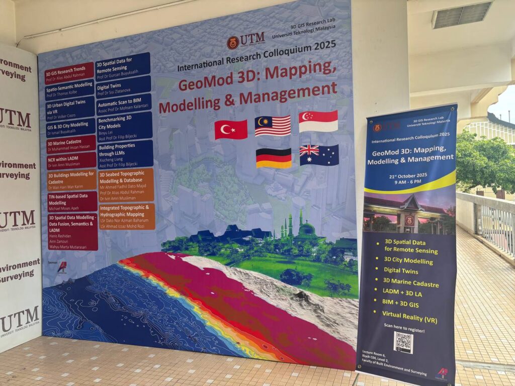
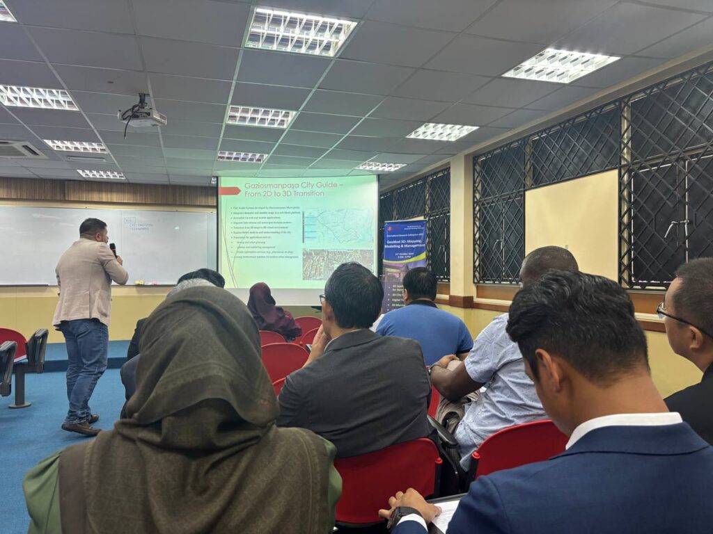
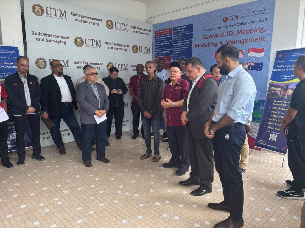
I had the opportunity to attend the GeoMod 3D International Research Colloquium 2025, organised by the 3D GIS Research Lab, Universiti Teknologi Malaysia (UTM), on 21 October 2025.

This one-day event gathered academics, researchers, students, and industry professionals to exchange ideas and share the latest developments in 3D mapping, modelling, and spatial data management. The colloquium featured insightful presentations from international experts, including speakers from Germany, Australia, Turkey, Singapore, and Malaysia, covering topics such as 3D Digital Twins, BIM, LADM, City Models, and Marine Applications.

What made this event even more engaging was the active participation from industry partners such as AFTECH Sdn. Bhd., Indah Geomatik, and I-Net Spatial Sdn. Bhd., who shared their experiences and real-world projects in 3D development and applications within the geospatial sector.

It was a meaningful platform that bridged the gap between academia and industry — fostering collaboration, innovation, and knowledge sharing in the ever-evolving field of Geoinformatics.

Kudos to the organising team for an excellent and inspiring event! 

D8-NPIR Summit 2025: Strengthening International Collaboration in Research and Innovation

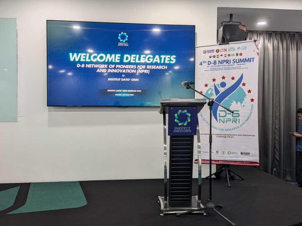
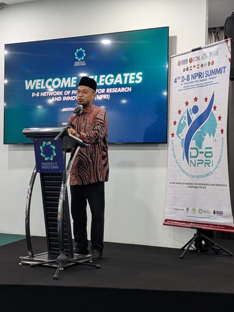
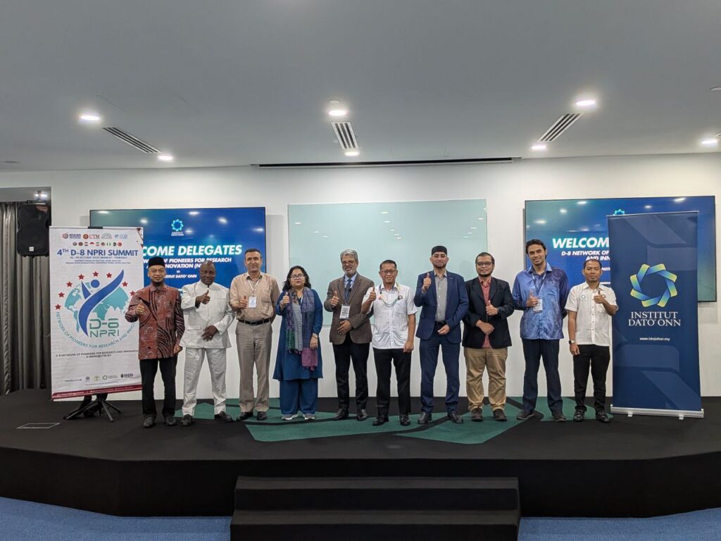
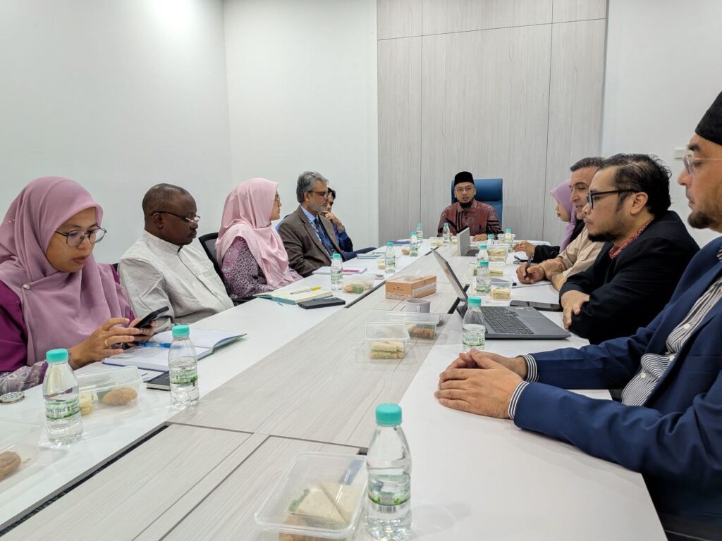
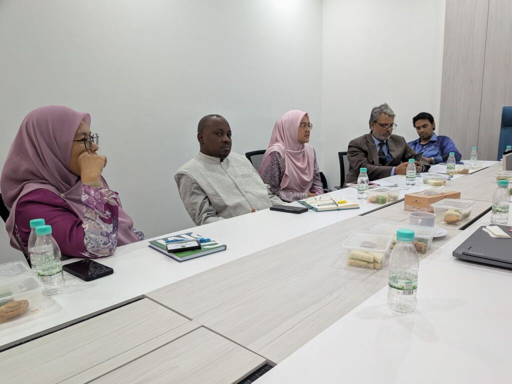
I had the opportunity to join the final day of the D8-Network of Pioneers for Research and Innovation (D8-NPIR) Summit 2025 held in Johor Bahru. The session focused on the signing of Memorandums of Understanding (MoUs) between participating delegations, marking an important milestone in fostering future collaborations among member countries.

It was an inspiring experience to witness representatives from eight D8 nations come together with a shared commitment to advance cooperation in research, innovation, and education.

With Universiti Teknologi Malaysia (UTM) now assuming the Chair of D8-NPIR for the next two years, I believe this platform will continue to strengthen international partnerships and open new avenues for impactful collaboration in the years ahead.

#D8NPIR #GlobalCollaboration #ResearchAndInnovation #HigherEducation #UTM #InternationalPartnerships #SustainableDevelopment

Another Paper Published for 2025!

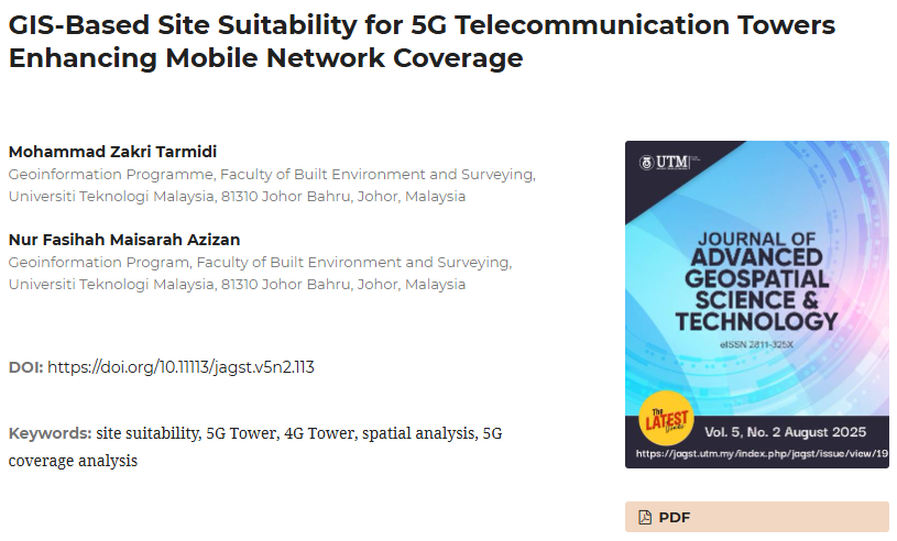
I’m excited to share that my latest paper, “GIS-Based Site Suitability for 5G Telecommunication Towers Enhancing Mobile Network Coverage,” has just been published in the Journal of Advanced Geospatial Science and Technology (JAGST)

This study applies GIS-based spatial multi-criteria analysis (SMCA) to identify optimal locations for 5G telecommunication towers in Kulai, Johor. With 5G coverage still limited in Malaysia, our findings show how geospatial data can be leveraged to plan and expand next-generation mobile networks more effectively — from analysing existing 4G/5G infrastructure to assessing population density, terrain, and signal coverage.

We hope this work contributes to smarter infrastructure planning and improved connectivity for underserved areas.

Read the full article here: https://lnkd.in/gfJ_y-im

GIS Training Camp 1 2025 Site Visit

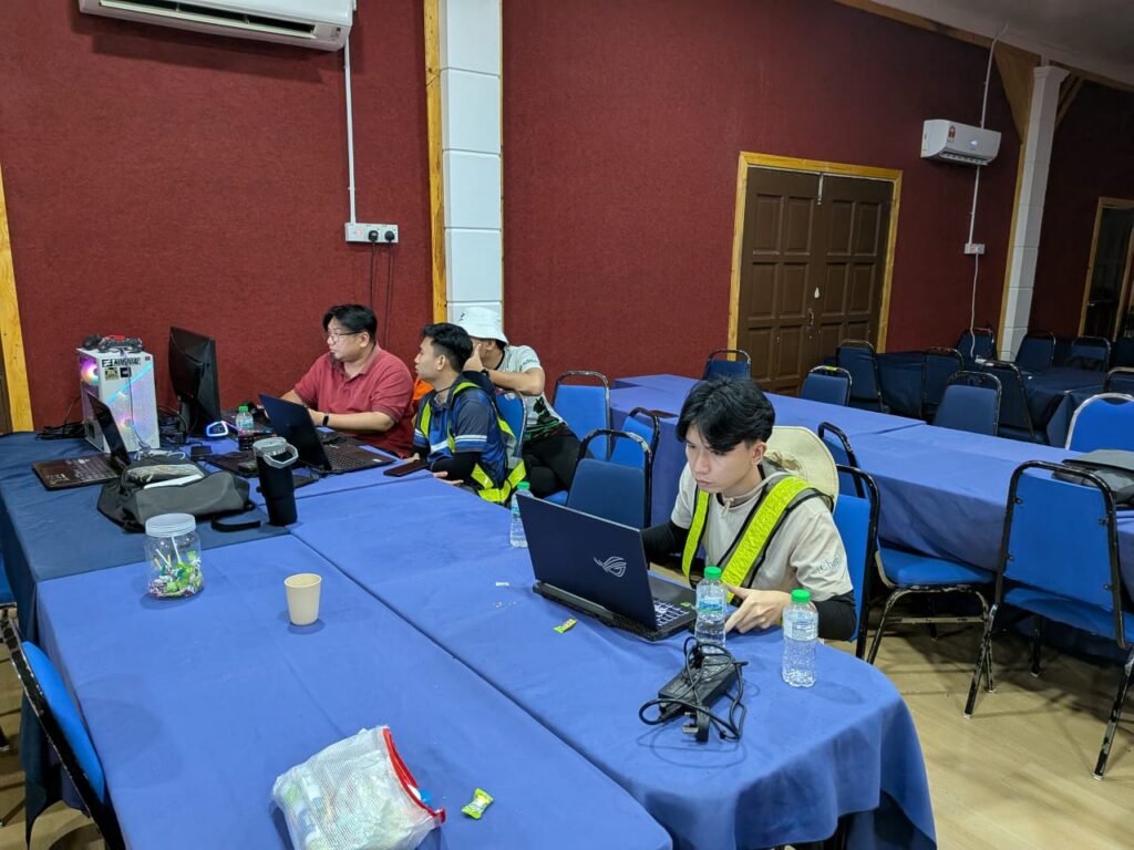
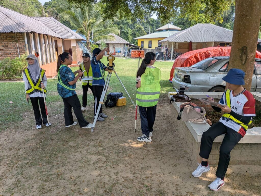
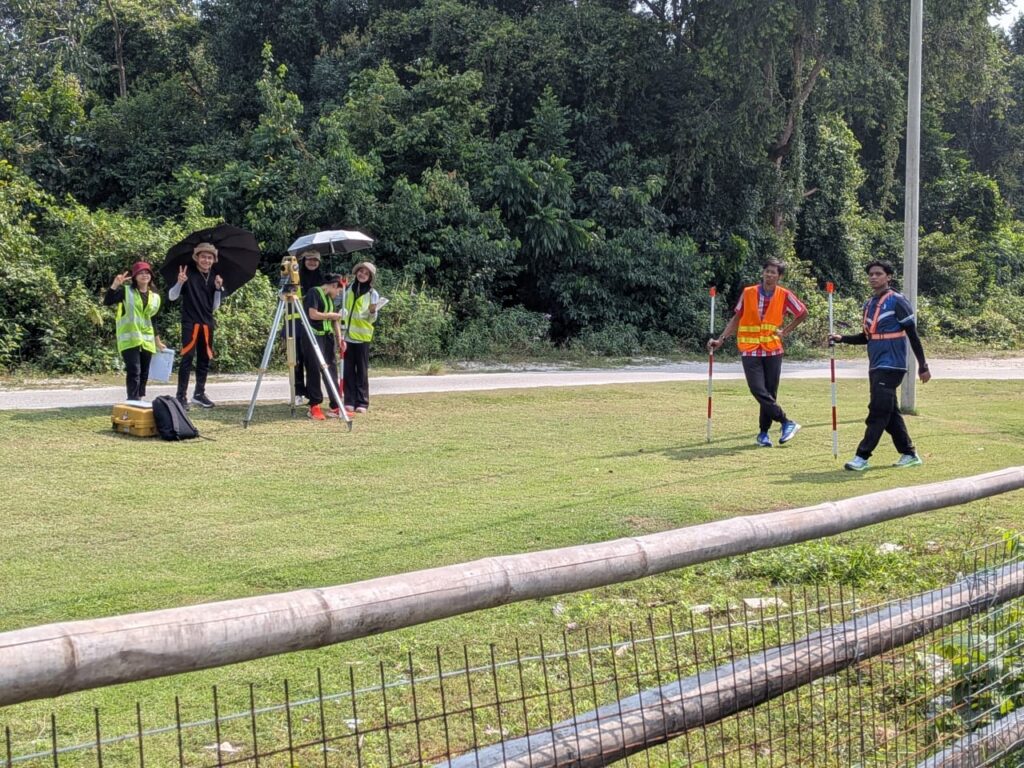
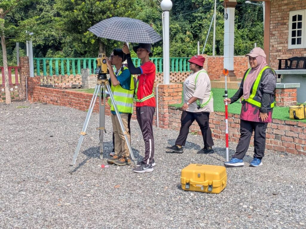
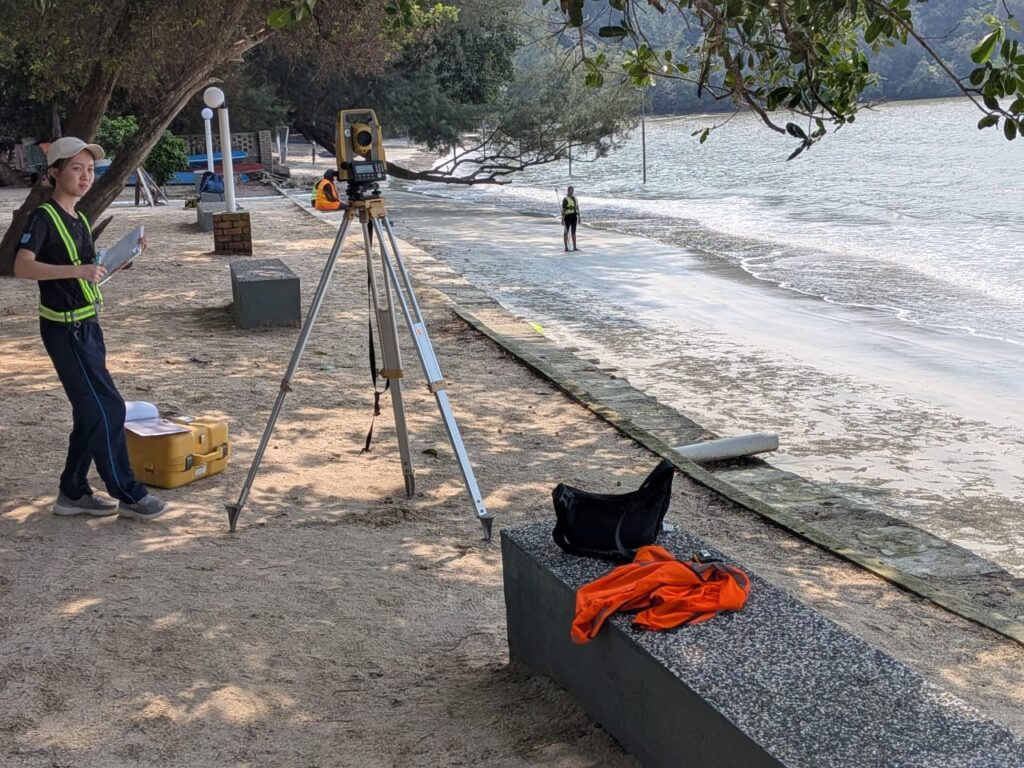
Last week I went to Teluk Gorek, Mersing to visit 2nd year students of Geoinformatics that are currently doing their GIS Training Camp 1.

This time GIS Training Camp 1 was held in Telok Gorek, Mersing. With a total number of 48 students. They collected all the data for the resort and later will be processed and stored in a geospatial database.

I hope this experience will help them facing the real world problems and able to provide solutions related to issues they’ll face later.

#geoinformatics #sbegh #GIS #GISbootcamp #GIStrainingcamp

Master Project Proposal Defend

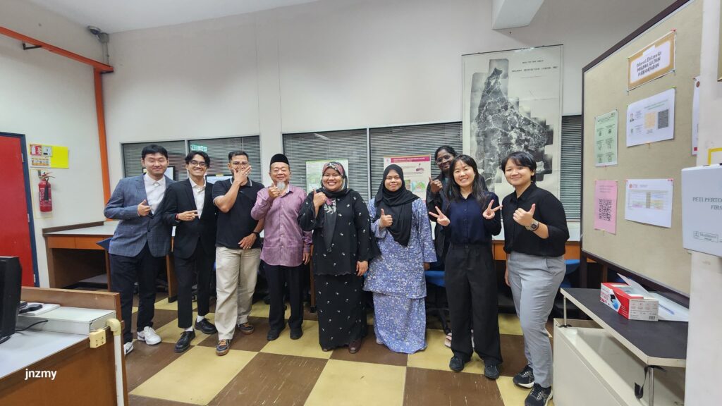
I’m grateful to become one of the panels for Master of Science in Geoinformatics this semester with Dr Suzanna Noor Azmy and Prof Dr Anuar Ahmad

All the students’projects are really interesting and hopefully students will gain some insight and information to help their projects grow and be improvised later

Hope to hear good news from all of them later!

#geoinformatics #MSc #masterproject #MBEO

Standard Committee

Honoured to contribute as part of the working group for the review of MS1759: Geographic Information — Feature Catalogue.

Earlier this year, I had the opportunity to participate in a review workshop held in February 2025, organised under the Department of Standards Malaysia. The session brought together experts and practitioners to refine and strengthen this important national standard.

I hope this small contribution helps support the geospatial community in Malaysia — and benefits the wider public through improved geospatial data practices and interoperability.

Thank you to the organisers and fellow working group members for the meaningful discussions and collaboration.

hashtag#MS1759 hashtag#GeospatialStandards hashtag#FeatureCatalogue hashtag#GISMalaysia hashtag#StandardDevelopment hashtag#Geoinformatics

New Teaching and Learning Books

I’m pleased to share that one of my writings has been published in the recently released book “Best Practices of Research-Led Teaching” by UTM CDeX, launched in early 2025.

My chapter, titled “GIS and RS Applications,” highlights how I incorporate a research-tutored approach in the classroom — guiding students through real research content and methods to develop deeper understanding and skills in geospatial analysis.

This work reflects my continued commitment to bridging research and teaching — ensuring students are not only learning about research, but actively learning through it.

Thank you to UTM CDeX for the opportunity, and to all colleagues and students who have contributed to this meaningful journey.

hashtag#ResearchLedTeaching hashtag#GIS hashtag#RemoteSensing hashtag#HigherEducation hashtag#UTMCDeX hashtag#TeachingInnovation