TRUST ISSUE – DON’T USE GIS DATA BLINDLY
Would you trust a map if you didn’t know where it came from?
Imagine downloading a GIS dataset that looks perfect.
It has roads, buildings, rivers, and land parcels. Everything seems ready to use.
But then the questions start.
❓ Who created it?
❓ When was it last updated?
❓ How accurate is it?
❓ Which coordinate system does it use?
❓ Can you trust it for your analysis?
Without metadata, you have no answers.
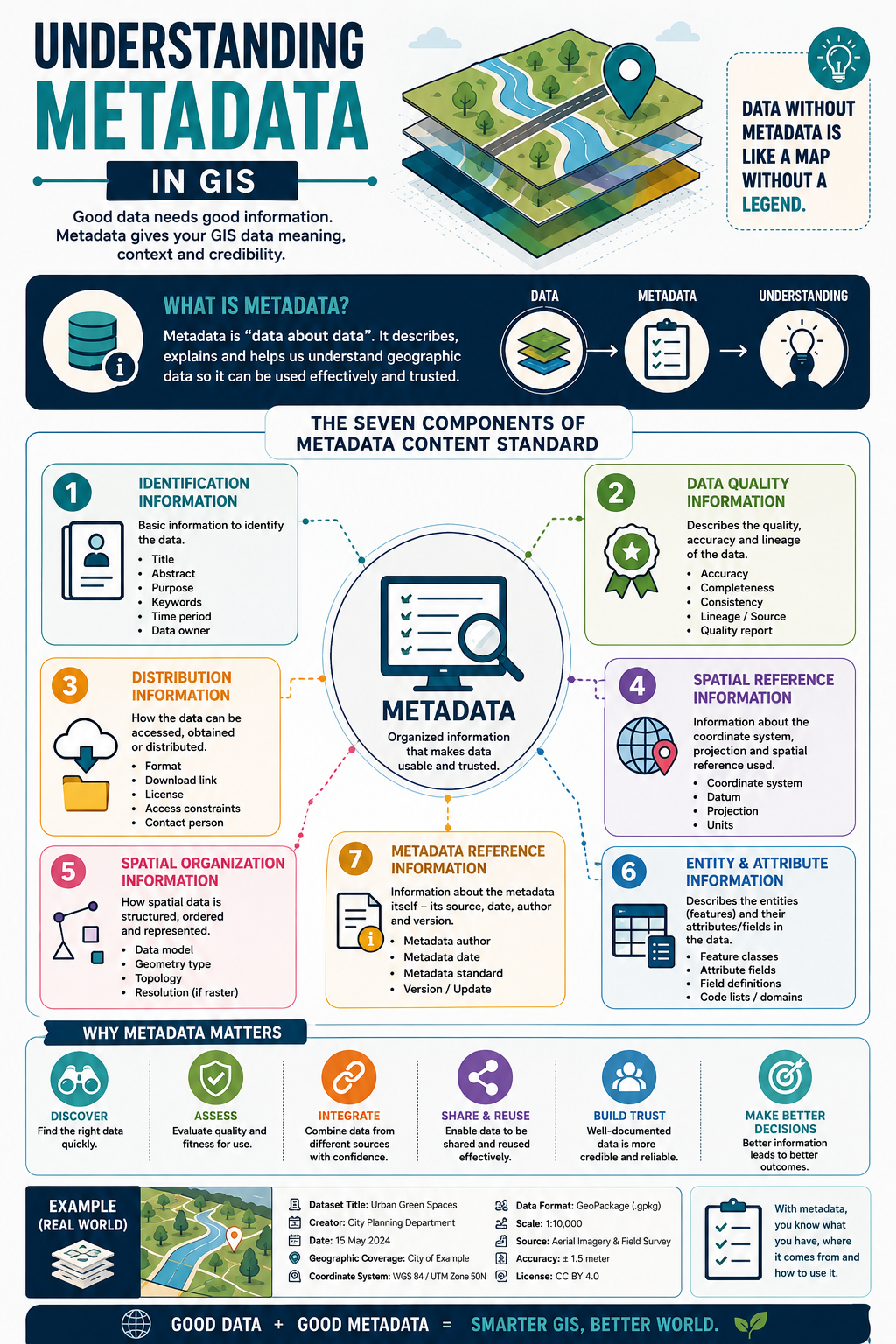
That’s why metadata is often called “data about data.” It provides the information needed to understand, evaluate, and confidently use a GIS dataset.
Good metadata tells you:
📌 What the dataset contains
📌 Who created it
📌 When it was collected or updated
📌 Where it covers
📌 How it was produced
📌 How accurate it is
📌 How you can access, share, and reuse it
Think of metadata as the instruction manual for your GIS data.
Without it, even the best dataset can become confusing, unreliable, or impossible to use correctly.
Why is metadata important?
✅ Helps you discover the right dataset faster
✅ Allows you to assess data quality and suitability
✅ Makes it easier to integrate data from different sources
✅ Encourages data sharing and reuse
✅ Builds confidence and trust in your analysis
A simple way to remember it:
📍 Data tells you the answer.
📋 Metadata tells you whether you should trust the answer.
The next time you download a GIS dataset, don’t just open the map.
Open the metadata first.
It might be the most valuable information in the entire dataset.
Have this in mind when you look at neat datasets, “it’s too good to be true” 😊
#GIS #Metadata #Geospatial #SpatialData #GISLearning