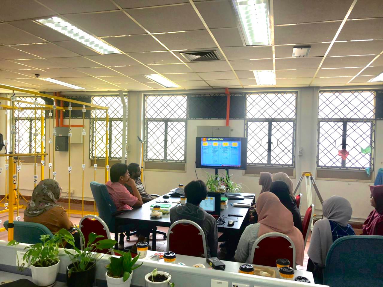
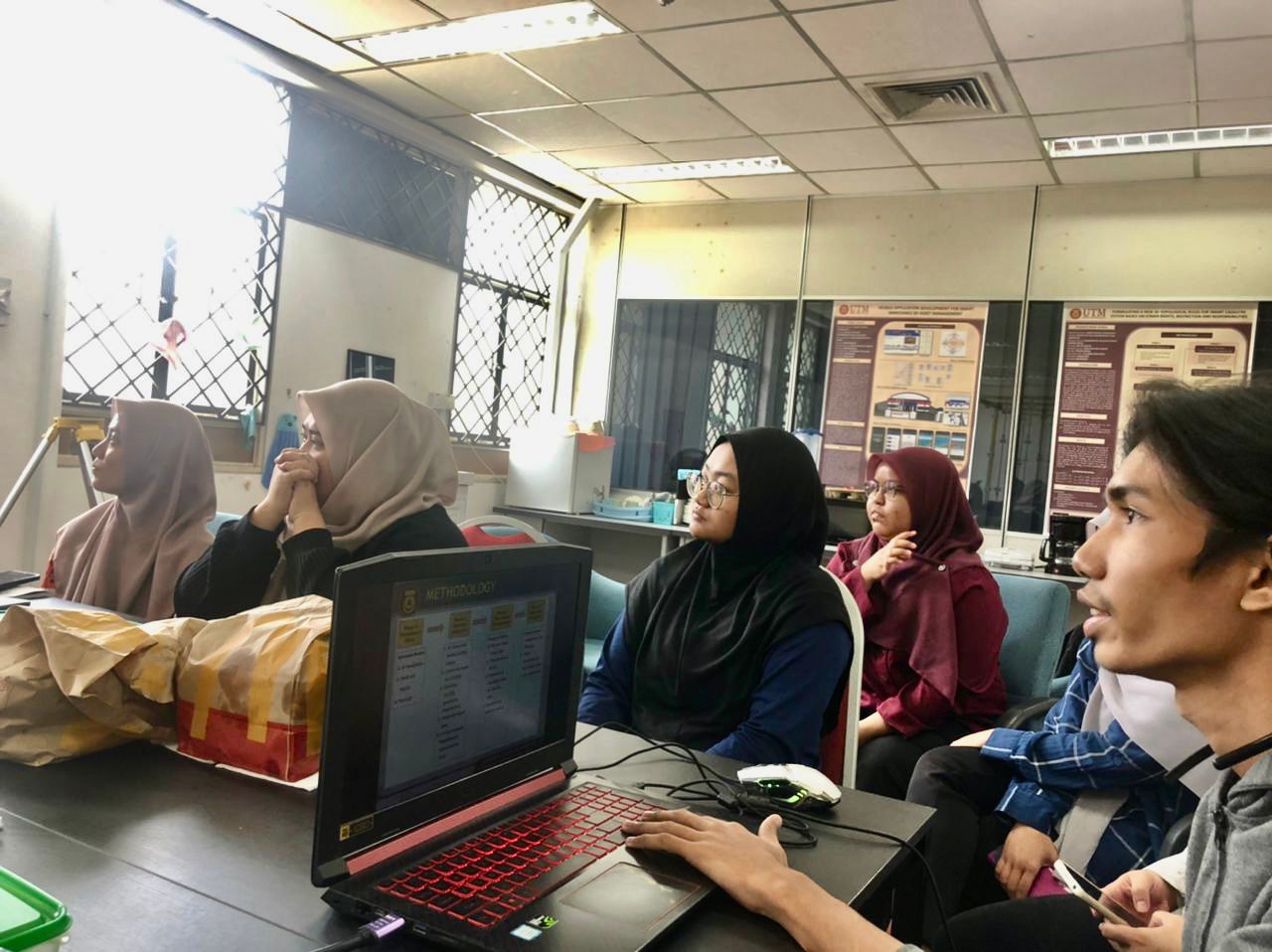
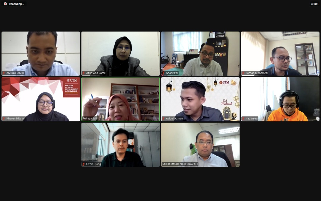
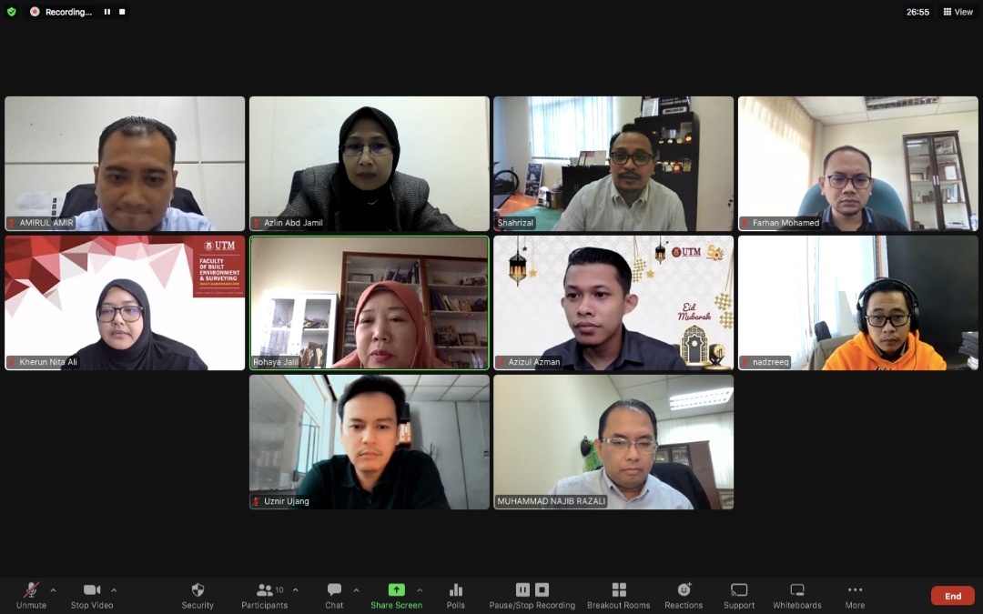
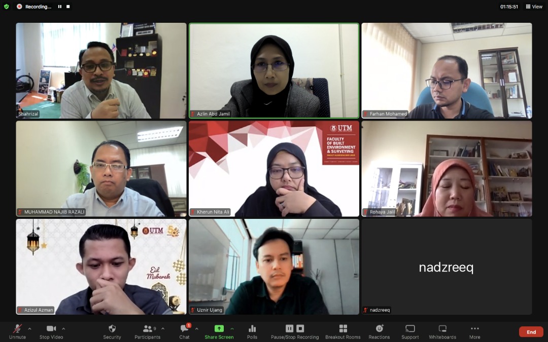
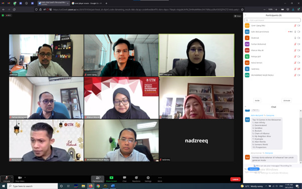
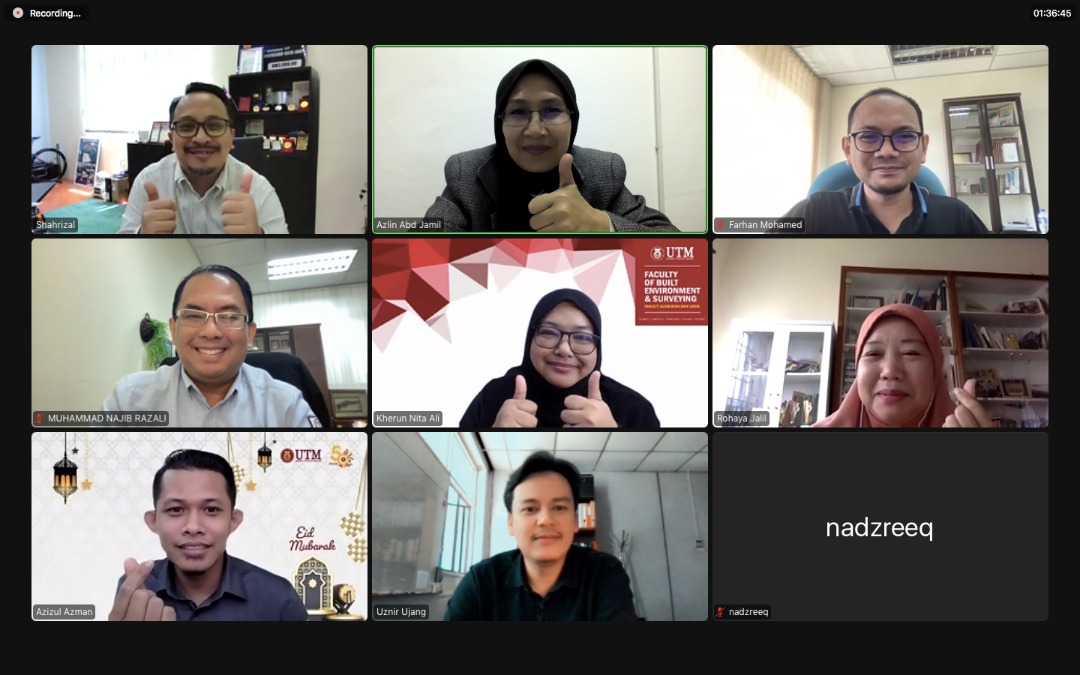
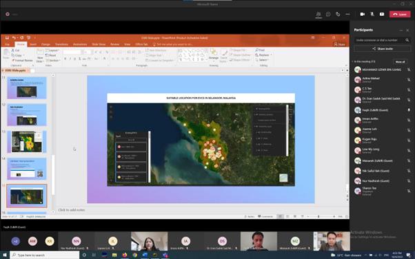
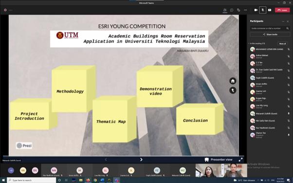
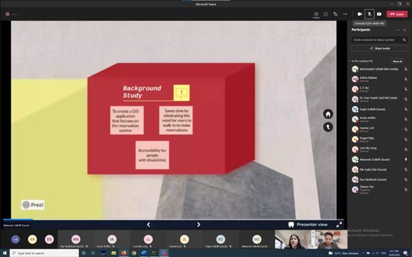
On the 17th of July 2022, the 3D GIS Research Lab held its monthly progress meeting. The students demonstrated the progress they had made in their research over the preceding month throughout the productive meeting. This time, we combined the discussion with student presentations at undergraduate and postgraduate levels. Later, these students can communicate with one another and obtain an idea of how the study is conducted on various levels. I want to thank these students for their great performance on their individual research projects.
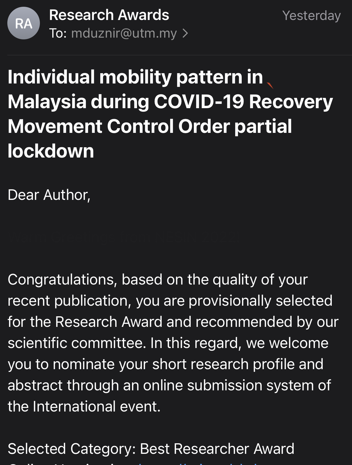
As a result of the geographic data mining methods and the identification of human spatial trajectories provided in the “From Instagram to Science” journal publication, it was chosen for the Best Researcher Award 2022. It was a pleasant surprise. We plan to revolutionise GIS science to help the community deal with pandemics. We want to express our gratitude to the members of the scientific panels that considered our work for this award.
You may read our work here: https://rgs-ibg.onlinelibrary.wiley.com/doi/10.1002/geo2.113
FROM INSTAGRAM TO SCIENCE (JOURNAL ARTICLE SHARING)
Title: Individual Mobility Pattern in Malaysia During COVID-19 Recovery Movement Control Order (RMCO) Partial Lockdown
Journal: Geo: Geography and Environment
DOI: https://doi.org/10.1002/geo2.113
Our journal paper was 100% created during the UTM Work From Home (WFH) policy in the year 2021 pandemic. From social media instagram geo-data mining, geo-coding, geo-modelling, geo-analytics, official data correlation and writing, everything was done at home. The Geo: Geography and Environment journal is a Q2 journal with an impact of 12 and located in UK (Wiley Publisher).
Using the new approach we created in GISc, the findings show that when the Recovery Movement Control Order (RMCO) is implemented in Malaysia, the focus areas of Malaysians show uniform and consistent spatial pattern trajectories throughout the country. It is then supported by official data from the Ministry of Health Malaysia with an increase in cases of COVID-19 cases in the hotspot areas identified in this study.
What is unfortunate is that the findings of this study cannot be shared in advance for public use because the evaluation process by the reviewers of this international journal takes some time. However, we understand this enables the expert reviewers to evaluate the new proposed techniques, data, and writing to meet the world standards.
Hopefully, the new GISc techniques introduced in this journal can be used for future reference. Data mining from social media can provide insights into the findings of scientific studies.
P.S: This research is unrelated to the field of 3D GIS. But it shows how our new technique in GIS (2D) can help in predicting COVID-19 hotspots. Please don’t hesitate to read the paper and share it to your acquaintance and students. Thanks!
Warm welcome to Mr. Nevil Wickramathilaka to Universiti Teknologi Malaysia. He is a lecturer from the Department of Spatial Sciences, General Sir John Kotelawala Defence University, Sri Lanka. He will be doing his MPhil study in UTM under my supervision. We will be working together in creating an improvisation equation for green areas via 3D city modelling. Welcome to the group!
Throwback [24 May 2022] – First initial meeting call for UTM Metaverse project. It is a brainstorming session in bringing UTM to a new niche area which is developing metaverse for UTM.
I was able to give an idea on how to incorporate metaverse in the university. Among the advantages of creating a metaverse in the university are; students can socialize virtually, this includes going to lectures, sports, tadarus, and so on. Its a new concept (future new norm), which can be tested in the university.
Our new journal paper (Modern City Issues, Management and the Critical Role of Information and Communication Technology) published in the International Journal of Advanced Computer Science and Applications (IJACSA). It is a Web of Science and Scopus indexed journal that focuses on publishes research, review and survey papers which offer a significant contribution to the computer science literature, and which are of interest to a wide audience.
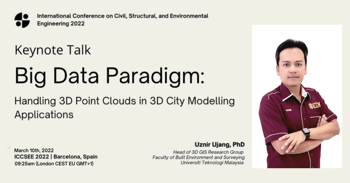
Invited to be one of the organizing committee members (OCM) for the International Summit on Civil, Structural, and Environmental Engineering 2023. It is a new conference for me but being with other scientists and academicians from all around the globe makes me feel overwhelmed . It is a physical/face-to-face conference. Let us hope next year everything will be better.
I was appointed as an editorial board member for The International Journal of Built Environment and Sustainability (IJBES). This journal is indexed by Emerging Sources Citation Index (ESCI), Asean Citation Index, UDLedge Social Science & Humanities Citation Index (SS&HI), Focus, MyCite, MyJurnal, Google Scholar. IJBES is an international peer-reviewed journal addressing the present research, developments, and best practices in the field of the built environment, including Urban and Regional Planning, Architecture, Quantity Surveying, Landscape Architecture, Construction and Building and Infrastructure Development in view of social, cultural, economic and environmental sustainability. If you have any papers or manuscripts that you would want to submit, you may want to consider IJBES as one of the potential options for your submission. Please let me know if this is something you are interested in.
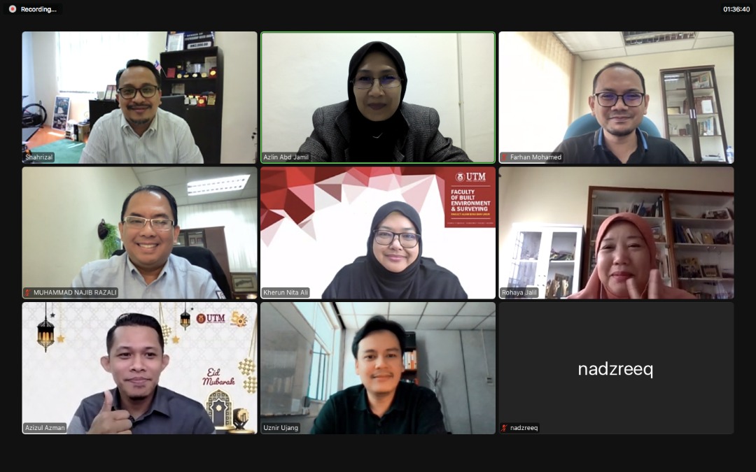
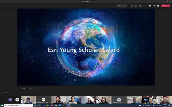
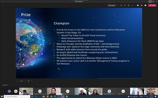
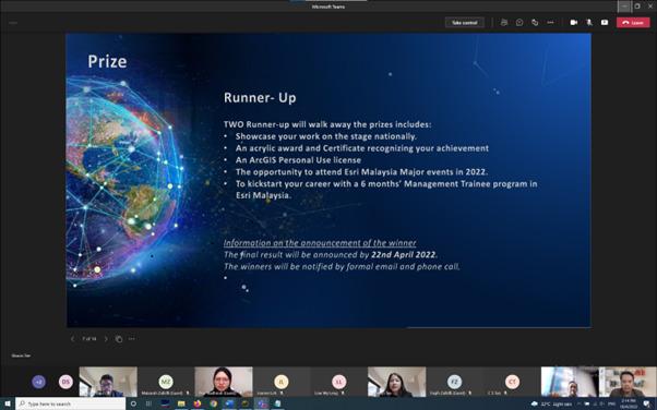
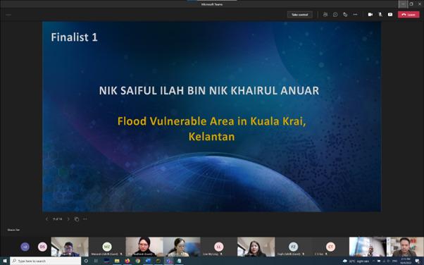
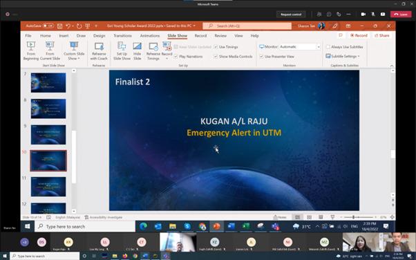
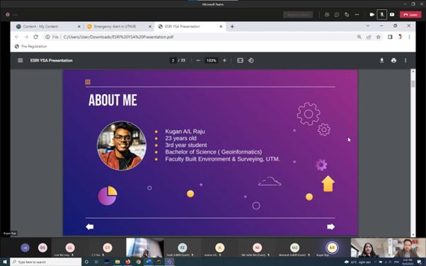
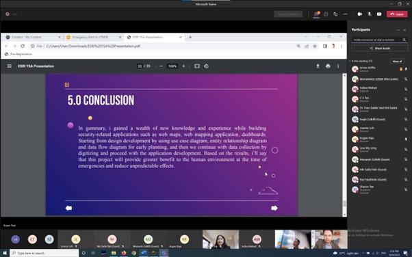
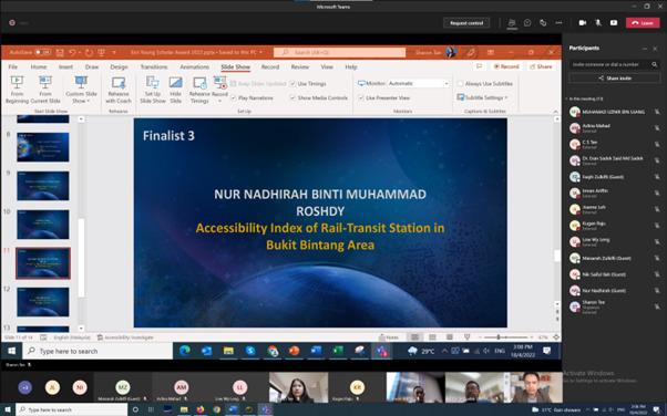
Opportunity to be on a jury of five finalists for The 2022 Esri Young Scholars Award. Quite excited to see the results of the students’ work in using ESRI technology for GIS works. This award offers university students from across the country the chance to win a free trip to Esri UC – the world’s largest geospatial technology conference – held in San Diego. Open to undergraduate and postgraduate students studying spatial disciplines, the competition celebrates excellence, innovation, and creativity in using GIS applications to drive positive outcomes. Students can enter by submitting a project, software development, application or research paper leveraging GIS. This can be a current passion project or work completed in the previous university year. Thank you ESRI, for organizing this event for the students.