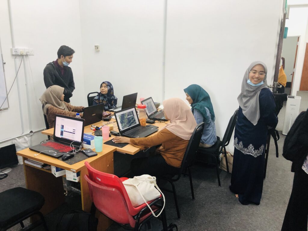
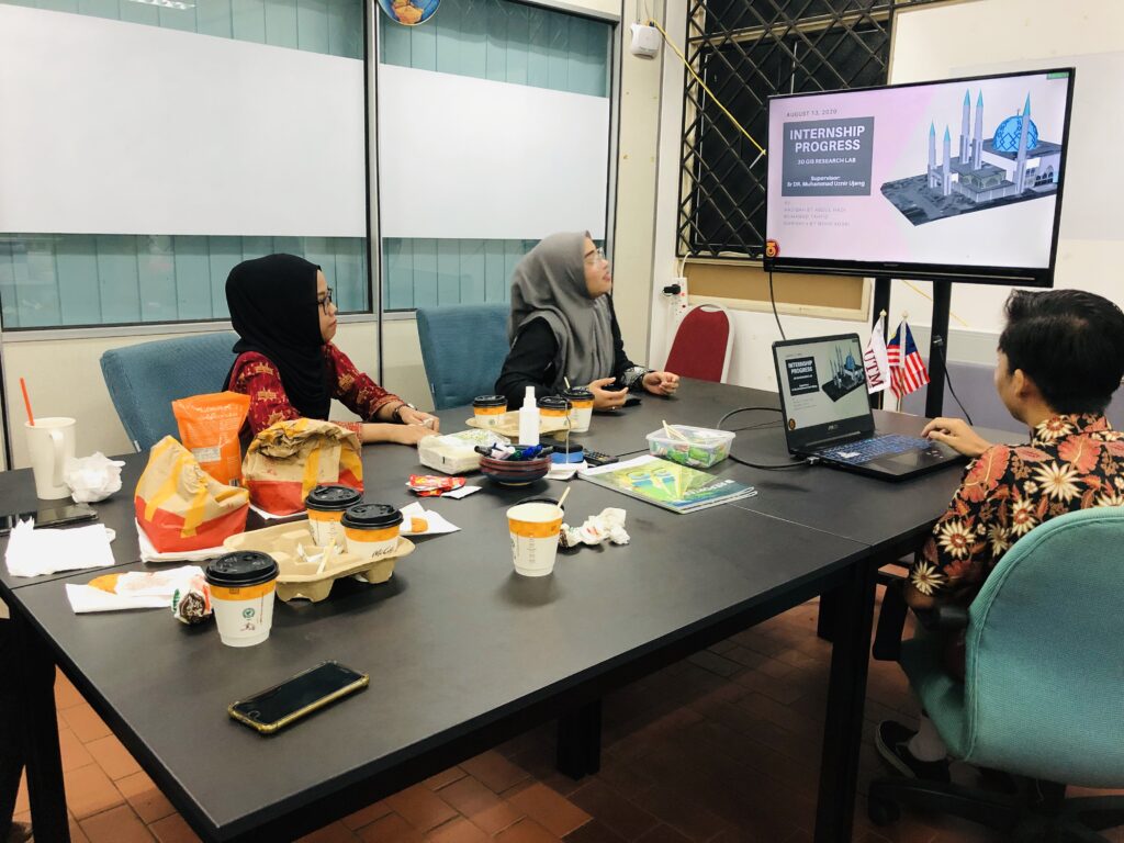
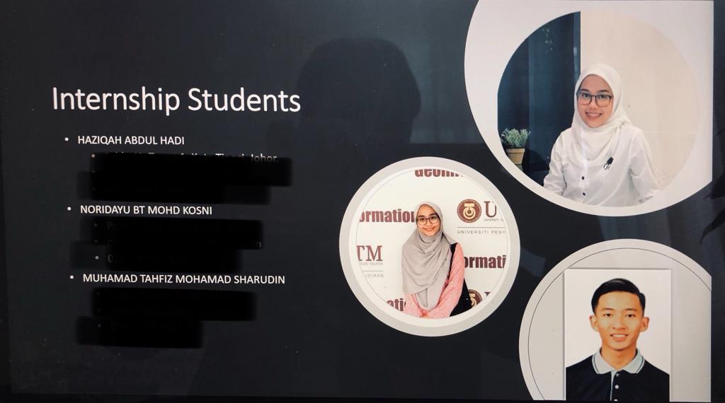
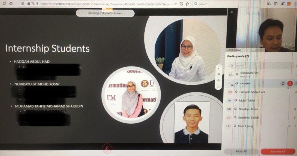
Internship Students Industrial Meeting Experience
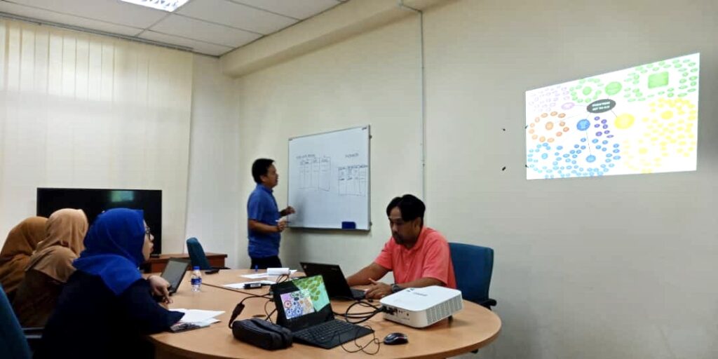
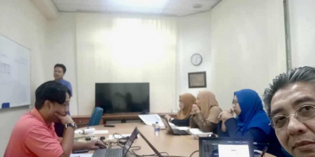
I brought my lab #internship #students to a meeting with a private company (industrial key players) today. This meeting aims to discuss our UTM research progress for our contract research awarded by the #industry.
The feedback received from the students is that this is a new experience for them, even though they are not directly involved in this contract research project.
My intention is that I want to make it clear to them that, in the industry, the works are not as “beautiful” or “smooth” as written in the university textbook. Don’t blame the industries, it’s you (future graduates) to make it “smooth” as it should like in the textbook.
Apart from that, the internship students also have the opportunity to meet their classmates who are also doing their internships in the same company. They look so happy as if they weren’t seen for a long time. I would say that #studentlife is a moment that is going to last forever. Cherish every moment of it.
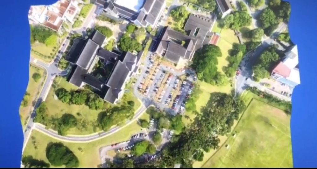
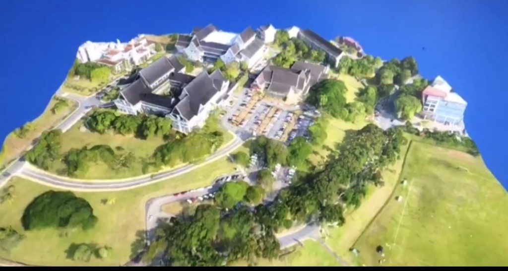
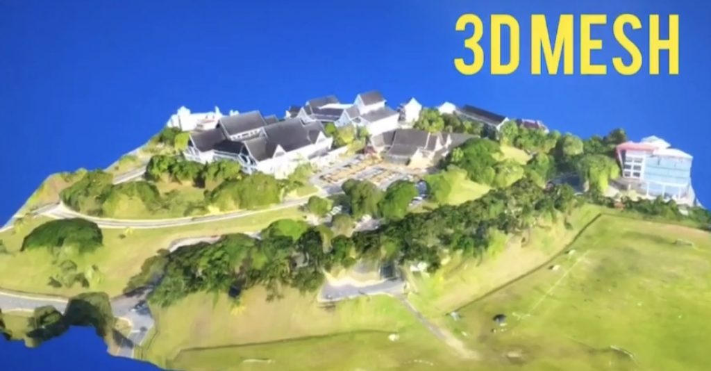
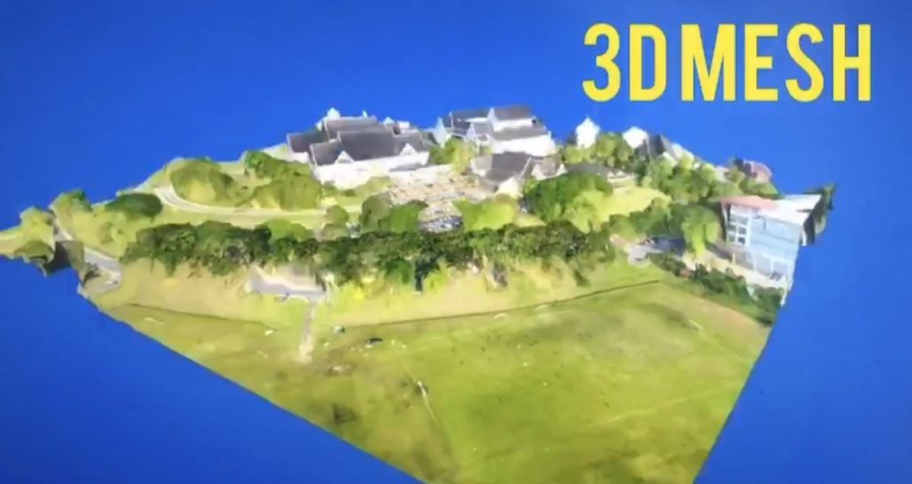
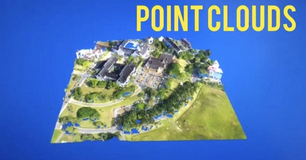
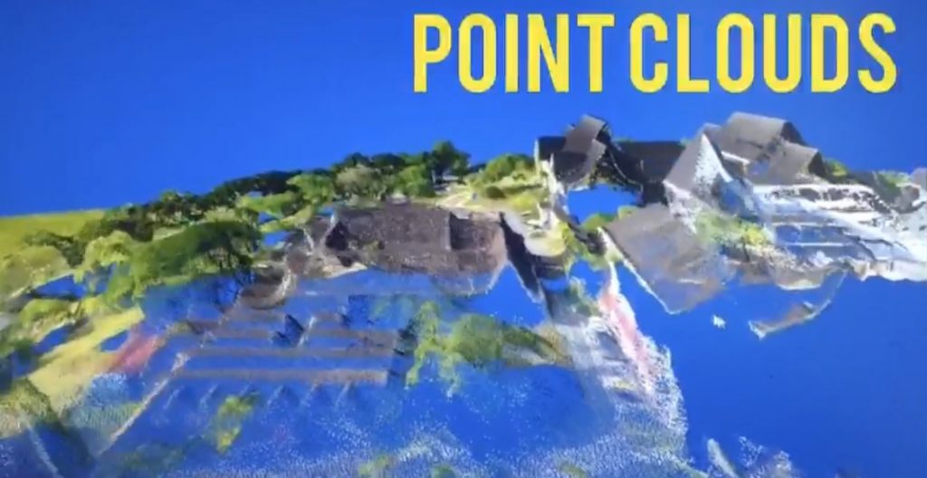
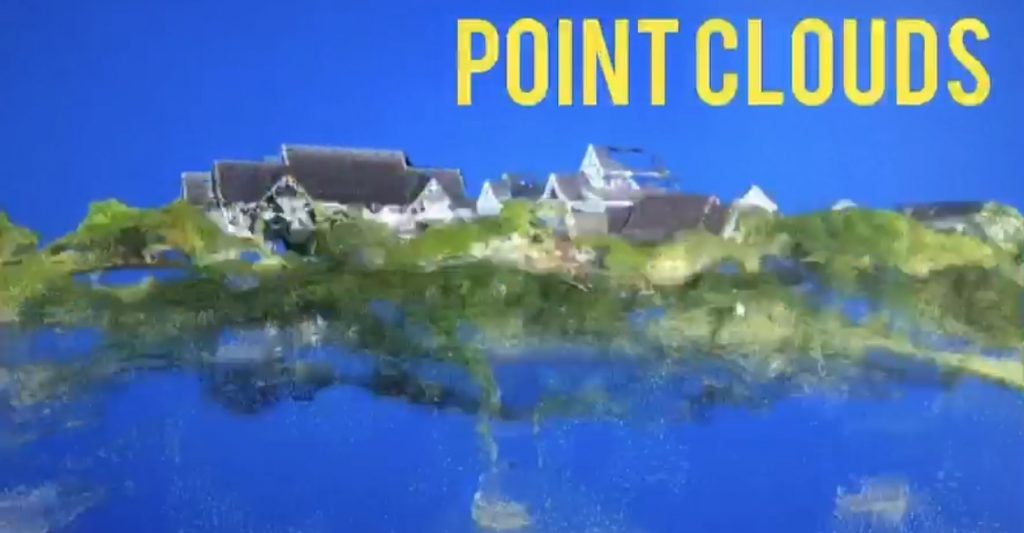
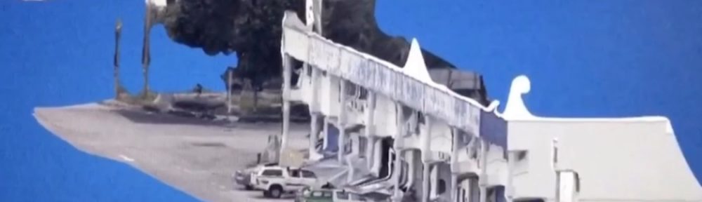
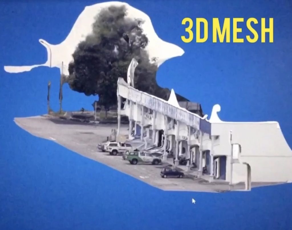
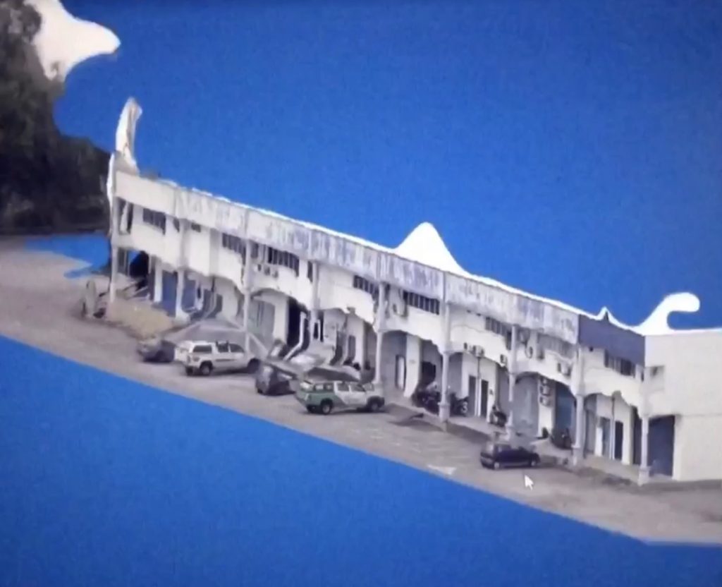
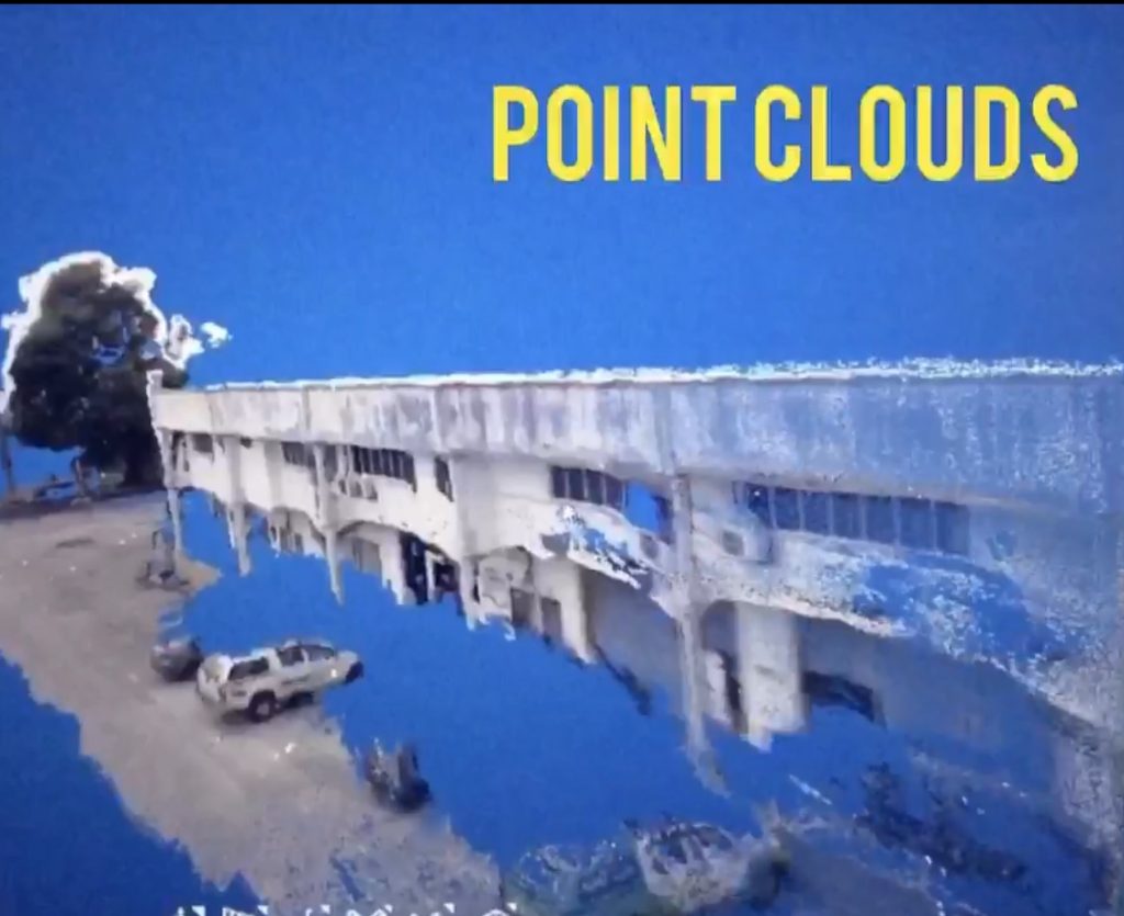
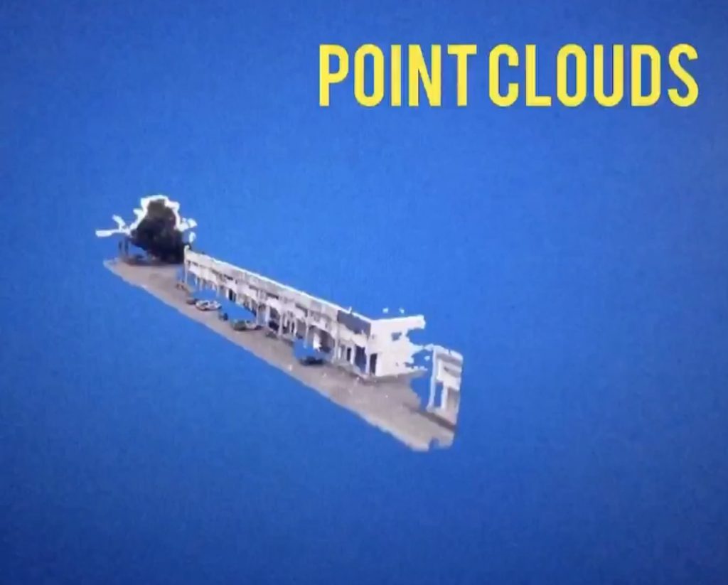
#university #highereducation #academicresearch #research #gis #spatialanalysis #3dgis #studentinternship #pointcloud #lidarresearch #researchers


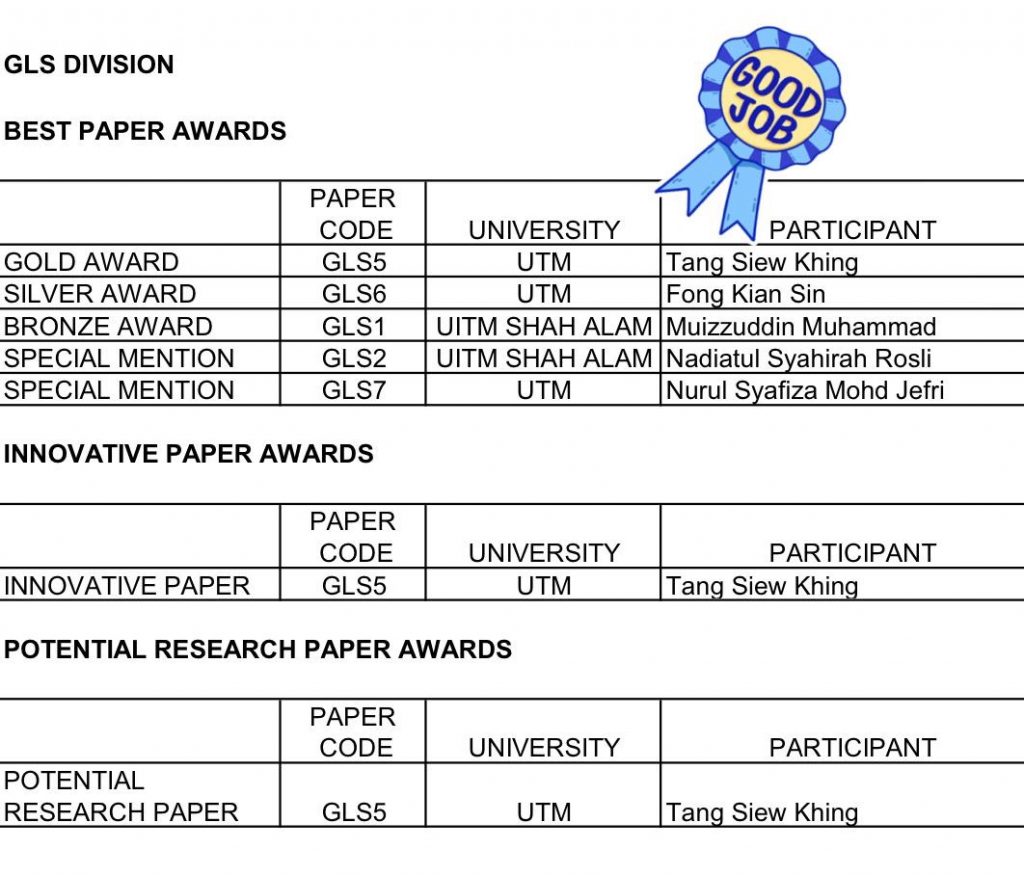 Congratulations to Tang Siew Khing in winning 3 national level awards by the Royal Institution of Surveyors Malaysia (RISM). She presented her Final Year Project (FYP) in a form of research paper last month. The awards are: