This post is related with my previous post regarding eyescloud3d by eCapture3D lead by Miguel González Cuétara, Guillermo De Miguel Retortillo and their team.
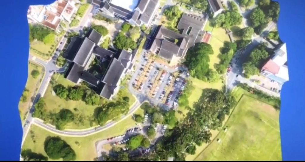
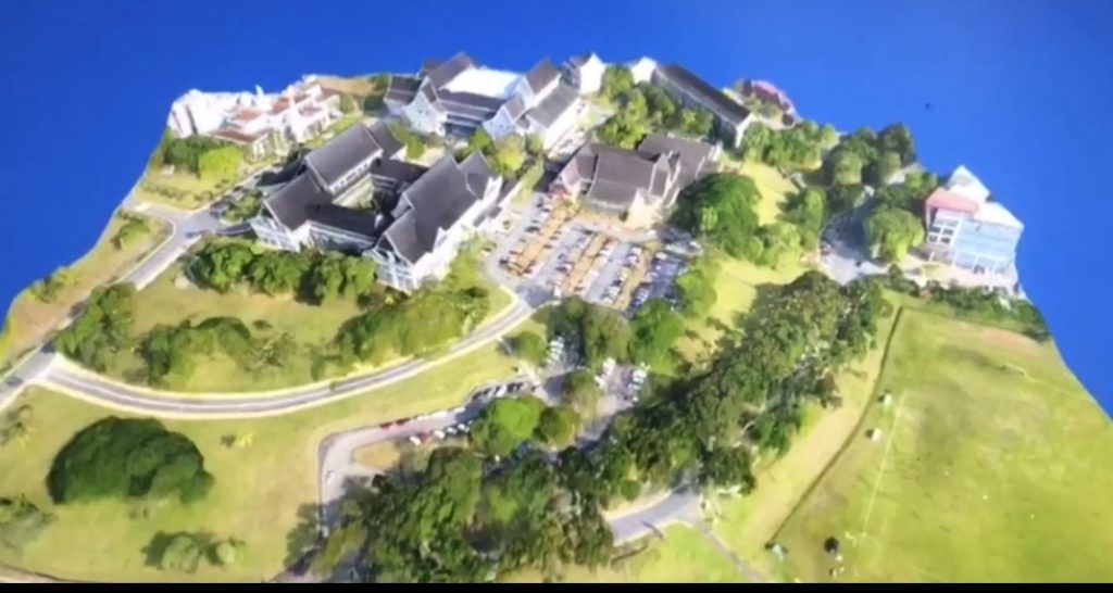
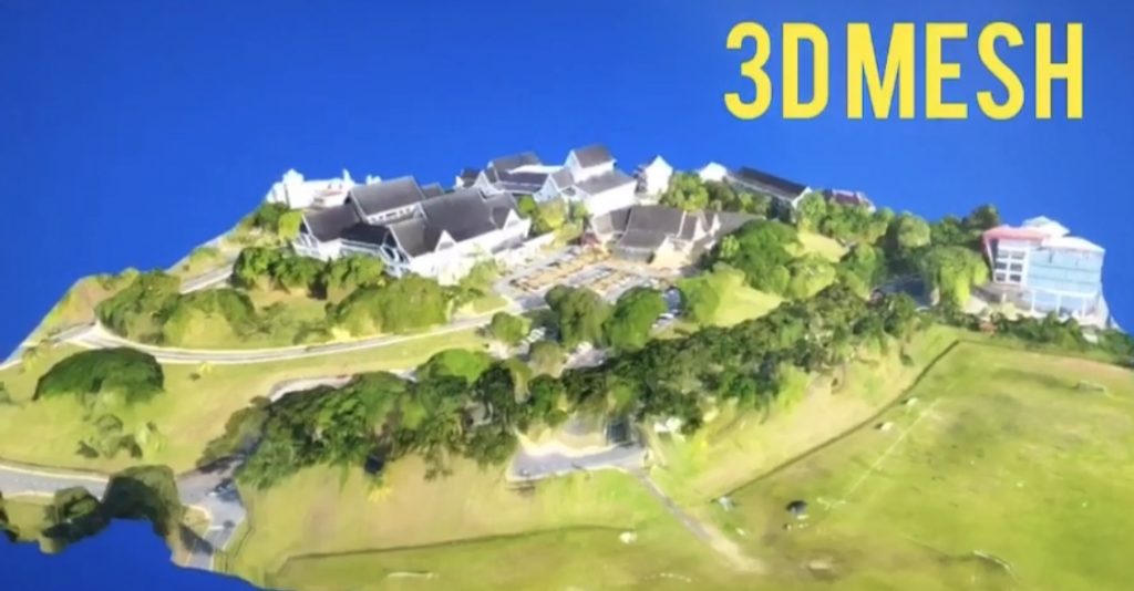
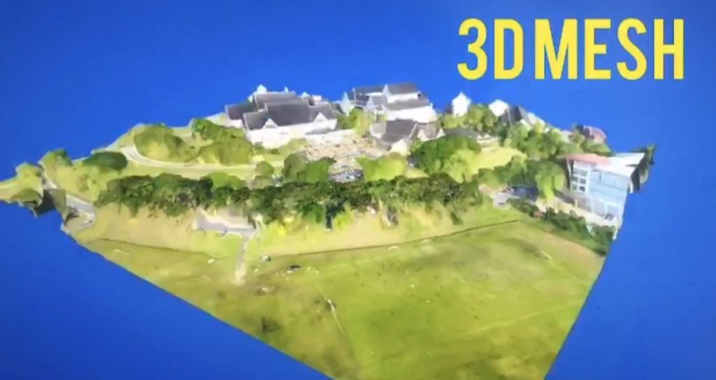
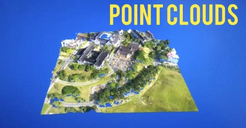
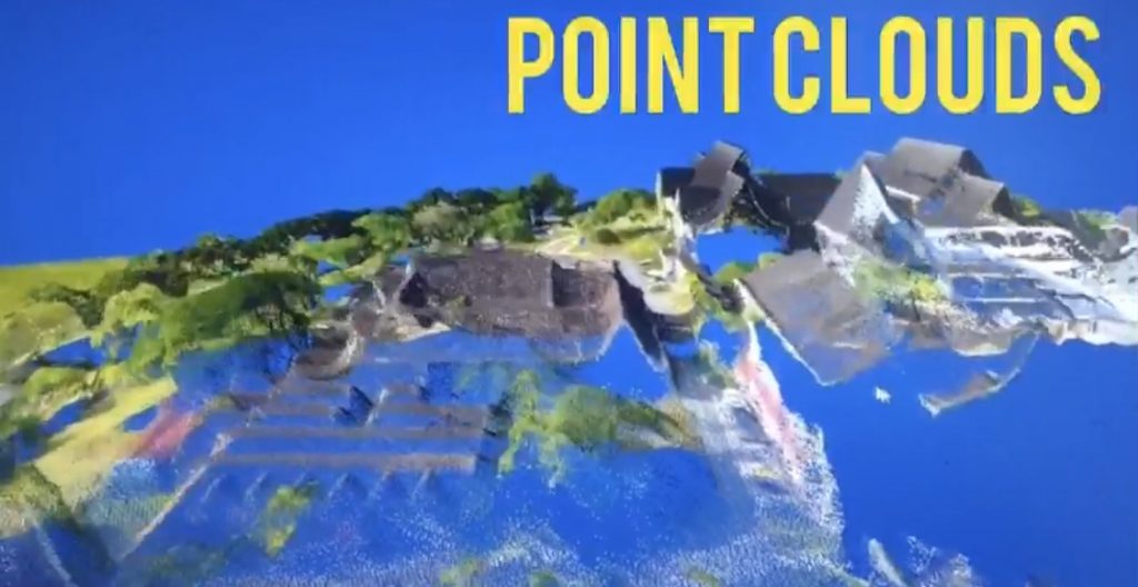
This time, I’m using series of 51 aerial photos taken from DJI Phantom 4 with the altitude of 150m. The images are taken at our Universiti Teknologi Malaysia (UTM) Johor Bahru campus.
In less than 30 minutes, the outputs are ready. Bare in mind that, there’s no use of mighty computing machine to process this (cloud processing), no prior knowledge needed, no Omega Phi Kappa, just photos and results. There you go. Less hassle. Interesting. Enjoy the campus view!

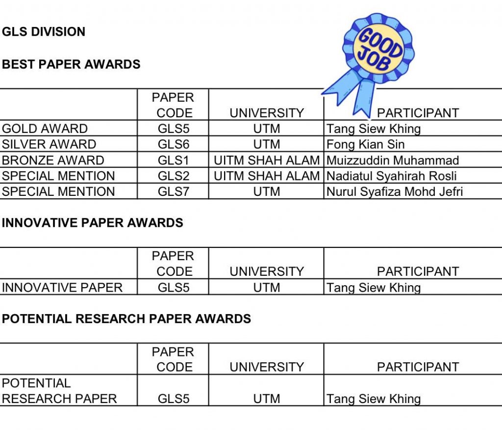 Congratulations to Tang Siew Khing in winning 3 national level awards by the Royal Institution of Surveyors Malaysia (RISM). She presented her Final Year Project (FYP) in a form of research paper last month. The awards are: